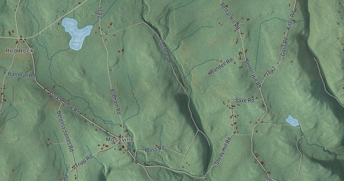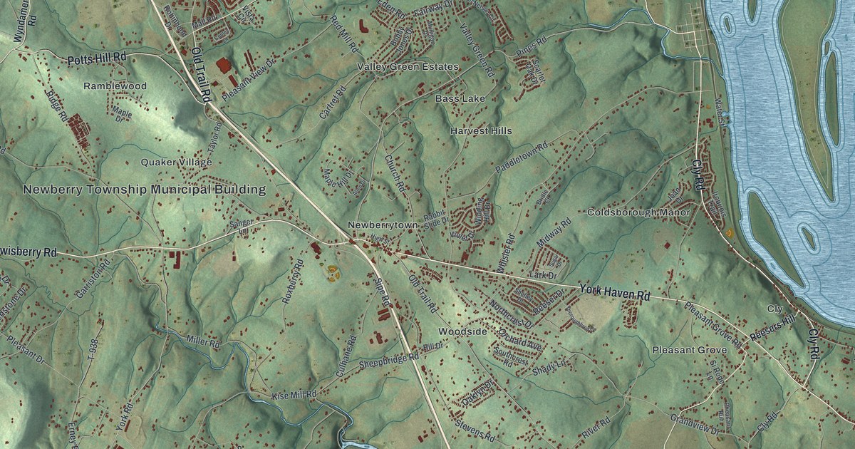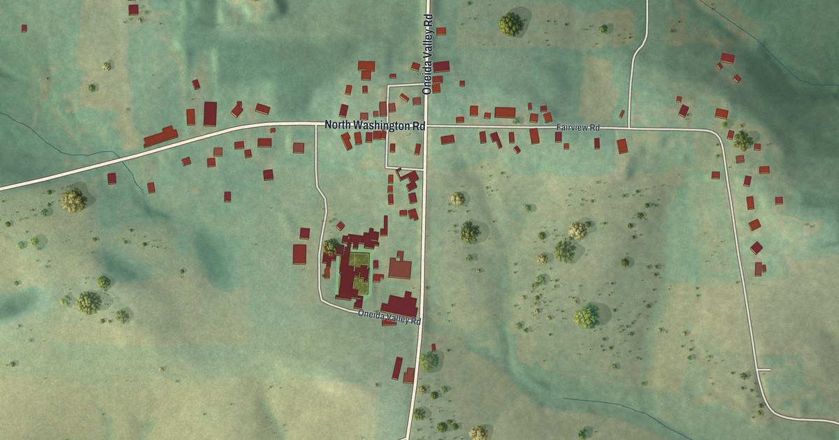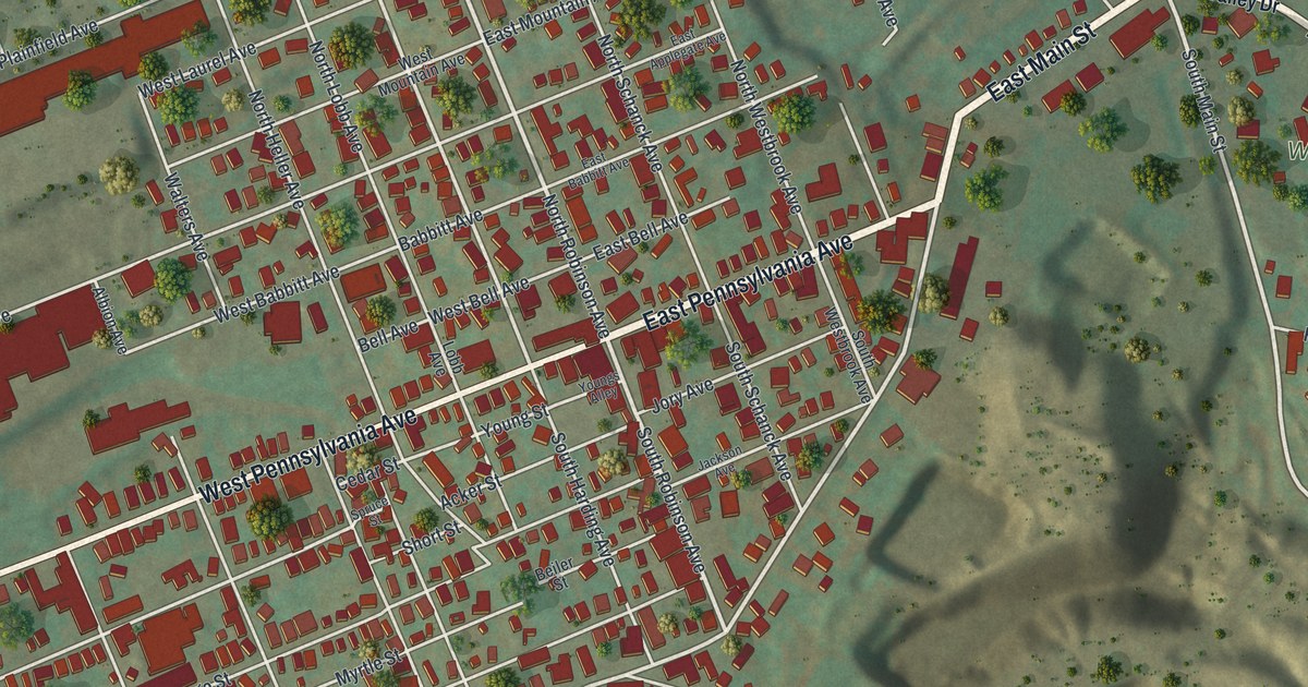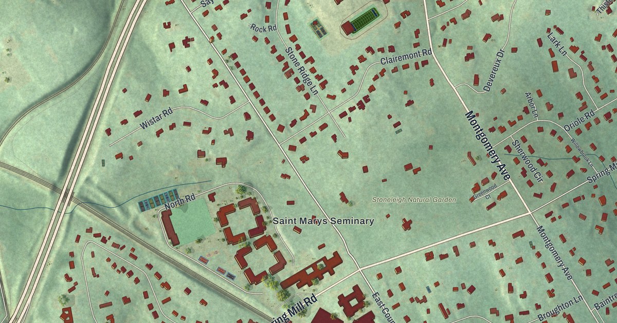
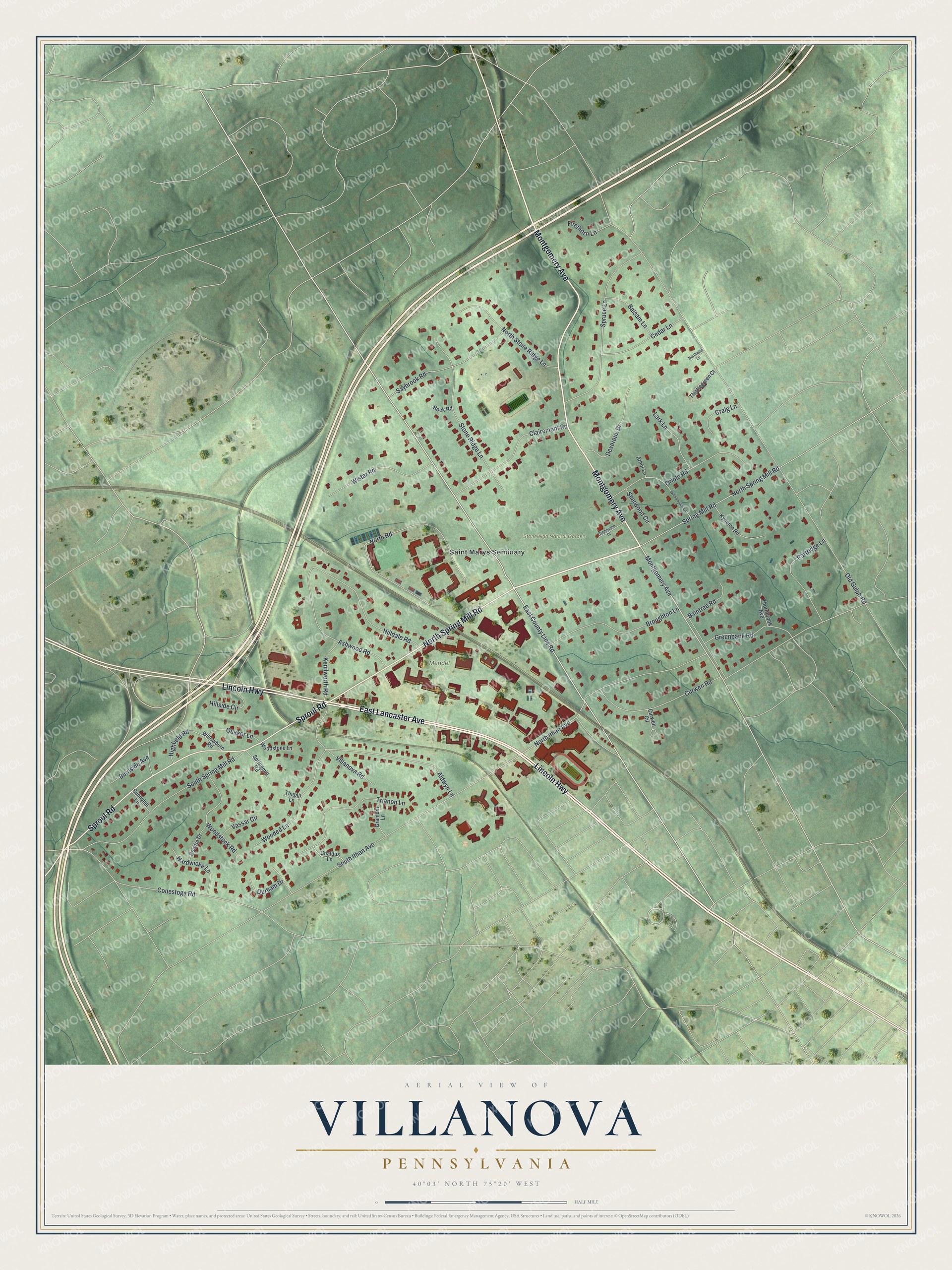
This beautifully detailed map of Villanova, Pennsylvania was created in 2026 using aerial imagery combined with modern topographical, census, street and landmark data. It's a modern aerial view of Villanova in Delaware County, Pennsylvania, that combines modern data with a vintage aesthetic. The roads feature printed names, and if you look closely you can find your exact house accurately shown in its correct location.
Explore an aerial view of Villanova, Pennsylvania
On this map you'll find Stoneleigh Natural Garden, Mendel Field, Saint Marys Seminary, East Lancaster Avenue, Lincoln Highway, North Spring Mill Road, Montgomery Avenue, Sproul Road, East County Line Road, North Ithan Avenue, Old Gulph Road, South Ithan Avenue, and more. Each red shape is a building, so zoom in on the preview and look for yours.
Villanova has a story worth telling. The Catholic Historical Research Center puts it this way: "Mass was said in the parlor of the Belle-Air mansion on August 28, 1843, where Reverend O’Dwyer christened the new college and monastery Villanova. A month later, classes began with ten students in the former Belle-Air mansion." Students lived in the attics, with the priests and teachers on the second floor and classes in the parlors.
Villanova is a community in Delaware County. The Census Bureau counted 8,213 people here in 2020.
Take a closer look at the Villanova map
Names on this map
These names are printed on this map.
Places: Stoneleigh Natural Garden, Mendel Field and Saint Marys Seminary.
Streets and roads: East Lancaster Avenue, Lincoln Highway, North Spring Mill Road, Montgomery Avenue, Sproul Road, East County Line Road, North Ithan Avenue, Old Gulph Road, South Ithan Avenue, North Road, Conestoga Road, Aldwyn Lane.
More street names, A to Z
Arbor Lane, Ashwood Road, Baintree Road, Balsam Lane, Broughton Lane, Burnside Avenue, Cedar Lane, Chaldus Lane, Clairemont Road, Comrie Drive, Craig Lane, Curwen Circle, Curwen Road, Devereux Drive, Durham Drive, Firethorn Lane, Gramont Lane, Greenbank Road, Greenwood Court, Hardwicke Lane, Highfield Road, Hilldale Road, Hillside Circle, Kenilworth Road, Kyneton Road, Lark Lane, North Stone Ridge Lane, Northwick Lane, Oriole Road, Partridge Lane, Quaker Lane, Rock Road, Saybrook Road, Sherwood Circle, South Spring Mill Road, Spring Mill Road, Springmill Road, Spruce Lane, Stone Ridge Lane, Sunnyhill Lane, Thistlegreen Court, Thornbrook Avenue, Tindall Lane, Trianon Lane, Vassar Circle, Villanova Road, Willowbrook Lane, Willowburn Road, Wistar Road, Wooded Lane, Woodstock Road, Woodstone Lane.
See it on a wall
The Villanova map as a framed print. Swipe for more.


Created by KNOWOL in 2026. The buildings are small red shapes, the roads carry their printed names, and shaded relief shows the shape of the land. The title panel reads "AERIAL VIEW OF VILLANOVA, PENNSYLVANIA" with 40°03' NORTH 75°20' WEST.
It looks right in a kitchen, an office or a den, and it's a gift for anyone who grew up in Villanova or moved away. Open the preview and find your street. See sizes and frames for the Villanova map.