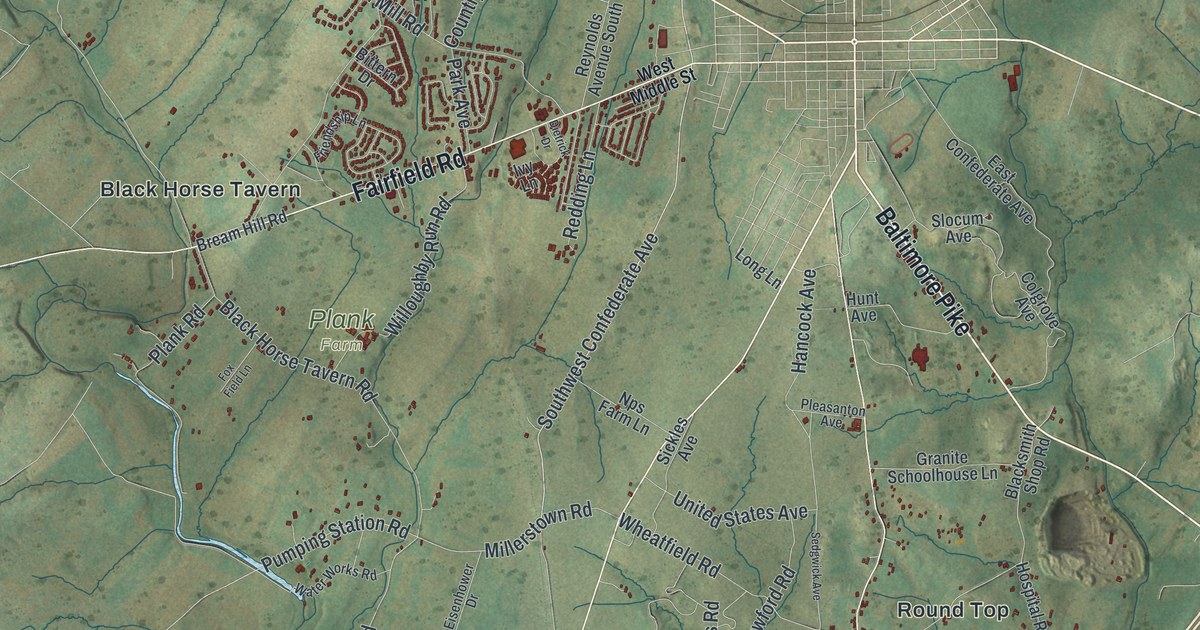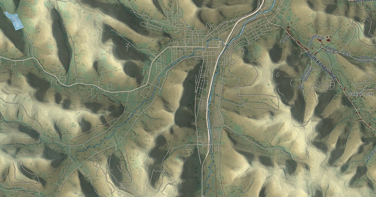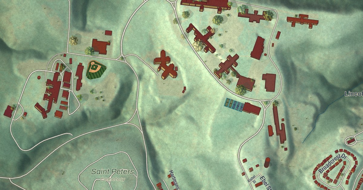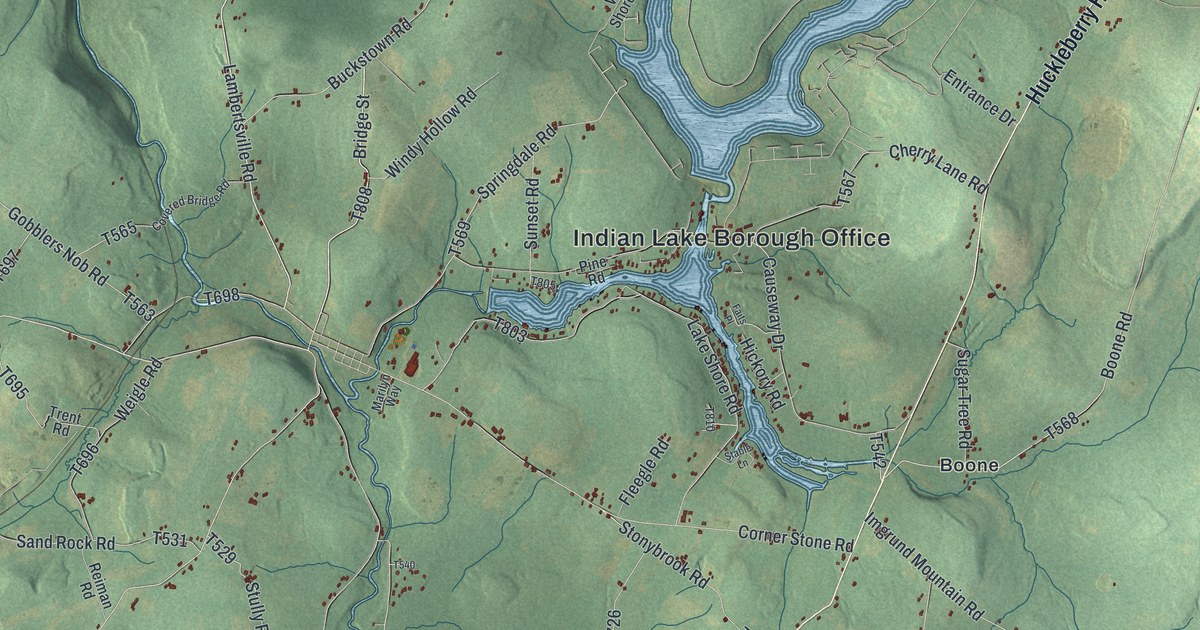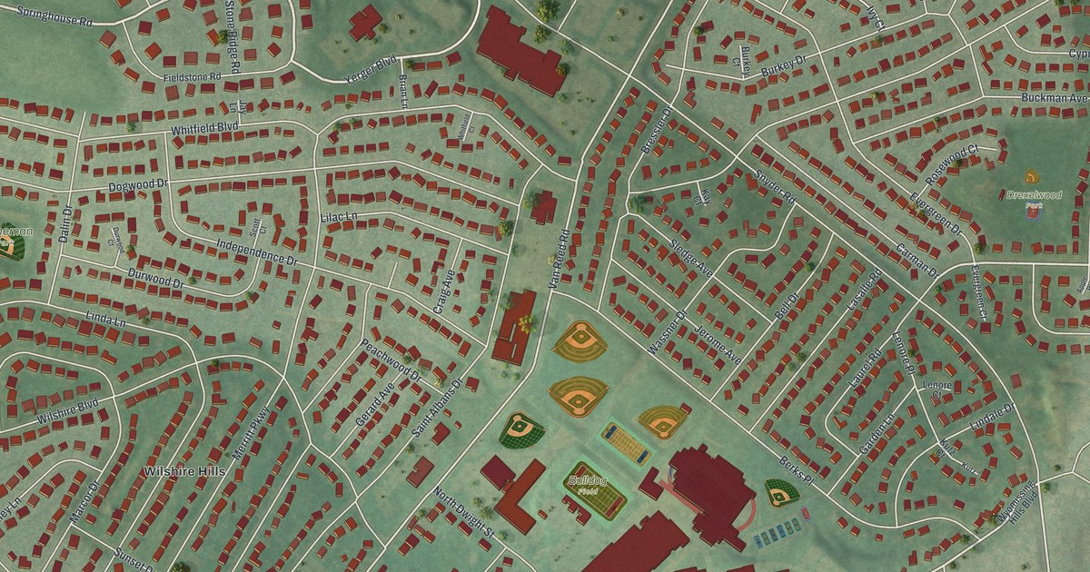
This beautifully detailed map of Whitfield, Pennsylvania was created in 2026 using aerial imagery combined with modern topographical, census, street and landmark data. It's a modern aerial view of Whitfield in Berks County, Pennsylvania, that combines modern data with a vintage aesthetic. The roads feature printed names, and if you look closely you can find your exact house accurately shown in its correct location.
Explore an aerial view of Whitfield, Pennsylvania
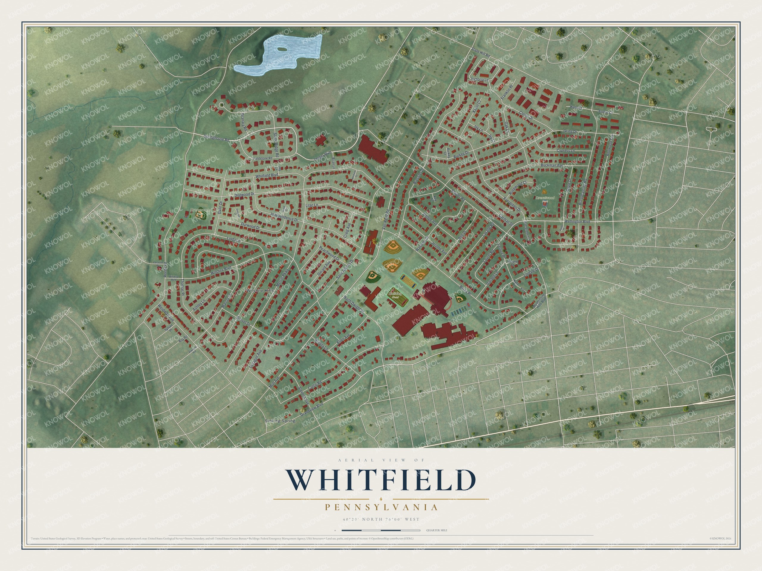
On this map you'll find Drexelwood Park, Breneman Park, Bulldog Field, Sinking Spring, Wilshire Hills, Springhouse Road, Yerger Boulevard, Grandview Boulevard, Victoria Lane, Wellington Boulevard, Van Reed Road, Snyder Road, and more. Each red shape is a building, so zoom in on the preview and look for yours.
Whitfield is a community in Berks County. The Census Bureau counted 4,911 people here in 2020. Whitfield sits about 2 miles southwest of Spring Ridge, 2 miles northwest of Lincoln Park and 2 miles southwest of Colony Park. The map prints the town name in its title panel, with the coordinates below it.
Take a closer look at the Whitfield map
Names on this map
These names are printed on this map.
Places: Drexelwood Park, Breneman Park, Bulldog Field, Sinking Spring and Wilshire Hills.
Streets and roads: Springhouse Road, Yerger Boulevard, Grandview Boulevard, Victoria Lane, Wellington Boulevard, Van Reed Road, Snyder Road, Reedy Road, Gring Drive, Whitfield Boulevard, Linda Lane, Merritt Parkway.
More street names, A to Z
Andre Court, Apple Drive, Apple Place, Ashley Lane, Bell Drive, Berks Place, Bressler Drive, Brevity Lane, Brian Lane, Broadcasting Road, Buckman Avenue, Burkey Court, Burkey Drive, Carman Drive, Clover Drive, Cotswold Road, Craig Avenue, Curtis Road, Cypress Lane, Dalin Drive, Dogwood Drive, Durwood Court, Durwood Drive, Ellen Avenue, Evergreen Court, Evergreen Drive, Fieldstone Road, Franklin Place, Garden Lane, Gerard Avenue, Granary Road, Hale Court, Independence Drive, Ivy Court, Ivy Lane, Jay Lane, Jerome Avenue, Kay Court, Kevin Court, Kirkwood Avenue, Kutz, Kutz Court, Lasalle Road, Laurel Road, Lenore Court, Lenore Place, Lilac Lane, Lindale Drive, Marcor Drive, Mull Avenue, North Dwight Street, Oak Lane, Octagon Avenue, Peachwood Drive, Ray Road, Redwood Avenue, Rosewood Court, Saint Albans Drive, Scott Court, Sledge Avenue, State Hill Road, Stevens Avenue, Stone Ridge Road, Sunset Drive, Sylvan Place, Thomas Place, Wassner Drive, Weidman Avenue, Whitfield Court, Wilshire Boulevard, Wilshire Bvld, Wyomissing Hills Boulevard.
See it on a wall
The Whitfield map as a framed print. Swipe for more.


Created by KNOWOL in 2026. The buildings are small red shapes, the roads carry their printed names, and shaded relief shows the shape of the land. The title panel reads "AERIAL VIEW OF WHITFIELD, PENNSYLVANIA" with 40°20' NORTH 76°00' WEST.
Hang it in the hallway, the office or the cabin, or give it to someone who left Whitfield and still calls it home. Open the preview and look for a street you know. See sizes and frames for the Whitfield map.