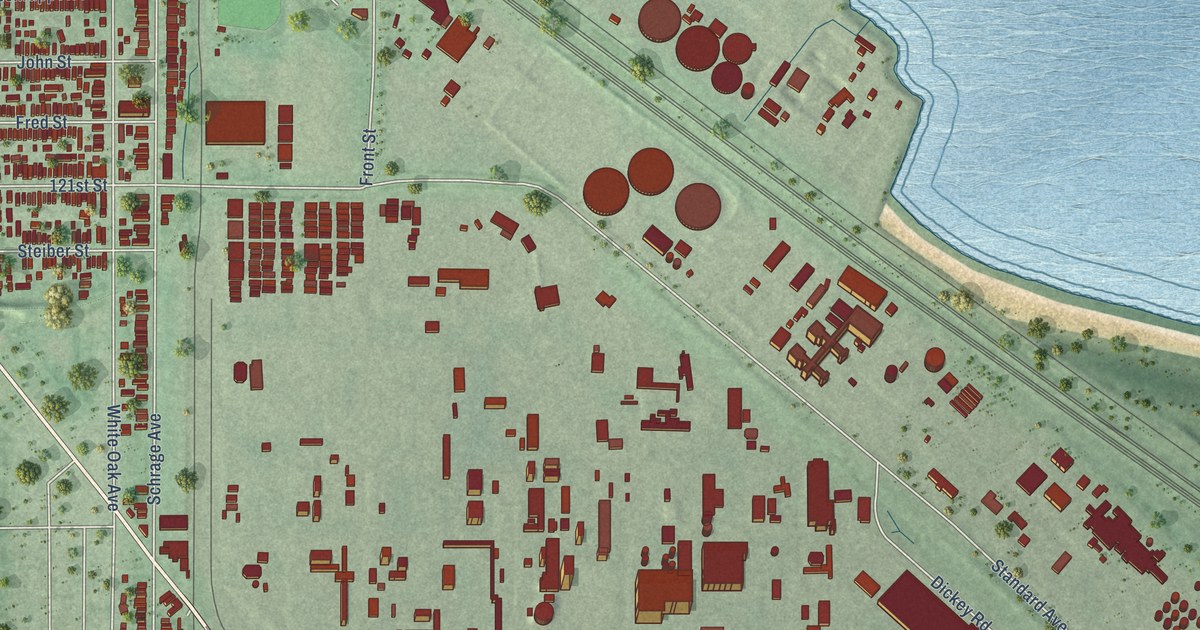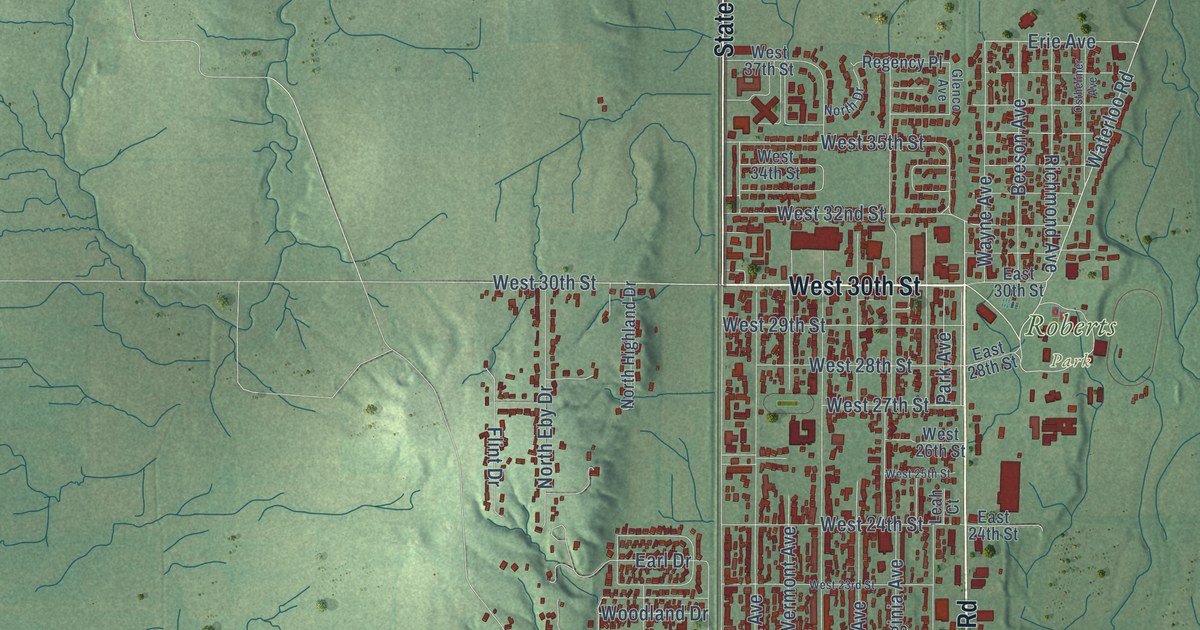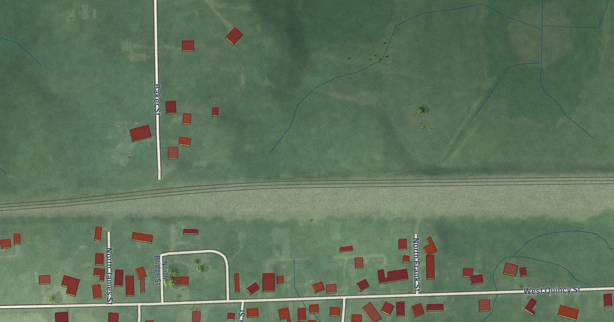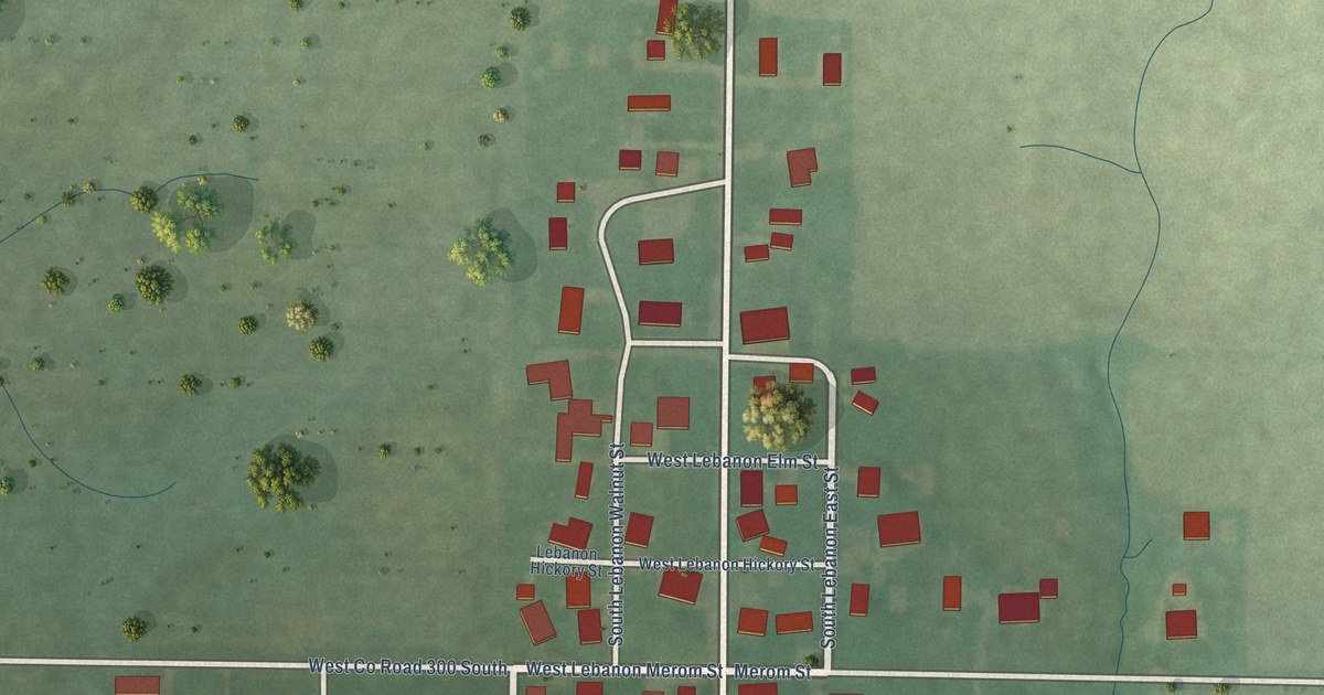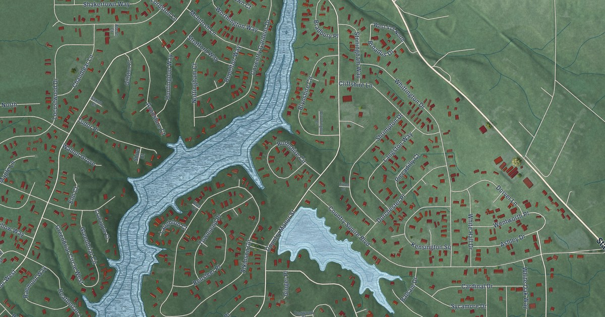
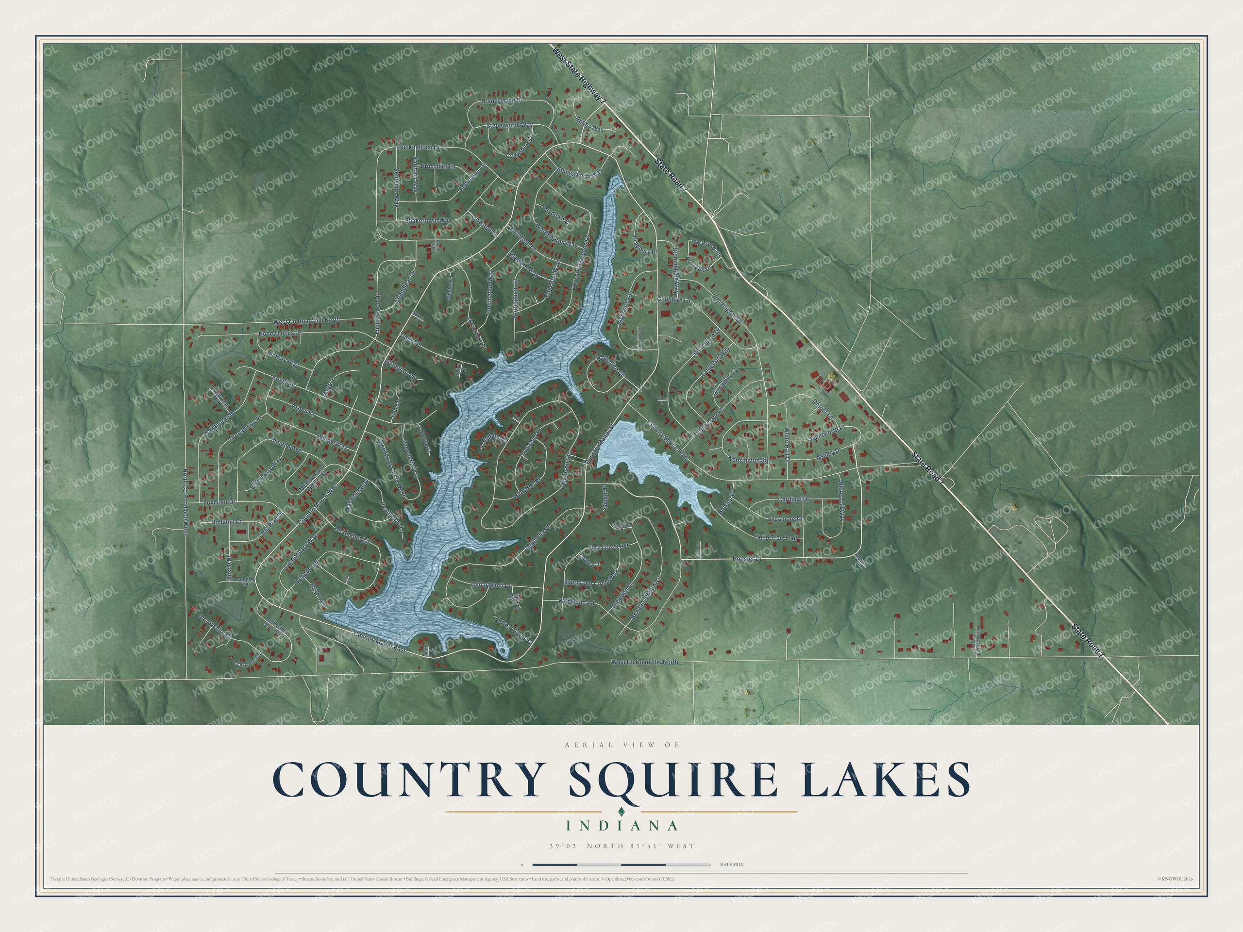
This beautifully detailed map of Country Squire Lakes, Indiana was created in 2026 using aerial imagery combined with modern topographical, census, street and landmark data. It's a modern aerial view of Country Squire Lakes in Jennings County, Indiana, that combines modern data with a vintage aesthetic. The roads feature printed names, and if you look closely you can find your exact house accurately shown in its correct location.
Explore an aerial view of Country Squire Lakes, Indiana
On this map you'll find State Road 7, West State Highway 7, Wildwood Road, Hoosier Drive, Country Manor East, Country Manor West, Country Manor Street, West Co Road 300 North, North Co Road 500 West, Atkinson Circle, Buckingham Drive, Country Squire Boulevard, and more. Each red shape is a building, so zoom in on the preview and look for yours.
Country Squire Lakes is a community in Jennings County. The Census Bureau counted 3,558 people here in 2020. Country Squire Lakes sits about 3 miles southeast of Scipio, 3 miles northwest of North Vernon and 5 miles northeast of Hayden. The map prints the town name in its title panel, with the coordinates below it.
Take a closer look at the Country Squire Lakes map
Names on this map
These names are printed on this map.
Streets and roads: State Road 7, West State Highway 7, Wildwood Road, Hoosier Drive, Country Manor East, Country Manor West, Country Manor Street, West County Road 300 North, North County Road 500 West, Atkinson Circle, Buckingham Drive, Country Squire Boulevard.
More street names, A to Z
Abbey Way, Almond Avenue, Ascot Court, Ashley Drive, Aspen Court, Avonshire Court, Balsam Drive, Beech Road, Bending Willow Lane, Big Pine Drive, Blynshire Circle, Bradbury Place, Brandywyne Drive, Bret Court, Bristol Court, Broadus Drive, Brownington Court, Cardinal Drive, Catalpa Court, Cedar Knoll Drive, Chandlear Lane, Chatsworth Lane, Cliffshire Lane, Coventry Gardens Drive, Covyshire Circle, Crabapple Court, Crestwood Court, Dam Court, Derbyshire Court, Derbyshire Court East, Dogwood Court, Dogwood Lane, Dongley Court, Dorchester Place, Dorver Lane, Dorydown Court, Earlham Way, Eddington Lane, Elderberry Way, Ellingsworth Way, Elm Court, Evergreen Circle Way, Fair Oaks Court, Fern Grove Avenue, Forrest Grove Court, Foxmoor Drive, Gentshire Way, Gillyton Court, Ginger Place, Glen Court, Greenbriar Circle, Greenbriar Circle West, Greenwood Place, Hawthorne Drive, Heatherlan Lane, Heathglen Circle, Hickory Way, Hollyton Court, Honey Locust Place, Hoosier Court, Huntingdon Way, Hylander Drive, Kensington Square, Langston Way, Larkspur Lane, Laughton Court, Litton Court, Locustwood Drive, Londondary Way, Lordston Lane, Magnolia Place, Maple Lane, McIntosh Lane, Meadow Grove Circle East, North County Road 275 West, Nottingham Court, Piccadilly Court, Primshire Lane, Raemont Way, Rensleer Place, Rothshire Circle, Rupelton Way, Saxon Court, Shakertown Way, Shire Court, Shrimpton Drive, Stepelworth Way, Stoningham Way, Stratford Way, Sycamore Drive, Thistle Place, Townsend Place, Tudor Place, Tulip Tree Trail, Walnut Grove, Wentworth Place, West 415 North, West County Road 400 North, White Hall Drive, White Oak Way, Whittington Drive, Willow Way, Worthington Way.
See it on a wall
The Country Squire Lakes map as a framed print. Swipe for more.


Created by KNOWOL in 2026. The buildings are small red shapes, the roads carry their printed names, and shaded relief shows the shape of the land. The title panel reads "AERIAL VIEW OF COUNTRY SQUIRE LAKES, INDIANA" with 39°02' NORTH 85°41' WEST.
It looks right in a kitchen, an office or a den, and it's a gift for anyone who grew up in Country Squire Lakes or moved away. Open the preview and find your street. See sizes and frames for the Country Squire Lakes map.