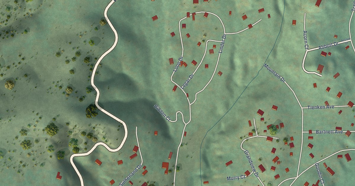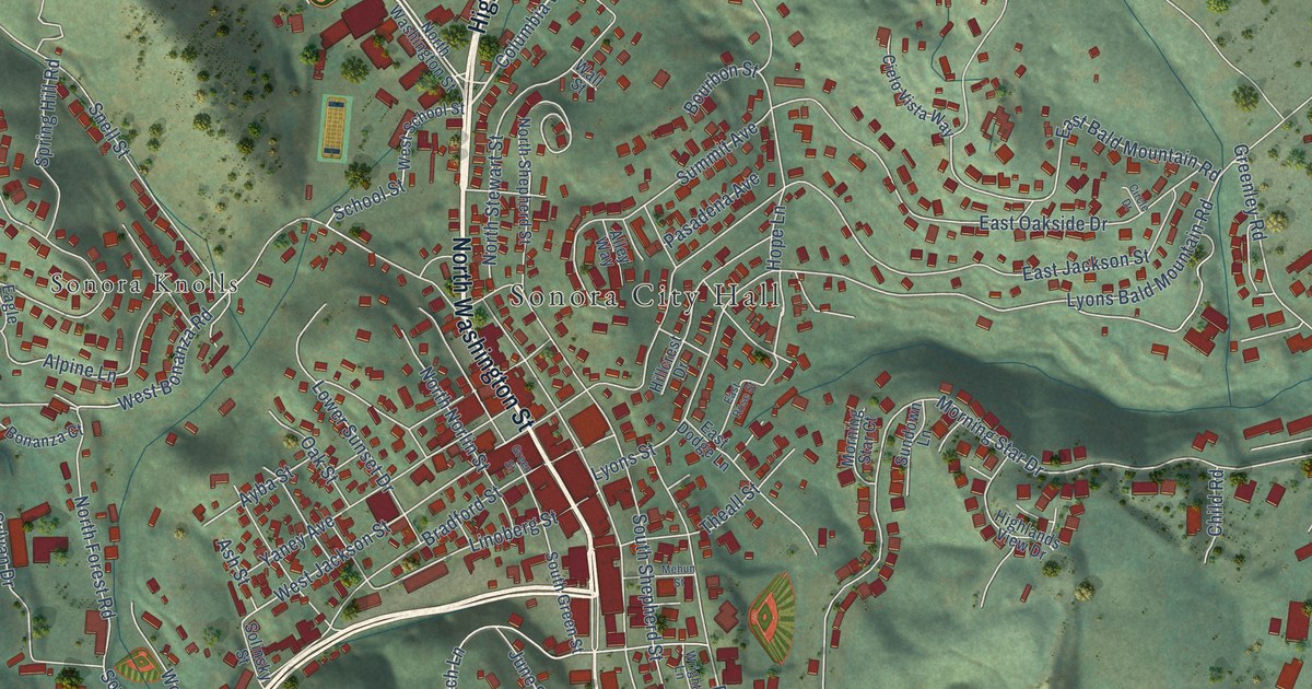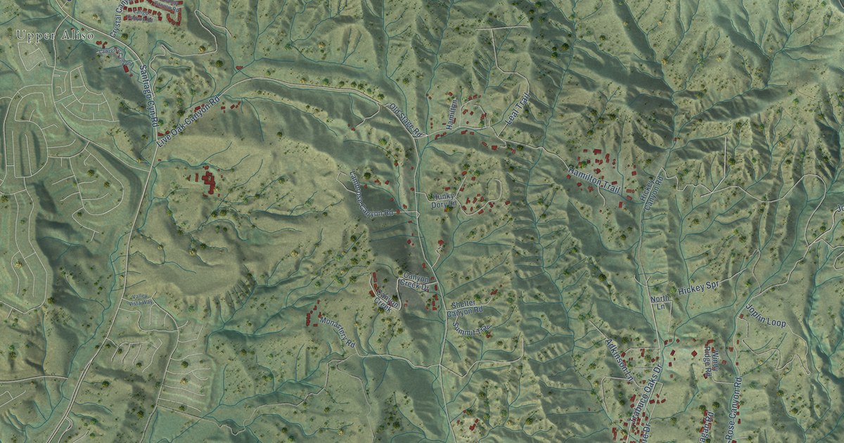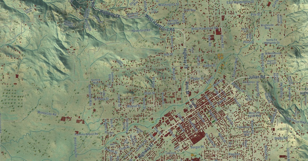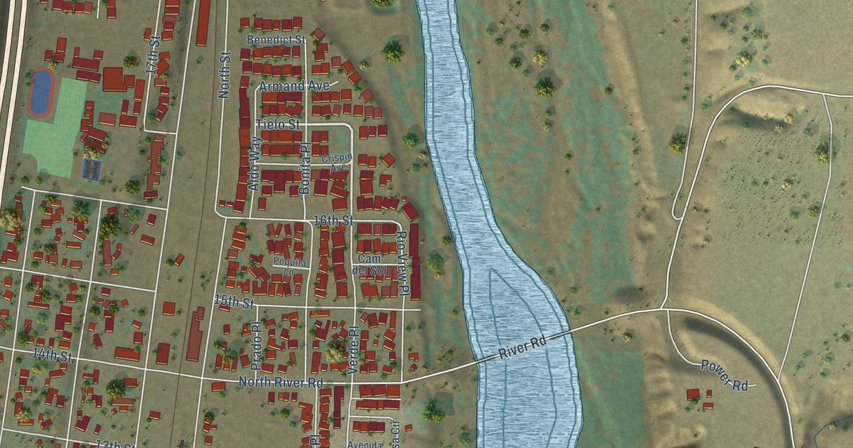
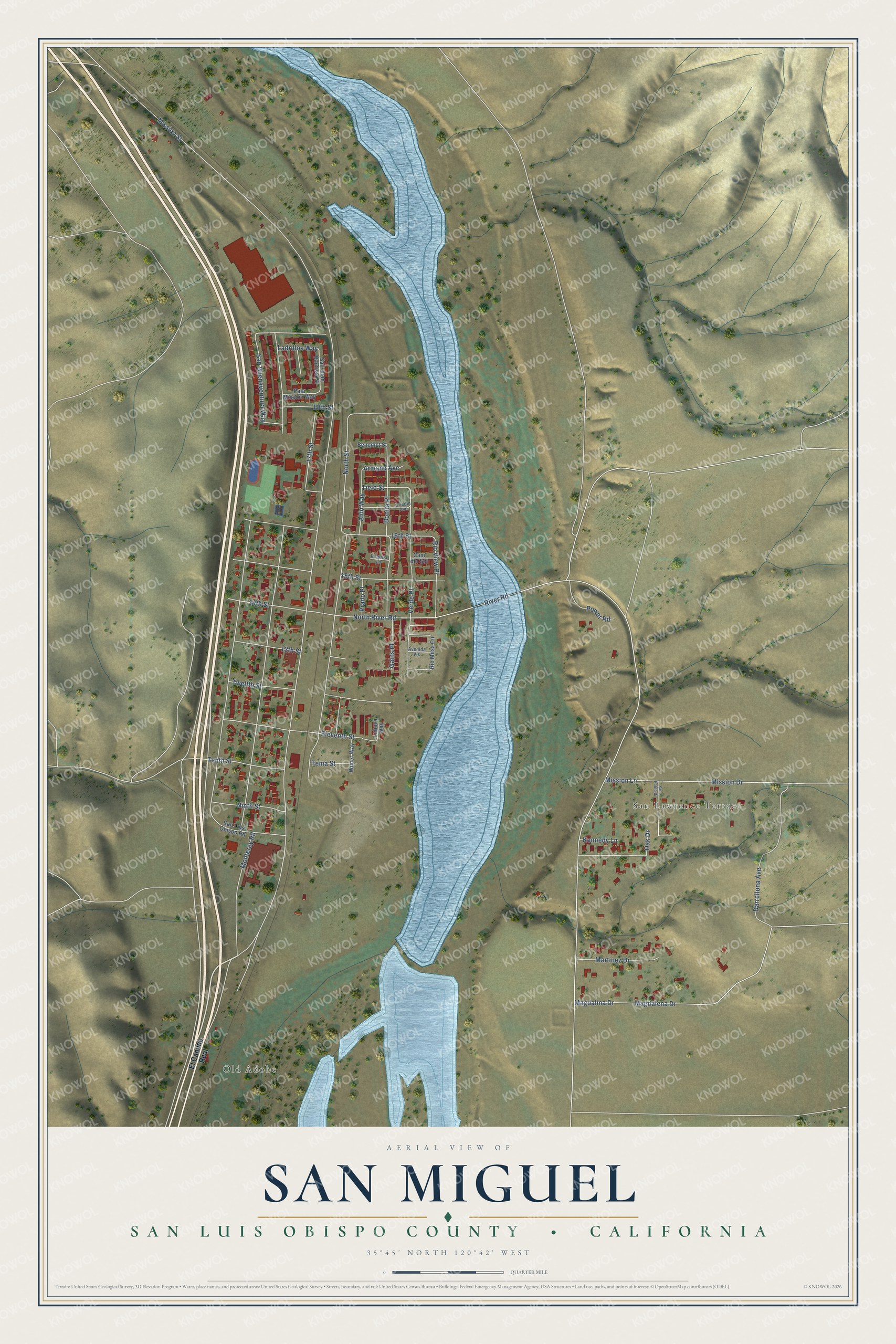
This beautifully detailed map of San Miguel, California was created in 2026 using aerial imagery combined with modern topographical, census, street and landmark data. It's a modern aerial view of San Miguel in San Luis Obispo County, California, that combines modern data with a vintage aesthetic. The roads feature printed names, and if you look closely you can find your exact house accurately shown in its correct location.
Explore an aerial view of San Miguel, California
On this map you'll find Old Adobe, San Lawrence Terrace, Tielo Street, San Buenaventura Way, Mission Street, River Road, North River Road, North Street, Magdalena Drive, Magdalina Drive, 15th Street, Mission Drive, and more. Each red shape is a building, so zoom in on the preview and look for yours.
San Miguel has a story worth telling. The California Office of Historic Preservation puts it this way: "Fray Fermín Francisco de Lasuén, OFM, second president of the California missions, founded San Miguel Arcángel on July 25, 1797. The 16th in a chain of 21 Franciscan missions, it influenced not only the native population, but the history of California as a whole." The site was chosen because so many Salinan people lived in the area.
San Miguel is a community in San Luis Obispo County. The Census Bureau counted 3,172 people here in 2020.
Take a closer look at the San Miguel map
Names on this map
These names are printed on this map.
Places: Old Adobe and San Lawrence Terrace.
Streets and roads: Tielo Street, San Buenaventura Way, Mission Street, River Road, North River Road, North Street, Magdalena Drive, Magdalina Drive, 15th Street, Mission Drive, Mission Lane, 16th Street.
More street names, A to Z
13th Street, 14th Street, 17th Street, 19th Street, Aldo Way, Armand Avenue, Avenida Vis, Benedict Street, Bonita Place, Cam del Sol, Crispin Avenue, Darrellona Avenue, El Camino Real, Eleventh Street, Gains Place, Kennedy Lane, Ladrillos Way, Lubova Way, Martinez Drive, Monterey Road, Ninth Street, Oak Drive, Pala Mission Way, Poquita Lane, Power Road, Prado Place, Rio Mesa Circle, Rio View Place, San Juan Bautista Street, San Luis Obispo Road, San Pablo Drive, Tema Street, Tenth Street, Twelfth Street, Verde Place, Wimer Way.
See it on a wall
The San Miguel, San Luis Obispo County map as a framed print. Swipe for more.


Created by KNOWOL in 2026. The buildings are small red shapes, the roads carry their printed names, and shaded relief shows the shape of the land. The title panel reads "AERIAL VIEW OF SAN MIGUEL, SAN LUIS OBISPO COUNTY • CALIFORNIA" with 35°45' NORTH 120°42' WEST.
It looks right in a kitchen, an office or a den, and it's a gift for anyone who grew up in San Miguel or moved away. Open the preview and find your street. See sizes and frames for the San Miguel, San Luis Obispo County map.