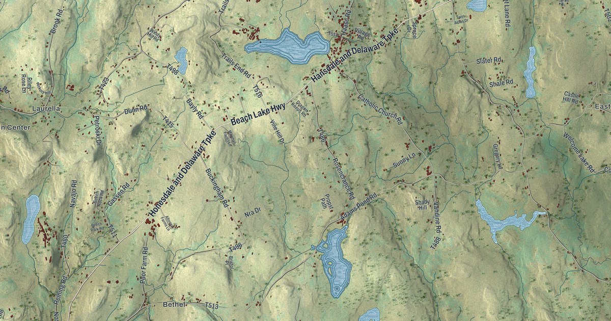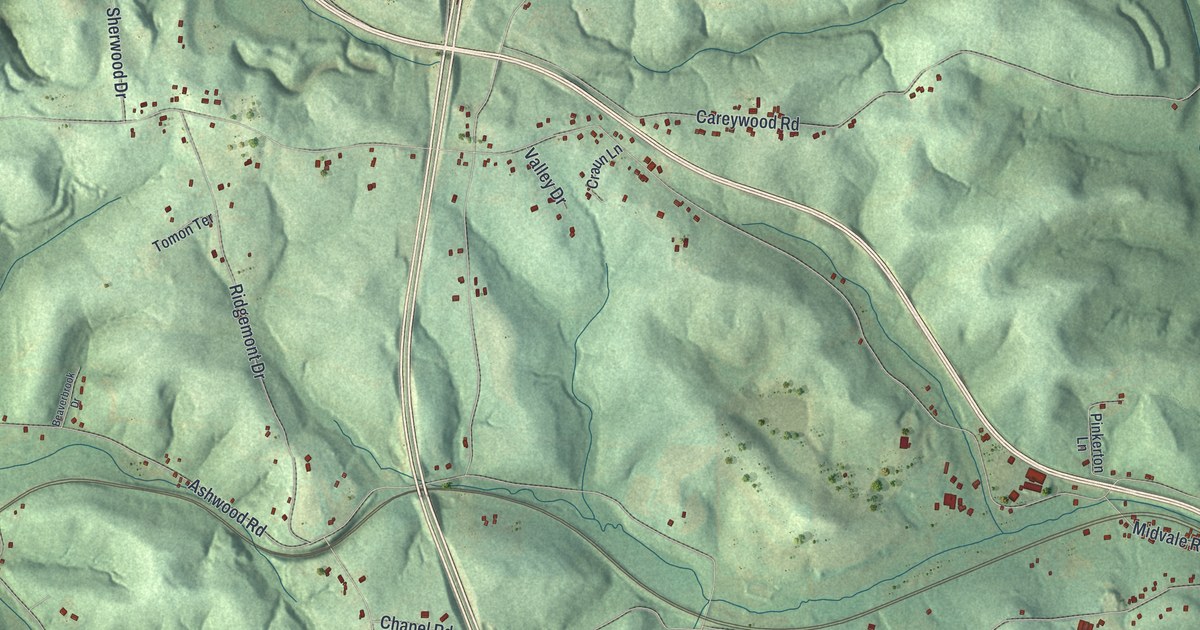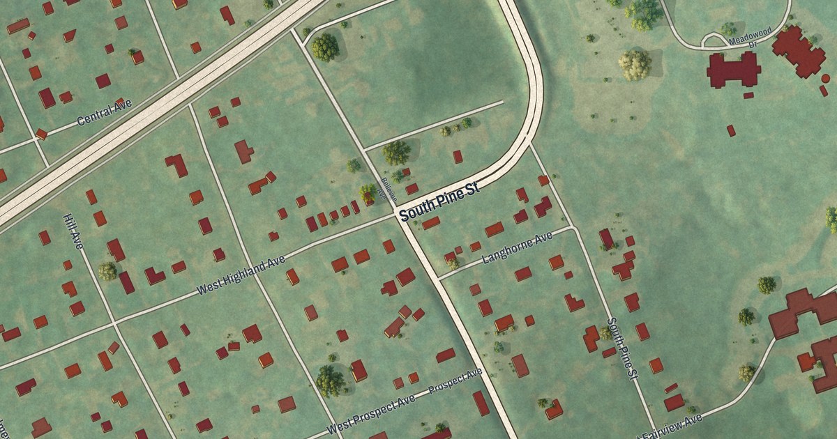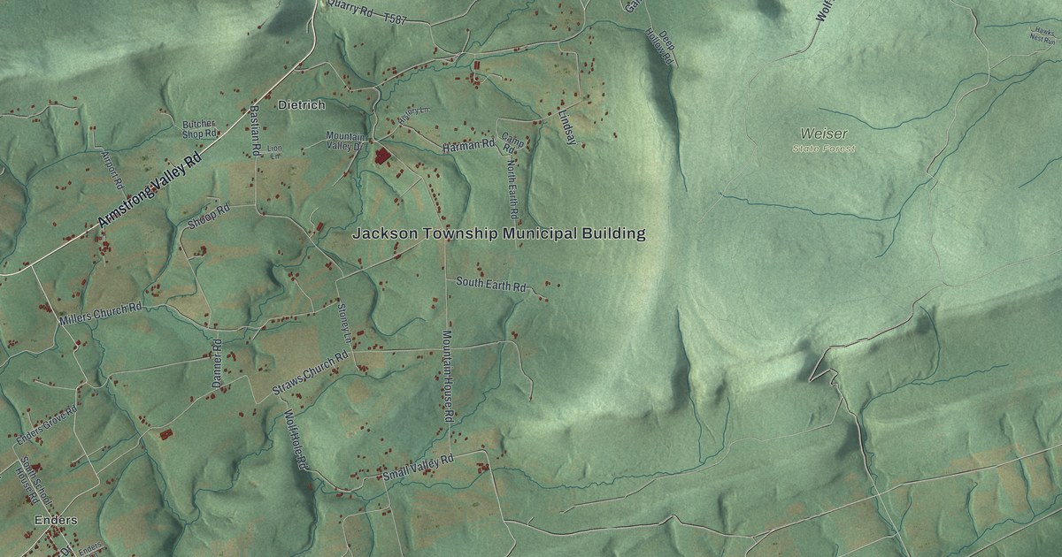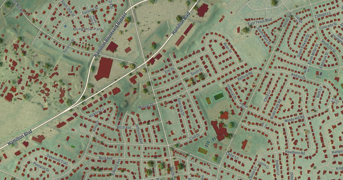
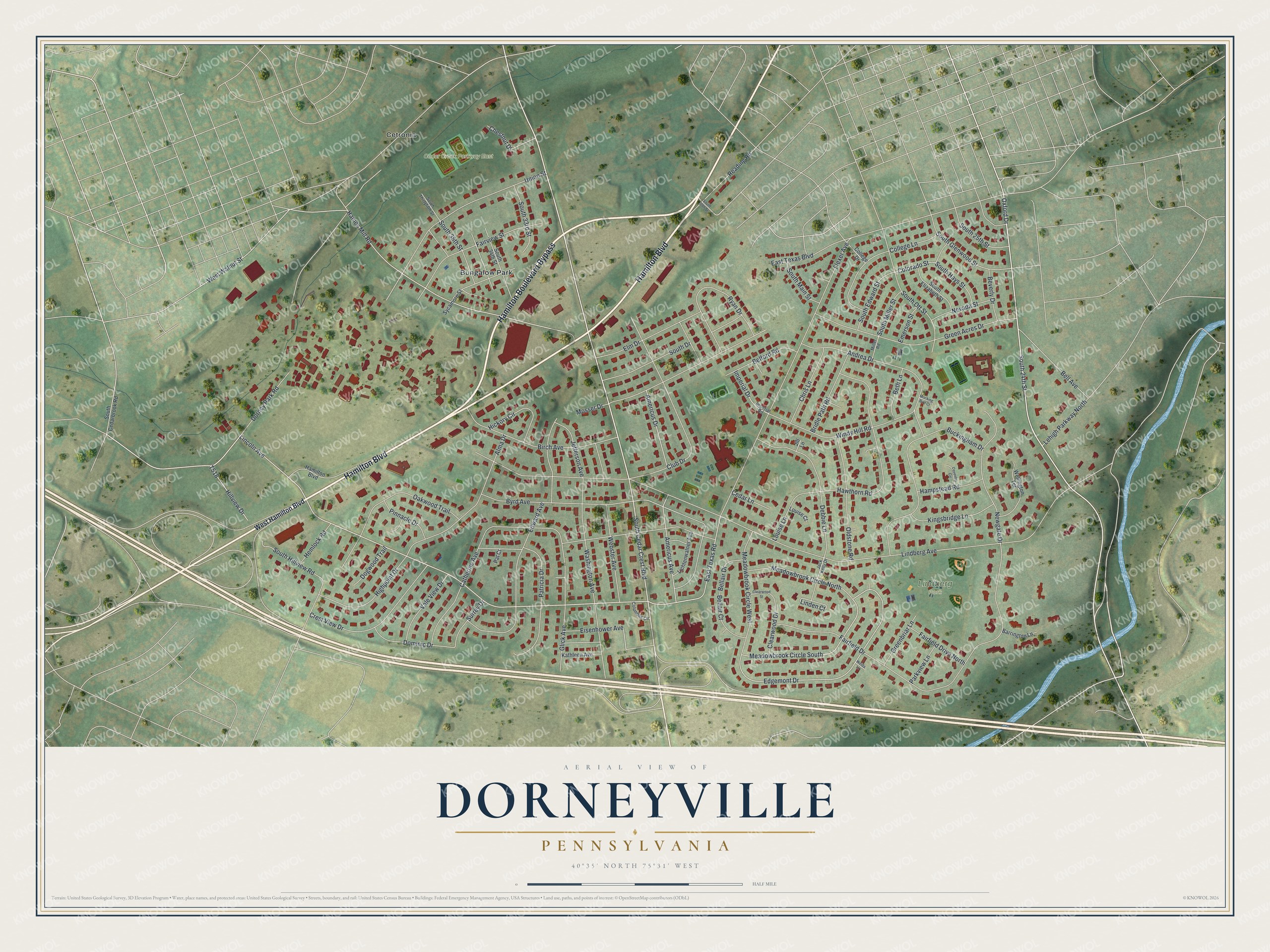
This beautifully detailed map of Dorneyville, Pennsylvania was created in 2026 using aerial imagery combined with modern topographical, census, street and landmark data. It's a modern aerial view of Dorneyville in Lehigh County, Pennsylvania, that combines modern data with a vintage aesthetic. The roads feature printed names, and if you look closely you can find your exact house accurately shown in its correct location.
Explore an aerial view of Dorneyville, Pennsylvania
On this map you'll find Cedar Creek Parkway East, Lindberg Park, Bungalow Park, Cetronia, Hamilton Boulevard Bypass, Hamilton Boulevard, South Cedar Crest Boulevard, Lincoln Avenue, South 24th Street, Webster Avenue, Edgemont Drive, Meadowbrook Circle South, and more. Each red shape is a building, so zoom in on the preview and look for yours.
Dorneyville is a community in Lehigh County. The Census Bureau counted 4,850 people here in 2020. Dorneyville sits about 2 miles northeast of Wescosville, 2 miles southwest of Allentown and 3 miles north of Emmaus. The map prints the town name in its title panel, with the coordinates below it.
Take a closer look at the Dorneyville map
Names on this map
These names are printed on this map.
Places: Cedar Creek Parkway East, Lindberg Park, Bungalow Park and Cetronia.
Streets and roads: Hamilton Boulevard Bypass, Hamilton Boulevard, South Cedar Crest Boulevard, Lincoln Avenue, South 24th Street, Webster Avenue, Edgemont Drive, Meadowbrook Circle South, Colorado Street, Lindberg Avenue, Oxford Drive, Flexer Avenue.
More street names, A to Z
Alma Drive, Americus Avenue, Americus Drive, Andrea Drive, Barrington Lane, Belford Road, Bellair Court, Bellair Drive, Bell Avenue, Beth Lane, Beverly Drive, Birch Avenue, Bridle Path Road, Buckingham Drive, Byrd Avenue, Catherine Avenue, Cedar Lane, Chestnut Drive, Chris Lane, Clearwood Drive, Clearwood Street, Club Drive, College Drive, College Lane, Columbus Circle, Coventry Circle, Crest View Drive, Debbie Lane, Dogwood Trail, Dominic Drive, Dorney Park Road, East Texas Boulevard, East Texas Road, Edward Avenue, Eisenhower Avenue, Elm Drive, Emerson Street, Fairfield Drive, Fairfield Drive North, Fairview Street, Glick Avenue, Green Acres Drive, Greenbriar Lane, Haines Mill Road, Hampstead Road, Hawthorn Road, Hemlock Road, Hickory Circle, Highpoint Drive, Hillview Drive, Imperial Drive, Imperial Road, Jack Kelly Drive, Jefferson Avenue, Jill Lane, Kathleen Avenue, Kingsbridge Lane, Lehigh Parkway North, Lichtenwalner Avenue, Linden Court, Louise Court, Louise Lane, Meadowbrook Circle North, Meadowbrook Circle West, Miller Road, Mocking Bird Court, Mosser Drive, Nevada Street, Newgate Drive, Oakwood Trail, Oldstone Road, Parkview Lane, Pat Court, Patricia Drive, Pinnacle Drive, Reading Road, Ryan Drive, South 25th Street, South 30th Street, South 33rd Street, South 34th Street, South 35th Street, South Cedarbrook Road, South Drive, South Edward Street, South Elizabeth Street, South Glenwood Street, South Hays Street, South Hillview Road, South Main Street, South Miller Street, South Ott Street, South Thirtyfifth Street, Surrey Drive, Sycamore Street, Union Street, Vale View Drive, Washington Avenue, Weida Lane, Wellington Terrace, West Hamilton Boulevard, West Walnut Street, Windy Hill Road.
See it on a wall
The Dorneyville map as a framed print. Swipe for more.


Created by KNOWOL in 2026. The buildings are small red shapes, the roads carry their printed names, and shaded relief shows the shape of the land. The title panel reads "AERIAL VIEW OF DORNEYVILLE, PENNSYLVANIA" with 40°35' NORTH 75°31' WEST.
Hang it in the hallway, the office or the cabin, or give it to someone who left Dorneyville and still calls it home. Open the preview and look for a street you know. See sizes and frames for the Dorneyville map.