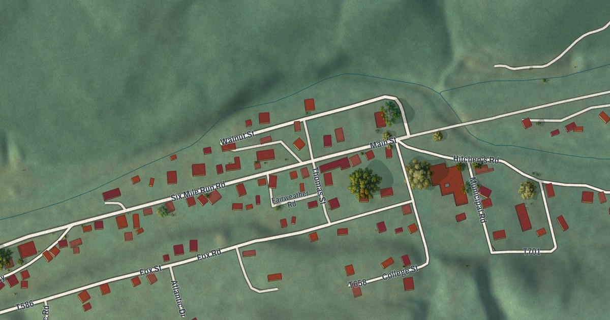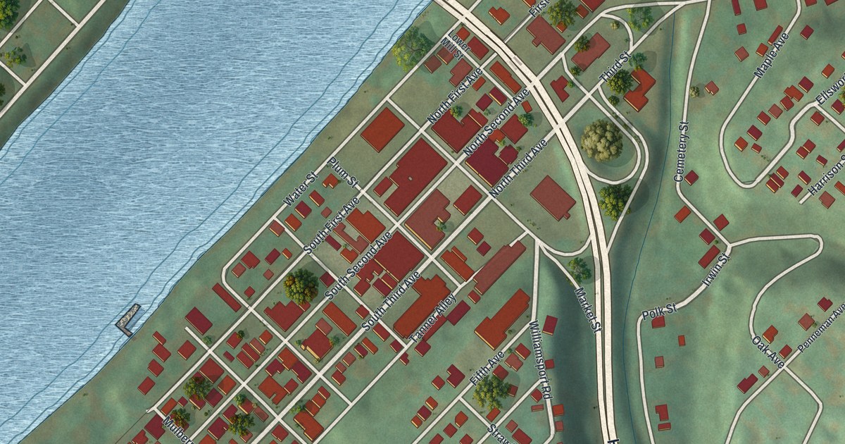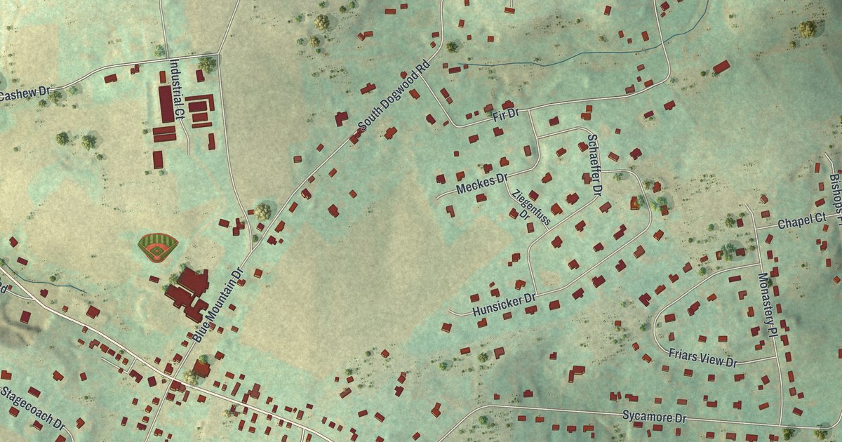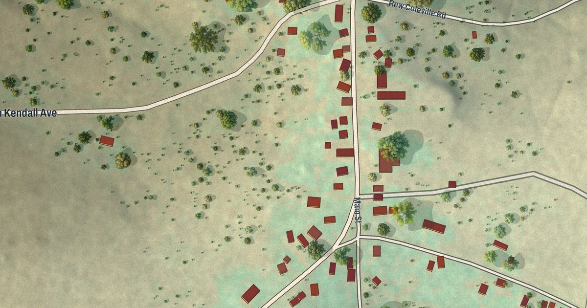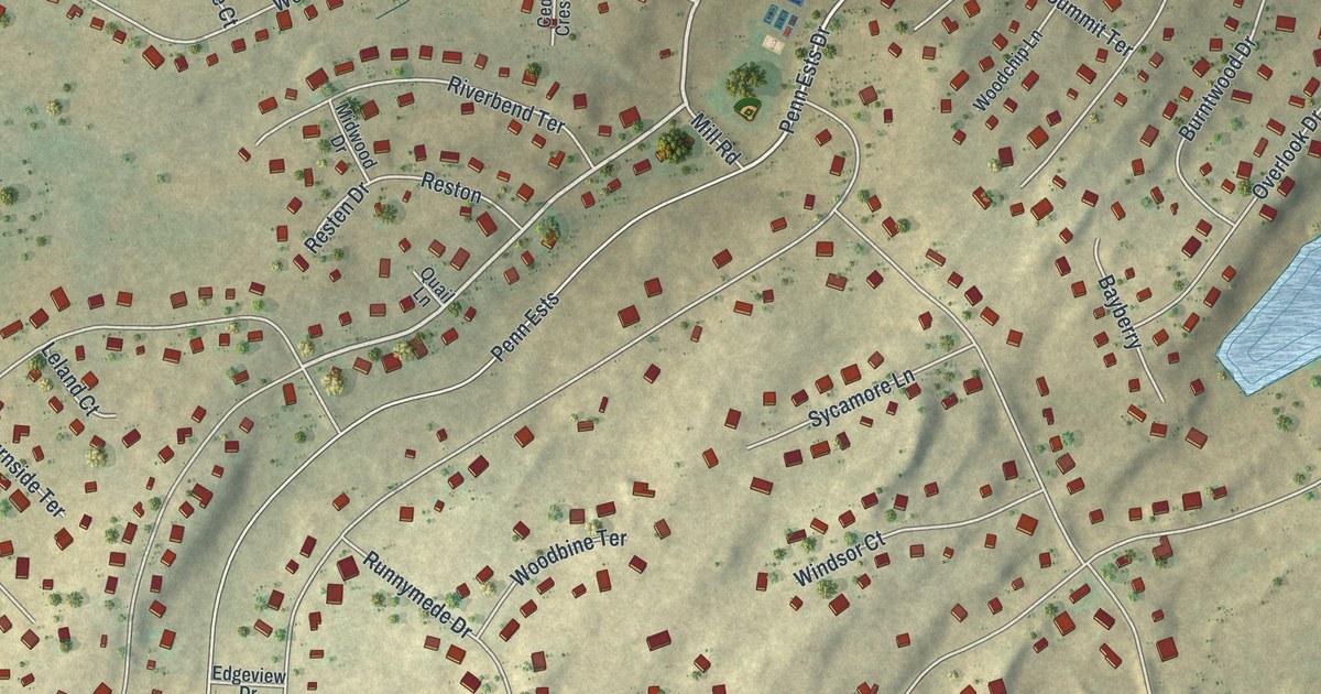
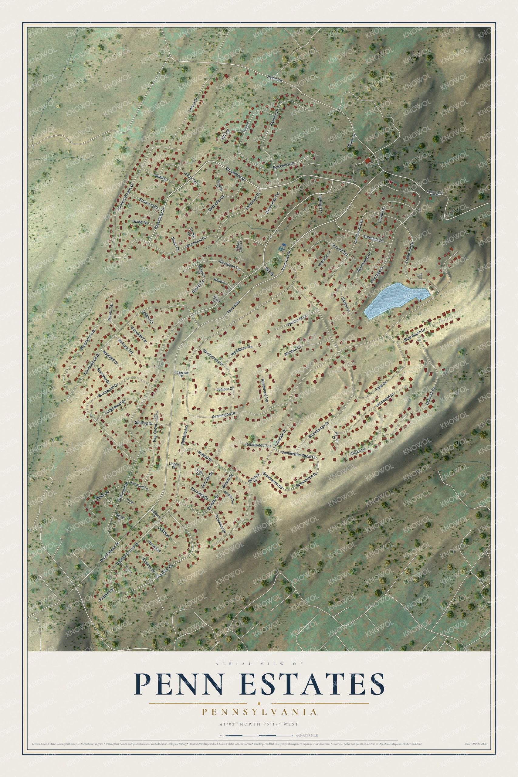
This beautifully detailed map of Penn Estates, Pennsylvania was created in 2026 using aerial imagery combined with modern topographical, census, street and landmark data. It's a modern aerial view of Penn Estates in Monroe County, Pennsylvania, that combines modern data with a vintage aesthetic. The roads feature printed names, and if you look closely you can find your exact house accurately shown in its correct location.
Explore an aerial view of Penn Estates, Pennsylvania
On this map you'll find Greenbrier Drive, Greenbriar Drive, Somerset Drive, Penn Ests Drive, Deerfield Circle, Summerton Circle, Summerton Circle Drive, Summerton Drive, Penn Estates Drive, Penn Ests, Lakeside Drive, Kensington Drive, and more. Each red shape is a building, so zoom in on the preview and look for yours.
Penn Estates is a community in Monroe County. The Census Bureau counted 4,546 people here in 2020. Penn Estates sits about 3 miles northwest of Arlington Heights, 4 miles northwest of East Stroudsburg and 4 miles northwest of Stroudsburg. The map prints the town name in its title panel, with the coordinates below it.
Take a closer look at the Penn Estates map
Names on this map
These names are printed on this map.
Streets and roads: Greenbrier Drive, Greenbriar Drive, Somerset Drive, Penn Ests Drive, Deerfield Circle, Summerton Circle, Summerton Circle Drive, Summerton Drive, Penn Estates Drive, Penn Ests, Lakeside Drive, Kensington Drive.
More street names, A to Z
Academy Drive, Ash Terrace, Ashwood Lane, Bayberry, Belaire Drive, Bellaire Drive, Berwood, Blue Beech Drive, Brentwood Drive, Burnside Terrace, Burntwood Drive, Candlewood Drive, Cedar Crest Court, Chalet Court, Clicko Lane, Clover Lane, Cranberry Court, Crestwood Drive, Deborah Drive, Deerfield Circle Drive, Delia Terrace, Dellwood Court, Diane Court, Edgeview Drive, Elmwood Drive, Exter Terrace, Fairfax Terrace, Fairway Terrace, Fernwood Drive, Foxdale Terrace, Garden Terrace, Glade Terrace, Glenwood Drive, Hallet Road, Harmony Drive, Haven Terrace, Hunters Woods Drive, Hyland Drive, Jennifer Drive, Julian Terrace, Juniper Court, Kenwood Terrace, Lake Drive, Lansdale Drive, Laurel Drive, Ledgewood Drive, Leland Court, Linden Drive, Locust Drive, Lower Cherry Lane Road, Marcel Court, Mayfield Court, Melrose Terrace, Mercedes Court, Midwood Drive, Mill Road, Norwood Drive, Oakland, Overlook Drive, Pasquin Drive, Pine Grove, Pine Grove Terrace, Quail Lane, Resten Drive, Reston, Riverbend Terrace, Robinwood Terrace, Rosewood Terrace, Runnymede Drive, Sandlewood Drive, Spacebush Drive, Spicebush Drive, Starview Drive, Sterling Drive, Stonehenge Drive, Summit Terrace, Sunbury Drive, Sundew Drive, Sycamore Lane, Warren Court, Willowicke Terrace, Willow Terrace, Windsor Court, Winona Terrace, Woodacre's Drive, Woodbine Terrace, Woodchip Lane, Woodland Drive.
See it on a wall
The Penn Estates map as a framed print. Swipe for more.


Created by KNOWOL in 2026. The buildings are small red shapes, the roads carry their printed names, and shaded relief shows the shape of the land. The title panel reads "AERIAL VIEW OF PENN ESTATES, PENNSYLVANIA" with 41°02' NORTH 75°14' WEST.
It looks right in a kitchen, an office or a den, and it's a gift for anyone who grew up in Penn Estates or moved away. Open the preview and find your street. See sizes and frames for the Penn Estates map.