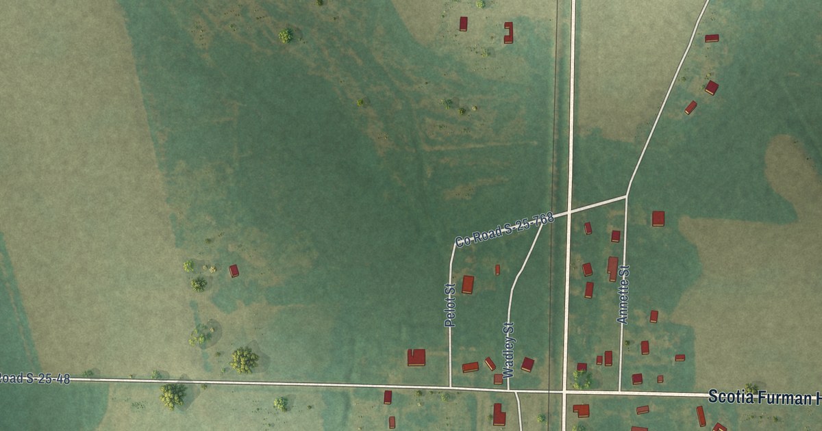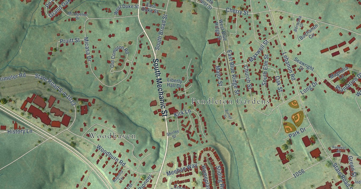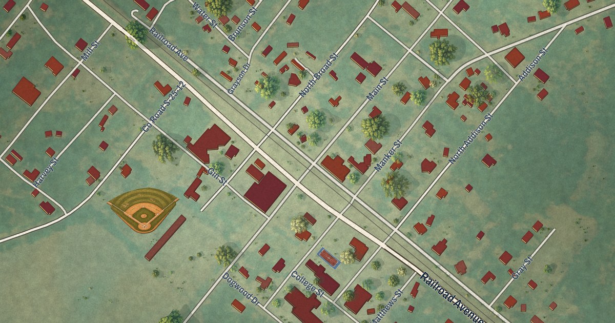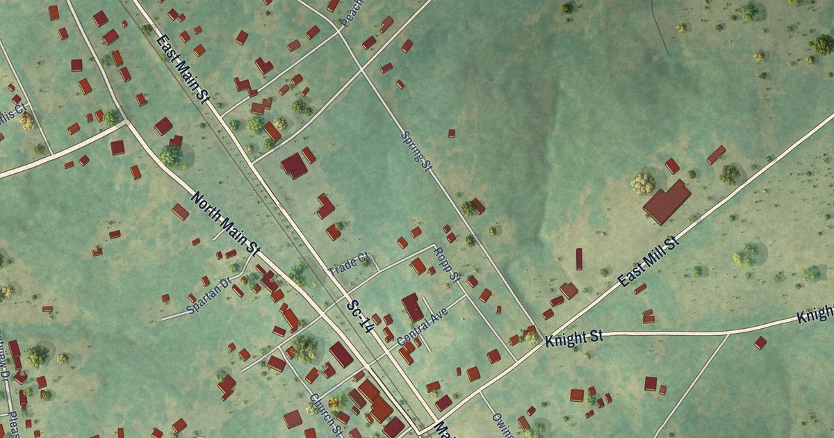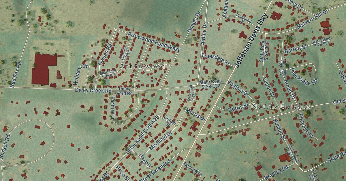
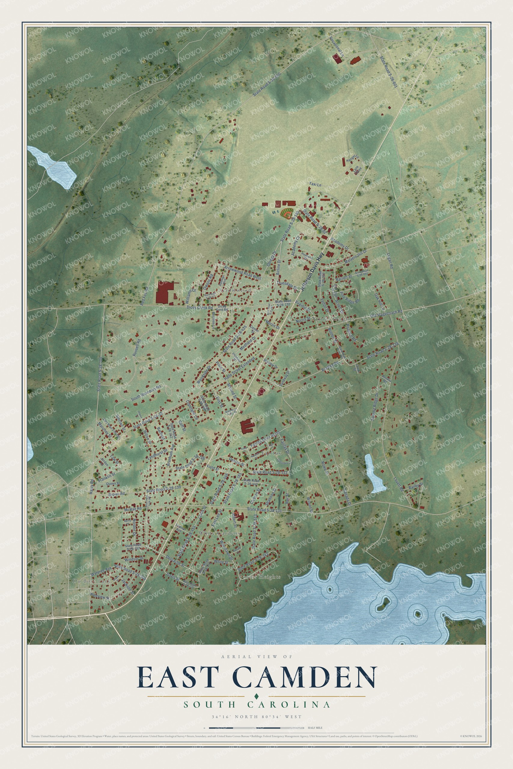
This beautifully detailed map of East Camden, South Carolina was created in 2026 using aerial imagery combined with modern topographical, census, street and landmark data. It's a modern aerial view of East Camden in Kershaw County, South Carolina, that combines modern data with a vintage aesthetic. The roads feature printed names, and if you look closely you can find your exact house accurately shown in its correct location.
Explore an aerial view of East Camden, South Carolina
On this map you'll find Du Bose Park, Forest Heights, Norris Heights, Fairfax, Arrowwood, White Gardens, Jefferson Davis Highway, State Road S-28-185, East Lee Street, Deloache Street, Owens Road, McRae Road, and more. Each red shape is a building, so zoom in on the preview and look for yours.
East Camden is a community in Kershaw County. The Census Bureau counted 3,215 people here in 2020. East Camden sits about 8 miles northeast of Lugoff, 11 miles north of Boykin and 12 miles north of Rembert. The map prints the town name in its title panel, with the coordinates below it.
Take a closer look at the East Camden map
Names on this map
These names are printed on this map.
Places: Du Bose Park, Forest Heights, Norris Heights, Fairfax, Arrowwood and White Gardens.
Streets and roads: Jefferson Davis Highway, State Road S-28-185, East Lee Street, Deloache Street, Owens Road, McRae Road, State Road S-28-131, Red Fox Road, State Road S-28-600, State Road S-28-15, Logan Road, Hasty Road.
More street names, A to Z
Academy Court, Academy Drive, Airline Drive, Albert Street, Arnett Drive, Arrowwood Road West, Bailey Street, Barfield, Barrett Street, Bateman Boulevard, Benttree Lane, Berry Lane, Bolden Street, Booker Road, Bradley Road, Branham Avenue, Brown Road, Brown Street, Canada Drive, Canterbury Court, Center Street, Chance Lane, Clyburn Street, Copeland Circle, Cross Street, Davis Street, Denton Street, Dicey Creek Road, Dicey Ford Road, Elizabeth Street, Fairfax Drive, Fairfax Drive North, Field Street, First Street, Franklin Street, Goff Street, Haile Street Extended, Hanger Lane, Hatfield Drive, Hilton Street, Jackson Street, Jordon Lane, Kent Place, Lane Three, Law Street, Lewis Street, Lovett Road, Lyndhurst Drive, Malvern Hill Drive, Maroney Street, Medfield Drive, Morris Drive, Norden Drive, Norris Street, Oak Hill Lane, Old Stagecoach Road, Omega Drive, Pinehurst Drive, Pine Ridge Road, Pineview Street, Poachill Road, Price Street, Queen Street, Ray Street, Rowe Street, Russell Road, Sandway Drive, Second Street, Shannon Street, Sinclair Street, Skyview Drive, South Boundary Road, State Road S-28-52, State Road S-28-100, State Road S-28-132, State Road S-28-139, State Road S-28-152, State Road S-28-153, State Road S-28-164, State Road S-28-165, State Road S-28-170, State Road S-28-172, State Road S-28-173, State Road S-28-291, State Road S-28-304, State Road S-28-332, State Road S-28-333, State Road S-28-338, State Road S-28-342, State Road S-28-387, State Road S-28-425, State Road S-28-440, State Road S-28-446, State Road S-28-454, State Road S-28-512, State Road S-28-513, State Road S-28-601, State Road S-28-602, State Road S-28-671, State Road S-28-709, State Road S-28-745, State Road S-28-746, Summit Ridge Drive, Taxi Lane, Trimnal Avenue, Truesdale Street, Tudor Lane, Virginia Drive, Vocational Lane, Warwick Street, Wateree Avenue, White Street, Williams Court, Wilson Street, Windsor Drive, Woodlawn Drive, Woodside Drive, Yelton Drive.
See it on a wall
The East Camden map as a framed print. Swipe for more.


Created by KNOWOL in 2026. The buildings are small red shapes, the roads carry their printed names, and shaded relief shows the shape of the land. The title panel reads "AERIAL VIEW OF EAST CAMDEN, SOUTH CAROLINA" with 34°16' NORTH 80°34' WEST.
It suits a den, a classroom or a front hall, and it makes a gift for anyone with East Camden roots. Open the preview and find the block you know. See sizes and frames for the East Camden map.