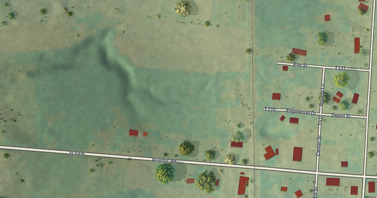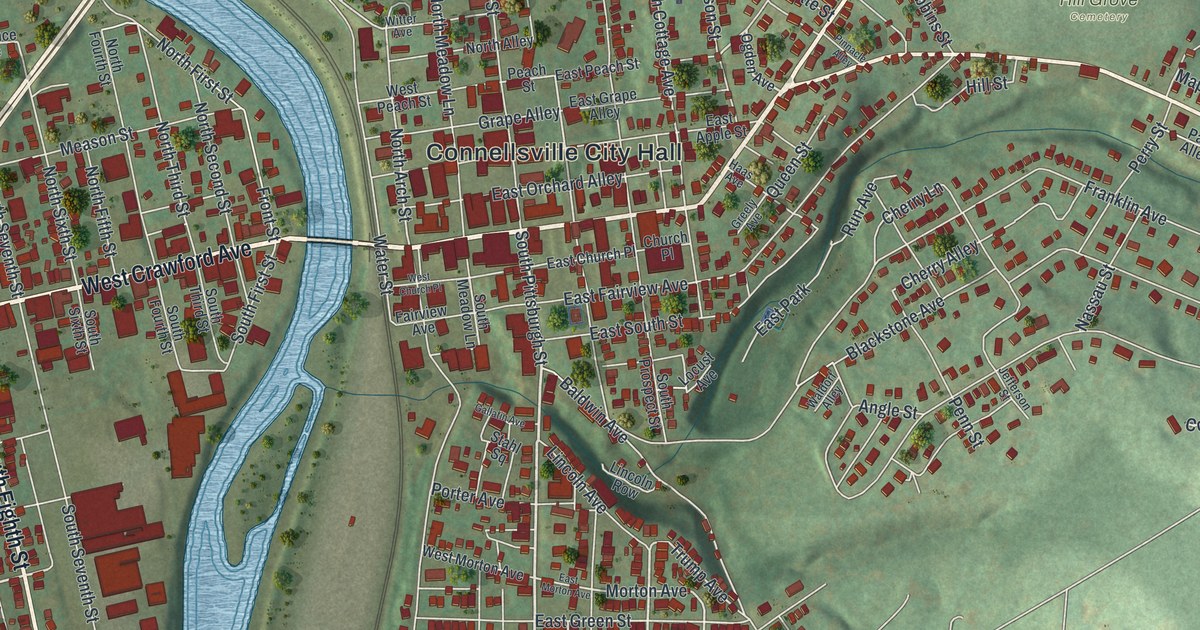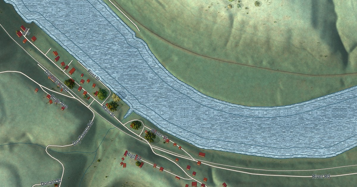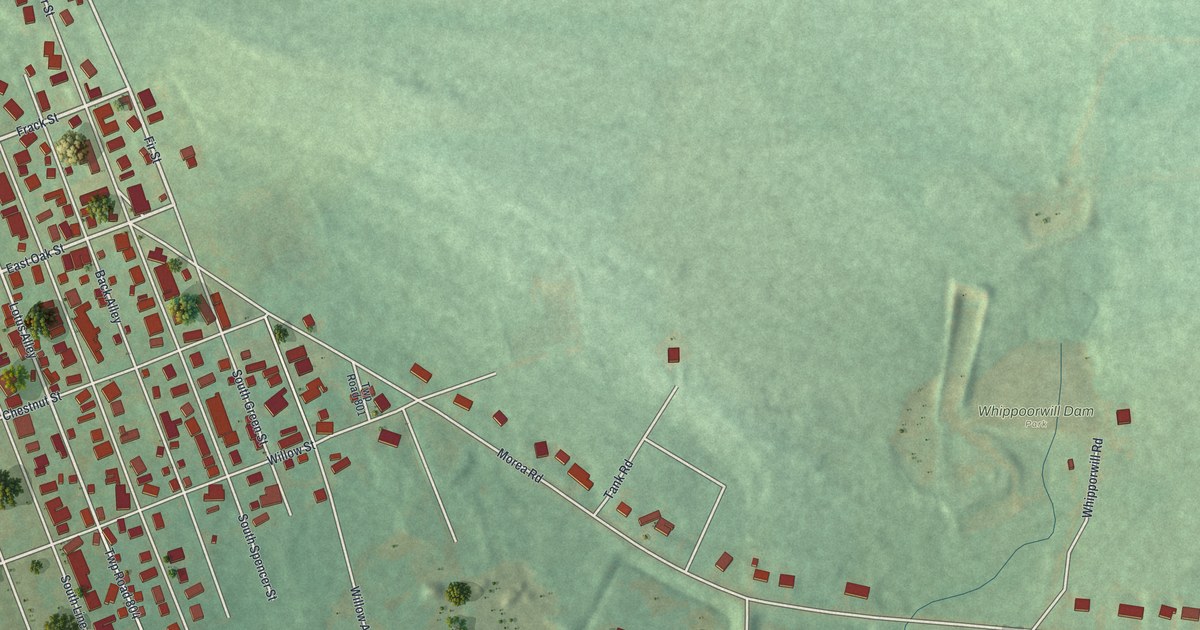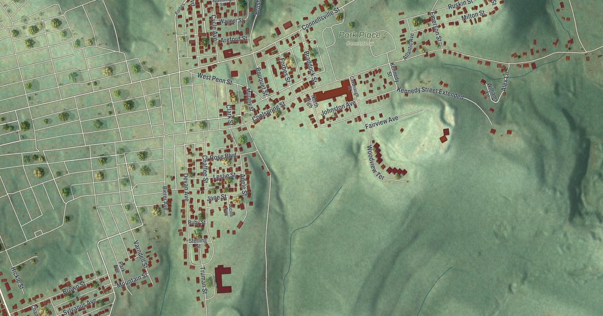
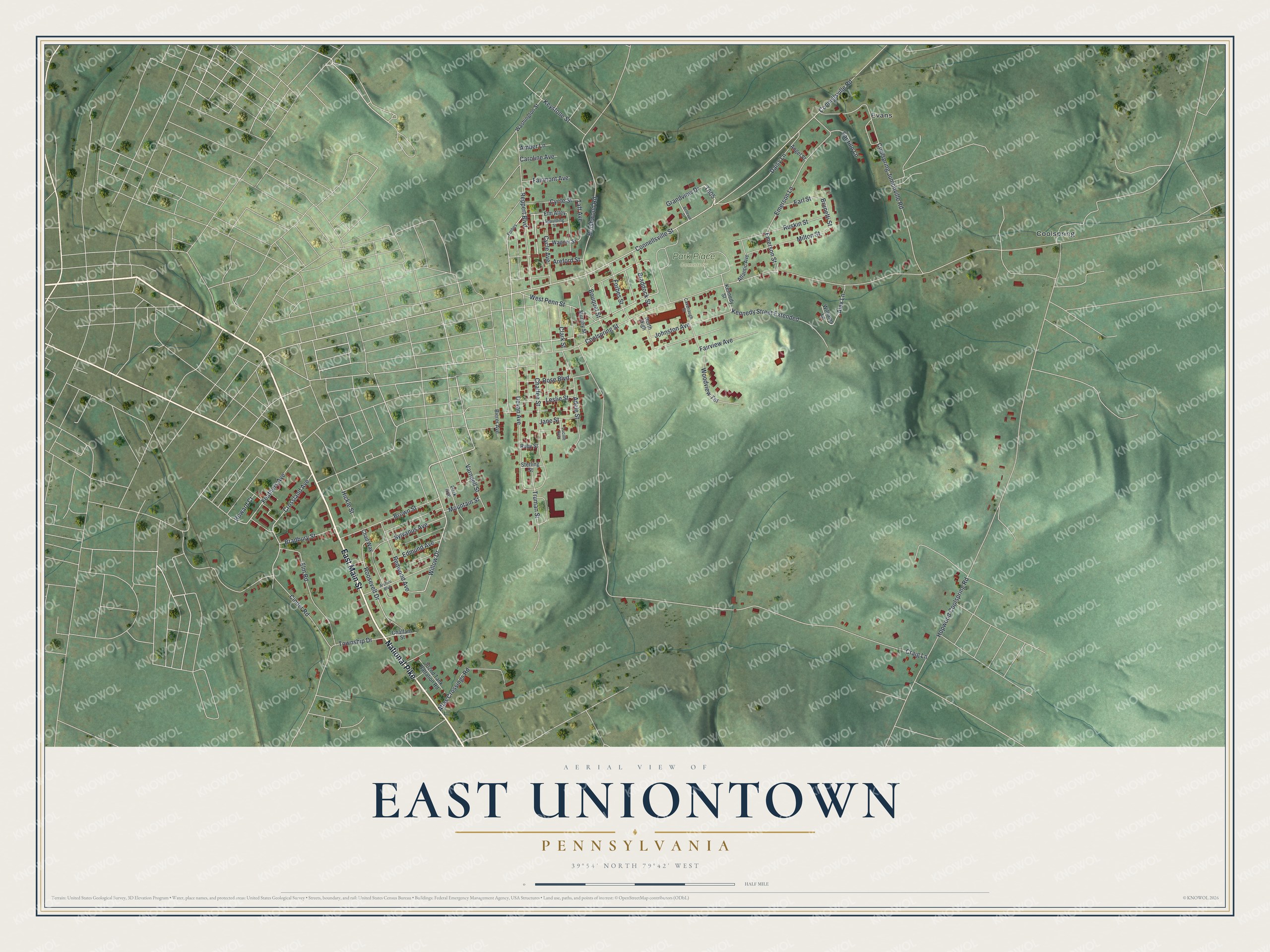
This beautifully detailed map of East Uniontown, Pennsylvania was created in 2026 using aerial imagery combined with modern topographical, census, street and landmark data. It's a modern aerial view of East Uniontown in Fayette County, Pennsylvania, that combines modern data with a vintage aesthetic. The roads feature printed names, and if you look closely you can find your exact house accurately shown in its correct location.
Explore an aerial view of East Uniontown, Pennsylvania
On this map you'll find Park Place Cemetery, Coolspring, Evans, East Main Street, National Pike, Mountain Street, Willow Drive, T605, Connellsville Street, Roosevelt Drive, Crossland Avenue, Brunetti Street, and more. Each red shape is a building, so zoom in on the preview and look for yours.
East Uniontown is a community in Fayette County. The Census Bureau counted 2,271 people here in 2020. East Uniontown sits about 2 miles southeast of Oliver, 2 miles southwest of Lemont Furnace and 2 miles northeast of Leith-Hatfield. The map prints the town name in its title panel, with the coordinates below it.
Take a closer look at the East Uniontown map
Names on this map
These names are printed on this map.
Places: Park Place Cemetery, Coolspring and Evans.
Streets and roads: East Main Street, National Pike, Mountain Street, Willow Drive, Connellsville Street, Roosevelt Drive, Crossland Avenue, Brunetti Street, Fairview Avenue, Craig Lane, Hopwood Coolspring Road, Coolspring Street.
More street names, A to Z
702nd Tank Battalion Road, Adele Street, Alex Lane, Amber Lane, Angel Street, Areford Boulevard, Areford Street, Atlantic Avenue, Atlas Crossings Road, Bellevue Drive, Bierer Avenue, Bouquet Street, Bradbury Street, Braddock Street, Brown Street, Brushwood Road, Caroline Avenue, Cavanaugh Street, Chad Way, Chaffee Street, Chalfant Street, Cinder Road, Clark Street, Connellsville Road, Coolspring Jumonville Road, Cycle Avenue, Cycle Street, Daisy Lane, Devan Avenue, Earl Street, Edmund Avenue, Elm Alley, Elm Road, Emerson Lane, Emerson Street, Fairmont Avenue, Feathers Avenue, Forbes, Forbes Street, Grandview Drive, Hickle Street, Howard Court, Jane Street, Johnston Avenue, Kennedy Street, Kennedy Street Extended, Keystone Street, Leslie Street, Lucille Avenue, Milton Street, Murphy Street, North High, Park Avenue, Redwood Avenue, Reppert Boulevard, Rose Boulevard, Ruby Street, Ruskin Street, Santillo Lane, Spaulding Street, Sterling Street, Sylvanus Avenue, Taft Avenue, Township Drive, Truman Street, Varndell Street, Wagner Street, Washington Street, West Penn Street, Williams Lane, Woodview Terrace.
See it on a wall
The East Uniontown map as a framed print. Swipe for more.


Created by KNOWOL in 2026. The buildings are small red shapes, the roads carry their printed names, and shaded relief shows the shape of the land. The title panel reads "AERIAL VIEW OF EAST UNIONTOWN, PENNSYLVANIA" with 39°54' NORTH 79°42' WEST.
It looks right in a kitchen, an office or a den, and it's a gift for anyone who grew up in East Uniontown or moved away. Open the preview and find your street. See sizes and frames for the East Uniontown map.