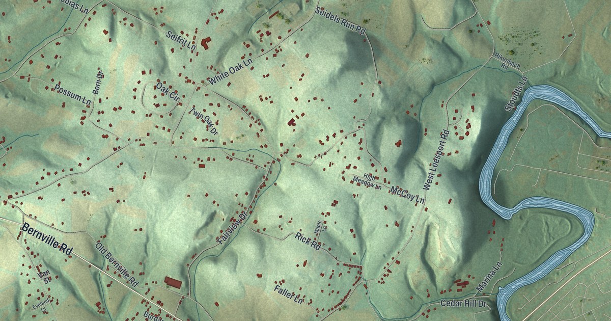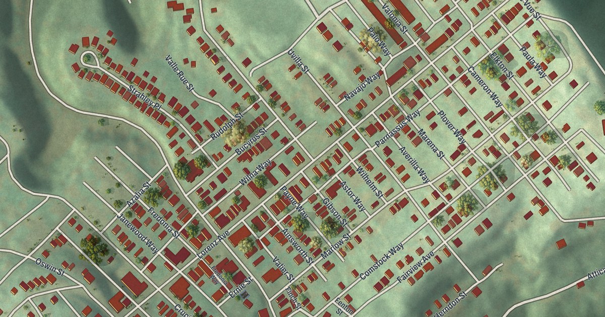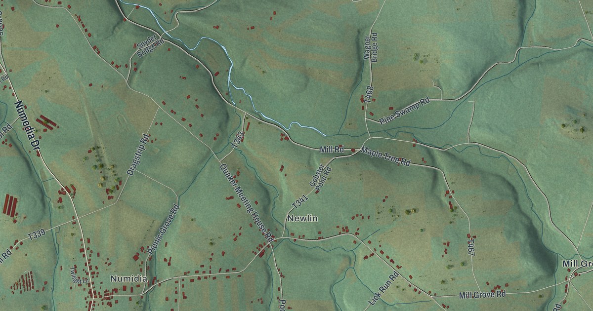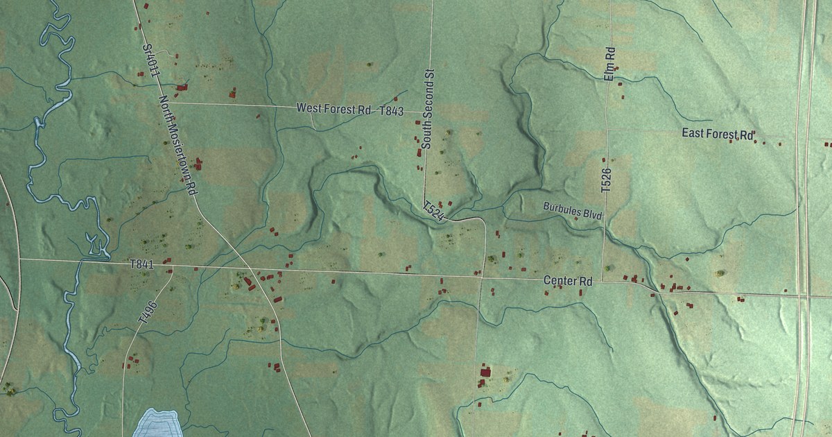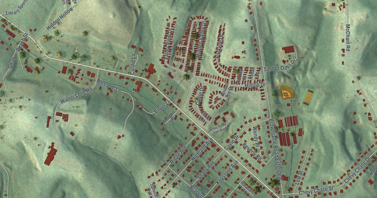
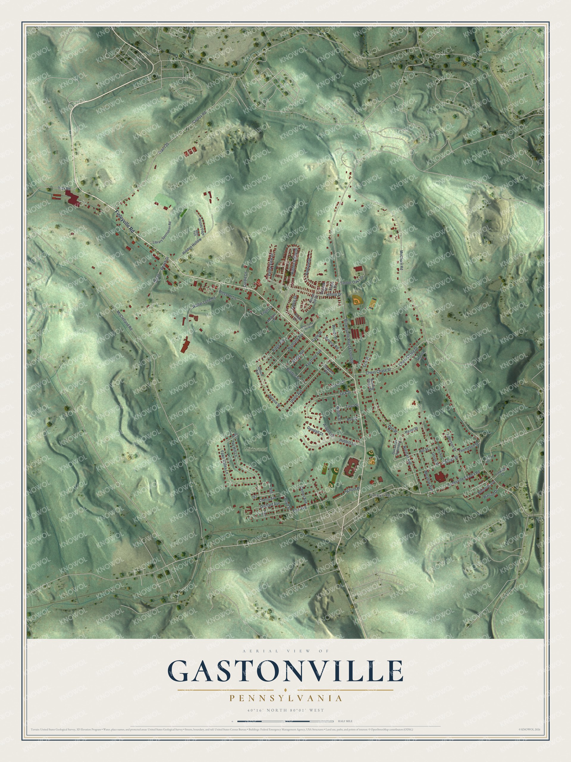
This beautifully detailed map of Gastonville, Pennsylvania was created in 2026 using aerial imagery combined with modern topographical, census, street and landmark data. It's a modern aerial view of Gastonville in Washington County, Pennsylvania, that combines modern data with a vintage aesthetic. The roads feature printed names, and if you look closely you can find your exact house accurately shown in its correct location.
Explore an aerial view of Gastonville, Pennsylvania
On this map you'll find Mirkwood, Finleyville, Finleyville Road, Cherry Avenue, Norman Avenue, School Place, Hidden Valley Drive, Spruce Street, Ivy Hill Lane, Hill Street, Don Street, Boyd Street, and more. Each red shape is a building, so zoom in on the preview and look for yours.
Every town has a first chapter, and Gastonville is no exception. The site of Gastonville was first settled by John Cox, who had the tract patented under the name Belmont. It soon passed to John Gaston, and in 1854 Joseph M. Curry, who owned the land then, laid the village out in lots. A water-powered sawmill and grist mill once ran at Gastonville, and Major J. M. Gaston operated it for some time. That's from the 1910 History of Washington County.
Gastonville is a community in Washington County. The Census Bureau counted 2,554 people here in 2020. Gastonville sits about 4 miles northwest of Bunola, 4 miles southwest of Jefferson Hills and 4 miles south of Bethel Park. The map prints the town name in its title panel, with the coordinates below it.
Take a closer look at the Gastonville map
Names on this map
These names are printed on this map.
Places: Mirkwood and Finleyville.
Streets and roads: Finleyville Road, Cherry Avenue, Norman Avenue, School Place, Hidden Valley Drive, Spruce Street, Ivy Hill Lane, Hill Street, Don Street, Boyd Street, McChain Road, Brownsville Road Extended.
More street names, A to Z
Aragon Place, Beach Street, Belmont Avenue, Beverly Road, Blossom Lane, Bowling Green Street, Braden Street, Cardox Road, Center Avenue, Chevy Chase Drive, Chevy Chase Street, Circle Drive, Circle Lane, College Street, Curdie Lane, Deer Path, Don Street Extended, Dway, Engel Lane, Fawn Valley Lane, Finleyville Elrama Road, Frye Avenue, Gandalf Court, Gary Avenue, Gayle Drive, Hanula Lane, Hazel Street, Hidden Hollow, Highland Avenue, Hilltop Drive, Hobbitt Lane, Jack Street, Jason Drive, Jefferson Street, Kelly Lane, Keystone Avenue, Lew Street, Library Sportsman Road, Linwood Lane, McClelland Road, Meadow Avenue, Morgan Lane, Orchard Avenue, Parkvue Drive, Pleasant Street, Ridge Avenue, Rodao Drive, Ross Street, Round Top Drive, Roy Street, Shady Avenue, Shorttop Street, Spruce Avenue, Stone Church Road, Thompson Street, Timber Oaks Drive, Trail 735, Trax Road, Treva Street, Union Avenue, Union Street, Union Valley Apts Way, Valley View Drive, Walter Long Road, Watson Drive, Wendy Place, Willow Street, Woods Edge.
See it on a wall
The Gastonville map as a framed print. Swipe for more.


Created by KNOWOL in 2026. The buildings are small red shapes, the roads carry their printed names, and shaded relief shows the shape of the land. The title panel reads "AERIAL VIEW OF GASTONVILLE, PENNSYLVANIA" with 40°16' NORTH 80°01' WEST.
Hang it in the hallway, the office or the cabin, or give it to someone who left Gastonville and still calls it home. Open the preview and look for a street you know. See sizes and frames for the Gastonville map.