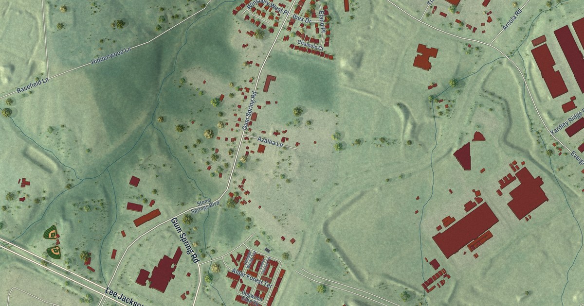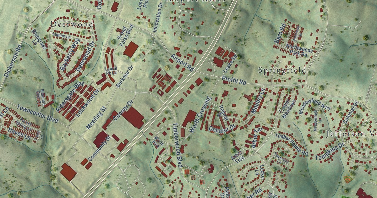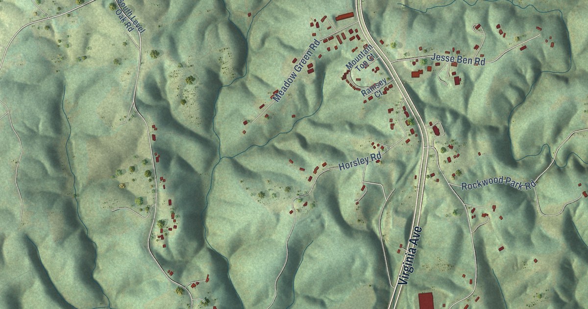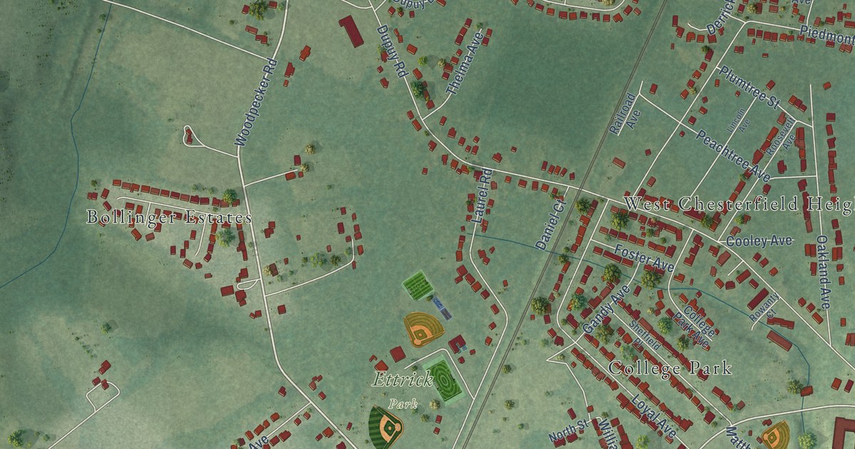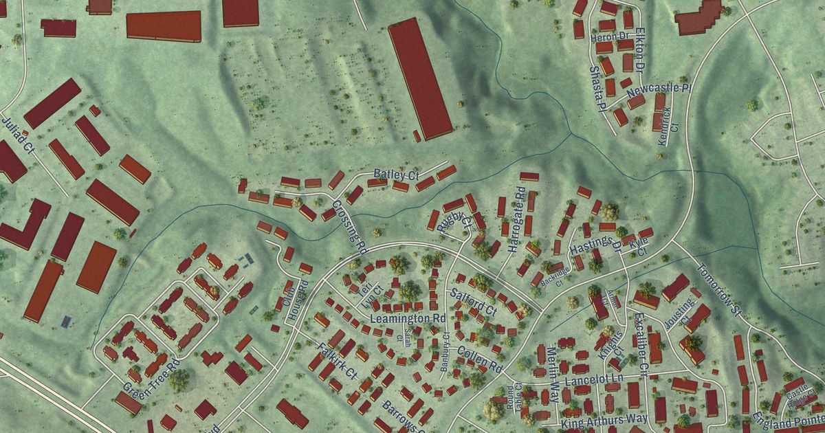
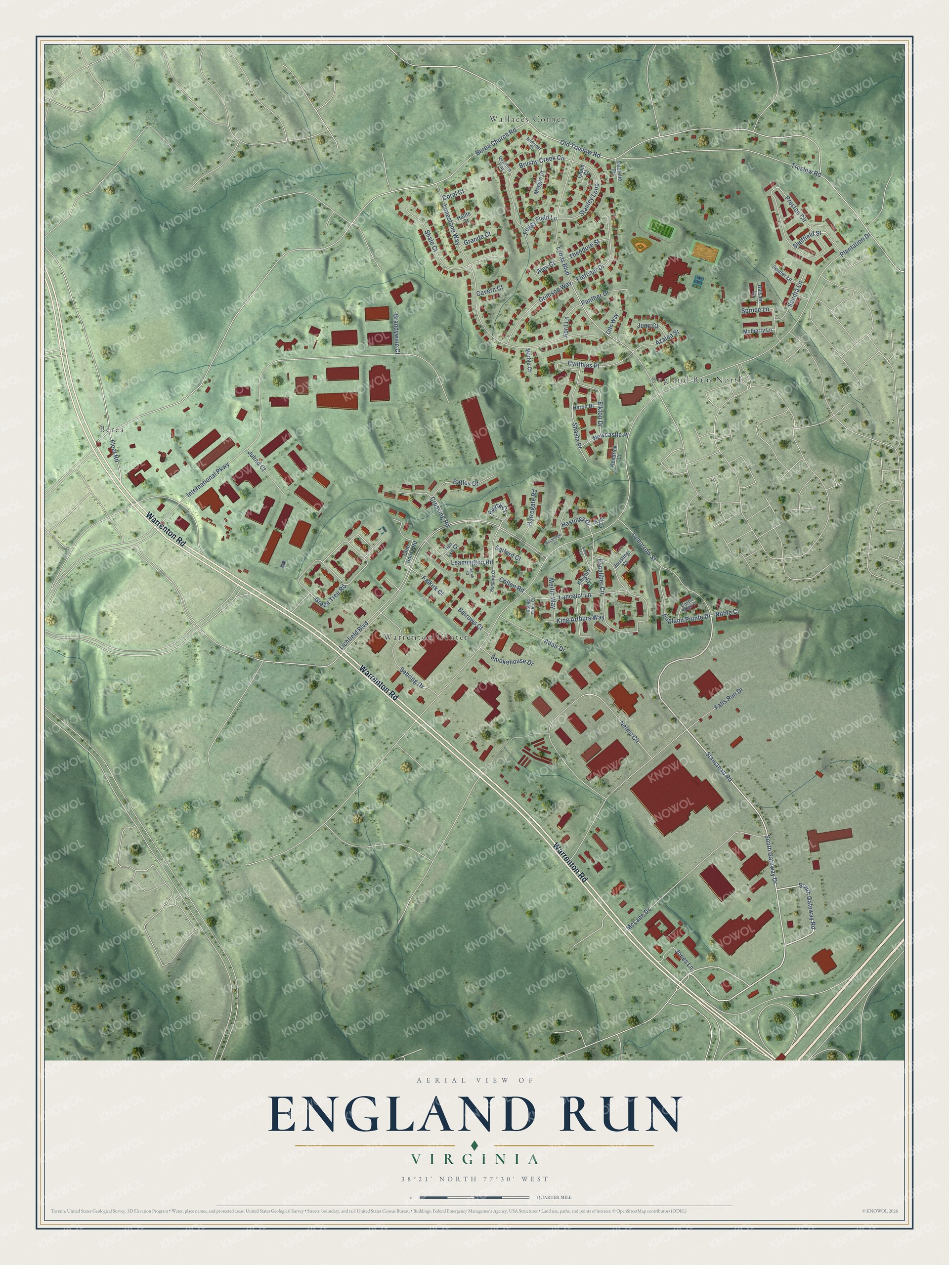
This beautifully detailed map of England Run, Virginia was created in 2026 using aerial imagery combined with modern topographical, census, street and landmark data. It's a modern aerial view of England Run in Stafford County, Virginia, that combines modern data with a vintage aesthetic. The roads feature printed names, and if you look closely you can find your exact house accurately shown in its correct location.
Explore an aerial view of England Run, Virginia
On this map you'll find England Run North, Berea, Wallaces Corner, Warrenton Center, Warrenton Road, South Gateway Drive, Stanstead Road, South Gateway Road, Green Tree Road, Plantation Drive, Old Truslow Road, Lichfield Boulevard, and more. Each red shape is a building, so zoom in on the preview and look for yours.
England Run is a community in Stafford County. England Run sits about 2 miles east of Stafford Lakes Village, 3 miles northwest of Falmouth and 4 miles west of Leeland Station. The map prints the town name in its title panel, with the coordinates below it.
Take a closer look at the England Run map
Names on this map
These names are printed on this map.
Places: England Run North, Berea, Wallaces Corner and Warrenton Center.
Streets and roads: Warrenton Road, South Gateway Drive, Stanstead Road, South Gateway Road, Green Tree Road, Plantation Drive, Old Truslow Road, Lichfield Boulevard, International Parkway, Berea Church Road, Lyons Boulevard, Limestone Way.
More street names, A to Z
Adair Drive, Alex Court, April Lane, Armor Court, Azalea Street, Backridge Court, Balsam Lane, Banbury Court, Barrows Court, Batley Court, Brandywine Court, Brushy Creek Circle, Castle Ridge Court, Cavern Court, Chain Court, Club House Road, Collen Road, Coral Court, Crimson Way, Crossing Road, Cynthias Place, Elkton Drive, Ellerslie Road, England Pointe Drive, Excaliber Circle, Falkirk Court, Falls Run Drive, Fleet Road, Fletcher Drive, Foggy Field Lane, Fowler Lane, Granite Court, Halite Court, Harrogate Road, Hastings Drive, Heron Drive, Jones Lane, Jousting Court, Juliad Court, June Court, Kendrick Court, King Arthurs Way, Knights Court, Kyle Court, Lancelot Lane, Leamington Road, Maggie Court, Marble Court, McLane Drive, Merlin Way, Minniear Court, Mulberry Lane, Nelms Circle, Newcastle Place, Noble Court, Otto Way, Panther Drive, Preston Circle, Quantum Way, Round Table Court, Rugby Court, Salford Court, Sarah Court, Sebring Drive, Shale Court, Shasta Place, Sheffield Street, Smokehouse Drive, Sondra Lane, Spruce Lane, Stanley Loop, Teri Lyn Court, Theodore Street, Tomorrow Street, Truslow Road.
See it on a wall
The England Run map as a framed print. Swipe for more.


Created by KNOWOL in 2026. The buildings are small red shapes, the roads carry their printed names, and shaded relief shows the shape of the land. The title panel reads "AERIAL VIEW OF ENGLAND RUN, VIRGINIA" with 38°21' NORTH 77°30' WEST.
Hang it in the hallway, the office or the cabin, or give it to someone who left England Run and still calls it home. Open the preview and look for a street you know. See sizes and frames for the England Run map.