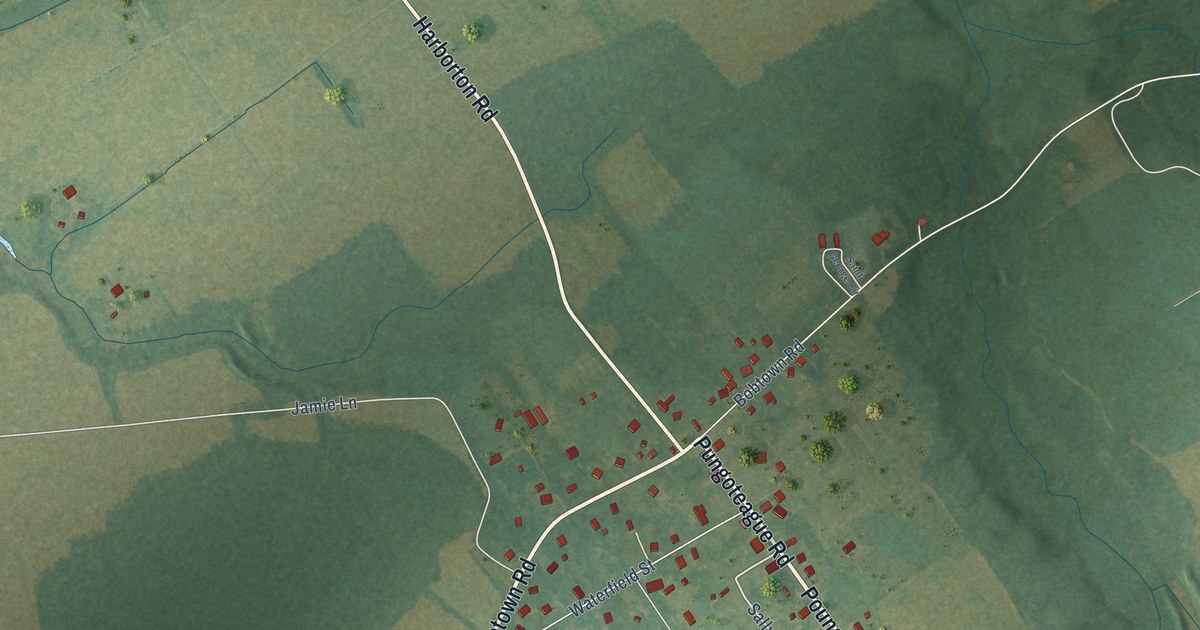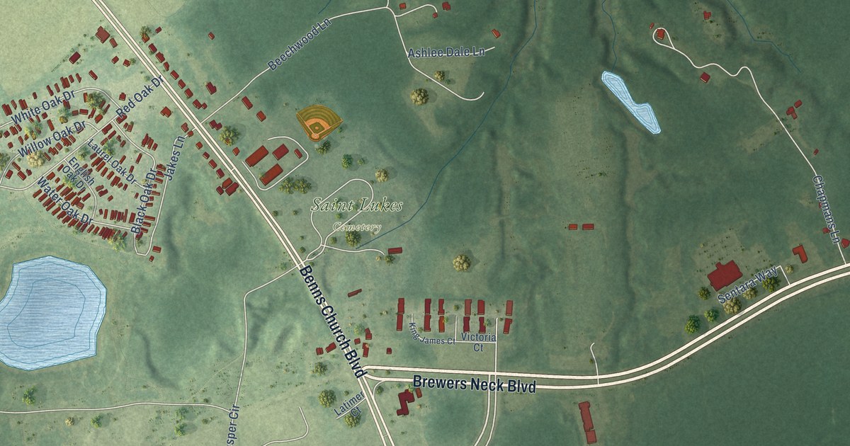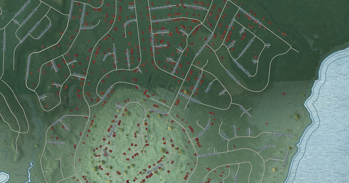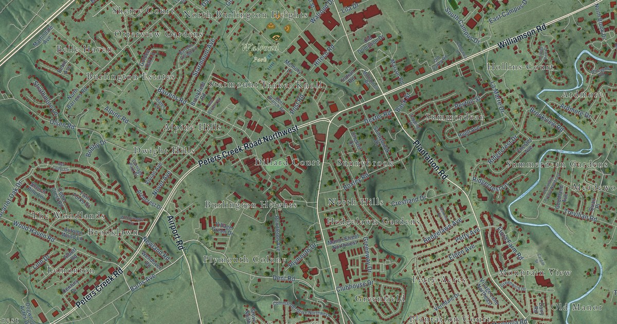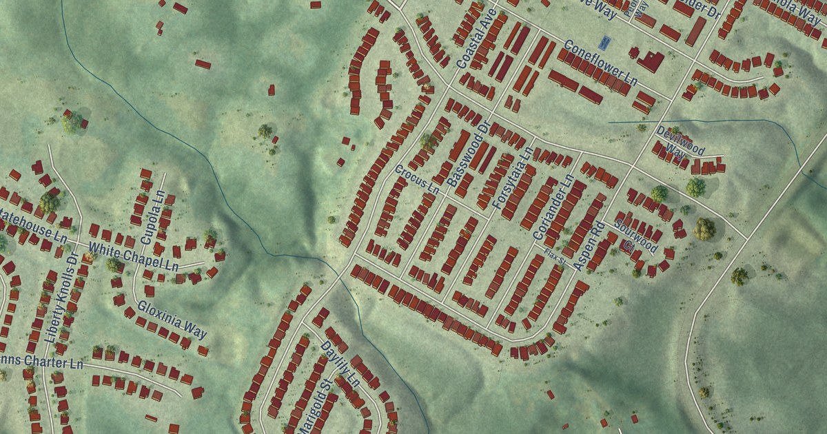
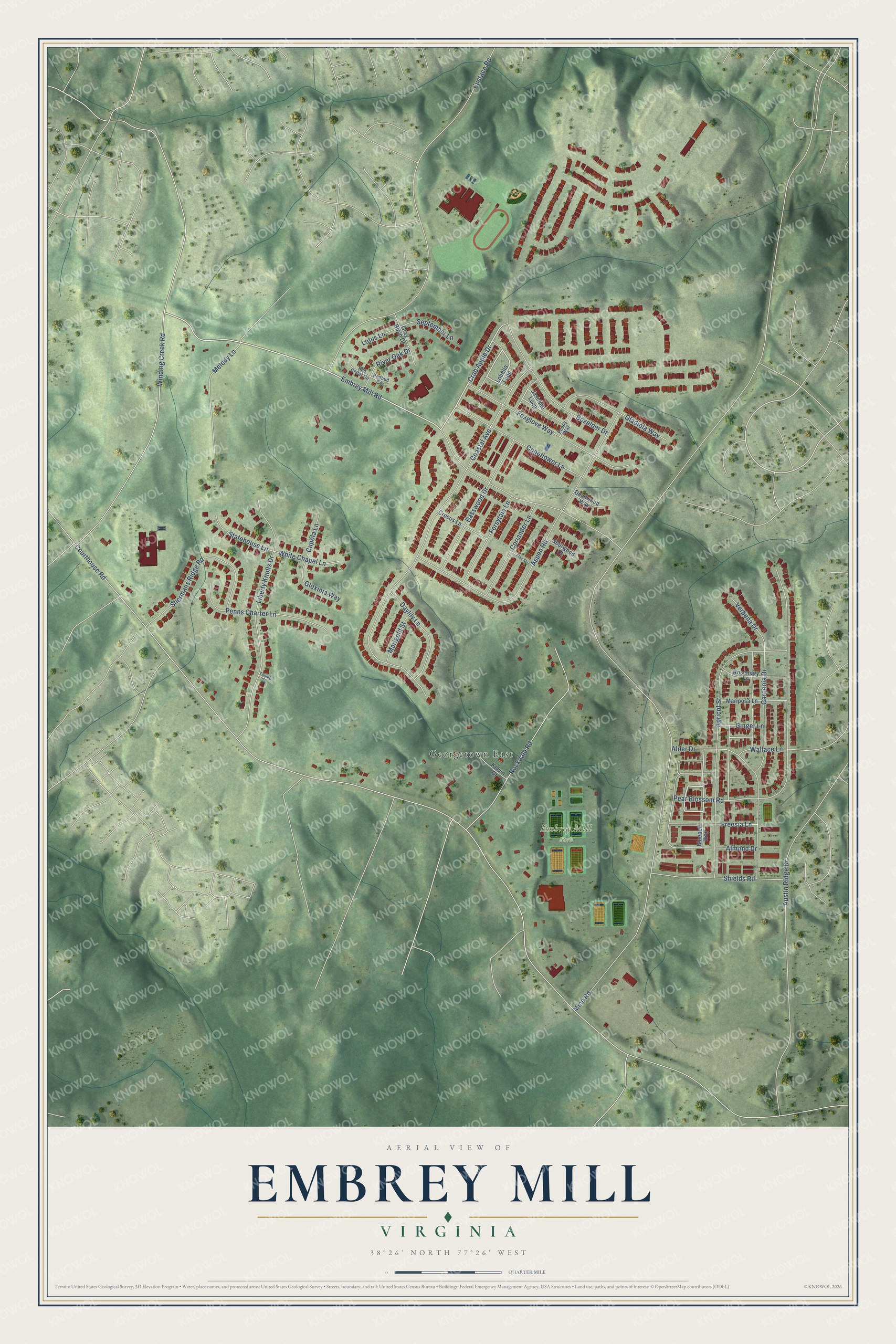
This beautifully detailed map of Embrey Mill, Virginia was created in 2026 using aerial imagery combined with modern topographical, census, street and landmark data. It's a modern aerial view of Embrey Mill in Stafford County, Virginia, that combines modern data with a vintage aesthetic. The roads feature printed names, and if you look closely you can find your exact house accurately shown in its correct location.
Explore an aerial view of Embrey Mill, Virginia
On this map you'll find Embrey Mill Park, Georgetown East, Crab Apple Drive, Courthouse Road, Mine Road, Embrey Mill Road, Coastal Avenue, Eustace Road, Pear Blossom Road, Aspen Road, Apricot Street, Austin Ridge Drive, and more. Each red shape is a building, so zoom in on the preview and look for yours.
Embrey Mill is a community in Stafford County. Embrey Mill sits about 2 miles southeast of Park Ridge, 2 miles northeast of Colonial Forge and 2 miles northwest of Courthouse Square. The map prints the town name in its title panel, with the coordinates below it.
Take a closer look at the Embrey Mill map
Names on this map
These names are printed on this map.
Places: Embrey Mill Park and Georgetown East.
Streets and roads: Crab Apple Drive, Courthouse Road, Mine Road, Embrey Mill Road, Coastal Avenue, Eustace Road, Pear Blossom Road, Aspen Road, Apricot Street, Austin Ridge Drive, Winding Creek Road, Liberty Knolls Drive.
More street names, A to Z
Alder Drive, Almond Drive, Basswood Drive, Bluebell Way, Boxelder Drive, Coneflower Lane, Coriander Lane, Crocus Lane, Cupola Lane, Daylily Lane, Devilwood Way, Flax Street, Forsytaia Lane, Foxglove Way, Freesia Lane, Gardenia Drive, Ginger Lane, Gladiola Way, Gloxinia Way, Gray Birch Drive, Jasmine Loop, Kelvin Drive, Lobelia Loop, Lotus Lane, Marigold Street, Mariposa Lane, Melody Lane, Penns Charter Lane, Peony Way, Redbud Circle, Red Cedar Circle, River Oak Drive, Rockdale Road, Rosemary Lane, September Lane, Shermans Ridge Road, Shields Road, Sourwood Court, Statehouse Lane, Tolling Drive, Verbena Drive, Wallace Lane, White Chapel Lane.
See it on a wall
The Embrey Mill map as a framed print. Swipe for more.


Created by KNOWOL in 2026. The buildings are small red shapes, the roads carry their printed names, and shaded relief shows the shape of the land. The title panel reads "AERIAL VIEW OF EMBREY MILL, VIRGINIA" with 38°26' NORTH 77°26' WEST.
It suits a den, a classroom or a front hall, and it makes a gift for anyone with Embrey Mill roots. Open the preview and find the block you know. See sizes and frames for the Embrey Mill map.