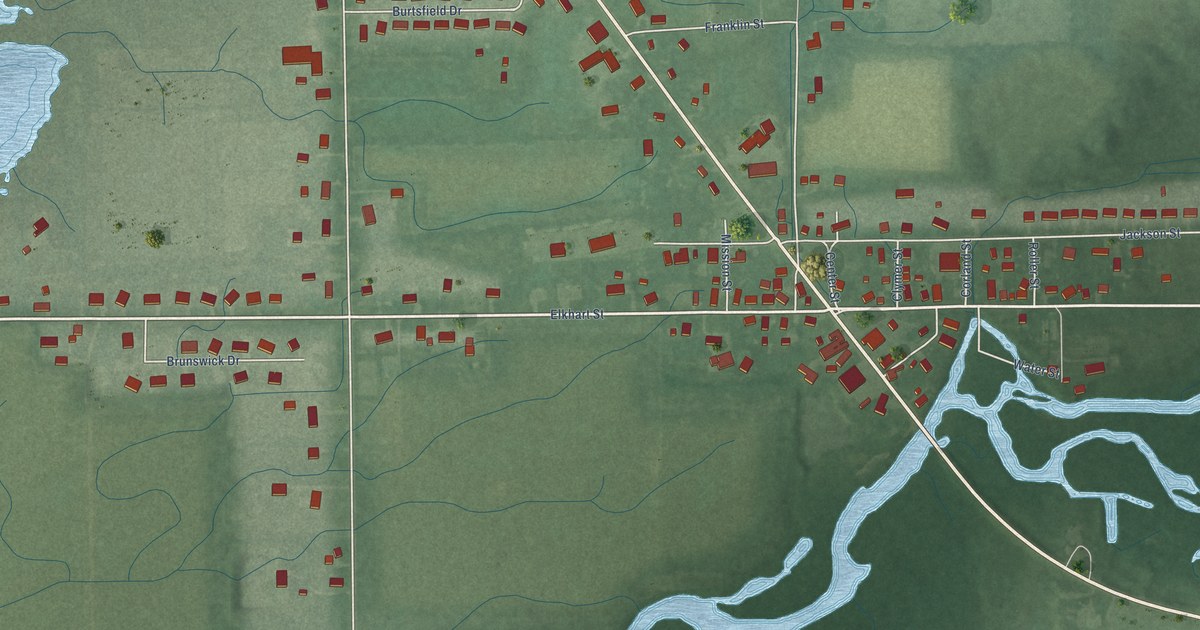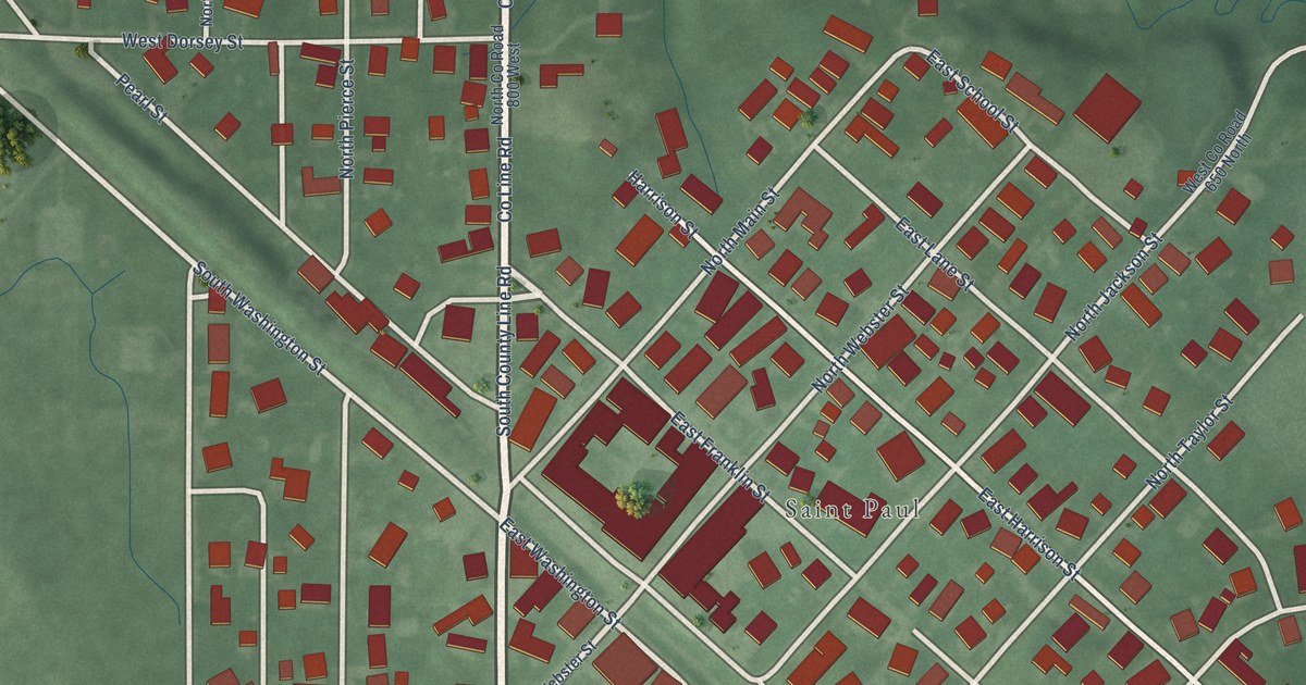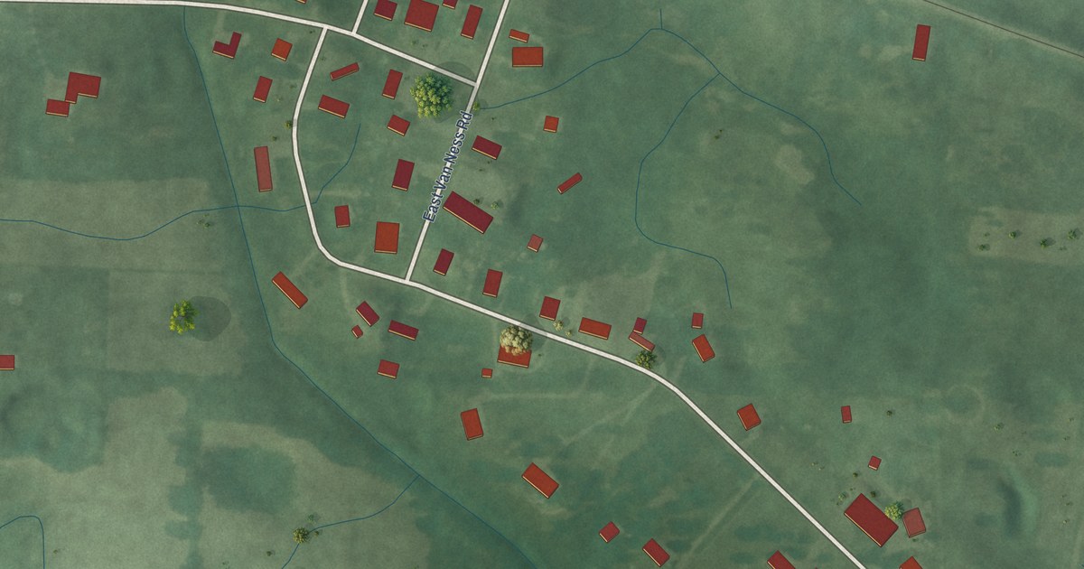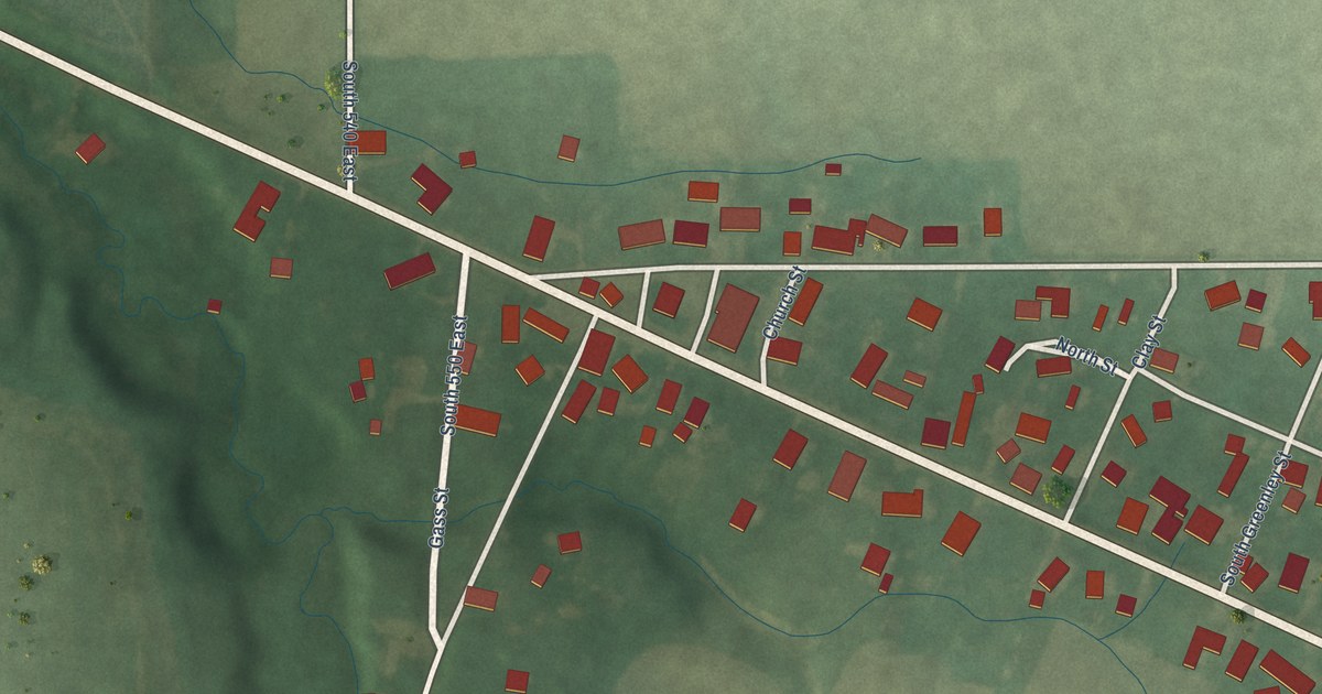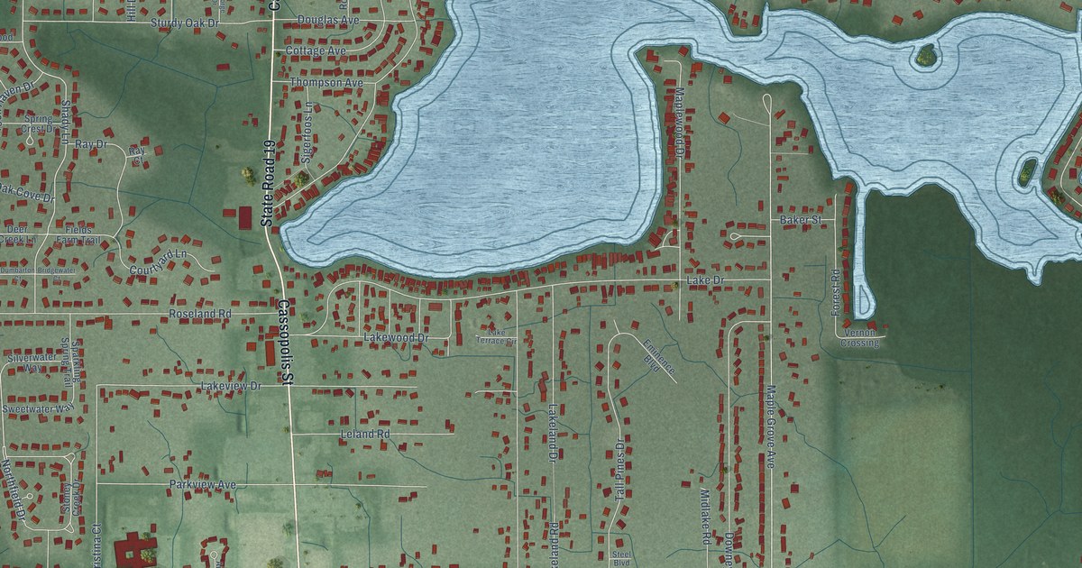
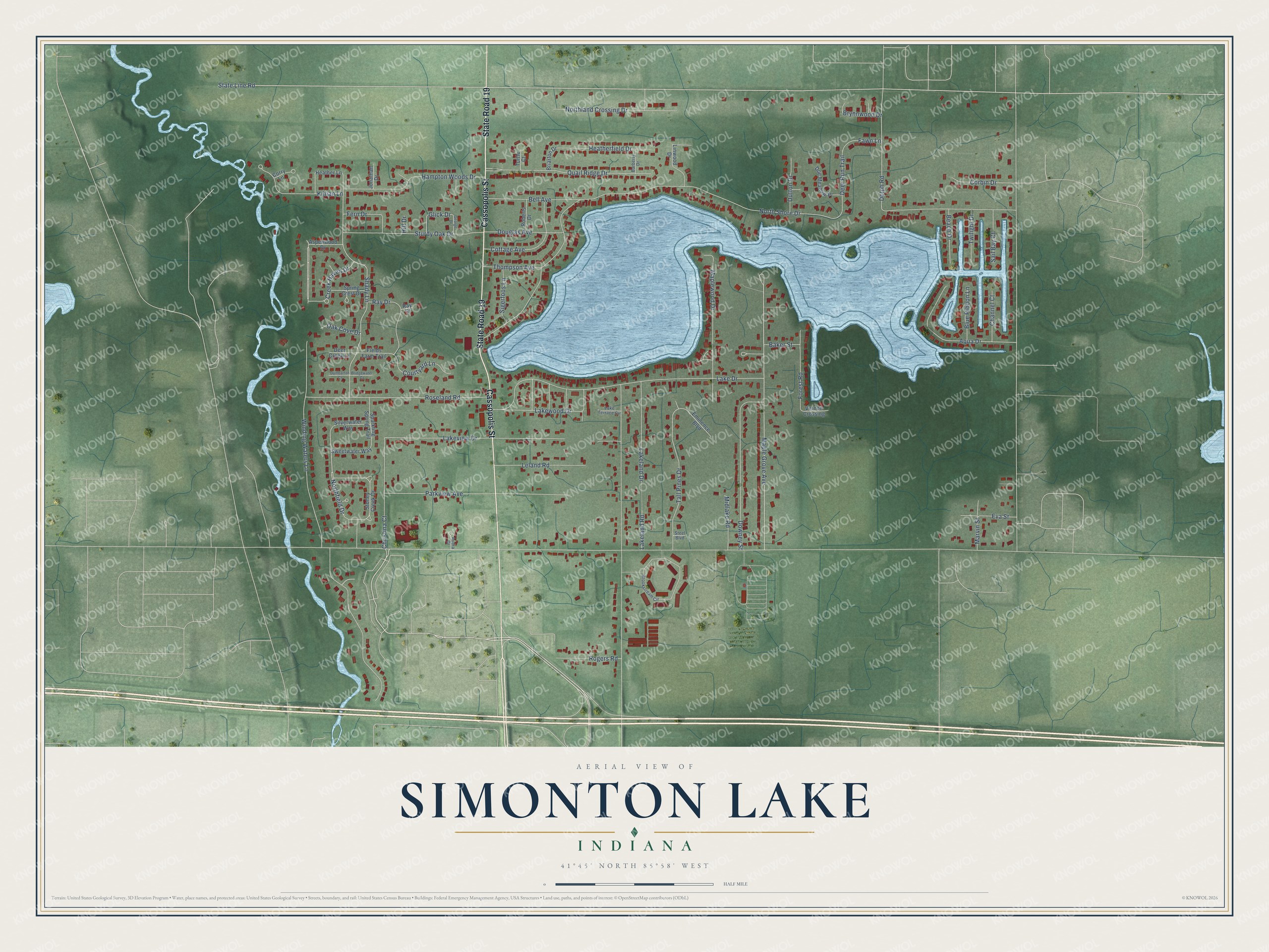
This beautifully detailed map of Simonton Lake, Indiana was created in 2026 using aerial imagery combined with modern topographical, census, street and landmark data. It’s a one-of-a-kind view of Simonton Lake that combines accurate data with a vintage aesthetic. The map shows every building in its true location, many of the roads carry their names, and the shaded topographic relief shows the shape of the land.
Explore an aerial view of Simonton Lake, Indiana
On the map you’ll find Cassopolis Street, State Road 19, Northfield Drive, Winding Waters Lane, Shady Lane, Dolph Road, Creek Haven Drive, Deer Run Trail, State Line Road, North Shore Drive, Lake Drive, Maple Grove Avenue, and more. Simonton Lake sits about 4 miles north of Elkhart, 8 miles west of Bristol and 8 miles northeast of Osceola. If you look closely you can even find your house accurately drawn in its correct location. Zoom in on the preview to look for yours.
Did You Know?
Simonton Lake takes its name from Samuel Simonton, a Pennsylvania-born farmer who brought his family of five sons and three daughters to Indiana and settled on the lake's bank in Osolo Township. In the county's early days he served as one of its three county judges and as a justice of the peace. That's from the 1881 History of Elkhart County.
Take a closer look at the Simonton Lake map
Names on this map
These names are printed on this map.
Streets and roads: Cassopolis Street, State Road 19, Northfield Drive, Winding Waters Lane, Shady Lane, Dolph Road, Creek Haven Drive, Deer Run Trail, State Line Road, North Shore Drive, Lake Drive, Maple Grove Avenue.
More street names, A to Z
Aqua Drive, Aspenwood Drive, Audra Drive, Baker Street, Barberry Drive, Beach Drive, Bell Avenue, Blue Ribbon Lane, Briarton Drive, Bridgewater Court, Brookstream Circle, Brynnwood Drive, Channel Court, Christina Court, Corbin Drive, Corry Lane, Cottage Avenue, Courtyard Lane, Deer Creek Lane, Doe Meadow Place, Douglas Avenue, Downey Street, Dumbarton Court, Dutton Drive, Eminence Boulevard, Eva Street, Fawn Lane, Fern Drive, Fields Farm Trail, Forest Road, George Drive, Glick Drive, Hampton Woods Drive, Heatherfield Drive, Heather Lane, Hill Drive, Jonathan Drive, Killian Lane, Lakeland Drive, Lakeland Road, Lake Terrace Circle, Lakeview Drive, Lakewood Drive, Leland Road, Linwood Drive, Maplewood Drive, Marvin Street, Midlake Road, Northland Crossing Drive, Oak Cove Drive, Parkview Avenue, Quail Ridge Drive, Ray Court, Ray Drive, Roberts Drive, Rogers Road, Roseland Road, Sail Bay Court, Sigerfoos Lane, Silverwater Way, Sparkling Spring Trail, Spring Crest Drive, Steel Boulevard, Stoney Creek Drive, Sturdy Oak Drive, Sweetwater Way, Tall Pines Drive, Thompson Avenue, Turtle Court, Twilight Drive, Vernon Crossing.
See it on a wall
The Simonton Lake map as a framed print. Swipe for more.


This beautifully detailed map of Simonton Lake makes an attractive addition to your office, library, or den, and it can even be used to teach children the geography and history of the area. It also makes a great gift for anyone who grew up in Simonton Lake or moved away. When you’re done exploring, click here to get your copy of the Simonton Lake map.