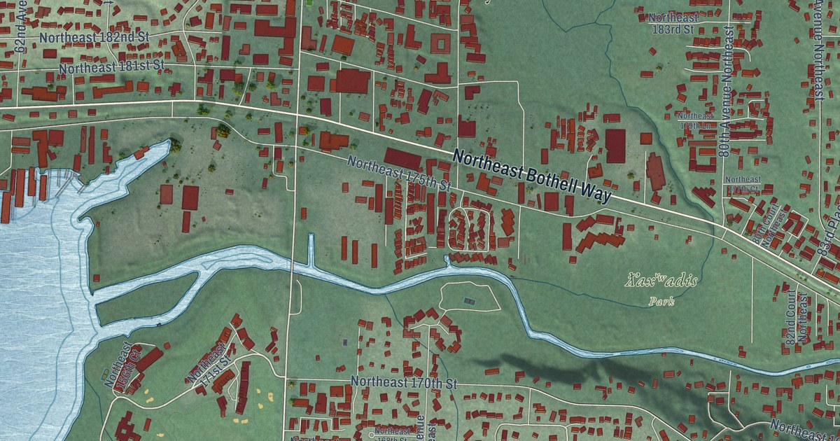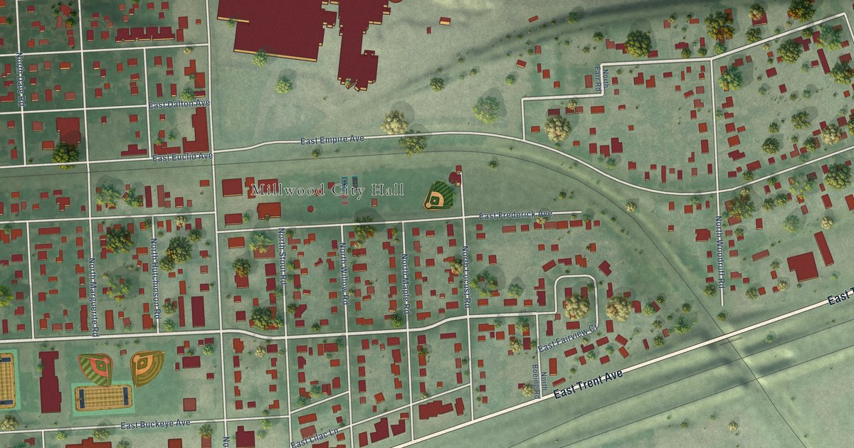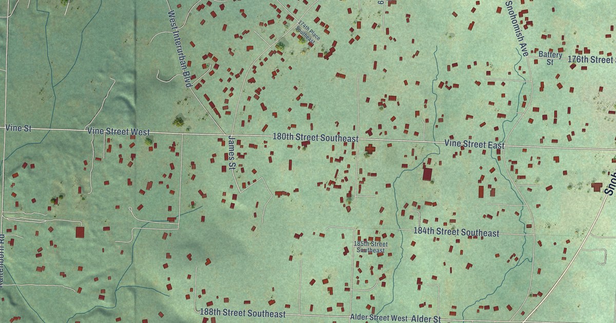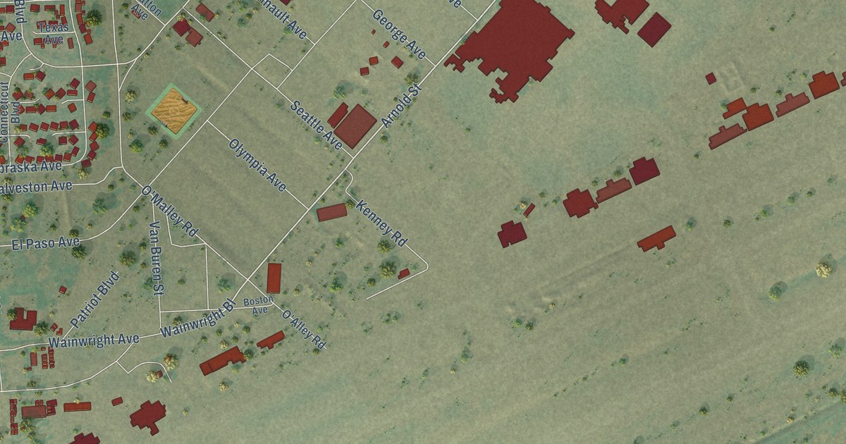
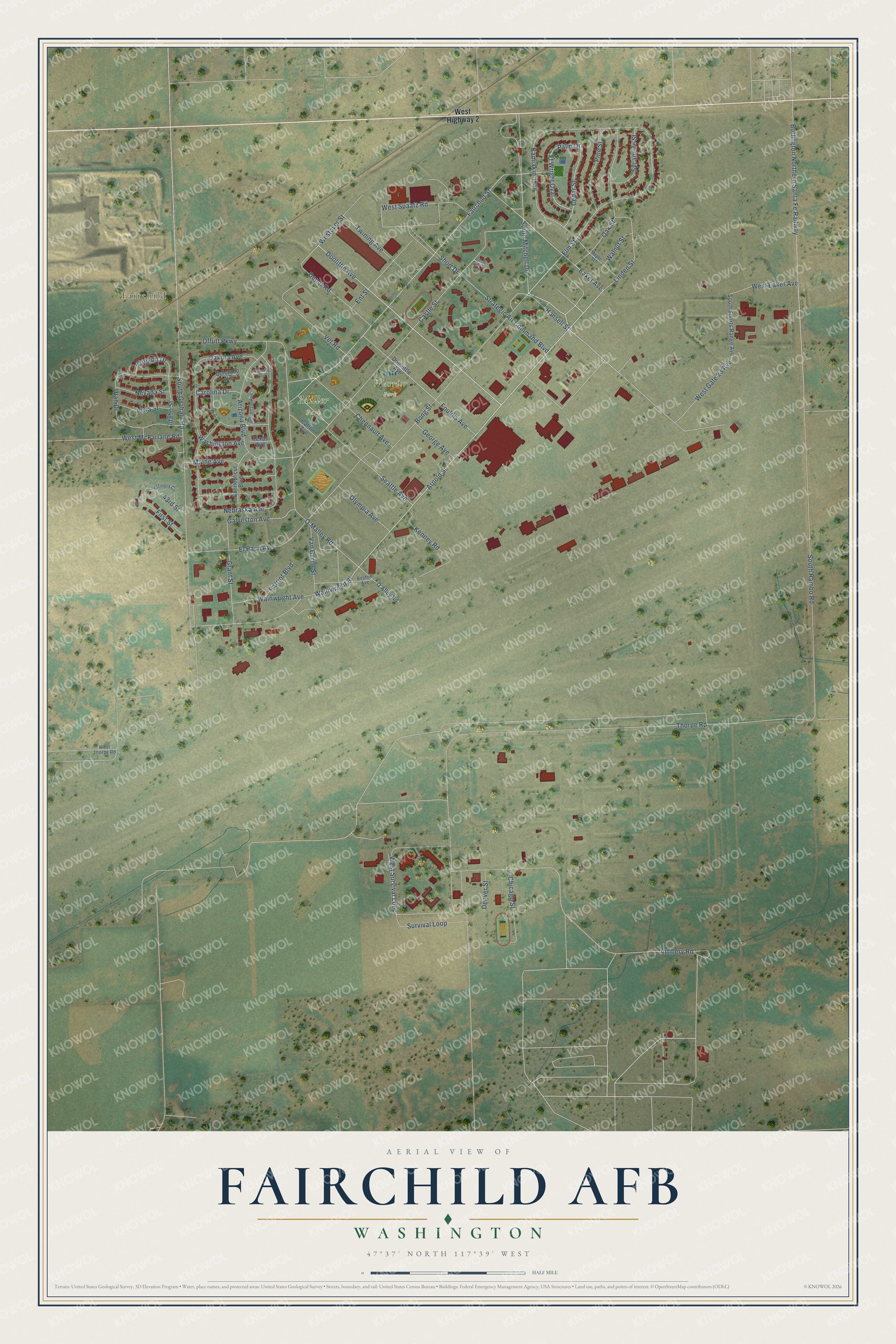
This beautifully detailed map of Fairchild AFB, Washington was created in 2026 using aerial imagery combined with modern topographical, census, street and landmark data. It's a modern aerial view of Fairchild AFB in Spokane County, Washington, that combines modern data with a vintage aesthetic. The roads feature printed names, and if you look closely you can find your exact house accurately shown in its correct location.
Explore an aerial view of Fairchild AFB, Washington
On this map you'll find Fairchild, Miller Park, Warrior Park, Doolittle Avenue, Eaker Avenue, Arnold Street, Bong Street, Wainwright Bl, Elm Street, Hansell Street, Fairchild Street, O'Malley Road, and more. Each red shape is a building, so zoom in on the preview and look for yours.
Fairchild AFB is a community in Spokane County. The Census Bureau counted 2,695 people here in 2020. Fairchild AFB sits about 4 miles southwest of Airway Heights, 4 miles northeast of Medical Lake and 5 miles northwest of Four Lakes. The map prints the town name in its title panel, with the coordinates below it.
Take a closer look at the Fairchild AFB map
Names on this map
These names are printed on this map.
Places: Fairchild, Miller Park and Warrior Park.
Streets and roads: Doolittle Avenue, Eaker Avenue, Arnold Street, Bong Street, Wainwright Bl, Elm Street, Hansell Street, Fairchild Street, O'Malley Road, El Paso Avenue, South Mitchell Drive, Galveston Avenue.
More street names, A to Z
43rd Street, Arizona Boulevard, Artillery Circle, Artillery Road, Boston Avenue, Burlington Northern Santa Fe Railway, Carolina Drive, Castle Street, Catton Avenue, Cedar Street, Chennault Avenue, Chicago Street, Circle Drive, Colorado Avenue, Connecticut Boulevard, Dakota Avenue, Denver Street, Depot Road, Dooliittle Avenue, Ent Street, First Street, Foulois Avenue, Ft Wright Oval, George Avenue, Grant Street, Idaho Street, Iowa Street, Kamiakin Trail, Kenney Road, Linden Street, Maine Avenue, Maple Street, Nebraska Avenue, Nevada Street, O'Alley Road, Oak Street, Offutt Parkway, Olympia Avenue, Oregon Drive, Palm Drive, Patriot Boulevard, Pine Street, Seattle Avenue, Short Drive, South Graham Road, South Rambo Road, South Sports Range Avenue, Strategic Air Command Boulevard, Survival Loop, Sycamore Street, Texas Avenue, Thorpe Road, Twining Avenue, Utah Drive, Van Buren Street, Vet Road, Wainwright Avenue, Walnut Street, Washington Avenue, West Eaker Avenue, West Gate 23 Avenue, West Highway 2, West McFarlane Road, Westover Street, West Spaatz Road, West Survival Loop, West Thorpe Road, Wisconsin Avenue, Wyoming Avenue.
See it on a wall
The Fairchild AFB map as a framed print. Swipe for more.


Created by KNOWOL in 2026. The buildings are small red shapes, the roads carry their printed names, and shaded relief shows the shape of the land. The title panel reads "AERIAL VIEW OF FAIRCHILD AFB, WASHINGTON" with 47°37' NORTH 117°39' WEST.
It looks right in a kitchen, an office or a den, and it's a gift for anyone who grew up in Fairchild AFB or moved away. Open the preview and find your street. See sizes and frames for the Fairchild AFB map.