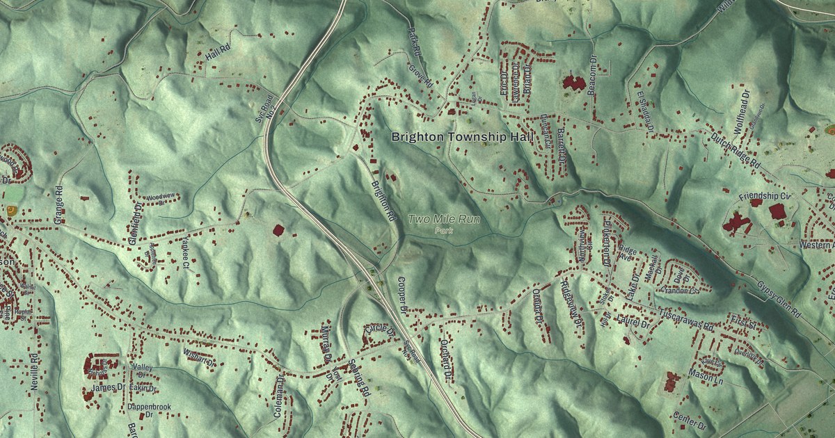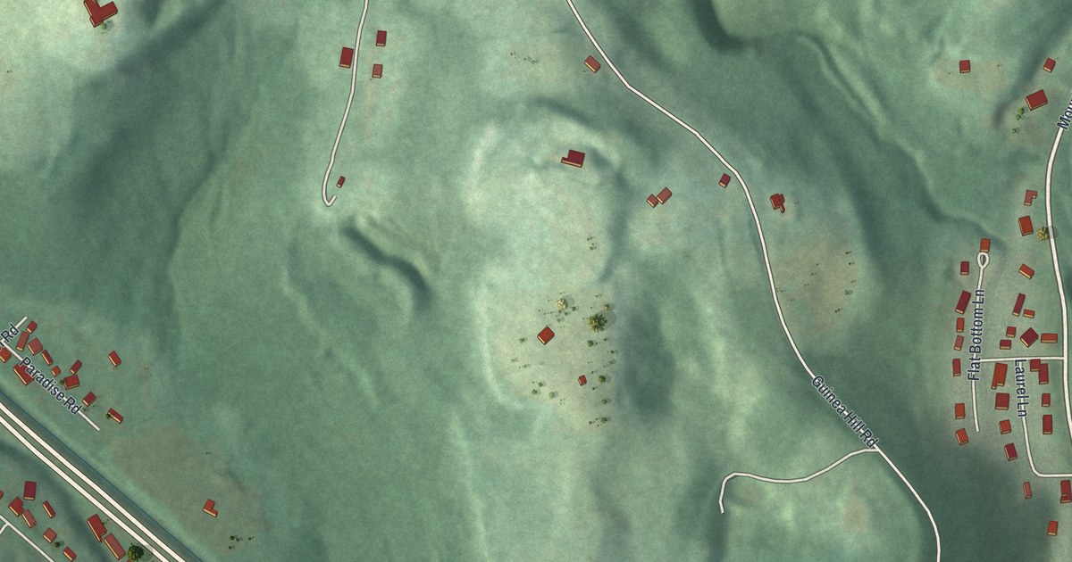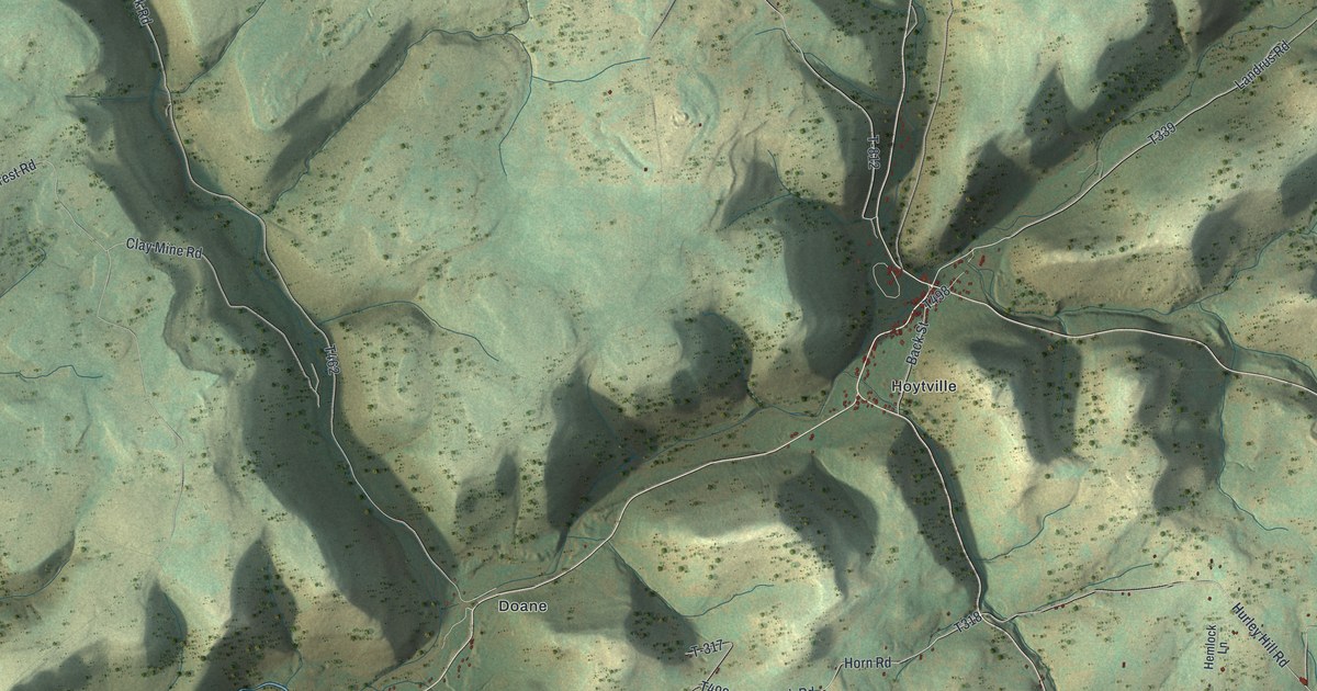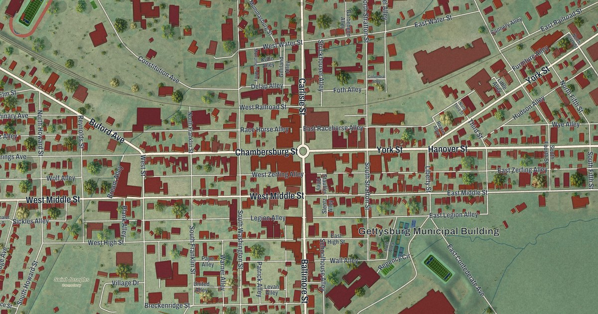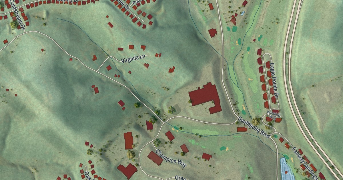
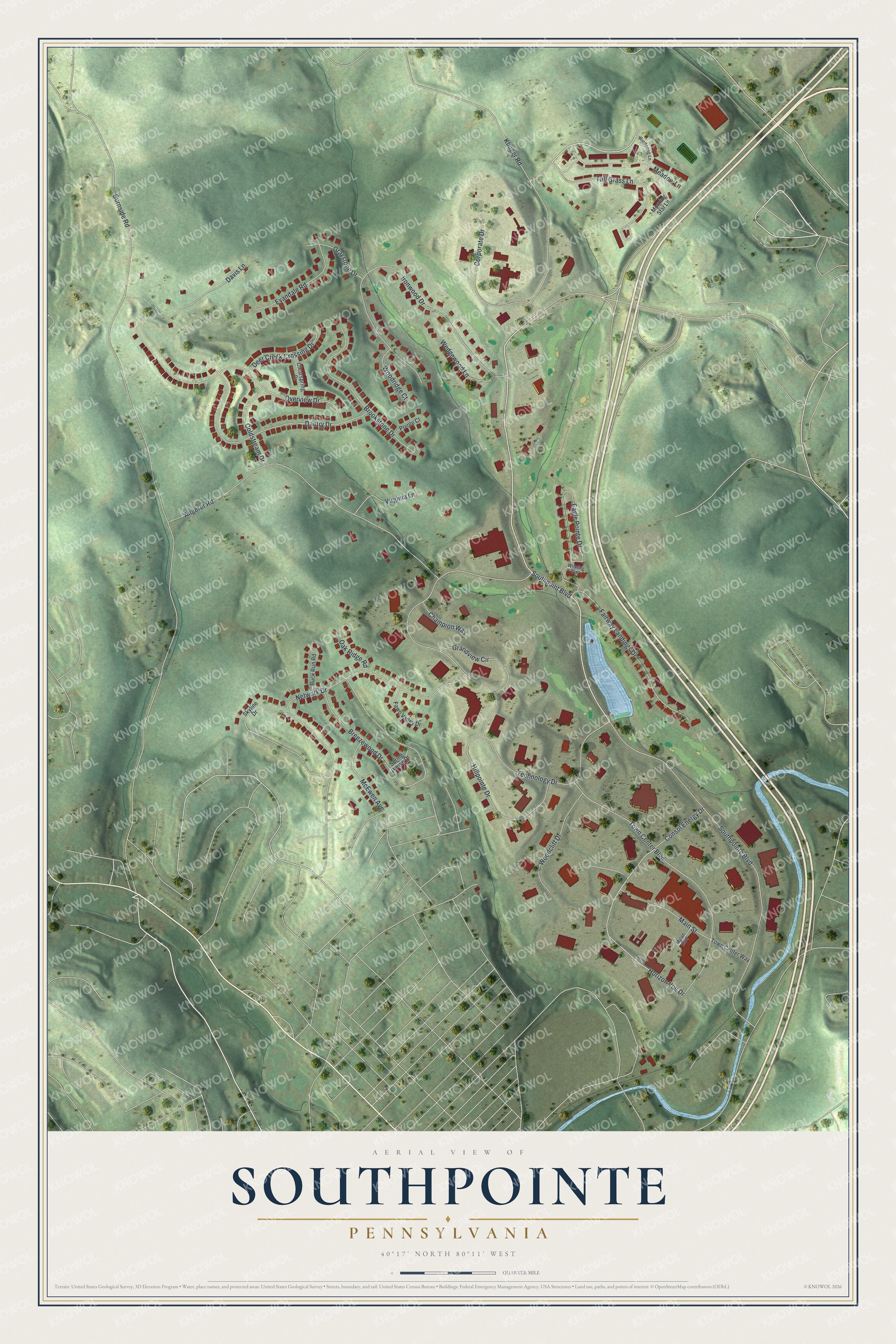
This beautifully detailed map of Southpointe, Pennsylvania was created in 2026 using aerial imagery combined with modern topographical, census, street and landmark data. It's a modern aerial view of Southpointe in Washington County, Pennsylvania, that combines modern data with a vintage aesthetic. The roads feature printed names, and if you look closely you can find your exact house accurately shown in its correct location.
Explore an aerial view of Southpointe, Pennsylvania
On this map you'll find Southpointe Boulevard, Southpoint Boulevard, Horizon Vue Drive, Technology Drive, Ironwood Drive, Angerer Road, Network Drive, Town Center Boulevard, Breezewood Drive, Dantry Drive, Overview Drive, Eagle Pointe Drive, and more. Each red shape is a building, so zoom in on the preview and look for yours.
Southpointe is a community in Washington County. Southpointe sits about 2 miles south of Cecil-Bishop, 2 miles north of Canonsburg and 3 miles northeast of Midland. The map prints the town name in its title panel, with the coordinates below it.
Take a closer look at the Southpointe map
Names on this map
These names are printed on this map.
Streets and roads: Southpointe Boulevard, Southpoint Boulevard, Horizon Vue Drive, Technology Drive, Ironwood Drive, Angerer Road, Network Drive, Town Center Boulevard, Breezewood Drive, Dantry Drive, Overview Drive, Eagle Pointe Drive.
More street names, A to Z
Brookstone Drive, Buck Run Road, Burnside Road, Champion Way, Clearspring Drive, Coldstream Drive, Consol Energy Drive, Corporate Drive, Davis Lane, Deer Creek Crossing Drive, Evandale Road, Fairway Landings Drive, Fawn Valley Drive, Grandview Circle, Graystone Drive, Hillpointe Drive, Klinger Road, Main Street, McEwen Avenue, Meadow Lane, Morning Star Lane, Mylan Boulevard, Oak Ridge Road, Pointe Court, Skyline Drive, Spring House Drive, Tall Grass Lane, Town Center Way, Virginia Lane, Wedgewood Lane, Windsong Lane, Winning Way, Woodcliff Drive, Woodridge Court.
See it on a wall
The Southpointe map as a framed print. Swipe for more.


Created by KNOWOL in 2026. The buildings are small red shapes, the roads carry their printed names, and shaded relief shows the shape of the land. The title panel reads "AERIAL VIEW OF SOUTHPOINTE, PENNSYLVANIA" with 40°17' NORTH 80°11' WEST.
It suits a den, a classroom or a front hall, and it makes a gift for anyone with Southpointe roots. Open the preview and find the block you know. See sizes and frames for the Southpointe map.