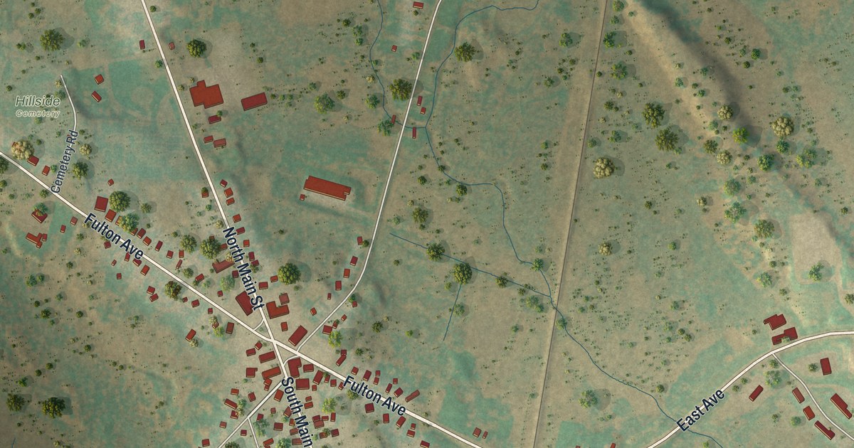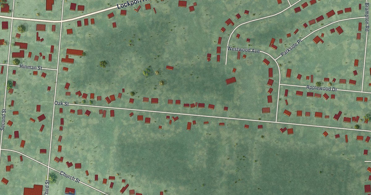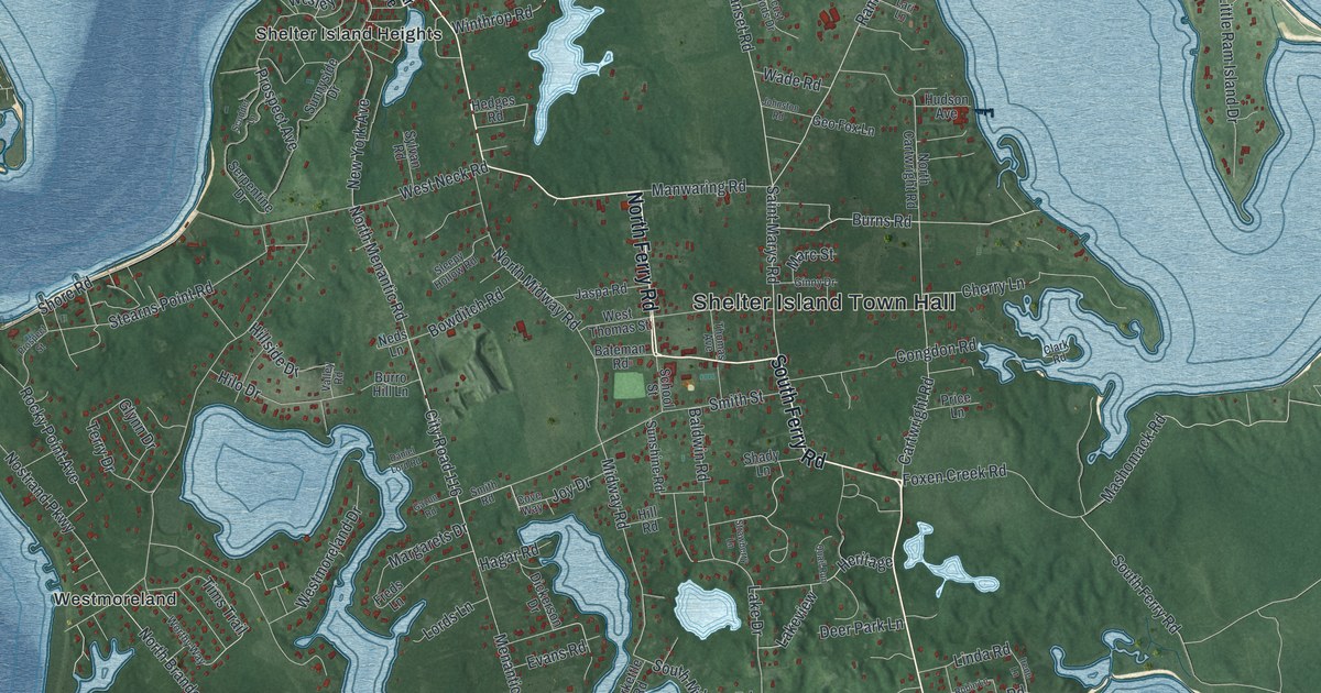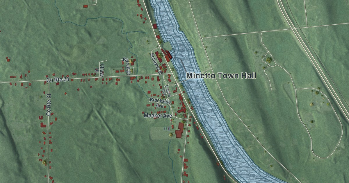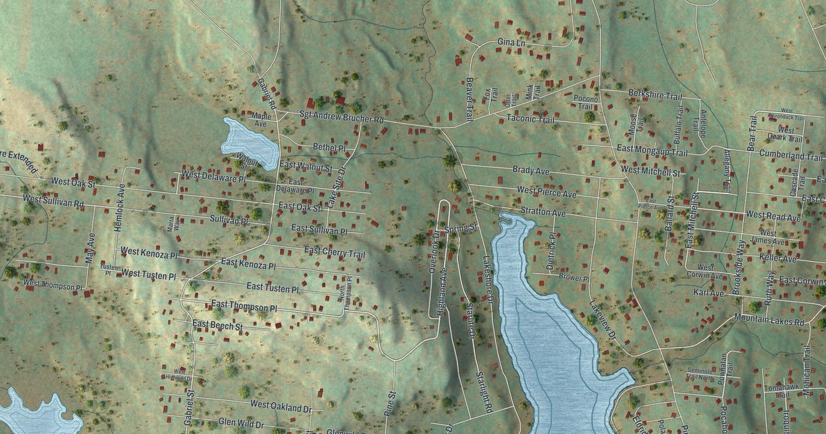
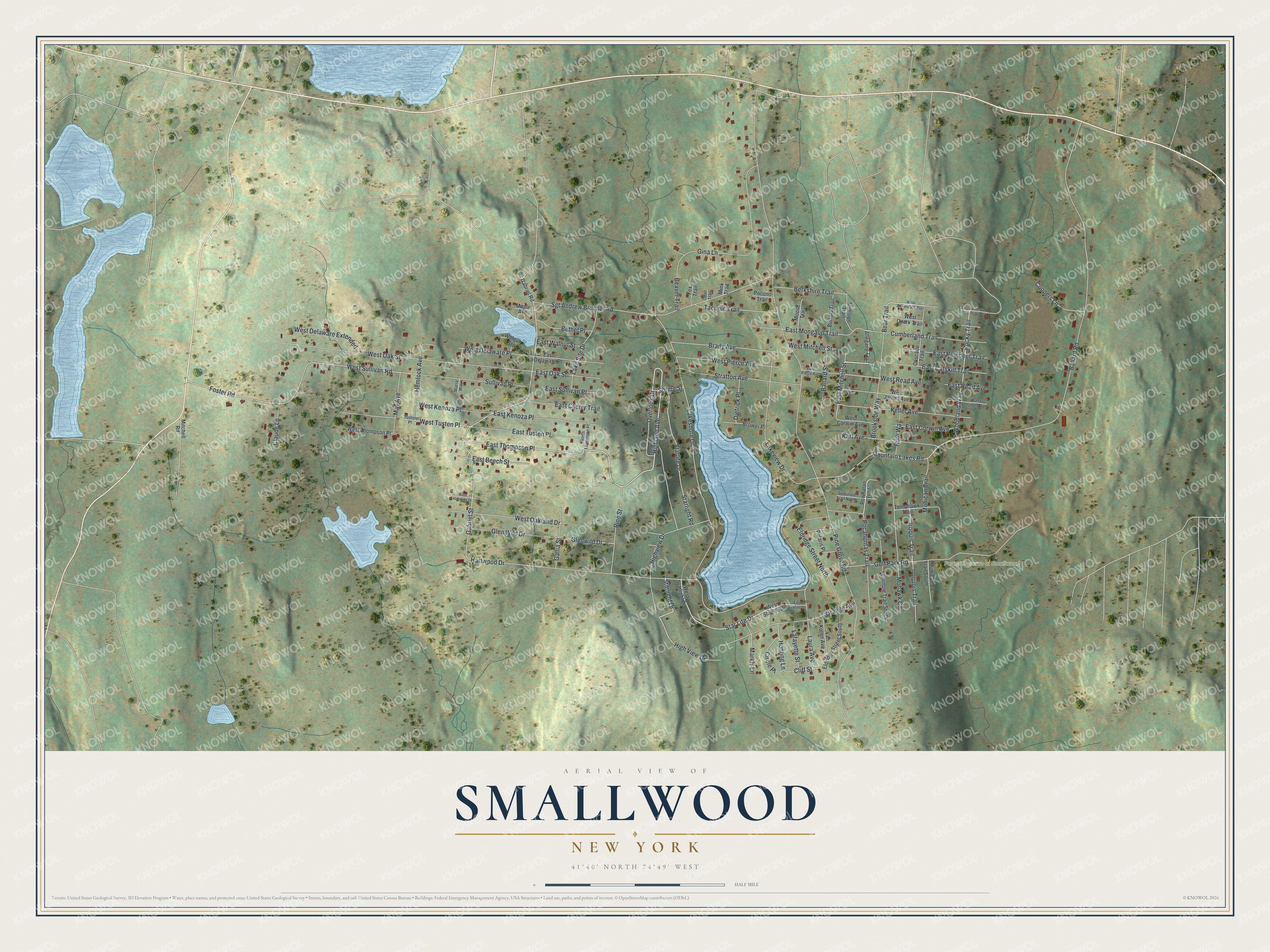
This beautifully detailed map of Smallwood, New York was created in 2026 using aerial imagery combined with modern topographical, census, street and landmark data. It’s a one-of-a-kind view of Smallwood that combines accurate data with a vintage aesthetic. The map shows every building in its true location, many of the roads carry their names, and the shaded topographic relief shows the shape of the land.
Explore an aerial view of Smallwood, New York
On the map you’ll find Forest Reserve at Smallwood and East Thompson Place, along with Highland Avenue, West Mitchell Street, East Mitchell Street, Pocahontas Trail, Bear Trail, Woodland Way, Gabriel Street, Orange Avenue, Foster Road, Starlight Drive, and more. Smallwood sits about 2 miles southeast of White Lake, 2 miles southeast of Kauneonga Lake and 2 miles southwest of Mongaup Valley. If you look closely you can even find your house accurately drawn in its correct location. Zoom in on the preview to look for yours.
Take a closer look at the Smallwood map
Names on this map
These names are printed on this map.
Places: Forest Reserve at Smallwood.
Streets and roads: Highland Avenue, West Mitchell Street, East Mitchell Street, Pocahontas Trail, East Thompson Place, Bear Trail, Woodland Way, Gabriel Street, Orange Avenue, Foster Road, Starlight Drive, West Sullivan Road.
More street names, A to Z
Allegany Trail, Antelope Trail, Ballard Road, Ballard Street, Beaver Trail, Berkshire Trail, Bethel Place, Brady Avenue, Brookside Way, Brower Place, Buffalo Trail, Cascade Trail, Circle Place, Claude Lane, Cliff Street, Coopers Lane, Cumberland Trail, Dietrick Place, East Adirondack Trail, East Beech Street, East Catskill Trail, East Cherry Trail, East Corwin Avenue, East Delaware Place, East James Avenue, East Kenoza Place, East Mongaup Trail, East Oak Street, East Pierce Avenue, East Read Avenue, East Reindeer Trail, East Starlite Drive, East Sullivan Place, East Tusten Place, East Walnut Street, Eldridge Street North, Eldridge Street South, Fox Trail, Gabriel Road, Gallia Street, Gina Lane, Glen Wild Drive, Glenwild Drive, Golf Park Road, Hartwood Drive, Hemlock Avenue, High View Drive, Highview Drive, Hunting Lane, Iroquis Trail, Iroquois Trail, Karl Avenue, Keller Avenue, Lafayette Street, Lakeshore Drive, Lake Site Drive, Lakeview Drive, Laura Avenue, Maple Avenue, Markly Lane, Marra Way, May Avenue, Mink Trail, Mitchell Road, Mohawk Circle, Mohican Trail, Mohican Trail South, Moose Trail, Mountain Lakes Road, North Thompson Place, Otter Trail, Overlook Drive, Pine Grove Road, Pine Street, Pocono Trail, Polaris Place, Powhatan Trail, Rocky Trail, Ruth Way, Seminole Trail North, Seminole Trail South, Sgt Andrew Brucher Road, Spring Street, Starlight Road, Star Lite Drive, Starlite Drive, Stratton Avenue, Sullivan Place, Taconic Trail, Tomahawk Trail, Tusten Place, Van Kuren Avenue, Walnut Street, West Adirondack Trail, West Corwin Avenue, West Delaware Extended, West Delaware Place, West Highland Drive, West James Avenue, West Kenoza Place, West Oakland Drive, West Oak Street, West Ozark Trail, West Pierce Avenue, West Read Avenue, West Starlight Drive, West Starlite Drive, West Thompson Place, West Tusten Place.
See it on a wall
The Smallwood map as a framed print. Swipe for more.


This beautifully detailed map of Smallwood makes an attractive addition to your office, library, or den, and it can even be used to teach children the geography and history of the area. It also makes a great gift for someone who left Smallwood and still calls it home. When you’re done exploring, click here to get your copy of the Smallwood map.