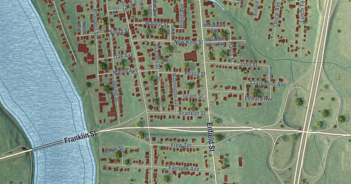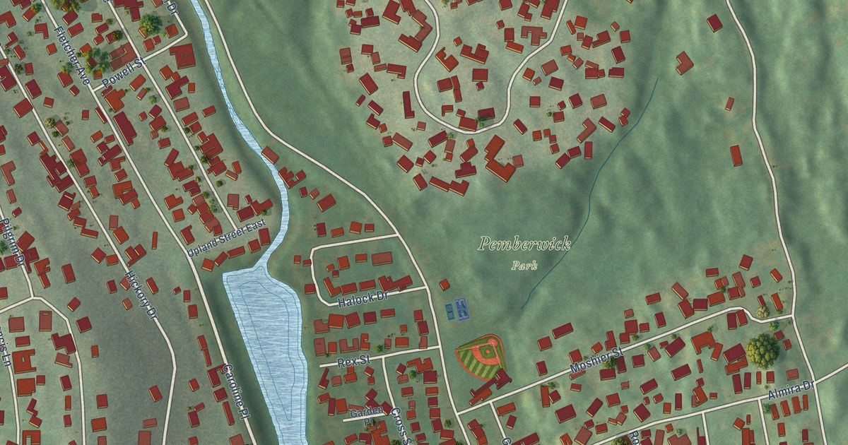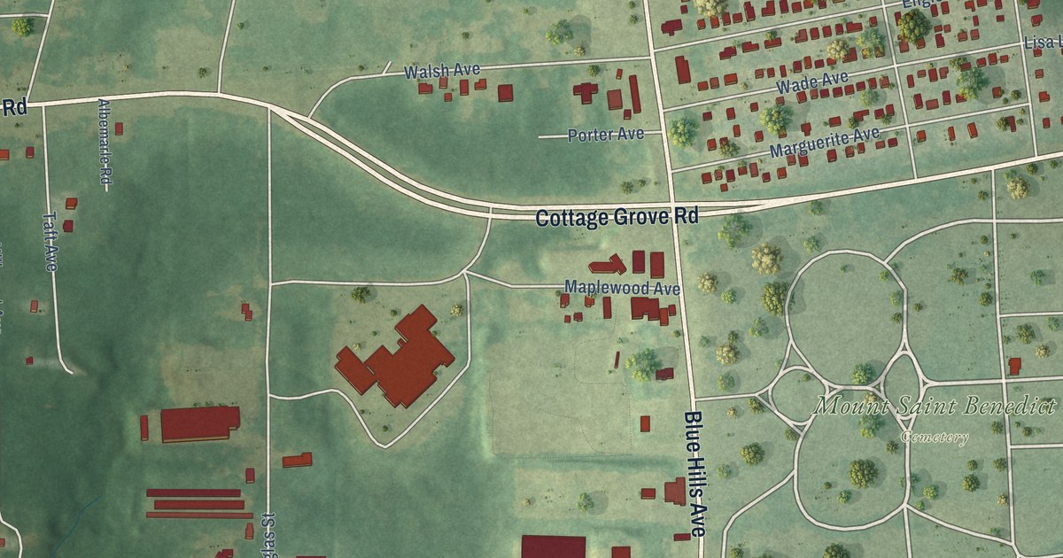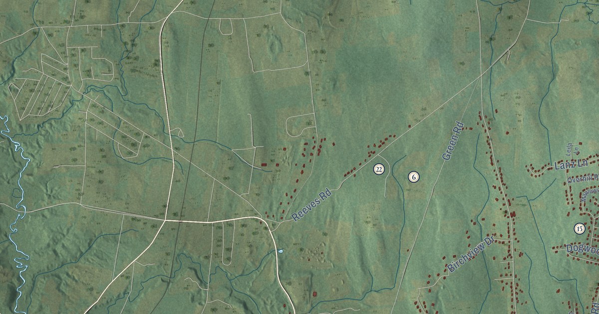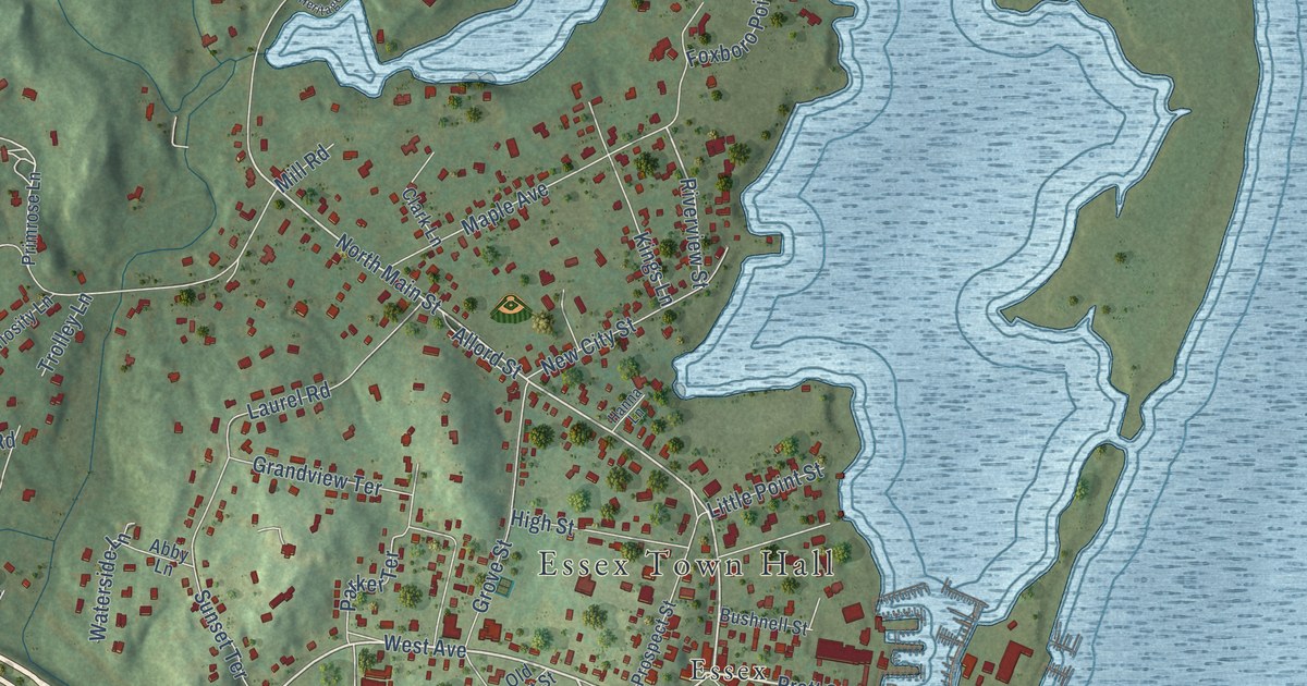
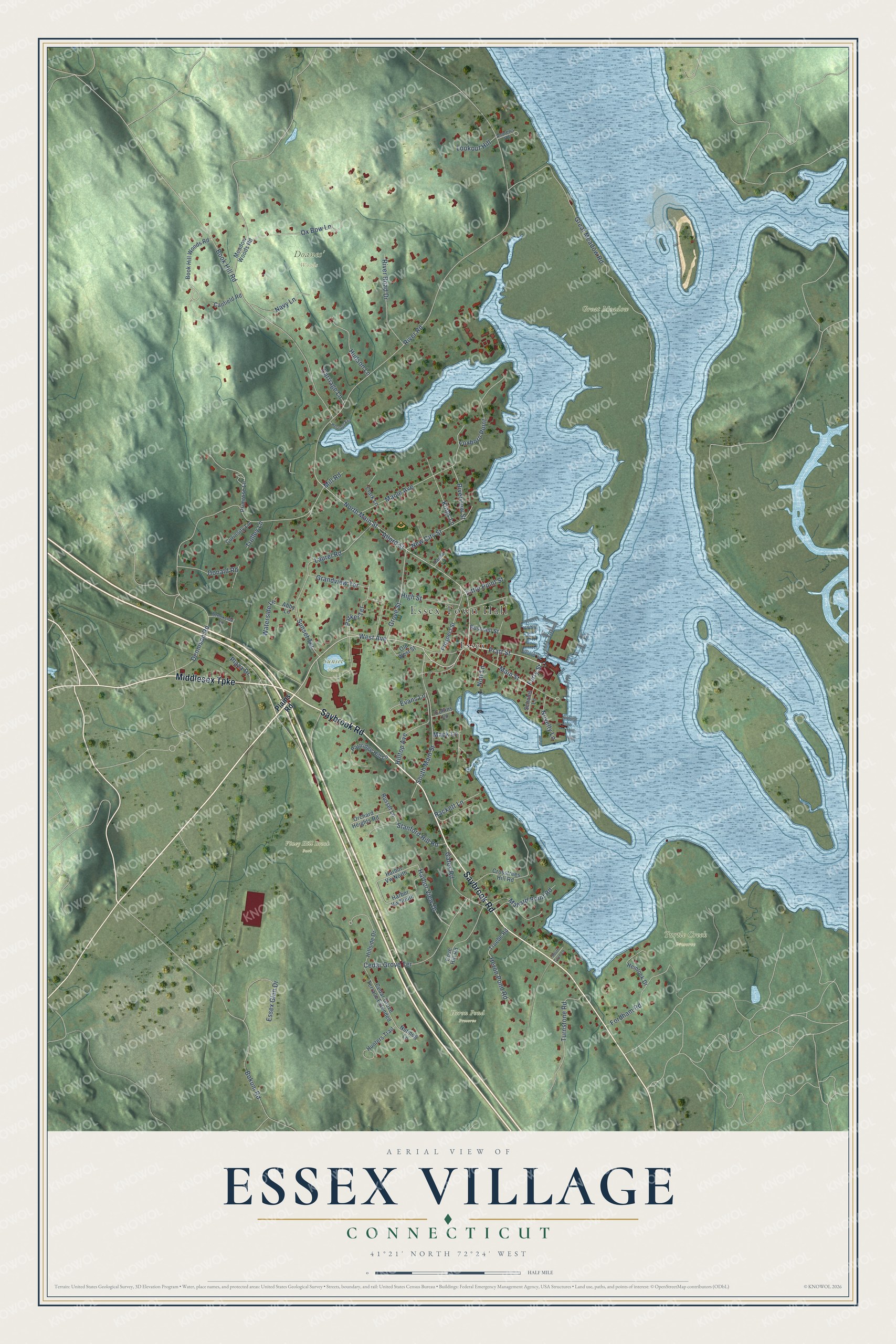
This beautifully detailed map of Essex Village, Connecticut was created in 2026 using aerial imagery combined with modern topographical, census, street and landmark data. It's a modern aerial view of Essex Village in Lower Connecticut River Valley Planning Region, Connecticut, that combines modern data with a vintage aesthetic. The roads feature printed names, and if you look closely you can find your exact house accurately shown in its correct location.
Explore an aerial view of Essex Village, Connecticut
On this map you'll find Essex Town Hall, Doanes' Woods, Great Meadow, Heron Pond Preserve, Turtle Creek Preserve, Viney Hill Brook Park, Sunset Pond, Essex, Middlesex Turnpike, Saybrook Road, West Avenue, Pratt Street, and more. Each red shape is a building, so zoom in on the preview and look for yours.
Essex Village is a community in Lower Connecticut River Valley Planning Region. The Census Bureau counted 2,583 people here in 2020. Essex Village sits about 3 miles southeast of Deep River Center, 5 miles southeast of Chester Center and 5 miles north of Saybrook Manor. The map prints the town name in its title panel, with the coordinates below it.
Take a closer look at the Essex Village map
Names on this map
These names are printed on this map.
Places: Essex Town Hall, Doanes' Woods, Great Meadow, Heron Pond Preserve, Turtle Creek Preserve, Viney Hill Brook Park, Sunset Pond and Essex.
Streets and roads: Middlesex Turnpike, Saybrook Road, West Avenue, Pratt Street, Ferry Street, North Main Street, Riverview Street, Mack Lane, River Road, Dennison Road, Great Meadow Road, Book Hill Road.
More street names, A to Z
Abby Lane, Allord Street, Andrews Road, Bokum Road, Book Hill Woods Road, Brookside Lane, Bushnell Street, Canfield Road, Carriage Lane, Cedar Grove Terrace, Cedar Grove Terrace Extended, Clark Lane, Collins Lane, Cove Hill Road, Crosstrees Hill Road, Curiosity Lane, Donald Road, Essex Glen Drive, Evans Lane, Fordham Road, Foxboro Point, Gates Road, Grandview Terrace, Grove Street, Hanna Lane, Harbor View Drive, Harbor Vw North, Harbor Vw South, Hemlock Drive, Heritage Exe, Heron Pond Road, High Street, Hillside Drive, Hilltop Avenue, Hudson Lane, Hunters Trail, Kings Lane, Laurel Road, Little Point Street, Lookout Hill, Main Street, Mallard Point Road, Maple Avenue, Meadow Woods Road, Mill Road, Navy Lane, New City Street, Nott Lane, Novelty Lane, Nutmeg Lane, Old West Street, Orchard Heights Road, Ox Bow Lane, Parker Terrace, Partridge Hill Lane, Plains Road, Plaza Drive, Primrose Lane, Prospect Street, Rackett Lane, River Road Drive, Russet Lane, Scholes Lane, South Cove Lane, South Main Street, Stanford Hill Road, Sunset Terrace, Trolley Lane, Truebe Road, Turnstone Road, Waterside Lane.
See it on a wall
The Essex Village map as a framed print. Swipe for more.


Created by KNOWOL in 2026. The buildings are small red shapes, the roads carry their printed names, and shaded relief shows the shape of the land. The title panel reads "AERIAL VIEW OF ESSEX VILLAGE, CONNECTICUT" with 41°21' NORTH 72°24' WEST.
It suits a den, a classroom or a front hall, and it makes a gift for anyone with Essex Village roots. Open the preview and find the block you know. See sizes and frames for the Essex Village map.