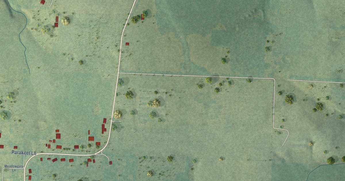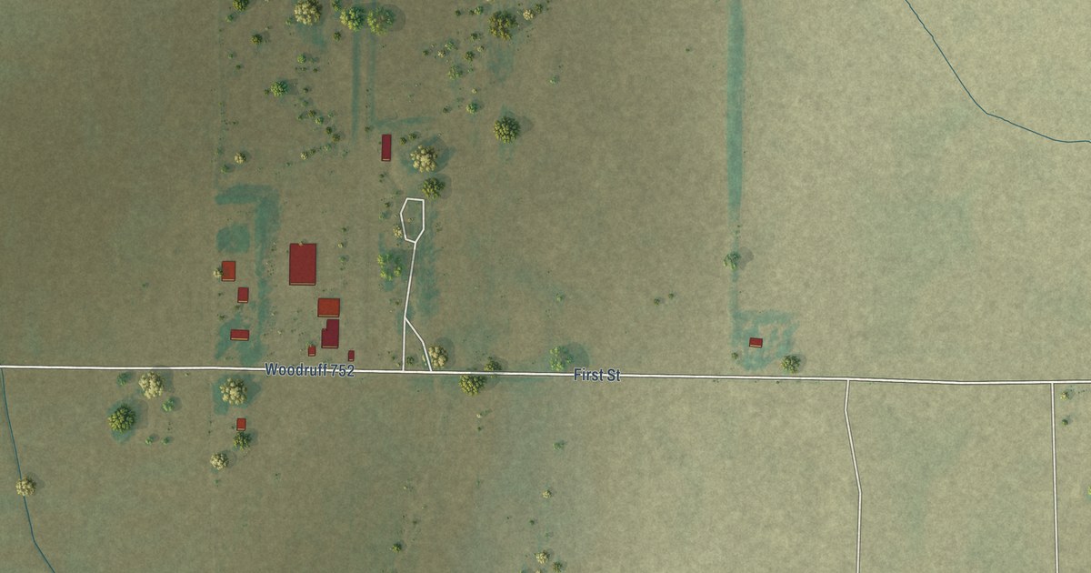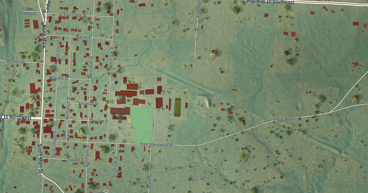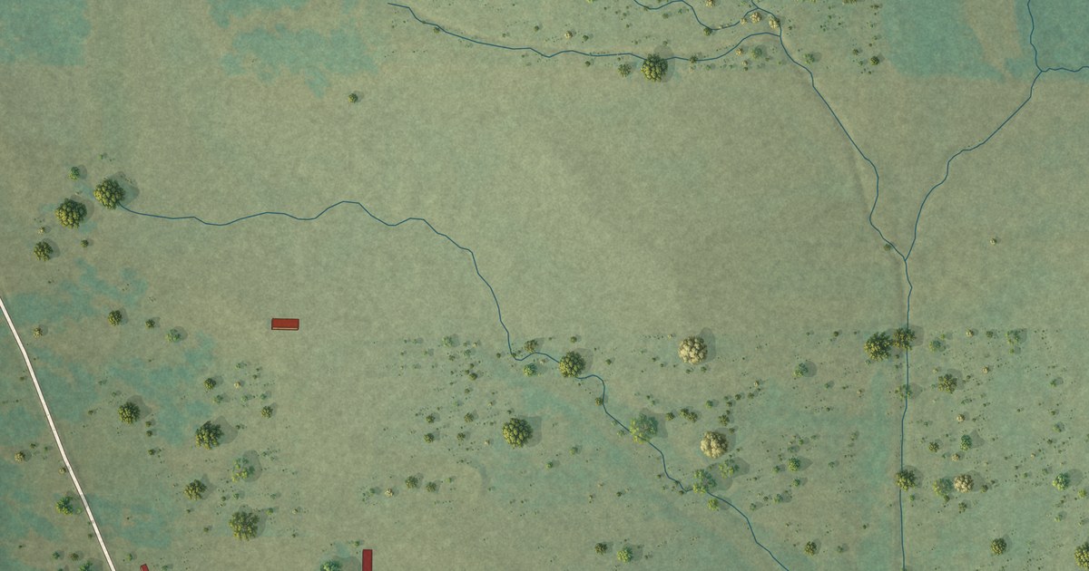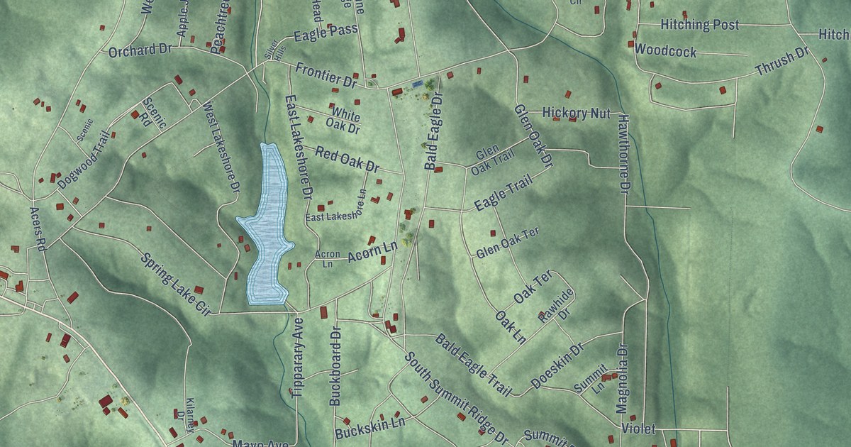
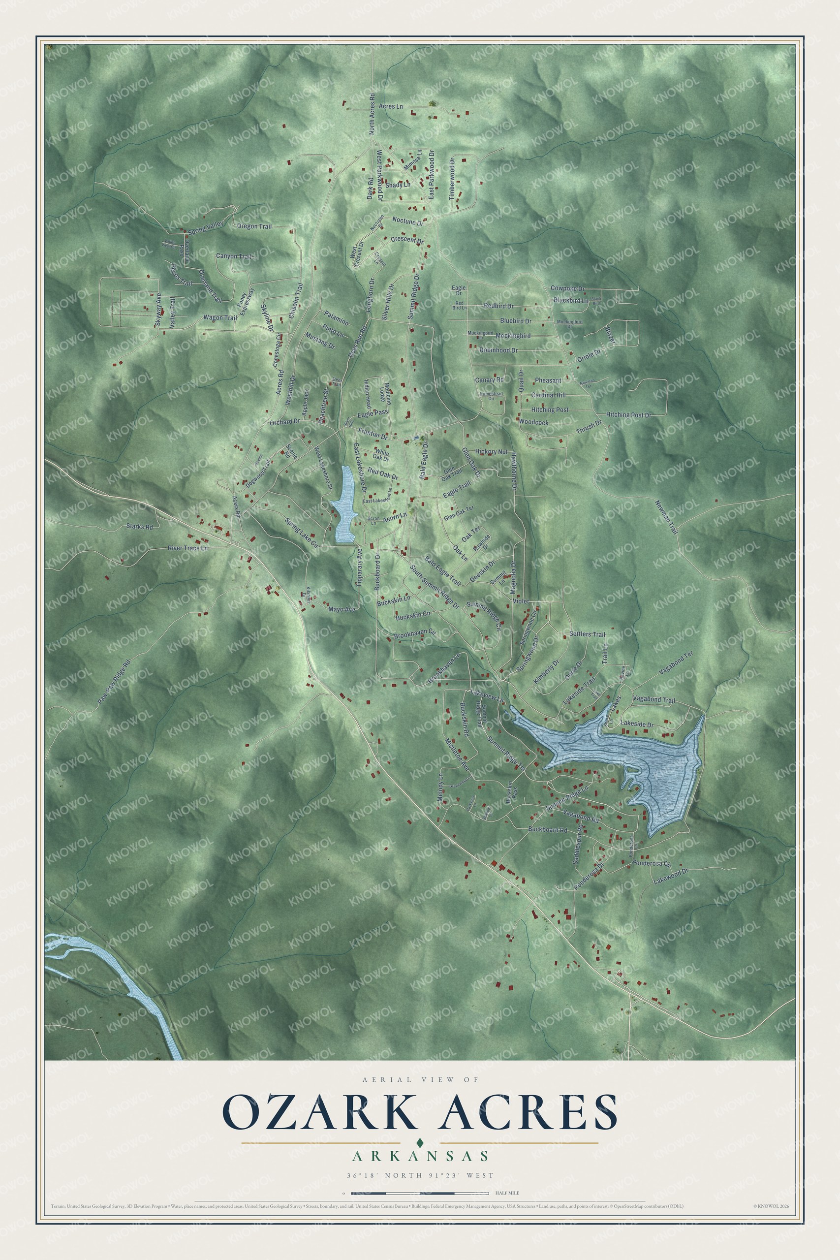
This beautifully detailed map of Ozark Acres, Arkansas was created in 2026 using aerial imagery combined with modern topographical, census, street and landmark data. It's a modern aerial view of Ozark Acres in Sharp County, Arkansas, that combines modern data with a vintage aesthetic. The roads feature printed names, and if you look closely you can find your exact house accurately shown in its correct location.
Explore an aerial view of Ozark Acres, Arkansas
On this map you'll find Springwood Drive, Wagon Trail, Lakeside Drive, Skyway Avenue, Violet, Summit Ridge Drive, Brookhaven Lane, Settlers Trail, Acres Road, Tipparary Avenue, Blackbird Lane, Redbird Drive, and more. Each red shape is a building, so zoom in on the preview and look for yours.
Ozark Acres is a community in Sharp County. The Census Bureau counted 692 people here in 2020. Ozark Acres sits about 4 miles northwest of Williford, 5 miles east of Hardy and 8 miles east of Highland. The map prints the town name in its title panel, with the coordinates below it.
Take a closer look at the Ozark Acres map
Names on this map
These names are printed on this map.
Streets and roads: Springwood Drive, Wagon Trail, Lakeside Drive, Skyway Avenue, Violet, Summit Ridge Drive, Brookhaven Lane, Settlers Trail, Acres Road, Tipparary Avenue, Blackbird Lane, Redbird Drive.
More street names, A to Z
Acers Road, Acorn Lane, Acres Lane, Acron Lane, Apple Jack, Bald Eagle Drive, Bald Eagle Trail, Black Bird, Blazer, Bluebird Drive, Brookhaven Circle, Buckboard Drive, Buckboard Road, Buckskin Circle, Buckskin Lane, Buckskin Pass, Buckskin Road, Canary Road, Canyon Trail, Cardinal Hill, Chisolm Trail, Conestoga Circle, Cowpoke Drive, Crescent Drive, Cresent Lane, Dark Road, Deer Run Road, Deer Trail, Doeskin Drive, Dogwood Trail, Durre Drive, Eagle Drive, Eagle Pass, Eagle Trail, East Lakeshore Drive, East Lakeshore Lane, East Parkwood Drive, Frontier Drive, Glen Oak Drive, Glen Oak Terrace, Glen Oak Trail, Greenwood Lane, Hawthorne Drive, Hickory Nut, Hitching Post, Hitching Post Drive, Homestead Circle, Indian Head, Kilarney Drive, Kimberly Drive, Lakes, Lakeside Trail, Lake Trail, Lakeview Lane, Lakewood Drive, Longhorn Drive, Magnolia Drive, Mayo Avenue, Medicine Lodge, Melody Lane, Mimosa Lane, Mistletoe Avenue, Mockingbird, Mockingbird Drive, Mockingbird Lane, Mustang Drive, Newman Terrace, Newman Trail, Noctune Drive, Nocturne Drive, North Acres Road, Oak Lane, Oak Terrace, Orchard Drive, Oregon Trail, Oriole Drive, Overland Pass, Overland Trail, Palamino, Parkview Lane, Paw-Paw Ridge Road, Peachtree Street, Pecos Trail, Pheasant, Pinto Lane, Ponderosa Circle, Ponderosa Drive, Ponderosa Lane, Poney Expressway, Quail Drive, Ravine Lane, Rawhide Drive, Red Bird Lane, Red Oak Drive, River Trace Lane, Robinhood Drive, Saddlespur Road, Scenic, Scenic Road, Shadow Lane, Shady Lane, Shore Lane, Silver Hills, Silver Hills Drive, Skyline Drive, South Summit Ridge Drive, Spring Lake Circle, Spring Valley, Springwood Circle, Starks Road, Summit Lane, Summit Ridge Circle, Summit Ridge Lane, Summit Ridge Terrace, Summit Ridge Trail, Thrush Drive, Timberwood Drive, Trail Lane, Vagabond Road, Vagabond Terrace, Vagabond Trail, Valley Trail, Valley View Circle, West Cresent Drive, Westhill Drive, West Lakeshore Drive, West Parkwood Drive, White Oak Drive, Woodcock.
See it on a wall
The Ozark Acres map as a framed print. Swipe for more.


Created by KNOWOL in 2026. The buildings are small red shapes, the roads carry their printed names, and shaded relief shows the shape of the land. The title panel reads "AERIAL VIEW OF OZARK ACRES, ARKANSAS" with 36°18' NORTH 91°23' WEST.
It suits a den, a classroom or a front hall, and it makes a gift for anyone with Ozark Acres roots. Open the preview and find the block you know. See sizes and frames for the Ozark Acres map.