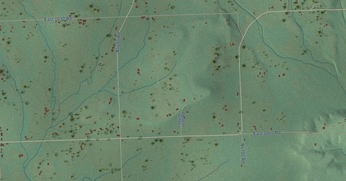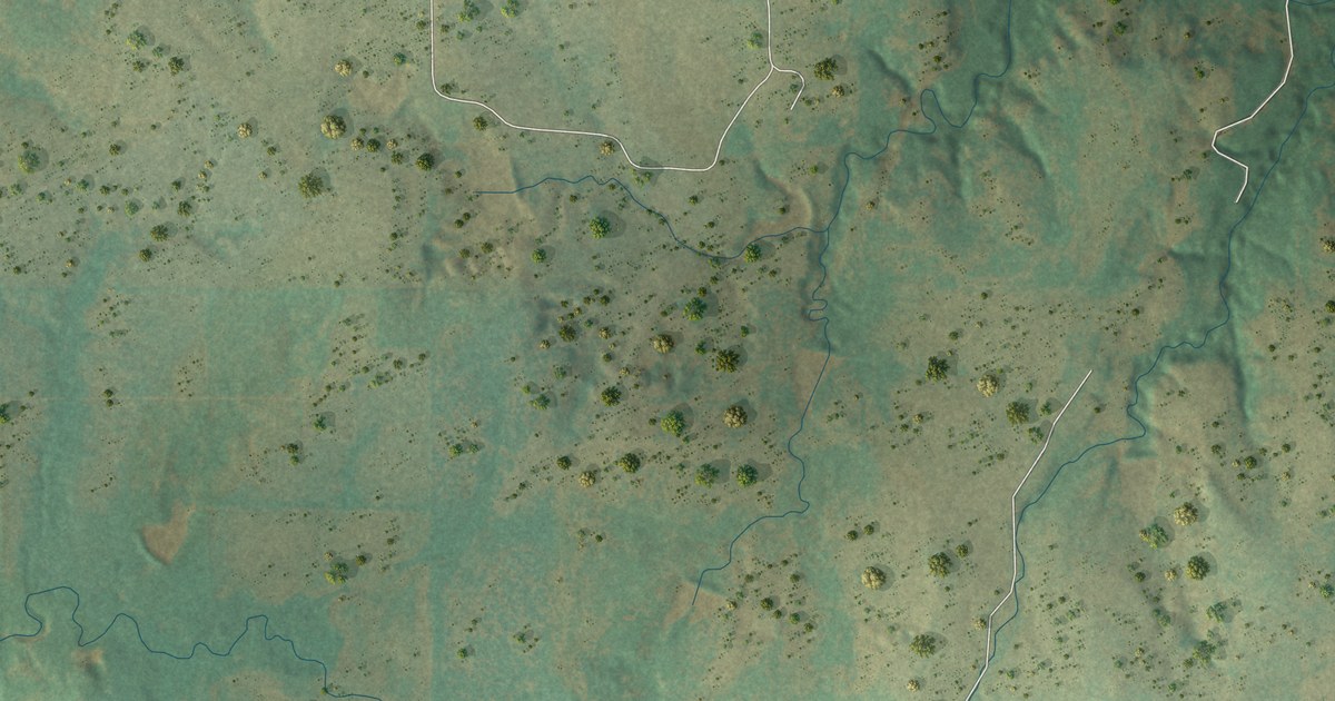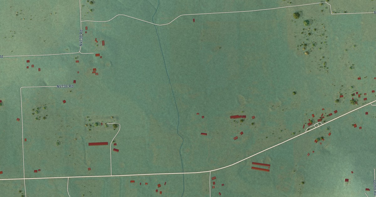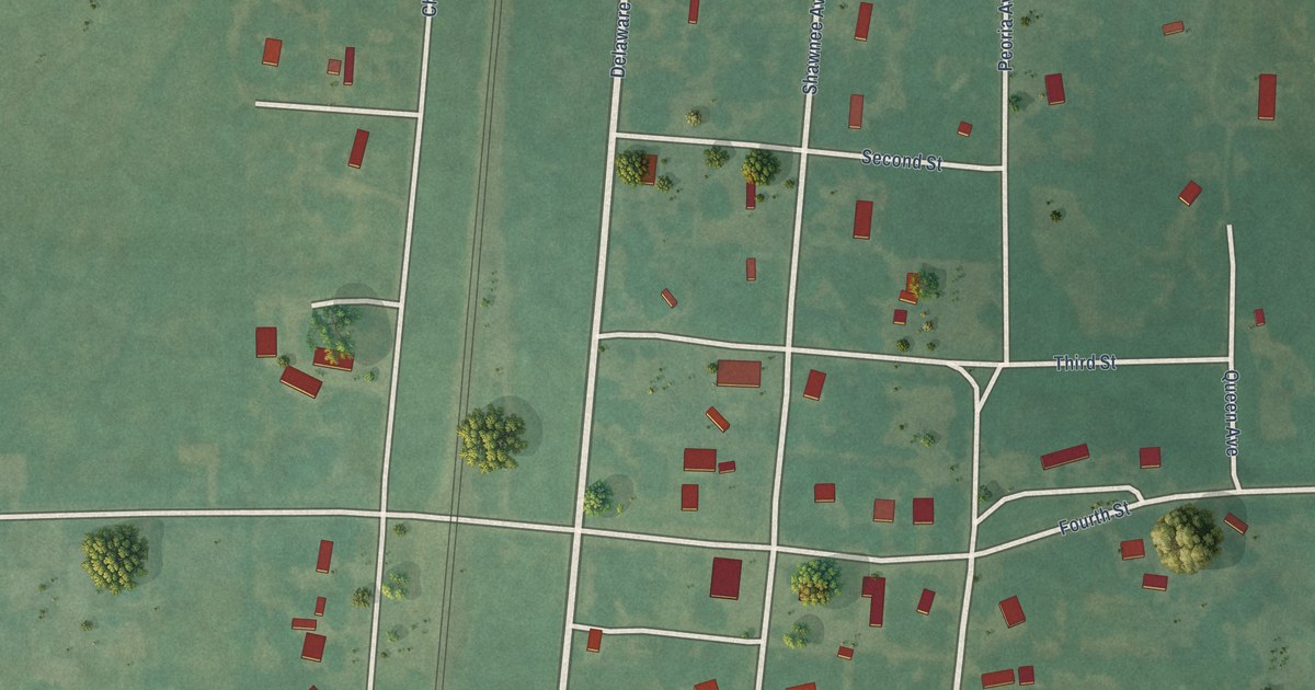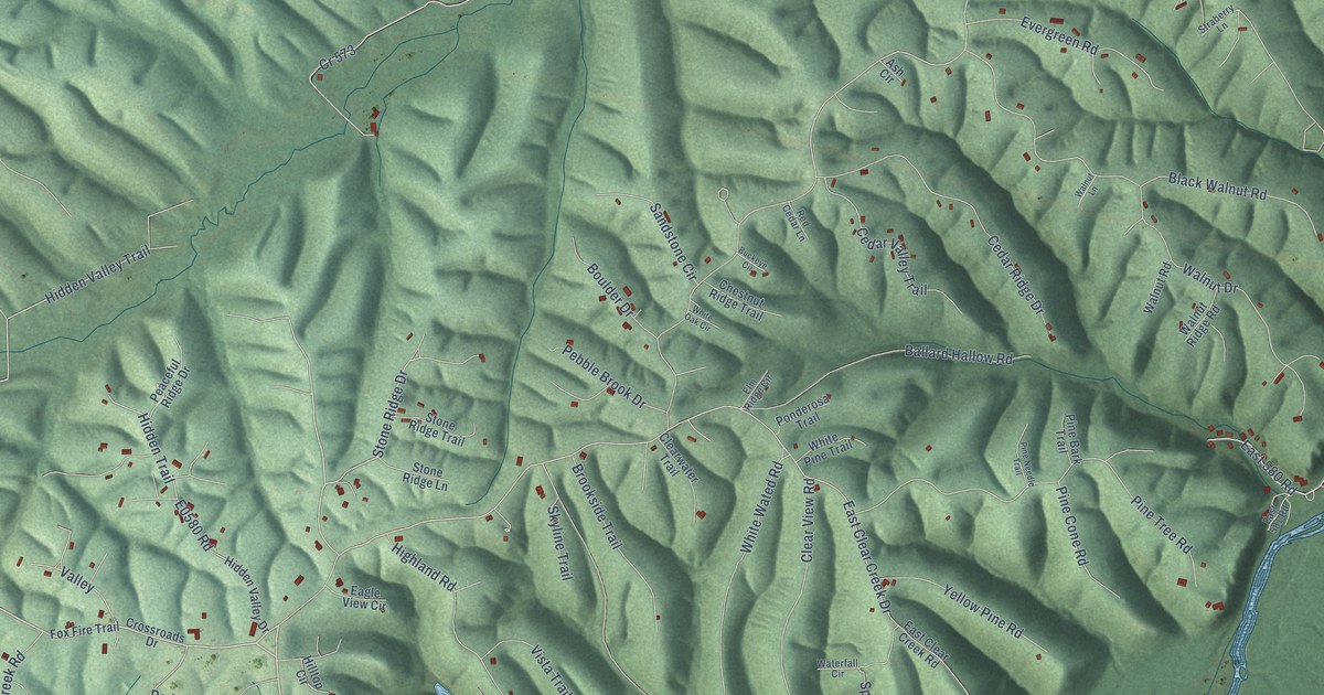
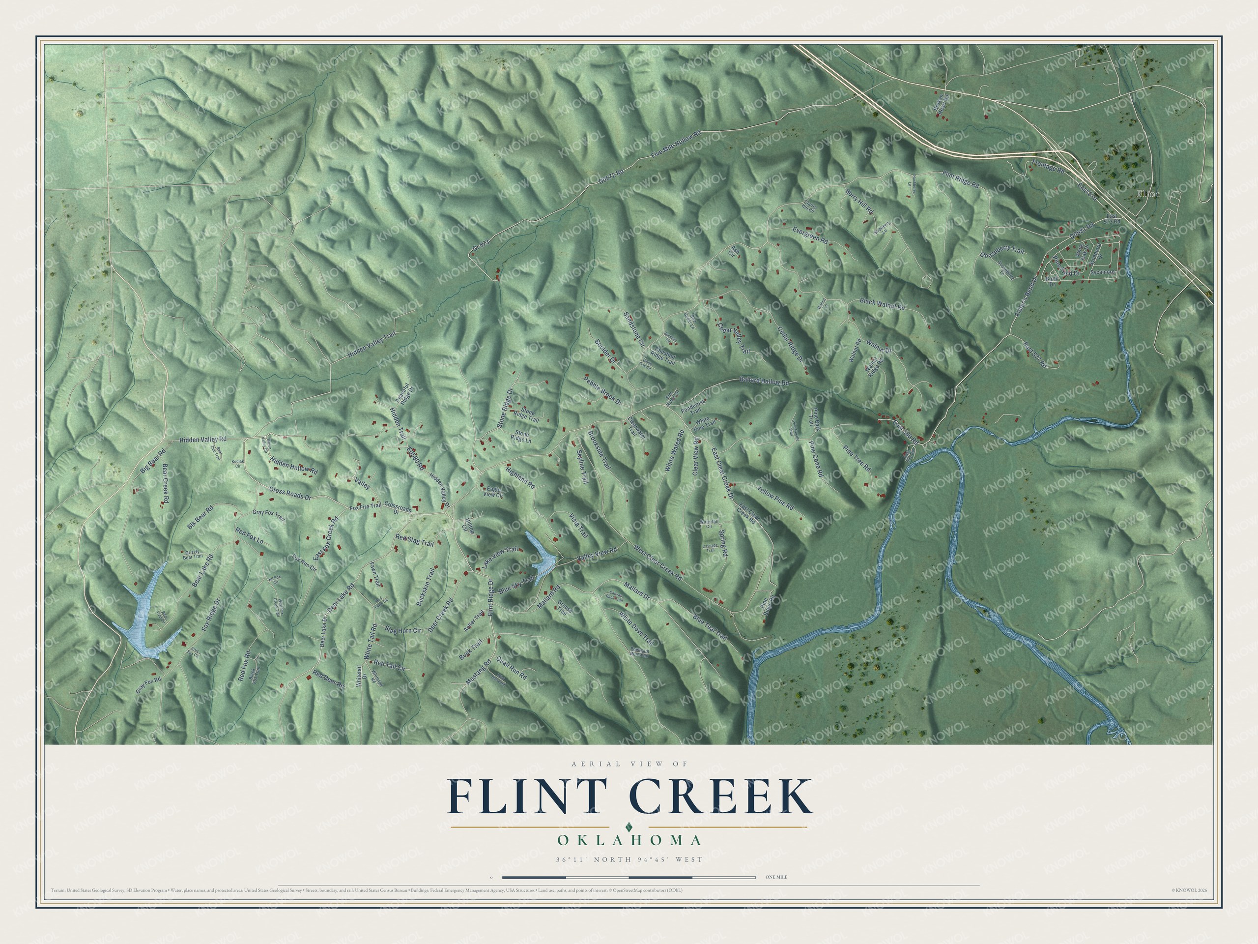
This beautifully detailed map of Flint Creek, Oklahoma was created in 2026 using aerial imagery combined with modern topographical, census, street and landmark data. It's a modern aerial view of Flint Creek in Delaware County, Oklahoma, that combines modern data with a vintage aesthetic. The roads feature printed names, and if you look closely you can find your exact house accurately shown in its correct location.
Explore an aerial view of Flint Creek, Oklahoma
On this map you'll find Flint, Cross Roads Drive, Hidden Hollow Road, E0580 Road, Hidden Valley Trail, Stone Ridge Drive, Flint Ridge Drive, Deer Lake Road, Hidden Valley Road, East Fox Creek Road, Mustang Road, White Tail Road, and more. Each red shape is a building, so zoom in on the preview and look for yours.
Flint Creek is a community in Delaware County. The Census Bureau counted 741 people here in 2020. Flint Creek sits about 3 miles southeast of Kansas, 3 miles west of Dripping Springs and 5 miles north of Chewey. The map prints the town name in its title panel, with the coordinates below it.
Take a closer look at the Flint Creek map
Names on this map
These names are printed on this map.
Places: Flint.
Streets and roads: Cross Roads Drive, Hidden Hollow Road, Hidden Valley Trail, Stone Ridge Drive, Flint Ridge Drive, Deer Lake Road, Hidden Valley Road, East Fox Creek Road, Mustang Road, White Tail Road, Flint Ridge Road, Mallard Drive.
More street names, A to Z
Antler Trail, Artic Fox Circle, Ash Circle, Ballard Hallow Road, Bear Creek Road, Bear Cub Trail, Bear Lake Road, Bear Trap Circle, Berry Hill Road, Big Bear Road, Birch Drive, Black Fox Trail, Black Walnut Road, Blk Bear Road, Blue Sky Trail, Blue Teal Trail, Boulder Drive, Broken Heart Road, Brookside Trail, Buckeye Circle, Buckskin Trail, Buck Trail, Canvas Back Trail, Cascade Trail, Cedar Ridge Drive, Cedar Valley Trail, Cherry Hill Circle, Chestnut Ridge Trail, Clear View Road, Clearwater Trail, Cr 573, Crossroads Drive, Deer Creek Road, Deer Lake Drive, Eagle View Circle, East 570, East 573 Road, East 577 Road, East 580 Road, East 581 Road, East Clear Creek Drive, East Clear Creek Road, Elm Ridge Circle, Evergreen Road, Fawn Trail, Fidler's Bend Drive, Five Mile Hollow Road, Fox Fire Trail, Fox Ridge Drive, Fox Run Circle, Frontage Road, Gooseberry Lane, Gooseberry Trail, Gray Fox Road, Gray Fox Trail, Green Valley Circle, Grizzly Bear Trail, Grouse Trail, Hidden Trail, Hidden Valley Drive, Highland Road, Hilltop Circle, Huckberry Lane, Kit Fox Circle, Kodiak Circle, Lake View Trail, Mallard Road, Peaceful Ridge Drive, Pebble Brook Drive, Pheasant Run Trail, Pine Bark Trail, Pine Cone Road, Pine Field Drive, Pine Needle Trail, Pine Ridge Road, Pine Tree Road, Ponderosa Trail, Quail Run Road, Red Cedar Lane, Red Deer Road, Red Fawn Circle, Red Fox Lane, Red Fox Road, Red Stag Trail, Red Tail Circle, Sandstone Circle, Skyline Trail, Spring Road, Stag Horn Circle, Stone Ridge Lane, Stone Ridge Trail, Straberry Lane, Sycamore, Sycamore Drive, Valley, Valley View Road, Vista Trail, Walnut Drive, Walnut Lane, Walnut Ridge Road, Walnut Road, Waterfall Circle, West Clear Creek Road, West Fox Creek Trail, White Dove Trail, White Oak Circle, White Oak Drive, White Pine Trail, Whitetail Drive, Whitetail Road, White Wated Road, Wild Horse Road, Yellow Pine Road.
See it on a wall
The Flint Creek map as a framed print. Swipe for more.


Created by KNOWOL in 2026. The buildings are small red shapes, the roads carry their printed names, and shaded relief shows the shape of the land. The title panel reads "AERIAL VIEW OF FLINT CREEK, OKLAHOMA" with 36°11' NORTH 94°45' WEST.
Hang it in the hallway, the office or the cabin, or give it to someone who left Flint Creek and still calls it home. Open the preview and look for a street you know. See sizes and frames for the Flint Creek map.