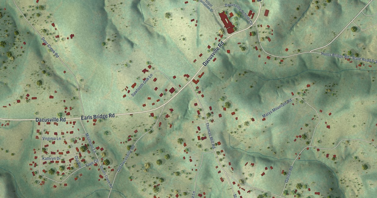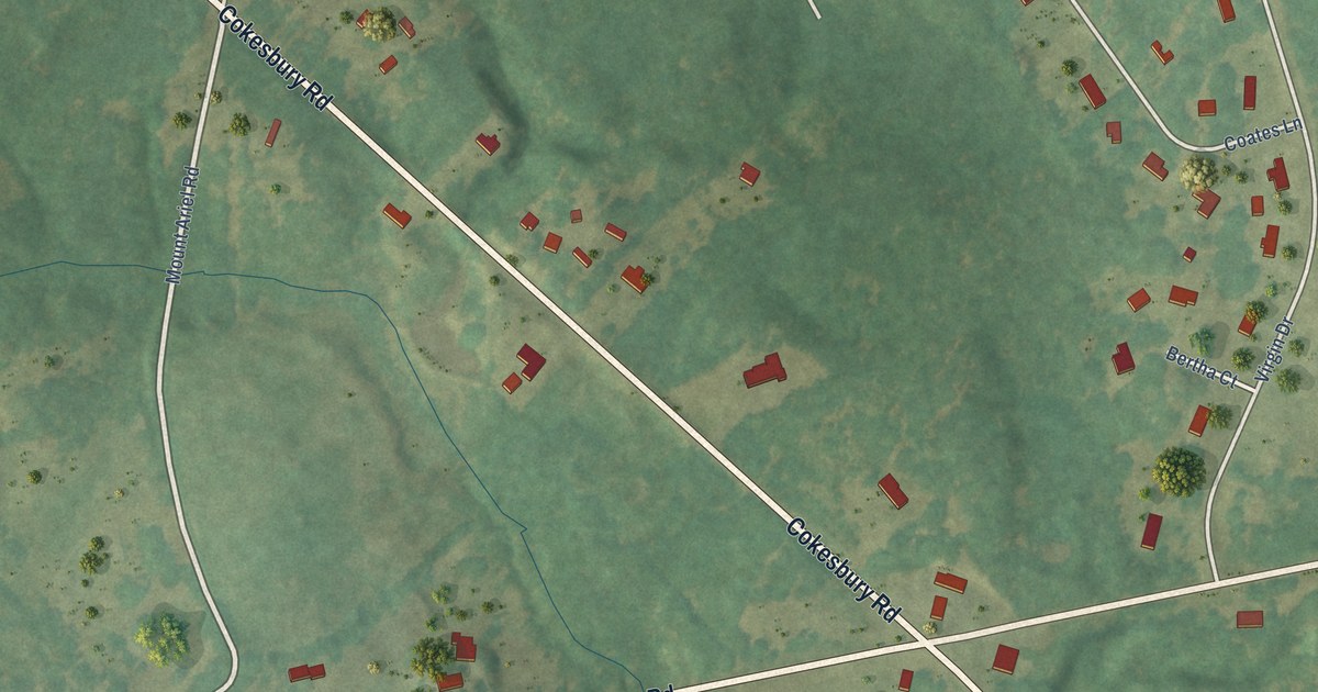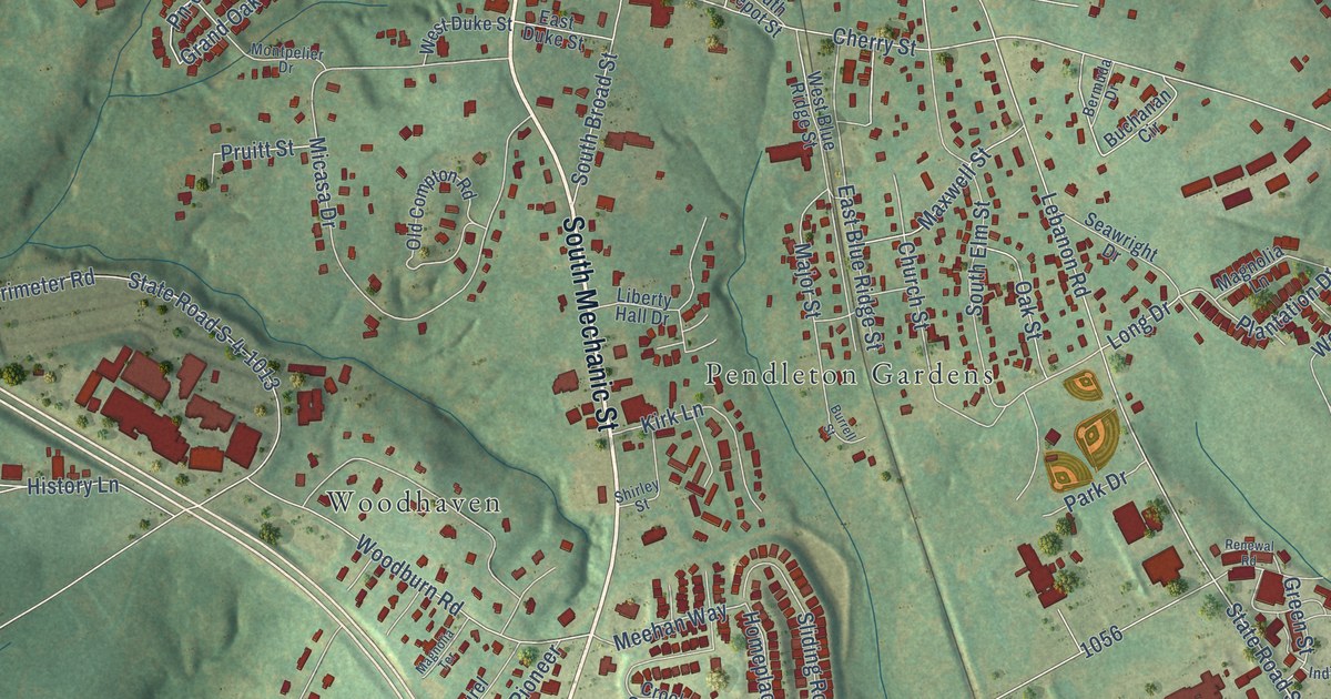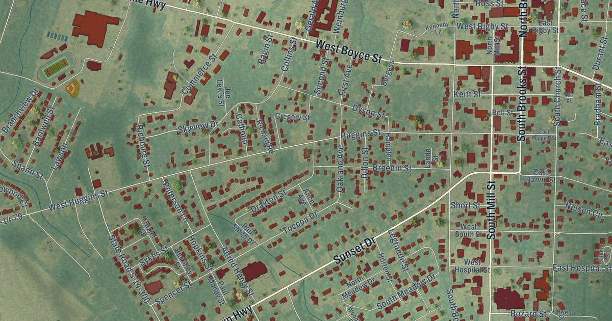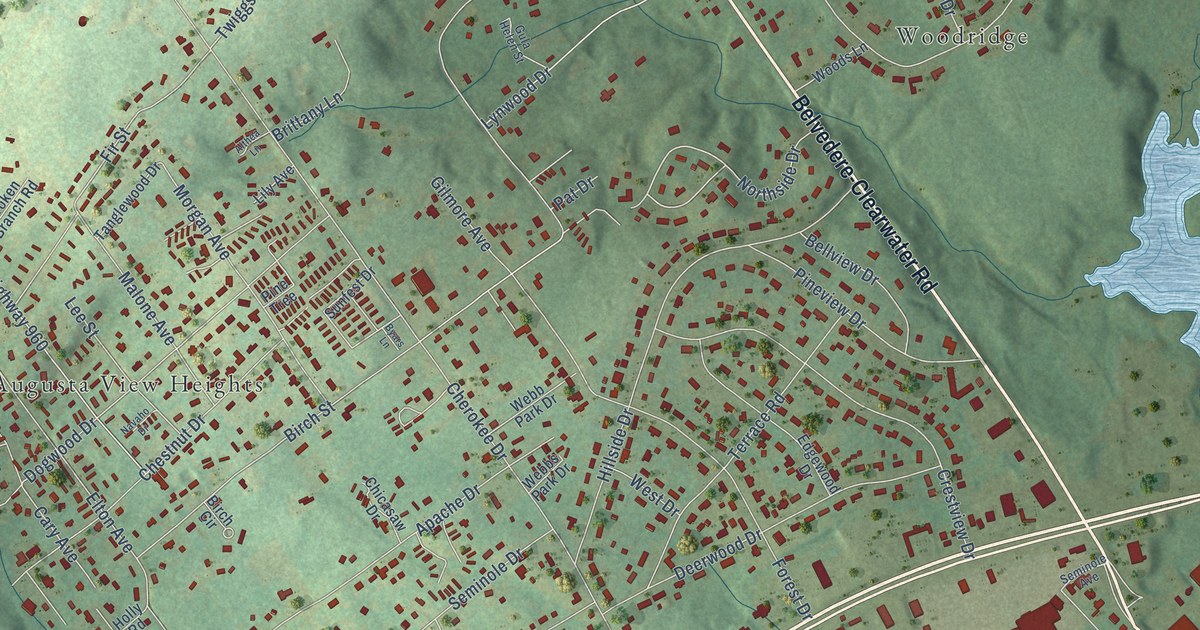
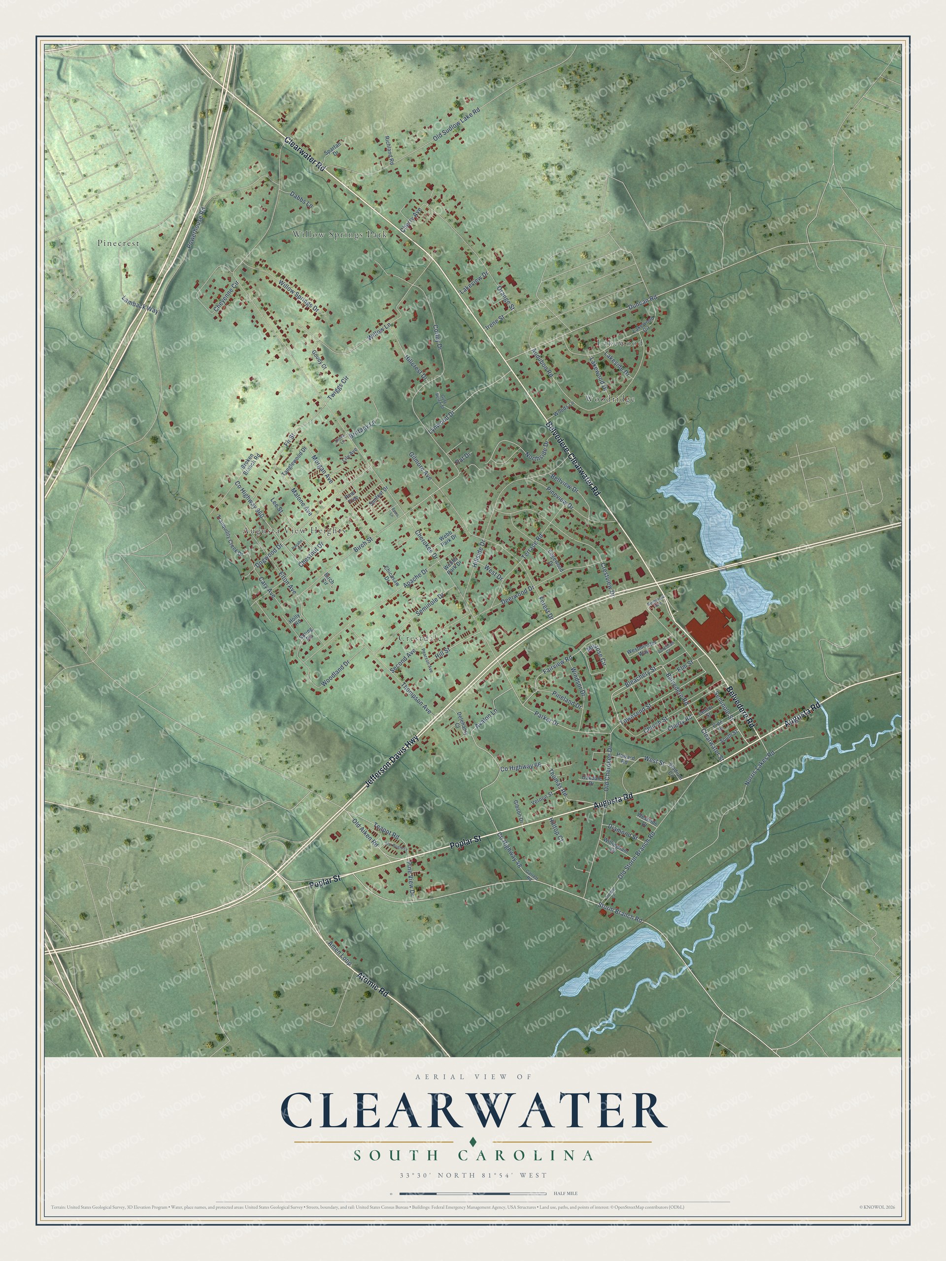
This beautifully detailed map of Clearwater, South Carolina was created in 2026 using aerial imagery combined with modern topographical, census, street and landmark data. It’s a one-of-a-kind view of Clearwater that combines accurate data with a vintage aesthetic. The map shows every building in its true location, many of the roads carry their names, and the shaded topographic relief shows the shape of the land.
Explore an aerial view of Clearwater, South Carolina
On the map you’ll find Woodridge, Crestdale, Pinecrest, Willow Springs Park, Augusta View Heights, and Lakewood, along with Jefferson Davis Highway, Poplar Street, Augusta Road, Clearwater Road, Belvedere-Clearwater Road, Atomic Road, and more. Clearwater sits about 3 miles southeast of Belvedere, 3 miles southwest of Burnettown and 3 miles southeast of North Augusta. If you look closely you can even find your house accurately drawn in its correct location. Zoom in on the preview to look for yours.
Did You Know?
The company had spent several years getting organized. In 1900 the Secretary of State gave a charter to the Clear Water Bleachery and Manufacturing Company, based in Aiken. Its backers were businessmen from Augusta. The Bamberg Herald reported that the plant would stand at Clearwater because of its good water.
Take a closer look at the Clearwater map
Names on this map
These names are printed on this map.
Places: Woodridge, Crestdale, Pinecrest, Willow Springs Park, Augusta View Heights and Lakewood.
Streets and roads: Jefferson Davis Highway, Poplar Street, Augusta Road, Clearwater Road, Belvedere-Clearwater Road, Atomic Road, Belvedere Road, Storm Branch Road, Bleachery Street, Seminole Street, Townsend Street, Parker Drive.
More street names, A to Z
Althea Lane, Amen Loop, Apache Drive, Audubon Road, Avalon Lane, Bellview Drive, Birch Circle, Birch Street, Brittany Lane, Broken Branch Road, Byars Lane, Cary Avenue, Center Street, Cherokee Drive, Cherry Avenue, Cherry Road, Chestnut Drive, Cheyenne Circle, Chicasaw Drive, Church Street, Clearwater Street, Corcoran Court, Corley Drive, County Highway 48, County Highway 66, County Highway 960, Crestview Drive, Dabbs Lane, Deerwood Drive, Delehanty Court, Diamond Street, Dogwood Drive, Dredge Court, Duncan Road, Edgewood Drive, Elm Street, Elton Avenue, Fairview Road, Fir Street, Forest Drive, Garrett Road, Gibson Drive, Gilmore Avenue, Goudy Court, Gula Helen Street, Hillcrest Drive, Hillside Drive, Hill Street, Hilltop Court, Holly Road, Howard Road, Irene Street, Lakeside Drive, Lakeview Drive, Lakewood Circle, Lakewood Drive, Lamback Way, Lee Street, Lily Avenue, Lynwood Drive, Malone Avenue, Millrose Circle, Morgan Avenue, Navaho Drive, Norris Lakes Road, Northside Drive, Oakdale Drive, Old Aiken Road, Old Cherokee Drive, Old Storm Branch Road, Old Sudlow Lake Road, Orange Street, Pat Drive, Pearson Avenue, Pineland Drive, Pine Street, Pine Tree, Pineview Drive, Pine View Drive, Powerhouse Road, Richland Road, Second Avenue, Seminole Avenue, Seminole Drive, South Street, Spartan Drive, Spring Road, Stadium Circle, Star Bright Lane, Sunfest Drive, Tanglewood Drive, Teapot Road, Terrace Road, Thomas Road, Thompson Avenue, Tranquility Creek Drive, Twiggs Circle, Vernon Street, Webb Park Drive, Webbs Park Drive, West Drive, Westminster Way, Westside Drive, West Street, Willingham Drive, Willow Lane, Willow Springs Drive, Windsor Drive, Woodland Drive, Woods Lane.
See it on a wall
The Clearwater map as a framed print. Swipe for more.


This beautifully detailed map of Clearwater makes an attractive addition to your office, library, or den, and it can even be used to teach children the geography and history of the area. It also makes a great gift for anyone who grew up in Clearwater or moved away. When you’re done exploring, click here to get your copy of the Clearwater map.