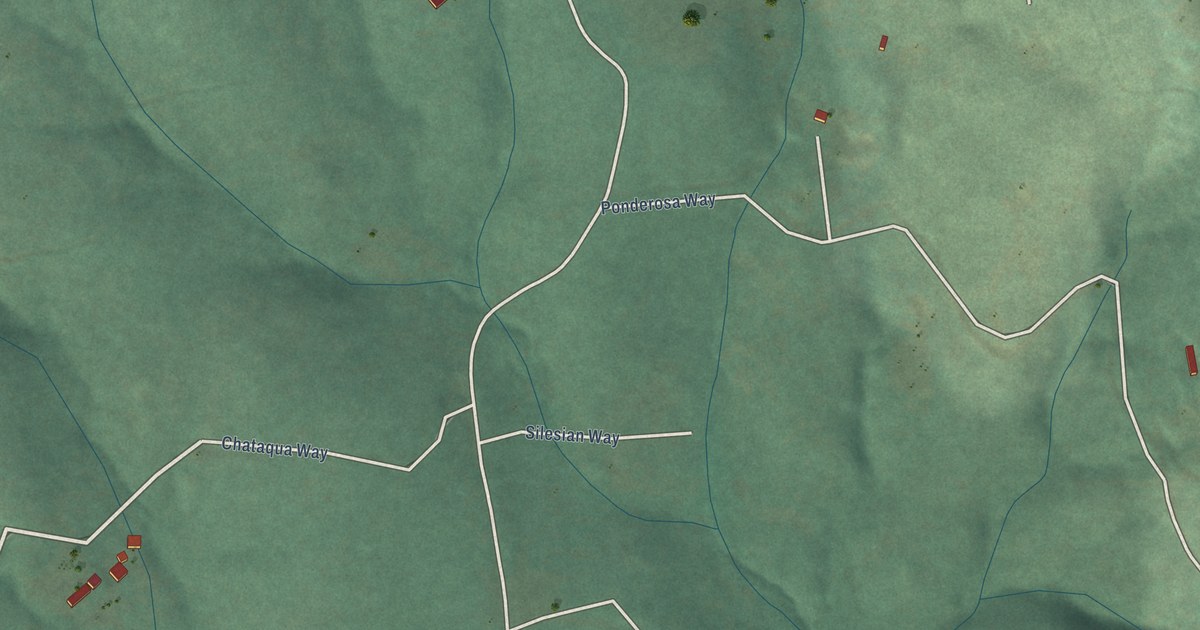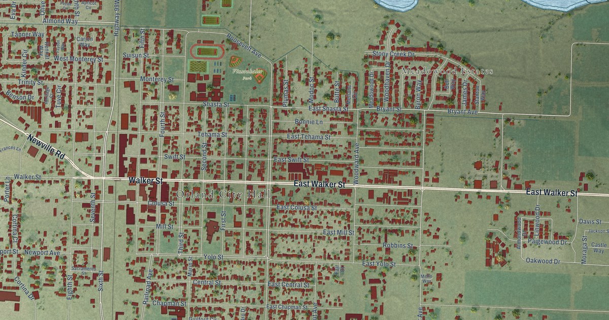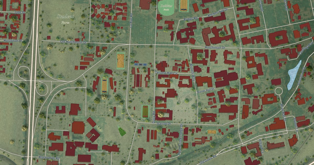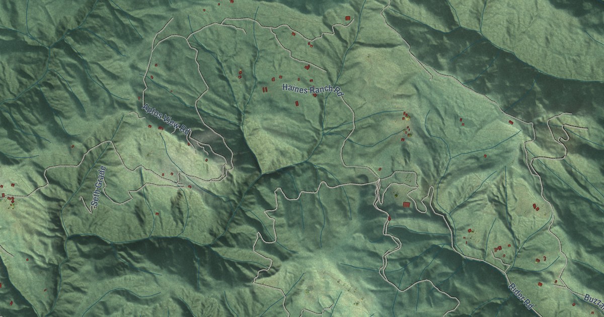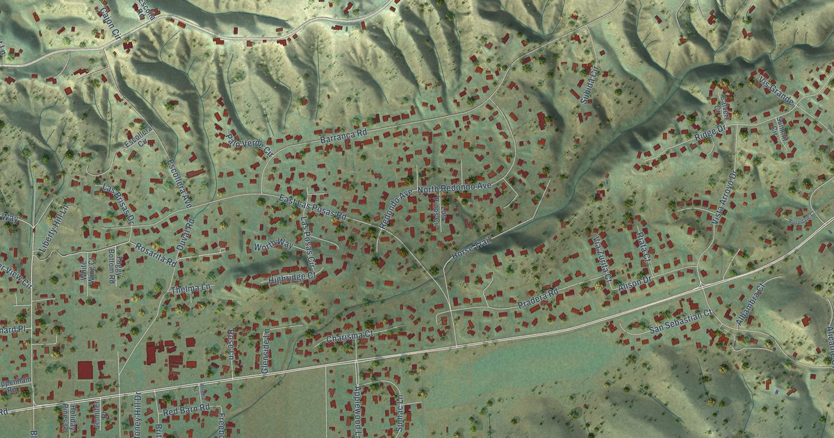
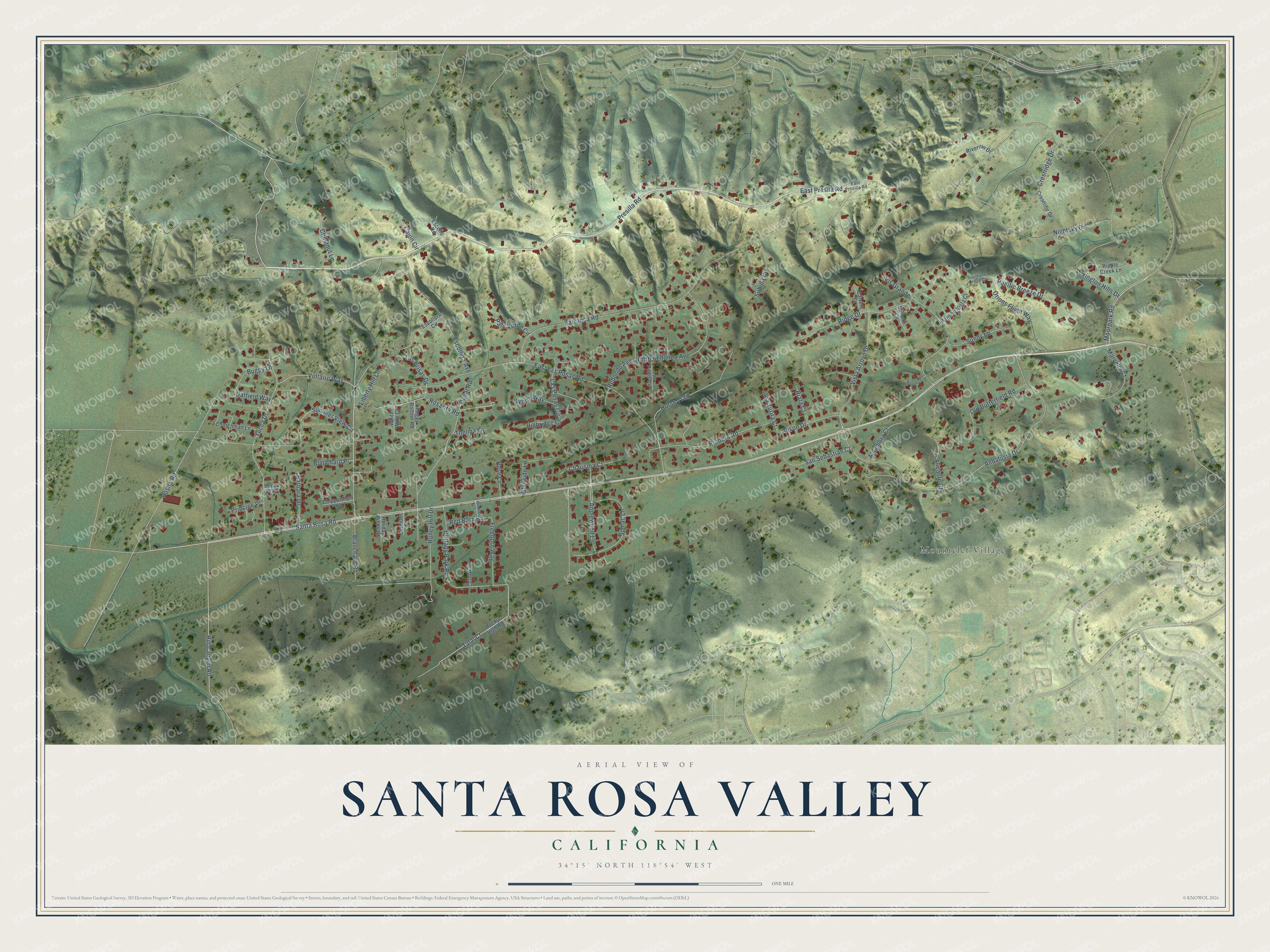
This beautifully detailed map of Santa Rosa Valley, California was created in 2026 using aerial imagery combined with modern topographical, census, street and landmark data. It's a modern aerial view of Santa Rosa Valley in Ventura County, California, that combines modern data with a vintage aesthetic. The roads feature printed names, and if you look closely you can find your exact house accurately shown in its correct location.
Explore an aerial view of Santa Rosa Valley, California
On this map you'll find Mountclef Village, Santa Rosa Road, Moorpark Road, Blanchard Road, Presilla Road, East Presila Road, Hill Canyon Road, Talal Court, Applewood Lane, Barbara Drive, Summer View Circle, Lexington Hills Drive, and more. Each red shape is a building, so zoom in on the preview and look for yours.
Santa Rosa Valley is a community in Ventura County. The Census Bureau counted 3,312 people here in 2020. Santa Rosa Valley sits about 3 miles southwest of Moorpark, 4 miles northwest of Thousand Oaks and 5 miles northeast of Casa Conejo. The map prints the town name in its title panel, with the coordinates below it.
Take a closer look at the Santa Rosa Valley map
Names on this map
These names are printed on this map.
Places: Mountclef Village.
Streets and roads: Santa Rosa Road, Moorpark Road, Blanchard Road, Presilla Road, East Presila Road, Hill Canyon Road, Talal Court, Applewood Lane, Barbara Drive, Summer View Circle, Lexington Hills Drive, Sumac Lane.
More street names, A to Z
Alhambra Court, Alicante Court, Alison Drive, Andalusia Drive, Arletta Lane, Barranca Road, Blanchard Place, Brittany Park Road, Buggy Lane, Cajon Circle, Calvert Court, Charisma Court, Chestnut Lane, Chippenham Road, Churchman Lane, Crestline Drive, Crestridge Drive, Duval Road, East Las Posas Road, East Presilla Road, Escolla Road, Escollera Avenue, Escollera Circle, Foggy Bottom Road, Freeborn Way, Glenside Lane, Highridge Court, Holiday Pines Lane, Honey Hill Drive, Horse Trail, Jennifer Place, Las Brisas Drive, Las Posas Circle, Liberty Hill Lane, Los Pinos Circle, Marvella Court, Mott Court, Nightsky Drive, North Redondo Avenue, Oatfield Way, Old Butterfield Road, Orions Flight Way, Pacific Breeze Drive, Palo Verde Circle, Pradera Road, Principe Place, Rancho Vista Court, Red Barn Road, Redondo Avenue, Riata Court, Ridge Drive, Ripple Creek Lane, Riverrun Drive, Rocky High Road, Rosarita Road, Rosedale Court, Rose Lane, Rosita Road, San Sebastian Court, Southern Cross Court, Subida Circle, Summit Circle, Sunny Lane, Thelma Lane, Via Zurita Court, Vis Grande, Vista Arroyo Drive, Voltaire Way, White Wing Court, Worth Way, Yucca Drive, Yucca Way.
See it on a wall
The Santa Rosa Valley map as a framed print. Swipe for more.


Created by KNOWOL in 2026. The buildings are small red shapes, the roads carry their printed names, and shaded relief shows the shape of the land. The title panel reads "AERIAL VIEW OF SANTA ROSA VALLEY, CALIFORNIA" with 34°15' NORTH 118°54' WEST.
Hang it in the hallway, the office or the cabin, or give it to someone who left Santa Rosa Valley and still calls it home. Open the preview and look for a street you know. See sizes and frames for the Santa Rosa Valley map.