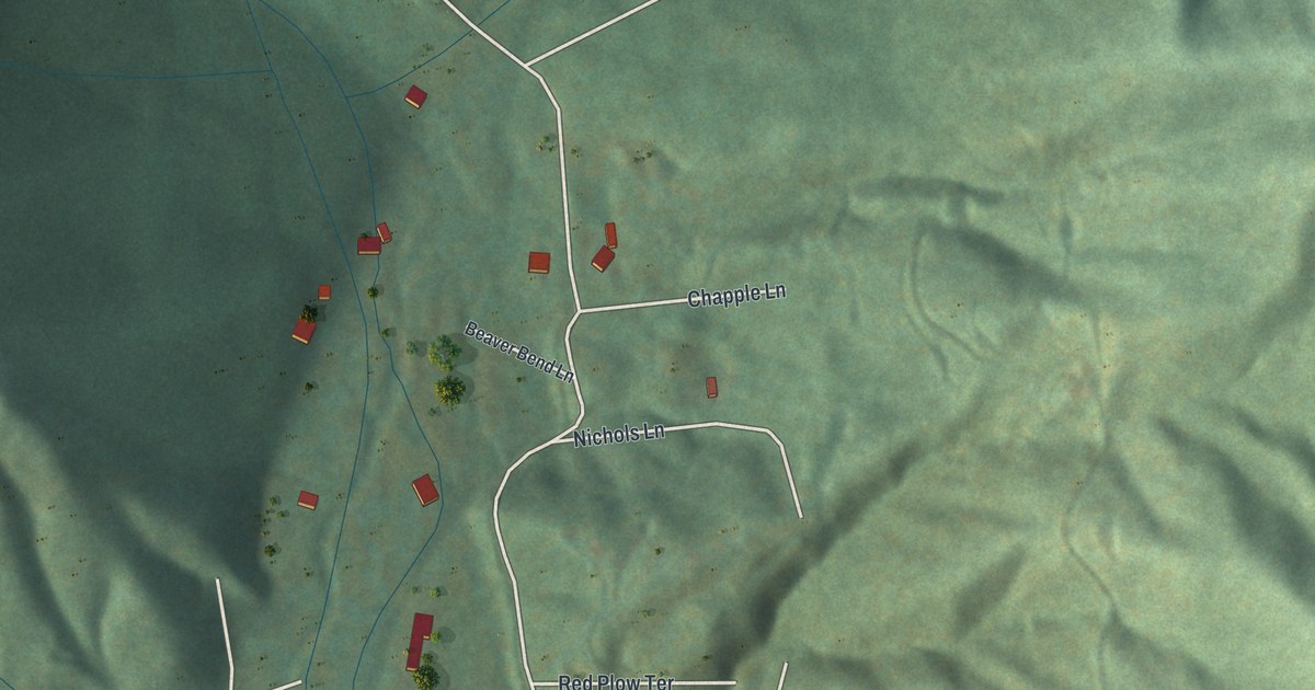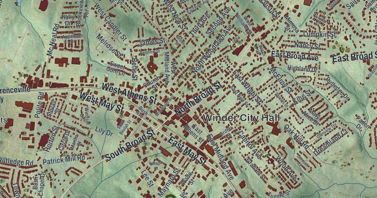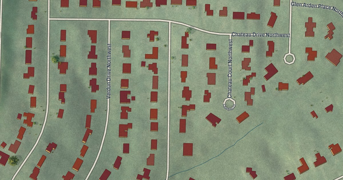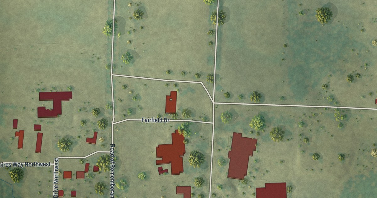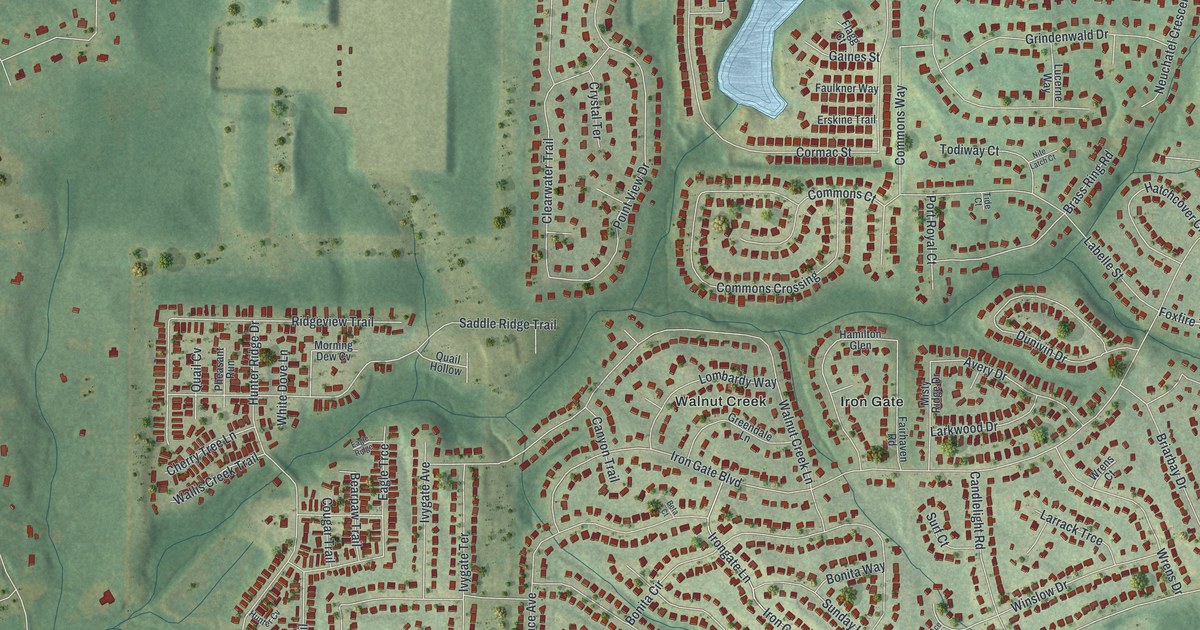
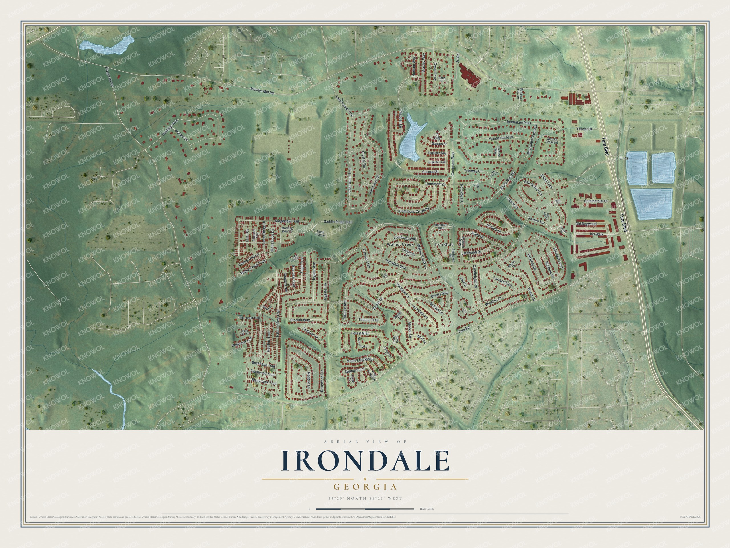
This beautifully detailed map of Irondale, Georgia was created in 2026 using aerial imagery combined with modern topographical, census, street and landmark data. It's a modern aerial view of Irondale in Clayton County, Georgia, that combines modern data with a vintage aesthetic. The roads feature printed names, and if you look closely you can find your exact house accurately shown in its correct location.
Explore an aerial view of Irondale, Georgia
On this map you'll find Iron Gate, Orrs, Walnut Creek, Tara Boulevard, Foxfire Terrace, Mundys Mill Road, Tara Road, Iron Gate Boulevard, Fitzgerald Road, Interlaken Pass, Hunter Ridge Drive, Falcon Crest Trail, and more. Each red shape is a building, so zoom in on the preview and look for yours.
Irondale is a community in Clayton County. The Census Bureau counted 8,740 people here in 2020. Irondale sits about 2 miles northwest of Bonanza, 3 miles south of Jonesboro and 4 miles northwest of Lovejoy. The map prints the town name in its title panel, with the coordinates below it.
Take a closer look at the Irondale map
Names on this map
These names are printed on this map.
Places: Iron Gate, Orrs and Walnut Creek.
Streets and roads: Tara Boulevard, Foxfire Terrace, Mundys Mill Road, Tara Road, Iron Gate Boulevard, Fitzgerald Road, Interlaken Pass, Hunter Ridge Drive, Falcon Crest Trail, Walnut Creek Lane, Point View Drive, Rosewood Circle.
More street names, A to Z
Ace Court, Almosa Lane, Aspenwood Court, Avery Drive, Bearpaw Trail, Beta Court, Blackhawk Trail, Bola Court, Bonita Circle, Bonita Way, Brass Ring Road, Braxley Way, Briarbay Drive, Briarbay Loop, Buckhead Trail, Candlelight Road, Canyon Trail, Cedar Knob, Chappell Lane, Cherry Cv, Cherry Tree Lane, Clearwater Trail, Commercial Court, Commons Court, Commons Crossing, Commons Way, Cormac Street, Cougar Trail, Crabtree Drive, Crystal Terrace, Curries Crossing, Dogwood Trail, Dunivin Drive, Eagle Ridge, Eagle Trce, Eastgate Road, Elk Forest Trail, Erskine Trail, Fairhaven Road, Faulkner Way, Fender Court, Flagg Court, Fleetwood Trail, Forest Glen, Gaines Street, Geneva Crescent, Greendale Lane, Grindenwald Drive, Hamilton Glen, Hastings Way, Hatchcover Circle, Hunter Cv, Hurtson Way, Iris Walk, Iron Gate Lane, Irongate Lane, Ivygate Avenue, Ivygate Terrace, Labelle Street, Lake Forest Trce, Larkwood Drive, Larrack Trce, Lombardy Way, Lucerne Way, Maple Leaf Ridge, Misty Ridge Drive, Morning Dew Cv, Neuchatel Crescent, Nite Latch Court, Old Dogwood, Orr Road, Owen Parkway, Pheasant Run, Pine Forest Lane, Pond Place, Port Royal Court, Quail Cv, Quail Hollow, Redbud Lane, Red Fox Trail, Ridgeview Trail, Roca Lane, Saddle Ridge Trail, Shasta Court, Silent Trail, Sinclair Way, Sourwood Court, Spruce Point, Sunday Lane, Surf Court, Terance Avenue, Tide Court, Tobano Trail, Todiway Court, Top Tree Court, Walden Drive, Wallis Creek Trail, White Dove Lane, White Oak Trail, Winslow Drive, Wisteria Lane, Wrens Court, Wrens Drive.
See it on a wall
The Irondale map as a framed print. Swipe for more.


Created by KNOWOL in 2026. The buildings are small red shapes, the roads carry their printed names, and shaded relief shows the shape of the land. The title panel reads "AERIAL VIEW OF IRONDALE, GEORGIA" with 33°29' NORTH 84°21' WEST.
Hang it in the hallway, the office or the cabin, or give it to someone who left Irondale and still calls it home. Open the preview and look for a street you know. See sizes and frames for the Irondale map.