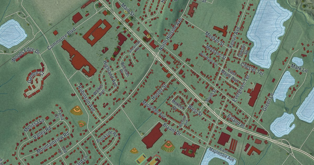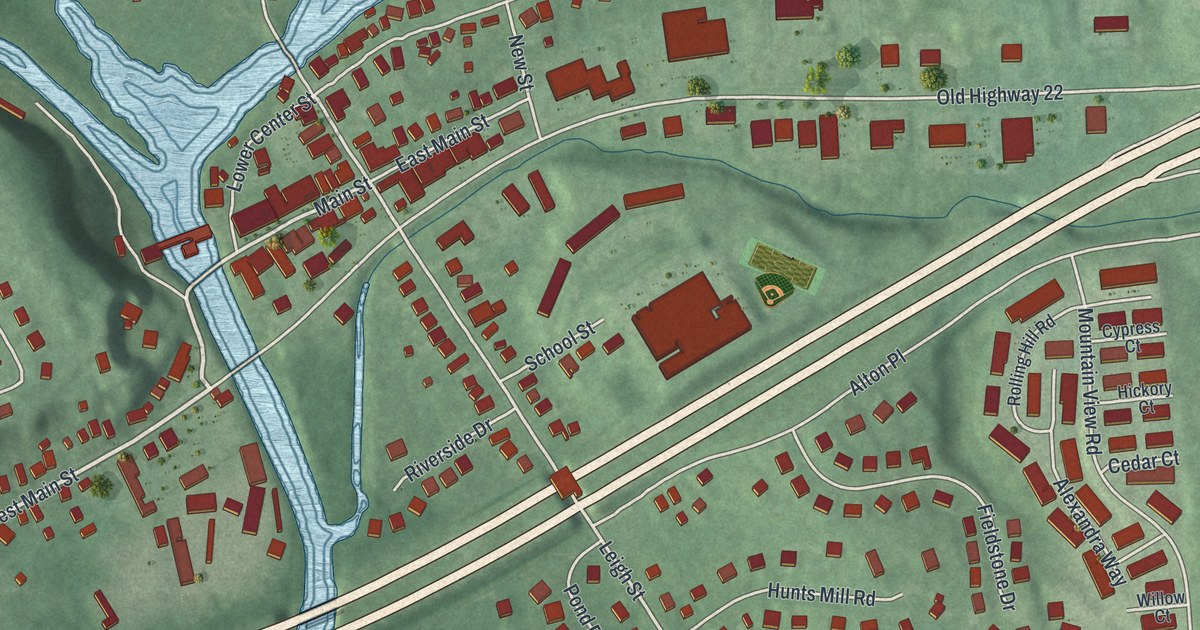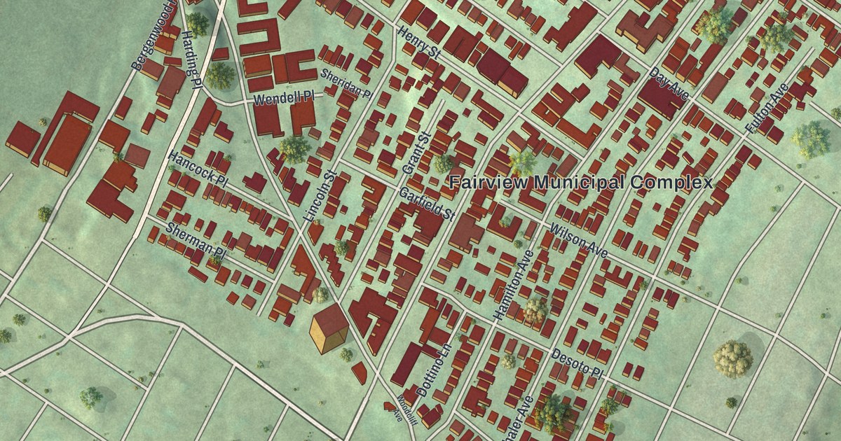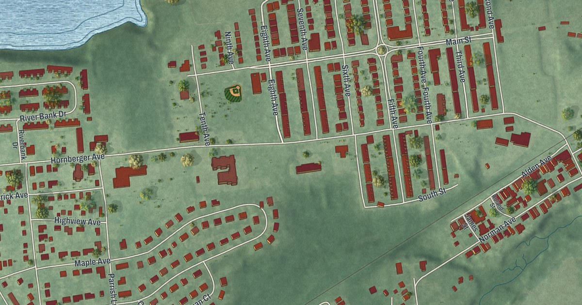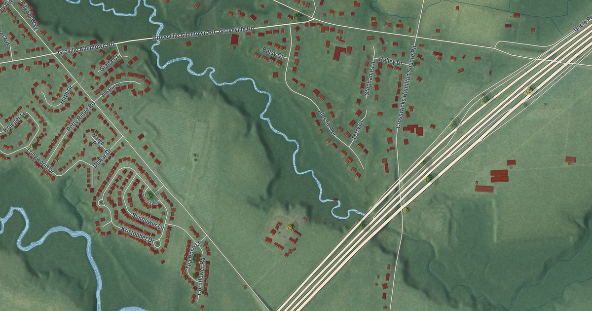
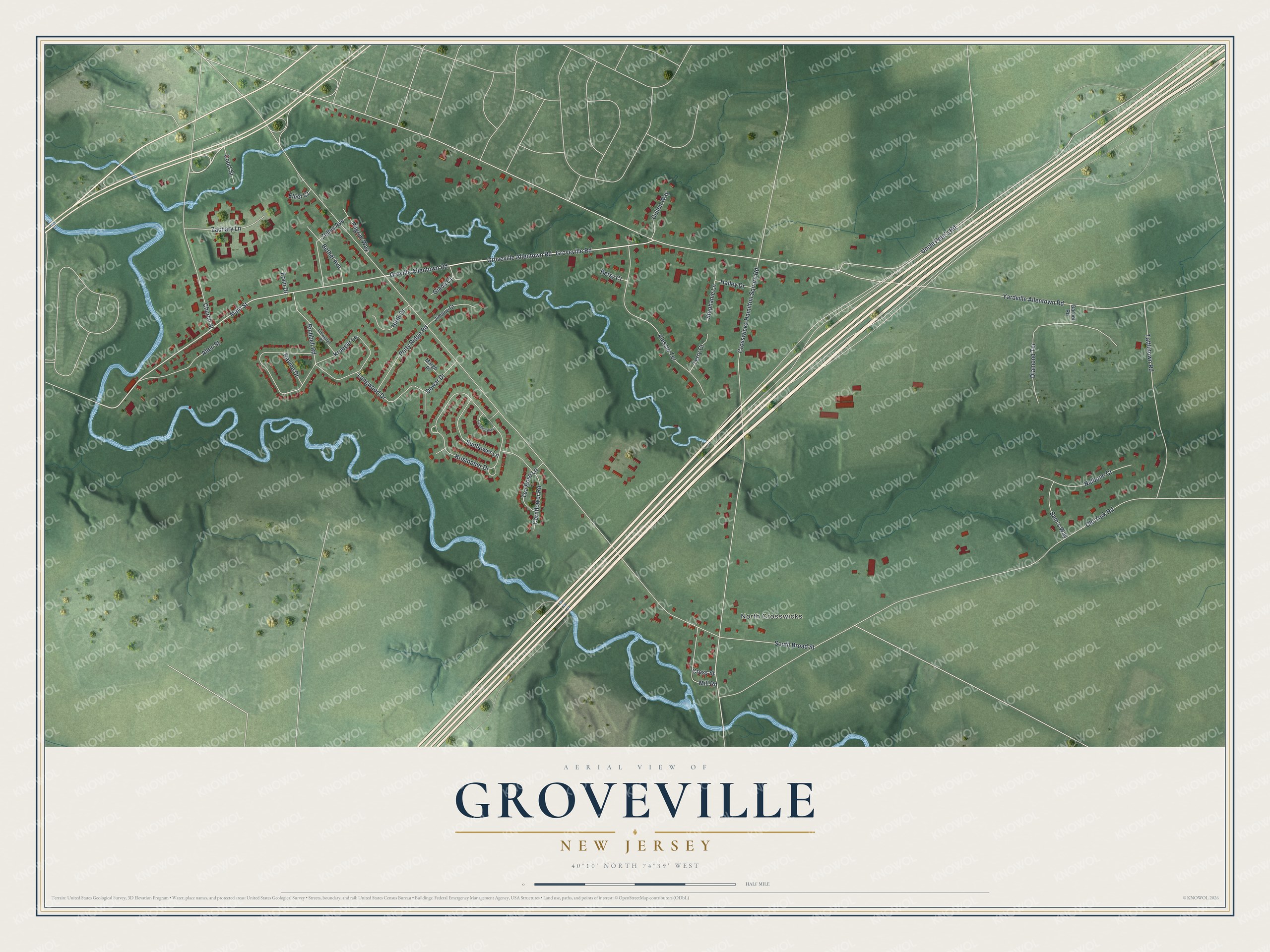
Groveville is a community of 3,106 in Mercer County, New Jersey. This beautifully detailed map of Groveville, New Jersey was created in 2026 using aerial imagery combined with modern topographical, census, street and landmark data. It's a modern aerial view of Groveville in Mercer County, New Jersey, that combines modern data with a vintage aesthetic. The roads feature printed names, and if you look closely you can find your exact house accurately shown in its correct location.
Explore an aerial view of Groveville, New Jersey
On this map you'll find North Crosswicks, Groveville Road, Main Street, Groveville Allentown Road, Church Street, Yardville Allentown Road, South Broad Street, Old York Road, Crosswicks Hamilton Square Road, Longwood Drive, Kristopher Drive, Tattletown Road, and more. Each red shape is a building, so zoom in on the preview and look for yours.
Groveville has a story worth telling. Groveville was settled early, and its first name was Locust Grove. In 1821 George Green and Churchill Huston bought almost all of the hamlet from John Longstreet and built a mill three stories high and 120 feet long, to make satinets. It held fifty power looms. The mill gave work to about fifty people until it burned in 1837, along with the saw and grist mill. That's from the 1954 history of Hamilton Township.
Groveville is a community in Mercer County. The Census Bureau counted 3,106 people here in 2020. Groveville sits about 2 miles north of Crosswicks, 3 miles southeast of White Horse and 3 miles west of Allentown. The map prints the town name in its title panel, with the coordinates below it.
Take a closer look at the Groveville map
Names on this map
These names are printed on this map.
Places: North Crosswicks.
Streets and roads: Groveville Road, Main Street, Groveville Allentown Road, Church Street, Yardville Allentown Road, South Broad Street, Old York Road, Crosswicks Hamilton Square Road, Longwood Drive, Kristopher Drive, Tattletown Road, Alessio Terrace.
More street names, A to Z
Allen Street, Bethel Avenue, Betsy Court, Cornflower Road, Court Street, Cross Street, Cullen Way, Cynthia Way, Dewar Drive, Diamond Terrace, Elliot Court, Ervin Drive, Garnet Road, Giada Court, Groville Allentown Road, Halley Drive, Hirth Drive, Jimarie Court, Krueger Lane, Llewellyn Place, Margo Place, Mill Road, Nalbone Court, Petty Ridge Road, Pilgrim Way, Ravine Drive, Richbell Road, Sam's Way, Stephanie Lane, Sunflower Lane, Tea Rose Lane, Terry Court, Uncle Pete's Road, Zachary Lane, Zelley Avenue.
See it on a wall
The Groveville map as a framed print. Swipe for more.


Created by KNOWOL in 2026. The buildings are small red shapes, the roads carry their printed names, and shaded relief shows the shape of the land. The title panel reads "AERIAL VIEW OF GROVEVILLE, NEW JERSEY" with 40°10' NORTH 74°39' WEST.
It looks right in a kitchen, an office or a den, and it's a gift for anyone who grew up in Groveville or moved away. Open the preview and find your street. See sizes and frames for the Groveville map.