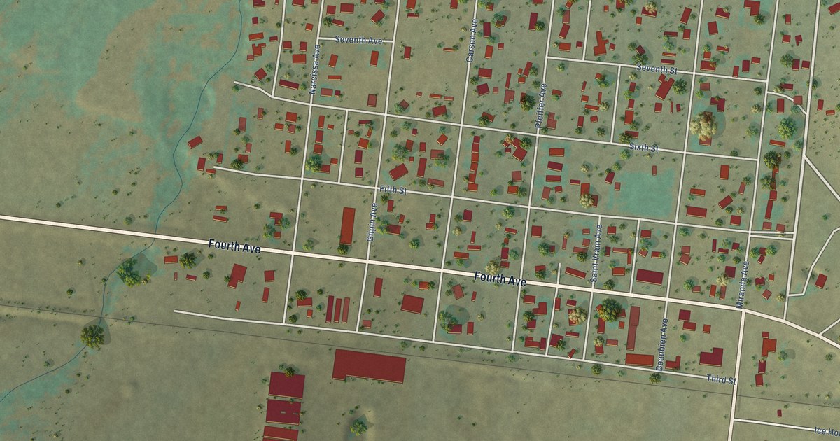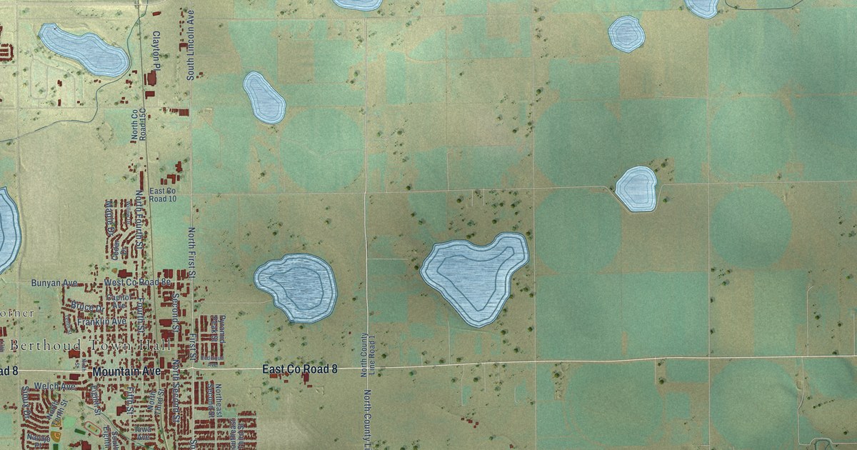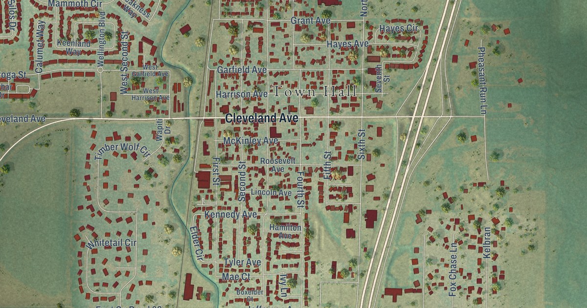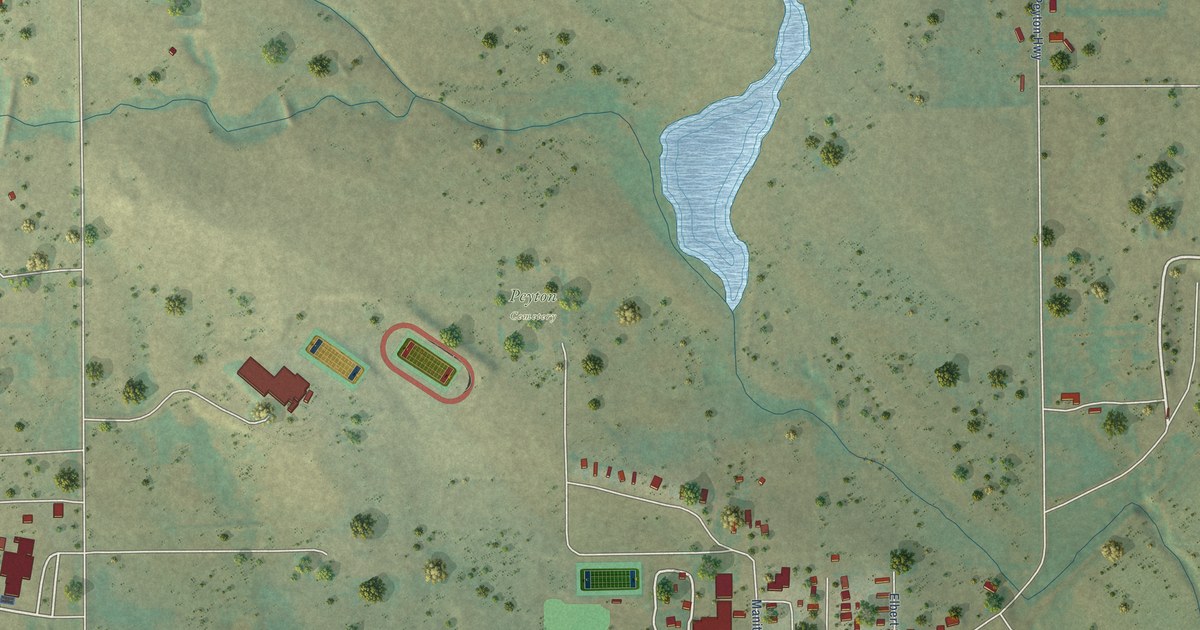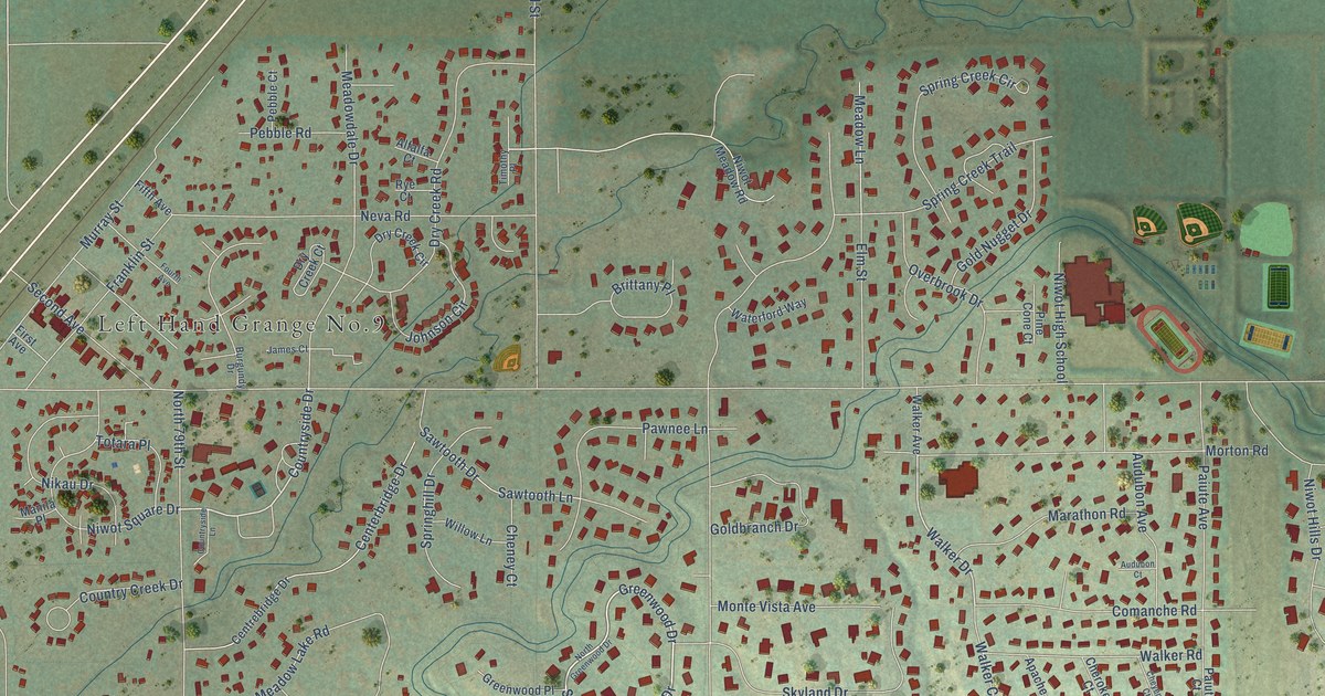
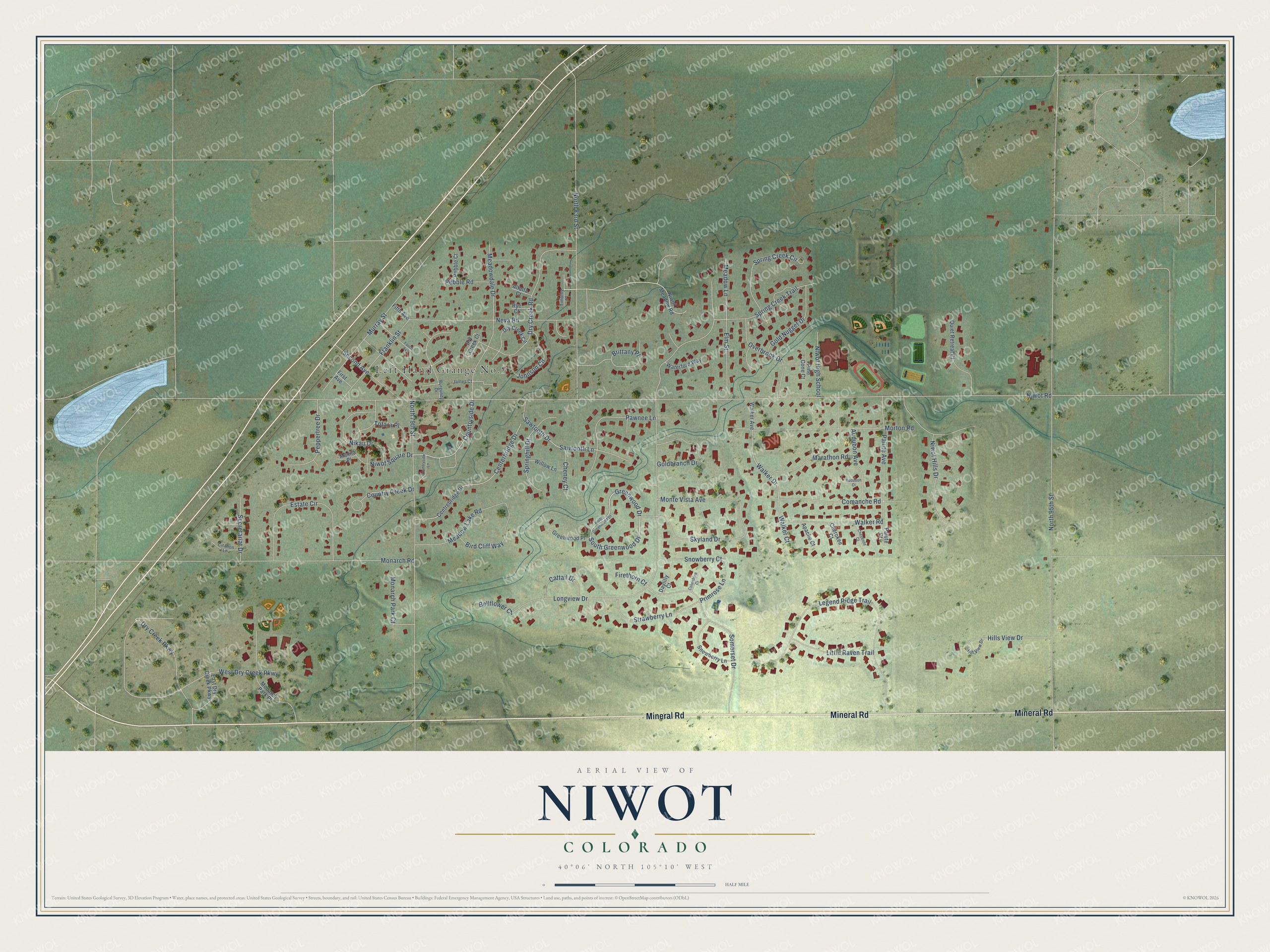
This beautifully detailed map of Niwot, Colorado was created in 2026 using aerial imagery combined with modern topographical, census, street and landmark data. It's a modern aerial view of Niwot in Boulder County, Colorado, that combines modern data with a vintage aesthetic. The roads feature printed names, and if you look closely you can find your exact house accurately shown in its correct location.
Explore an aerial view of Niwot, Colorado
On this map you'll find Mineral Road, South Greenwood Drive, Countryside Drive, Walker Drive, Niwot Road, North 95th Street, Longview Drive, North 83rd Street, North 79th Street, West Dry Creek Parkway, Legend Ridge Trail, Monarch Road, and more. Each red shape is a building, so zoom in on the preview and look for yours.
Every town has a first chapter, and Niwot is no exception. The Niwot Business Association puts it this way: "The town of Niwot was named for Chief Niwot, an Arapaho leader, whose people were hunting and fishing along the Front Range when the first gold miners arrived in 1858." Niwot means Left Hand in the Arapaho language. The town was platted in 1875, two years after the Colorado Central Railroad built its tracks northeast from Boulder.
Niwot is a community in Boulder County. The Census Bureau counted 4,306 people here in 2020.
Take a closer look at the Niwot map
Names on this map
These names are printed on this map.
Places: Left Hand Grange No.9.
Streets and roads: Mineral Road, South Greenwood Drive, Countryside Drive, Walker Drive, Niwot Road, North 95th Street, Longview Drive, North 83rd Street, North 79th Street, West Dry Creek Parkway, Legend Ridge Trail, Monarch Road.
More street names, A to Z
Alfalfa Court, Apache Court, Audubon Avenue, Audubon Court, Bellflower Court, Bird Cliff Way, Brittany Place, Burgundy Drive, Cattail Drive, Centerbridge Drive, Centrebridge Drive, Cheney Court, Cherokee Court, Cheyenne Court, Citation Lane, Columbine Court, Comanche Road, Country Creek Drive, Countryside Lane, Daylilly Court, Dry Creek Circle, Dry Creek Court, Dry Creek Parkway, Dry Creek Road, East Dry Creek Parkway, Elm Street, Estate Circle, Fifth Avenue, Firethorn Court, First Avenue, Fourth Avenue, Franklin Street, Goldbranch Drive, Gold Nugget Drive, Greenwood Drive, Greenwood Place, Hills View Drive, Hill View Drive, James Court, Johnson Circle, Little Raven Trail, Manila Place, Marathon Road, Meadowdale Drive, Meadow Lake Road, Meadow Lane, Monarch Park Court, Monarch Park Place, Monte Vista Avenue, Morton Road, Murray Street, Neva Road, Nikau Drive, Niwot High School, Niwot Hills Drive, Niwot Meadow Road, Niwot Square Drive, North Greenwood Drive, Overbrook Drive, Paiute Avenue, Paiute Court, Pawnee Lane, Pebble Court, Pebble Road, Peppertree Drive, Pine Cone Court, Primrose Lane, Quiet Retreat Court, Rye Court, Sawtooth Drive, Sawtooth Lane, Second Avenue, Secretariat Drive, Skyland Drive, Snowberry Court, Snowberry Lane, Somerset Drive, Spring Creek Circle, Spring Creek Trail, Springhill Drive, Strawberry Lane, Timothy Place, Totara Place, Walker Avenue, Walker Court, Walker Road, Waterford Way, Willow Lane.
See it on a wall
The Niwot map as a framed print. Swipe for more.


Created by KNOWOL in 2026. The buildings are small red shapes, the roads carry their printed names, and shaded relief shows the shape of the land. The title panel reads "AERIAL VIEW OF NIWOT, COLORADO" with 40°06' NORTH 105°10' WEST.
Hang it in the hallway, the office or the cabin, or give it to someone who left Niwot and still calls it home. Open the preview and look for a street you know. See sizes and frames for the Niwot map.