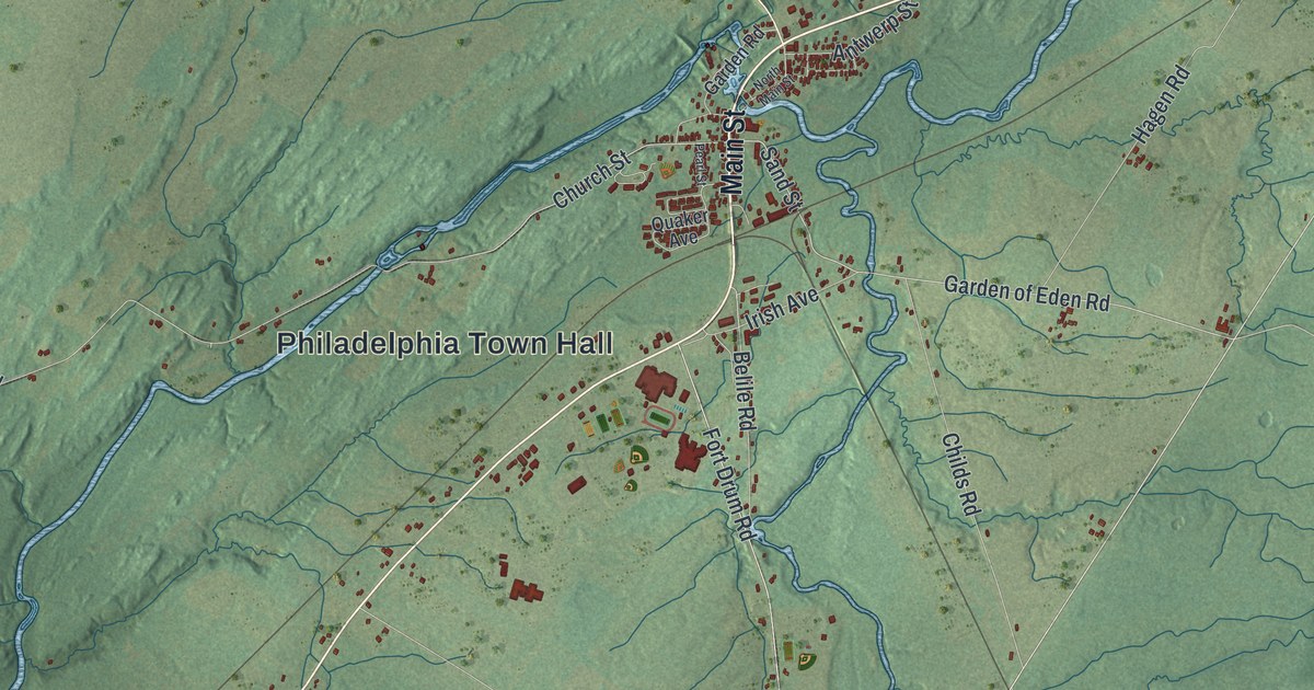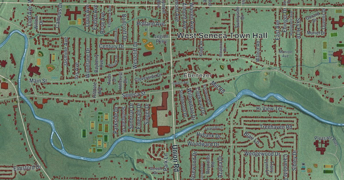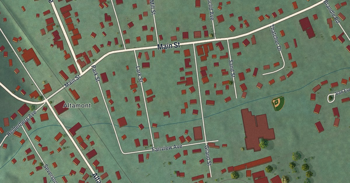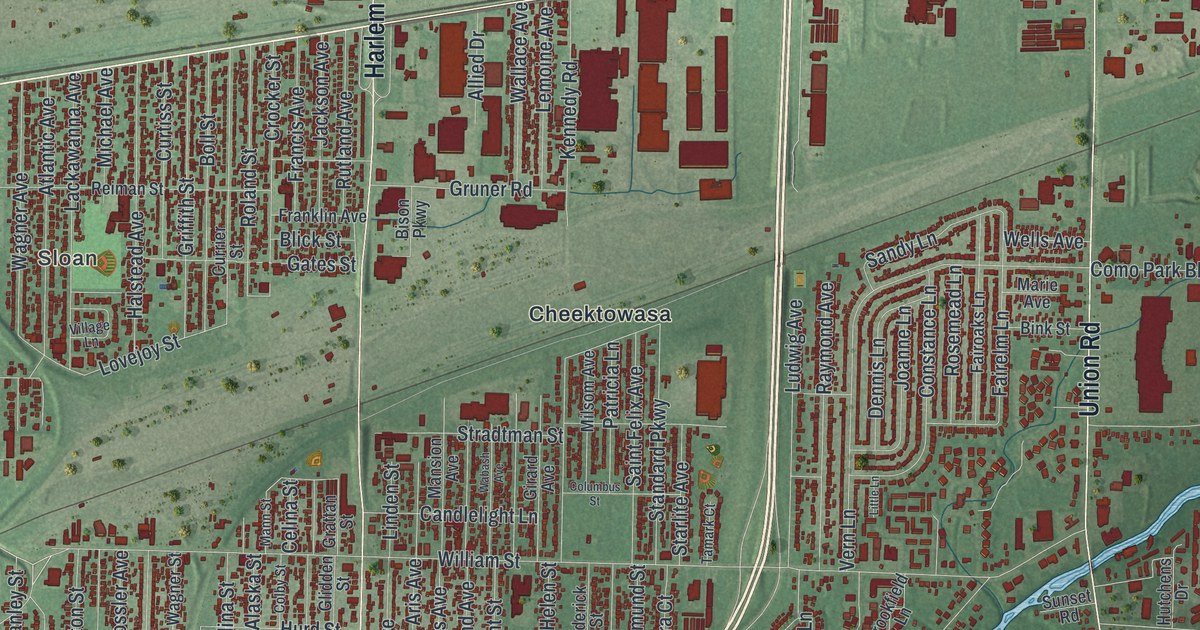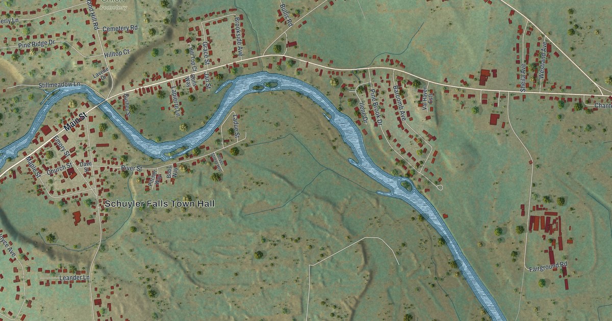
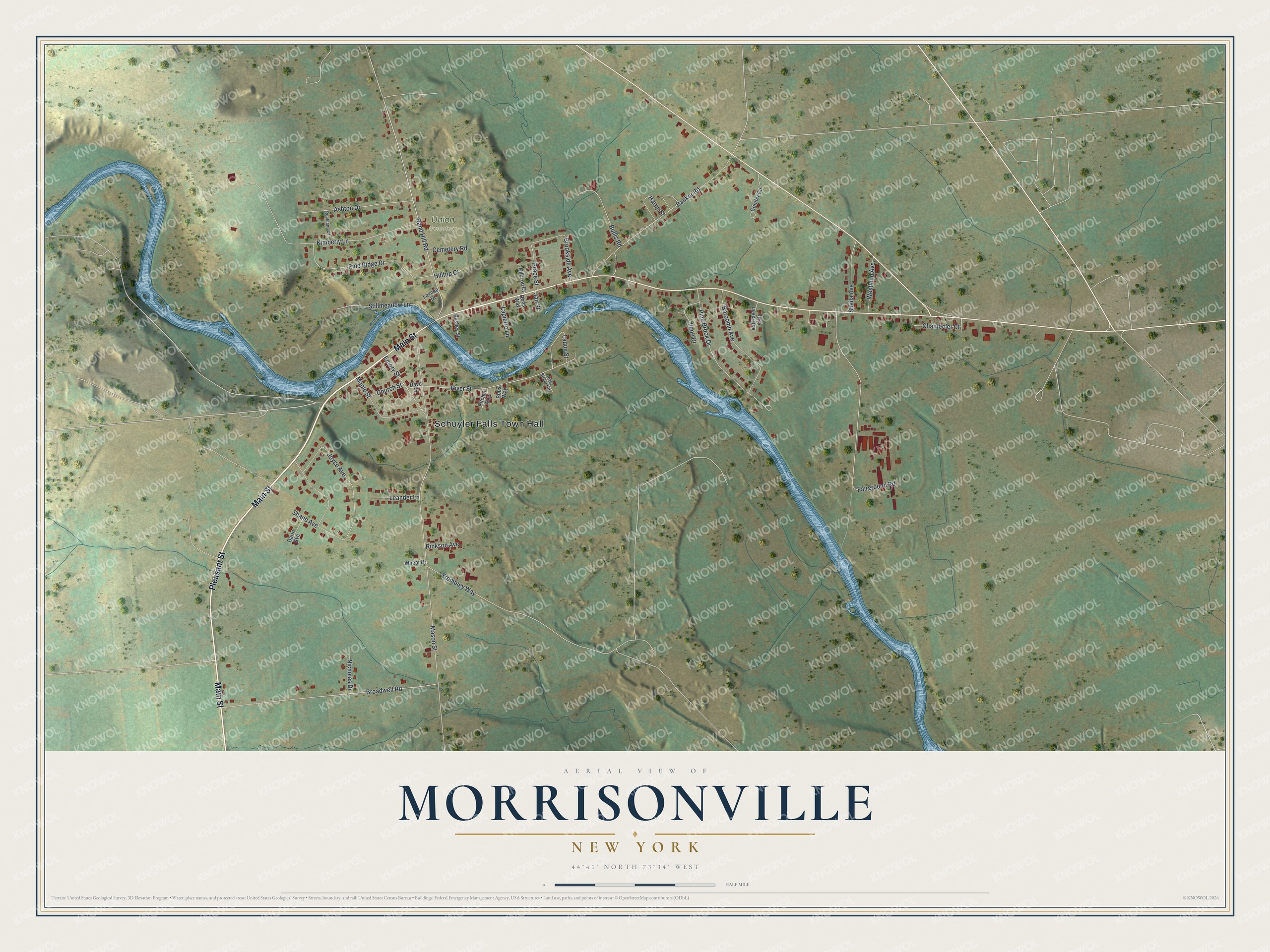
This beautifully detailed map of Morrisonville, New York was created in 2026 using aerial imagery combined with modern topographical, census, street and landmark data. It's a modern aerial view of Morrisonville in Clinton County, New York, that combines modern data with a vintage aesthetic. The roads feature printed names, and if you look closely you can find your exact house accurately shown in its correct location.
Explore an aerial view of Morrisonville, New York
On this map you'll find Schuyler Falls Town Hall, Union Cemetery, Main Street, Pleasant Street, Chantecler Court, Ladue Street, Mason Street, Joyce Avenue, Fairground Road, Broadwell Road, Rand Hill Road, Kimberly Lane, and more. Each red shape is a building, so zoom in on the preview and look for yours.
Morrisonville is a community in Clinton County. The Census Bureau counted 1,893 people here in 2020. Morrisonville sits about 3 miles west of Plattsburgh West, 5 miles east of Cadyville and 5 miles west of Plattsburgh. The map prints the town name in its title panel, with the coordinates below it.
Take a closer look at the Morrisonville map
Names on this map
These names are printed on this map.
Places: Schuyler Falls Town Hall and Union Cemetery.
Streets and roads: Main Street, Pleasant Street, Chantecler Court, Ladue Street, Mason Street, Joyce Avenue, Fairground Road, Broadwell Road, Rand Hill Road, Kimberly Lane, Trombley Way, Banker Road.
More street names, A to Z
Ashton Drive, Barcomb Avenue, Bobs Way, Brookside Avenue, Bullis Road, Bushey Street, Cemetery Road, Church Street, Conifer Circle, Darin Avenue, Dave Street, Emory Street, Grace Street, Harpp Street, Hilltop Court, Hill Top Court, Ilene Drive, Jan Street, Lapierre Lane, Lavene Drive, Leander Lane, Maple Street, Nicholas Drive, Pine Brook Drive, Pine Ridge Drive, Pitcher Way, Rickson Avenue, River Street, River Street Heights, Rockland Drive, Rons Way, Shane Avenue, Sheila Avenue, Stillmeadow Lane, Val Haven Ests, Westland Avenue, Wheat Drive.
See it on a wall
The Morrisonville map as a framed print. Swipe for more.


Created by KNOWOL in 2026. The buildings are small red shapes, the roads carry their printed names, and shaded relief shows the shape of the land. The title panel reads "AERIAL VIEW OF MORRISONVILLE, NEW YORK" with 44°41' NORTH 73°34' WEST.
It looks right in a kitchen, an office or a den, and it's a gift for anyone who grew up in Morrisonville or moved away. Open the preview and find your street. See sizes and frames for the Morrisonville map.