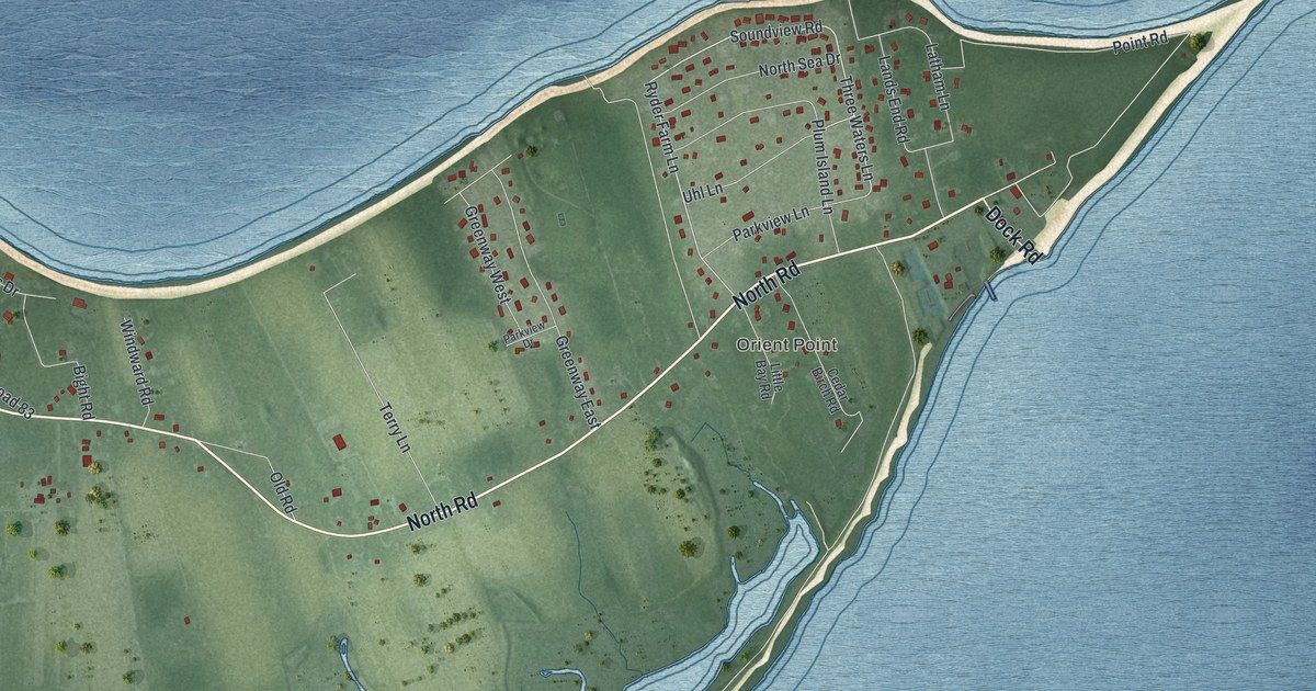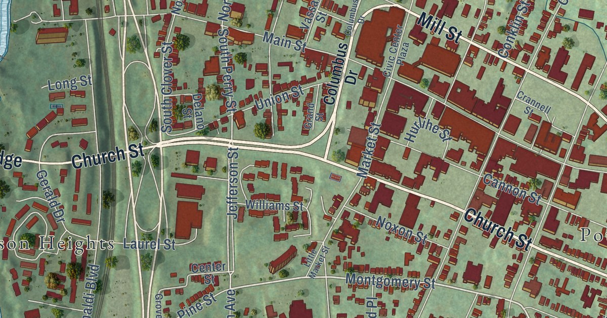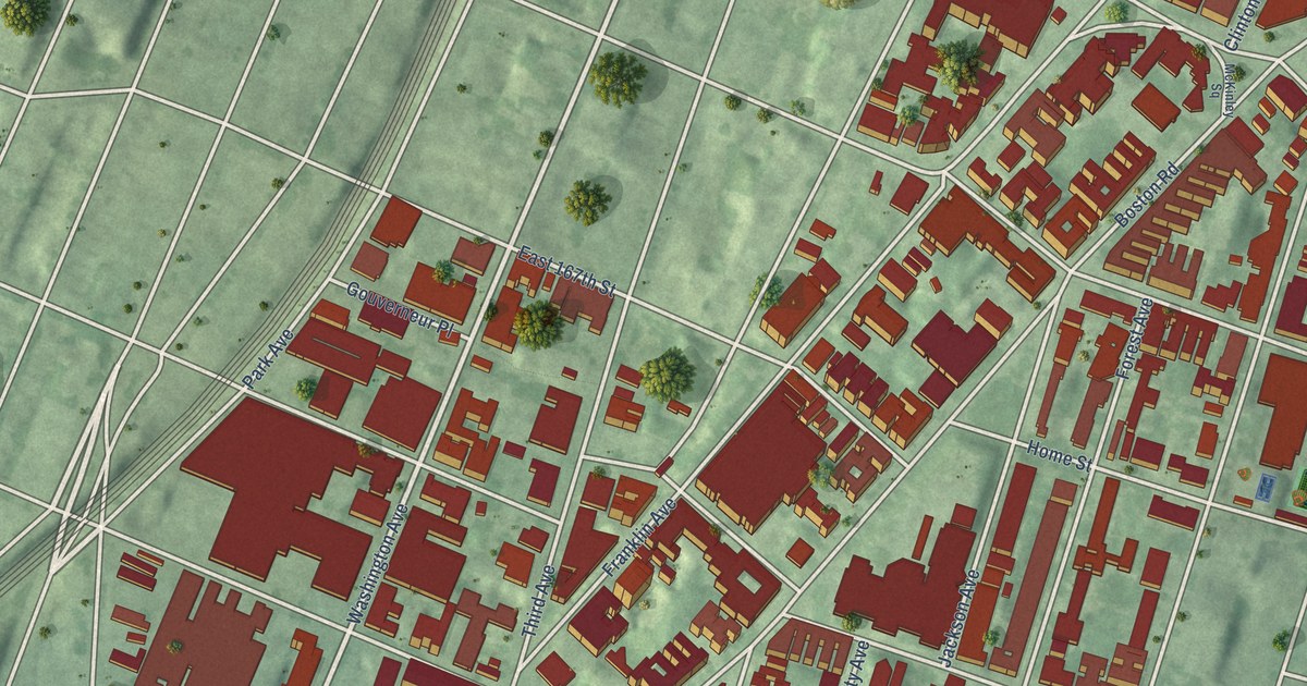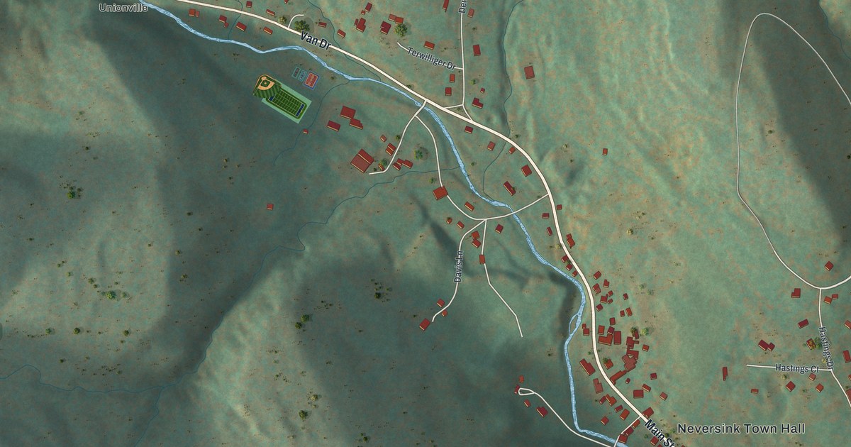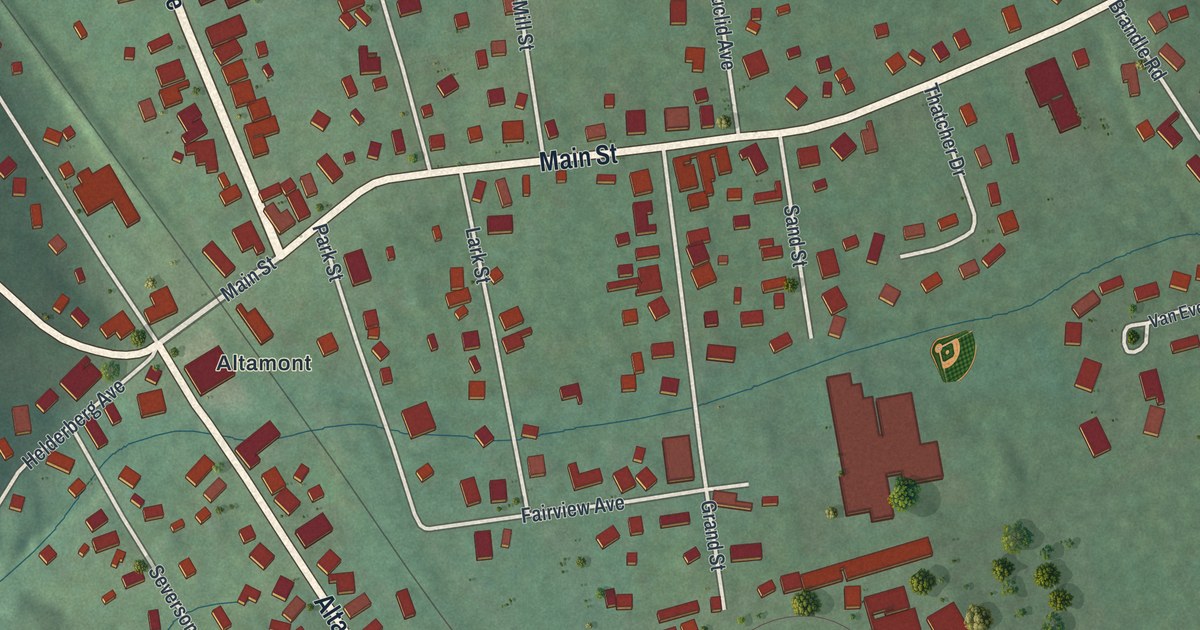
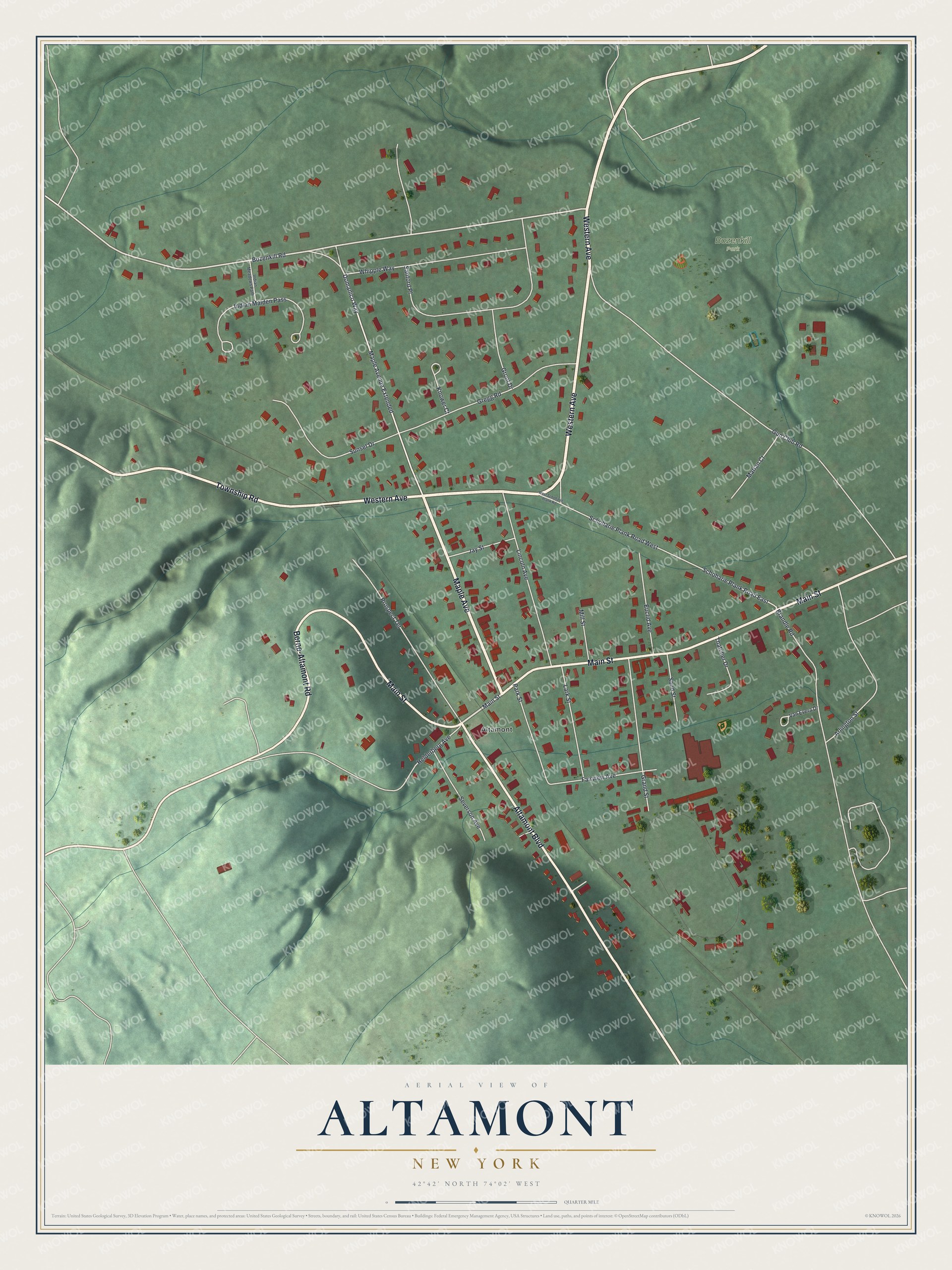
This beautifully detailed map of Altamont, New York was created in 2026 using aerial imagery combined with modern topographical, census, street and landmark data. It’s a one-of-a-kind view of Altamont that combines accurate data with a vintage aesthetic. The map shows every building in its true location, many of the roads carry their names, and the shaded topographic relief shows the shape of the land.
Explore an aerial view of Altamont, New York
On the map you’ll find Bozenkill Park, along with Maple Avenue, Western Avenue, Township Road, Altamont Boulevard, Main Street, and more. If you look closely you can even find your house accurately drawn in its correct location. Zoom in on the preview to look for yours.
Did You Know?
Altamont began in the early 1800s as Knowersville, a settlement just below the Helderberg Mountains. It later took the name Altamont, which means high mountain. Trains once brought summer visitors to the village. Its fair has been held at the local fairgrounds every year since 1893.
Take a closer look at the Altamont map
Names on this map
These names are printed on this map.
Places: Bozenkill Park and Altamont.
Streets and roads: Maple Avenue, Western Avenue, Township Road, Altamont Boulevard, Main Street, Berne-Altamont Road, Maple Avenue Extended, Bozenkill Road, Domanico Way, Schoharie Plank Road East, Sanford Place, Helderberg Avenue.
More street names, A to Z
Arlington Street, Brandle Road, Euclid Avenue, Fairview Avenue, Grand Street, Gregg Road, Groot Drive, Gun Club Road, Indian Maiden Pass, Indian Meadows Path, Jay Street, Knower Court, Lark Street, Lincoln Avenue, Marian Court, Mill Street, Park Street, Prospect Terrace, Sand Street, Schoharie Plank Road West, Severson Avenue, Sunset Drive, Thatcher Drive, Van Evera Drive, West Schoharie Plank Road, Whipple Way.
See it on a wall
The Altamont map as a framed print. Swipe for more.


This beautifully detailed map of Altamont makes an attractive addition to your office, library, or den, and it can even be used to teach children the geography and history of the area. It also makes a great gift for someone who left Altamont and still calls it home. When you’re done exploring, click here to get your copy of the Altamont map.