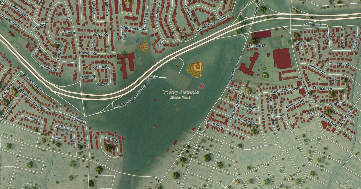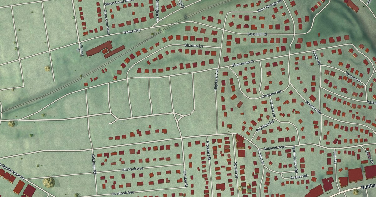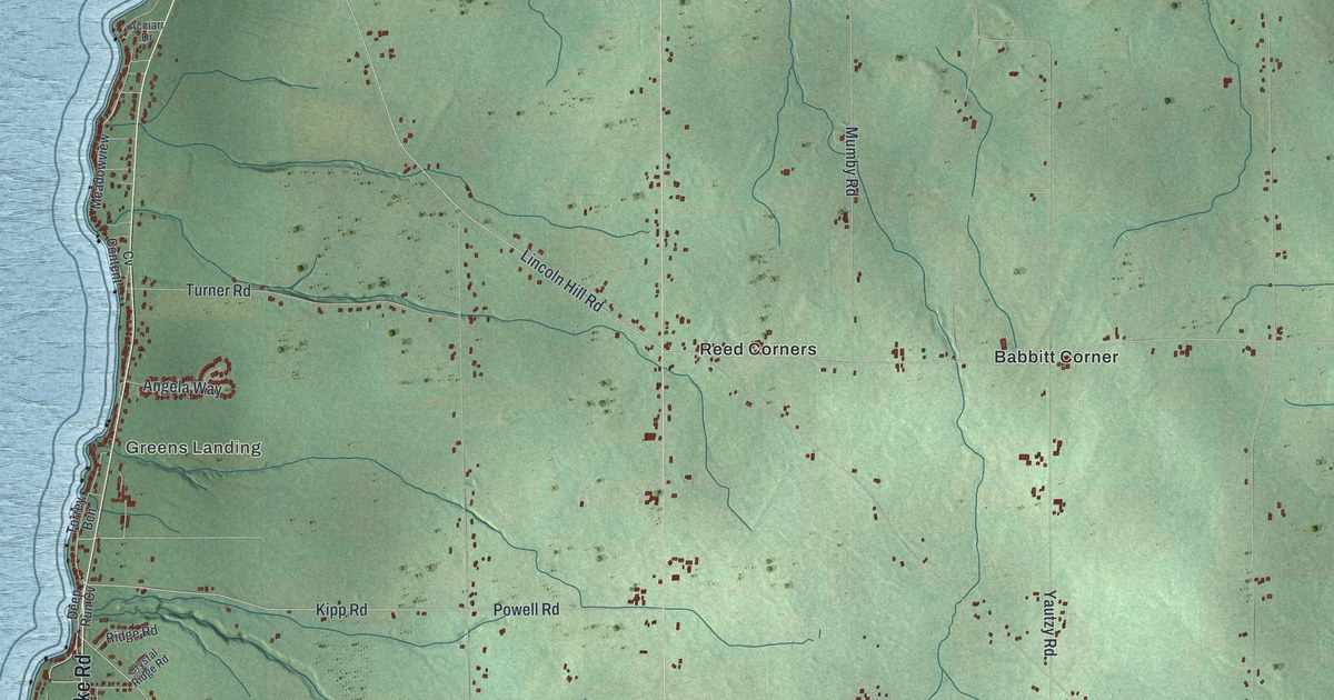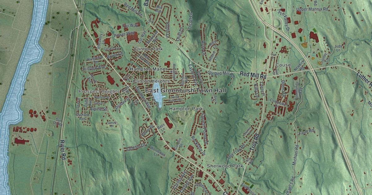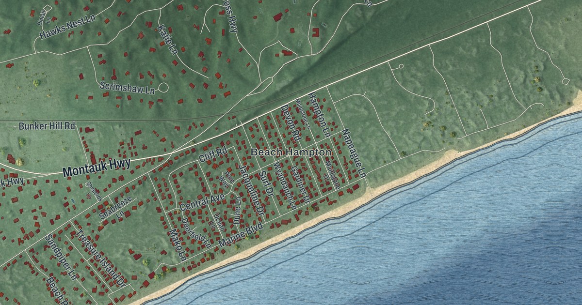
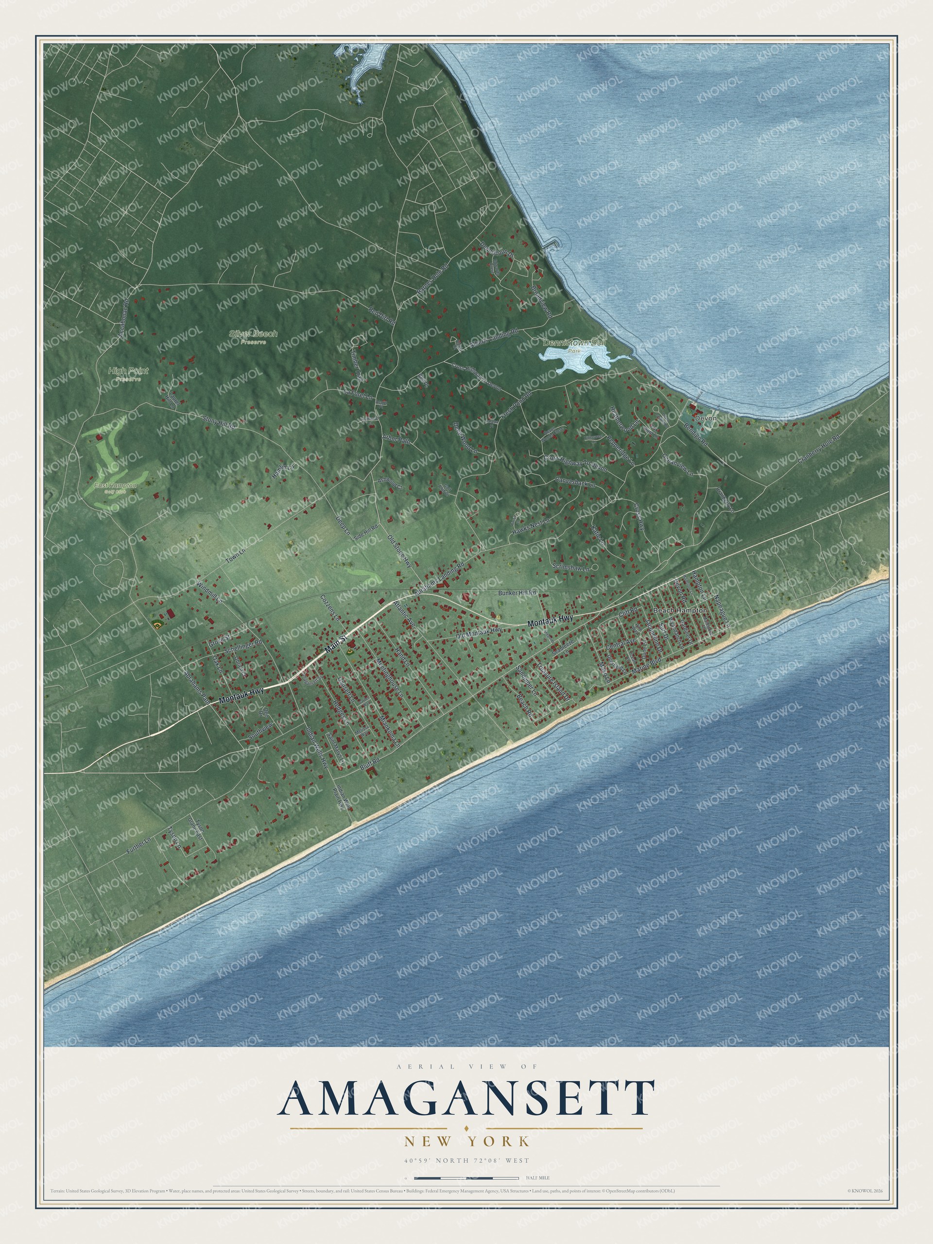
This beautifully detailed map of Amagansett, New York was created in 2026 using aerial imagery combined with modern topographical, census, street and landmark data. It’s a one-of-a-kind view of Amagansett that combines accurate data with a vintage aesthetic. The map shows every building in its true location, many of the roads carry their names, and the shaded topographic relief shows the shape of the land.
Explore an aerial view of Amagansett, New York
On the map you’ll find Devon, Beach Hampton, Dennistown Bell Park, High Point Preserve, and Silver Beech Preserve, along with Montauk Highway, Main Street, Further Lane, Bluff Road, Accabonac Road, and more. If you look closely you can even find your house accurately drawn in its correct location. Zoom in on the preview to look for yours.
Did You Know?
Amagansett has no harbor, yet it lived by the sea from its first days. Guided by Native whalers, early settlers rowed past the surf after basking whales. As late as 1907 the cry whale off still rang through town. Veteran crews landed a right whale, and its bones went to the American Museum of Natural History. That’s from the 1940 WPA guide to New York.
Take a closer look at the Amagansett map
Names on this map
These names are printed on this map.
Places: Devon, Dennistown Bell Park, East Hampton Golf Club, High Point Preserve, Silver Beech Preserve and Beach Hampton.
Streets and roads: Montauk Highway, Main Street, Further Lane, Bluff Road, Accabonac Road, Indian Wells Highway, Cross Highway, Abrahams Landing Road, Old Stone Highway, Tyson Lane, Deep Lane, Fresh Pond Road.
More street names, A to Z
Abrahams Path, Acorn Place, Alberts Landing Road, Alexis Court, Amagansett Square, Arbor Path, Ashwood Court, Atlantic Avenue, Barnes Hole Road, Beach Road, Bell Place, Bendigo Road, Bittersweet Lane, Broadview Road, Bunker Hill Road, Canvasback Lane, Catalpa Place, Central Avenue, Cliff Road, Cozzens Lane, Cranberry Hole Road, Cranberry Lane, Cross Highway To Devon, Dee Drive, Deep Wood Lane, Deerfield Lane, Dennistoun Drive, Devon Landing Drive, Devon Road, Devon Woods Close, Dune Lane, Edwards Close, Fox Hunt Lane, Gansett Lane, Garden Way, Gardiner Drive, Golf Club Drive, Grove Street, Hamlin Lane, Hampton Lane, Hand Lane, Hawks Nest Lane, Heatherwood Lane, Hedges Lane, Indian Well Plain Highway, Jacqueline Drive, Katie Lane, La Foret Lane, Laurel Hill Lane, Maidstone Drive, Maidstone Lane, Mako Lane, Marine Boulevard, Meetinghouse Lane, Melissa Way, Miankoma Lane, Napeague Lane, Oak Lane, Obrien Court, Ocean Lane, Oceanview Lane, Old Montauk Highway, Pepperidge Lane, Pine Way, Pintail Lane, Red Dirt Road, Saint Marys Lane, Sandpiper Lane, Schellinger Road, Scrimshaw Lane, Seabreeze Lane, Sheperds Lane, Side Hill Road, Southview, Southwood Court, Stony Hill Road, Surf Drive, Timber Trail, Town Lane, Treasure Island Drive, Tyson Glane East, Windmill Lane, Wyandanch Lane.
See it on a wall
The Amagansett map as a framed print. Swipe for more.


This beautifully detailed map of Amagansett makes an attractive addition to your office, library, or den, and it can even be used to teach children the geography and history of the area. It also makes a great gift for anyone with Amagansett roots. When you’re done exploring, click here to get your copy of the Amagansett map.