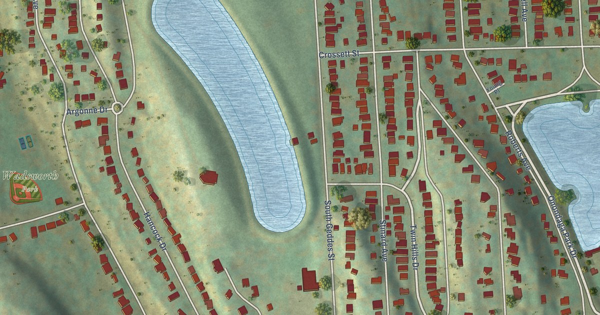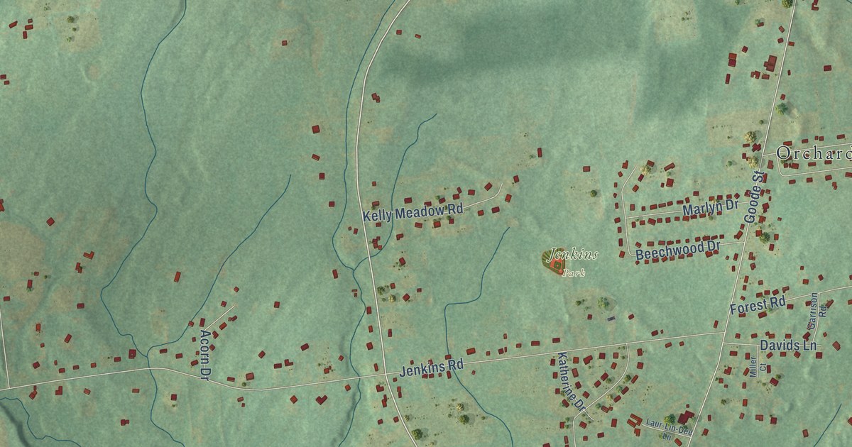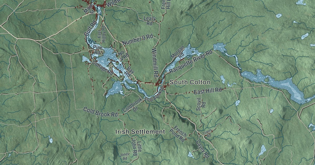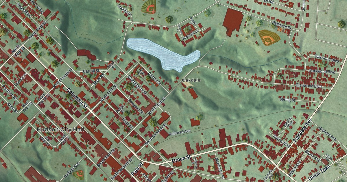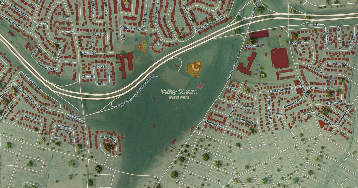
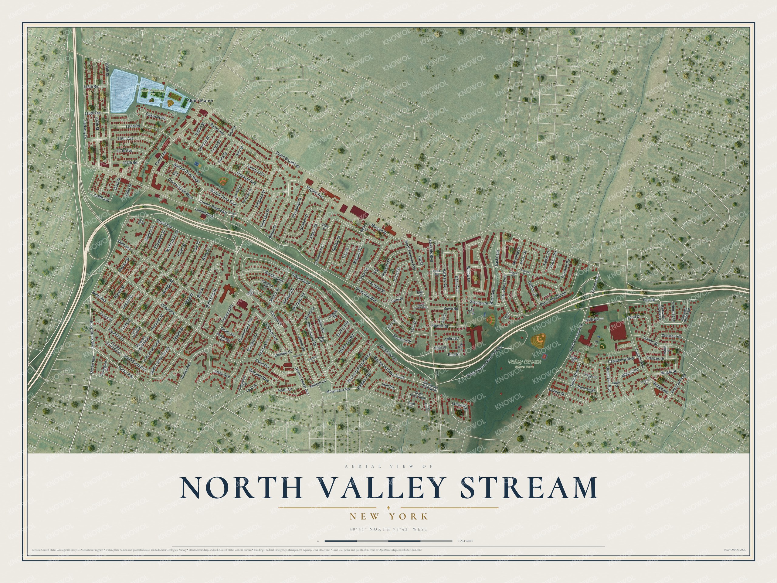
This beautifully detailed map of North Valley Stream, New York was created in 2026 using aerial imagery combined with modern topographical, census, street and landmark data. It’s a one-of-a-kind view of North Valley Stream that combines accurate data with a vintage aesthetic. The map shows every building in its true location, many of the roads carry their names, and the shaded topographic relief shows the shape of the land.
Explore an aerial view of North Valley Stream, New York
On the map you’ll find Dutch Broadway Park and Valley Stream State Park, along with Hook Creek Boulevard, Foster Avenue, Jasper Street, Cromer Road, Ocean Avenue, and more. If you look closely you can even find your house accurately drawn in its correct location. Zoom in on the preview to look for yours.
Did You Know?
The hamlet takes its name from its place just north of the Village of Valley Stream. In the 1950s, crews widened the Southern State Parkway from four lanes to six. Roughly 213 nearby homes stood in the way and were moved or torn down.
Take a closer look at the North Valley Stream map
Names on this map
These names are printed on this map.
Places: Dutch Broadway Park, Valley Stream State Park and Alden Manor.
Streets and roads: Hook Creek Boulevard, Foster Avenue, Jasper Street South, Cromer Road East, Ocean Avenue, Park Drive, Willow Lane, Rottkamp Street, 118th Avenue, Dutch Broadway, Greenway Boulevard, Elmont Road.
More street names, A to Z
115th Road, 115th Terrace, 116th Avenue, 116th Road, 117th Avenue, 117th Road, 237th Street, 238th Street, 239th Street, 240th Street, Albany Street, Alden Avenue, Alstead Road, Arkansas Drive, Ascan Street, Ashley Drive, Aurelia Court, Balfour Street, Bank Street, Barry Drive South, Barry Drive West, Bee Street, Bell Court, Birchwood Drive, Birchwood Drive North, Birchwood Drive South, Birchwood Drive West, Blossom Row, Bowe Road, Bowe Road West, Bradford Road, Buffalo Street, Burlington Place, Byron Avenue, Caldwell Road, Carole Court, Caroline Avenue, Carolyn Avenue, Cedarlawn Boulevard, Central Court, Charles Street, Chestnut Street, Chittendon Street, Clair Place, Clayton Road, Cley Road, Clovelly Drive, Corona Avenue, Countisbury Avenue, Crans Street, Cromer Road, Cromer Road West, Custer Street, Dana Avenue, Debra Place, Decker Street, Dewitt Street, Doblin Street, Donald Court, Downing Road, East Gate, Edlu Court, Edwards Boulevard, Elizabeth Street, Ely Court, Essex Place, Everett Street, Everett Street South, Fenwood Drive, Finn Street, Frances Drive, Franklin Avenue, Franklin Road, Frank Street, Freeman Avenue, Frick Street, Fulton Street, Georgia Street, Glafil Street, Goshen Street, Grant Drive East, Grant Drive North, Greenlawn Boulevard, Higbie Street, Hommell Street, Hommell Street South, Howell Road, Hunter Avenue, Idell Road, Irving Street, Irving Street South, Jasen Avenue, Jasper Street, Kallas Court, Keil Street, Kingston Street, Lambeth Lane, Landford Drive, Laurel Place, Lawn Street, Law Street, Lee Street, Leonard Way, Linden Boulevard, Linden Street, Lorentz Street, Lynn Drive, Lynn Place, Lynwood Drive, Lyon Street, Mallis Court, March Drive, Margaret Drive, Mark Place, Marlowe Road, Martin Place, Meadow Circle, Midvale Lane, Milburn Road, Milford Lane, Molyneaux Road, Morgan Street, Newbridge Road, Newburgh Street, Niagara Street, Norfolk Drive East, Norfolk Drive West, North Central Avenue, North Corona Avenue, North Drive, North Fletcher Avenue, North Grove Street, North Henry Street, Oakwood Place, Oliver Avenue, Olsen Street, Parkview Place, Parkway Drive, Parkwold Drive East, Parkwold Drive West, Peekskill Street, Pershing Street, Peterhoff Avenue, Prescott Street, Primrose Lane, Putney Road, Radstock Avenue, Remsen Street, Rica Place, Ridgewood Street, Rifton Street, Rome Street, Salem Gate, Salem Road, Scott Drive, Seaton Place, Sherbourne Road, Shipley Avenue, Slabey Avenue, Sobro Avenue, Southern Drive, South Everett Street, South Georgia Street, Stafford Road, Standish Road, Stephen Place, Stuart Avenue, Thompson Street, Troy Street, Tulip Circle, Utica Street, Val Court, Valley Stream State Park Road, Val Park Avenue, Virginia Avenue, Vista Road, Warner Road, Wellsboro Road, Wells Road, West Gate, William Street, Wright Street.
See it on a wall
The North Valley Stream map as a framed print. Swipe for more.


This beautifully detailed map of North Valley Stream makes an attractive addition to your office, library, or den, and it can even be used to teach children the geography and history of the area. It also makes a great gift for anyone who grew up in North Valley Stream or moved away. When you’re done exploring, click here to get your copy of the North Valley Stream map.