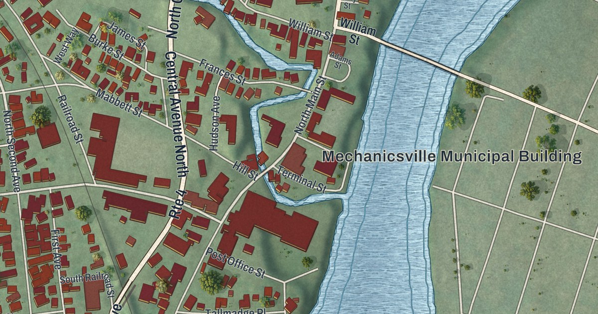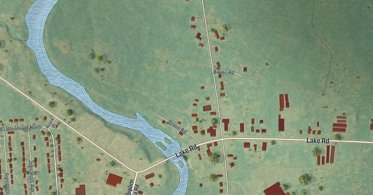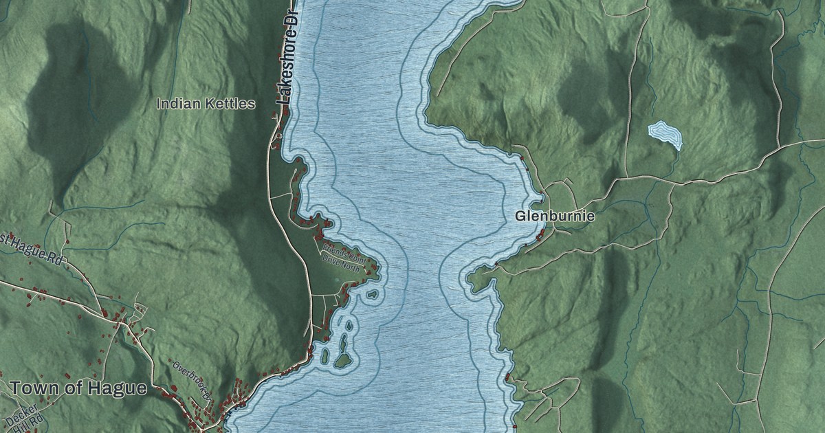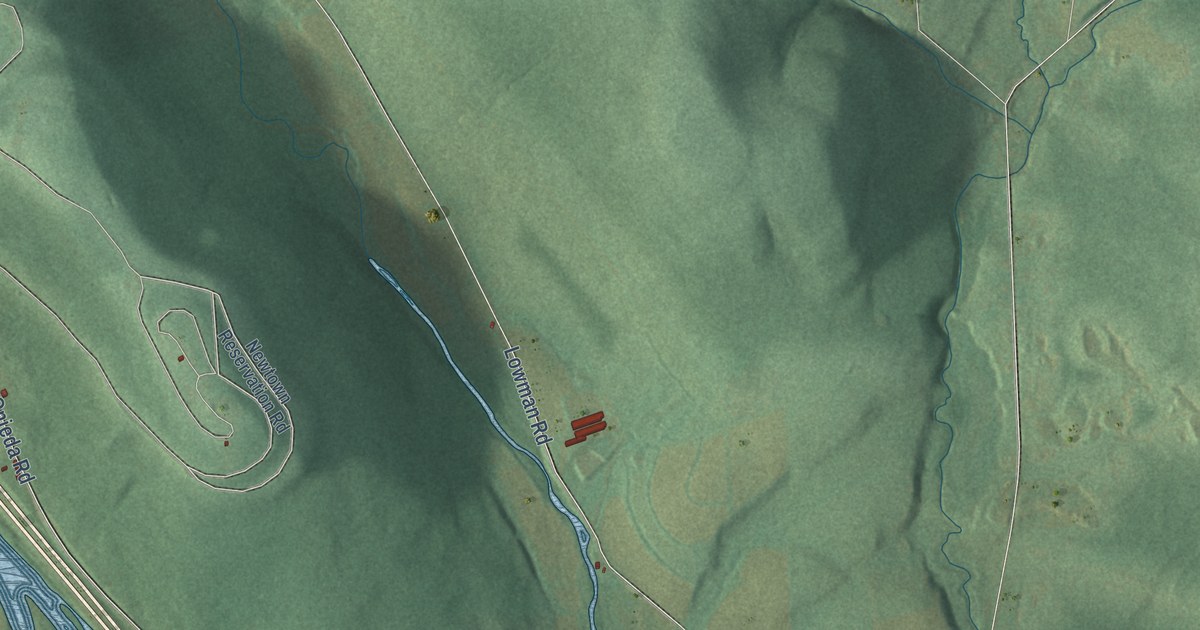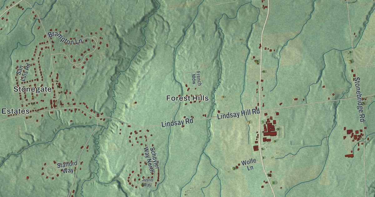
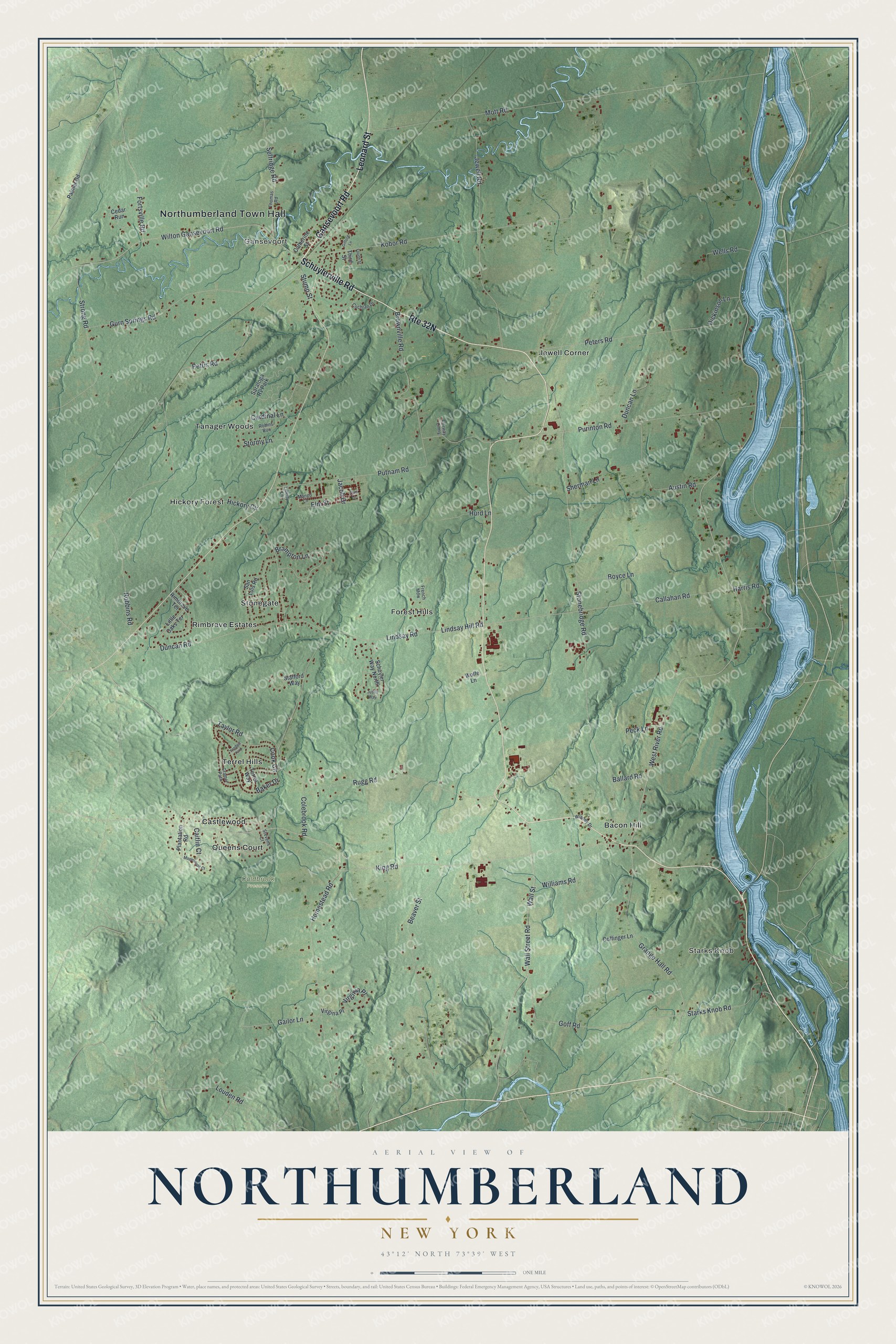
This beautifully detailed map of Northumberland, New York was created in 2026 using aerial imagery combined with modern topographical, census, street and landmark data. It’s a one-of-a-kind view of Northumberland that combines accurate data with a vintage aesthetic. The map shows every building in its true location, many of the roads carry their names, and the shaded topographic relief shows the shape of the land.
Explore an aerial view of Northumberland, New York
On the map you’ll find Northumberland Town Hall, Starks Knob, Gansevoort, Bacon Hill, Castlewood, Forest Hills, and Coldbrook Preserve, along with Gansevoort Road, Schuylerville Road, Leonard Street, Wall Street, and more. If you look closely you can even find your house accurately drawn in its correct location. Zoom in on the preview to look for yours.
Did You Know?
During the Battle of Saratoga, the British army under Burgoyne waded across the Hudson River here, moving east to west. That crossing point is now Hudson Crossing Park. Northumberland split from Saratoga in 1798. It took its name from Northumberland, a county in Britain.
Take a closer look at the Northumberland map
Names on this map
These names are printed on this map.
Places: Northumberland Town Hall, Starks Knob, Gansevoort, Coldbrook Preserve, Bacon Hill, Castlewood, Forest Hills, Hickory Forest, Jewell Corner, Queens Court, Rimbrave Estates, Stonegate, Tanager Woods, Terrel Hills and Saratoga Rv Park.
Streets and roads: Gansevoort Road, Schuylerville Road, Leonard Street, Brampton Lane, Wall Street, Wall Street Road, Callahan Road, Goff Road, West River Road, King Road, Stonebridge Road, Mott Road.
More street names, A to Z
Austin Road, Baker Drive, Ballard Road, Beaver Street, Boyce Lane, Brownville Road, Caitlin Court, Cardinal Lane, Catherine Street, Cedar Run, Cochran Drive, Coffinger Lane, Colebrook Road, Cook Circle, Cramer Path, Dickinson Lane, Duncan Lane, Duncan Road, Elm Street, Fairway Cmns, Fortsville Road, Fourth Street, French Mdw, Gailor Lane, Gifford Lane, Grange Hall Road, Gurn Springs Road, Harris Road, Hickory Circle, Homestead Road, Hurd Lane, Jacob Drive, Jewell Road, Justin Way, Kobor Road, Liberty Lane, Lindsay Hill Road, Lindsay Road, Little Oaks Terrace, Louden Road, Mango Lane, Maplewood Court, Palmer Road, Peck Lane, Peters Road, Pettis Road, Plantation Road, Plum Lane, Purinton Road, Putnam Road, Rimbrave Terrace, Robbins Road, Robins Run, Rugg Road, San Luis Road, Schuyler Way North, Selfridge Road, Sherman Lane, Stafford Way, Starks Knob Road, Stevens Court, Stormy Lane, Strong Road, Stump Street, Taylor Road, Terrel Way, Third Street, Thomas Road, Virgina Place, Virginia Place, Wells Road, Williams Road, Wilton Gansevoort Road, Winney Drive, Wolfe Lane, Yandell Yard.
See it on a wall
The Northumberland map as a framed print. Swipe for more.


This beautifully detailed map of Northumberland makes an attractive addition to your office, library, or den, and it can even be used to teach children the geography and history of the area. It also makes a great gift for anyone with Northumberland roots. When you’re done exploring, click here to get your copy of the Northumberland map.