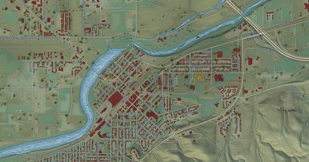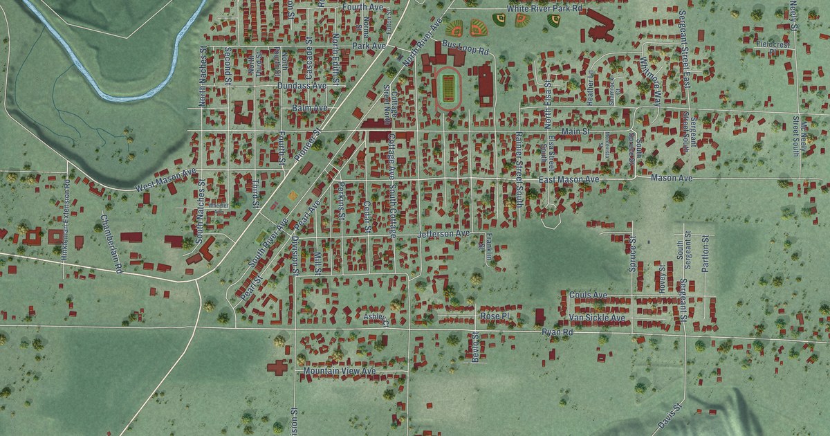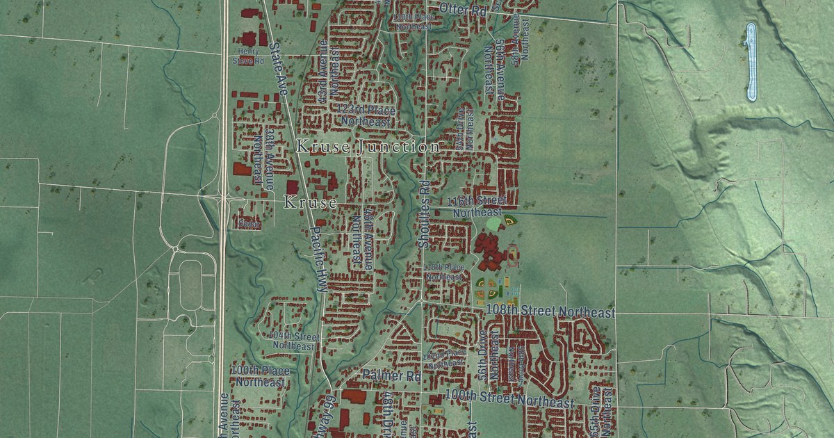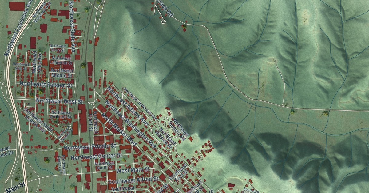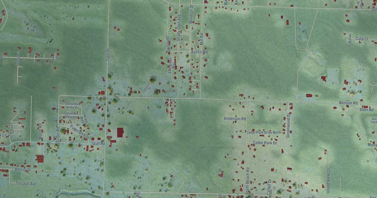
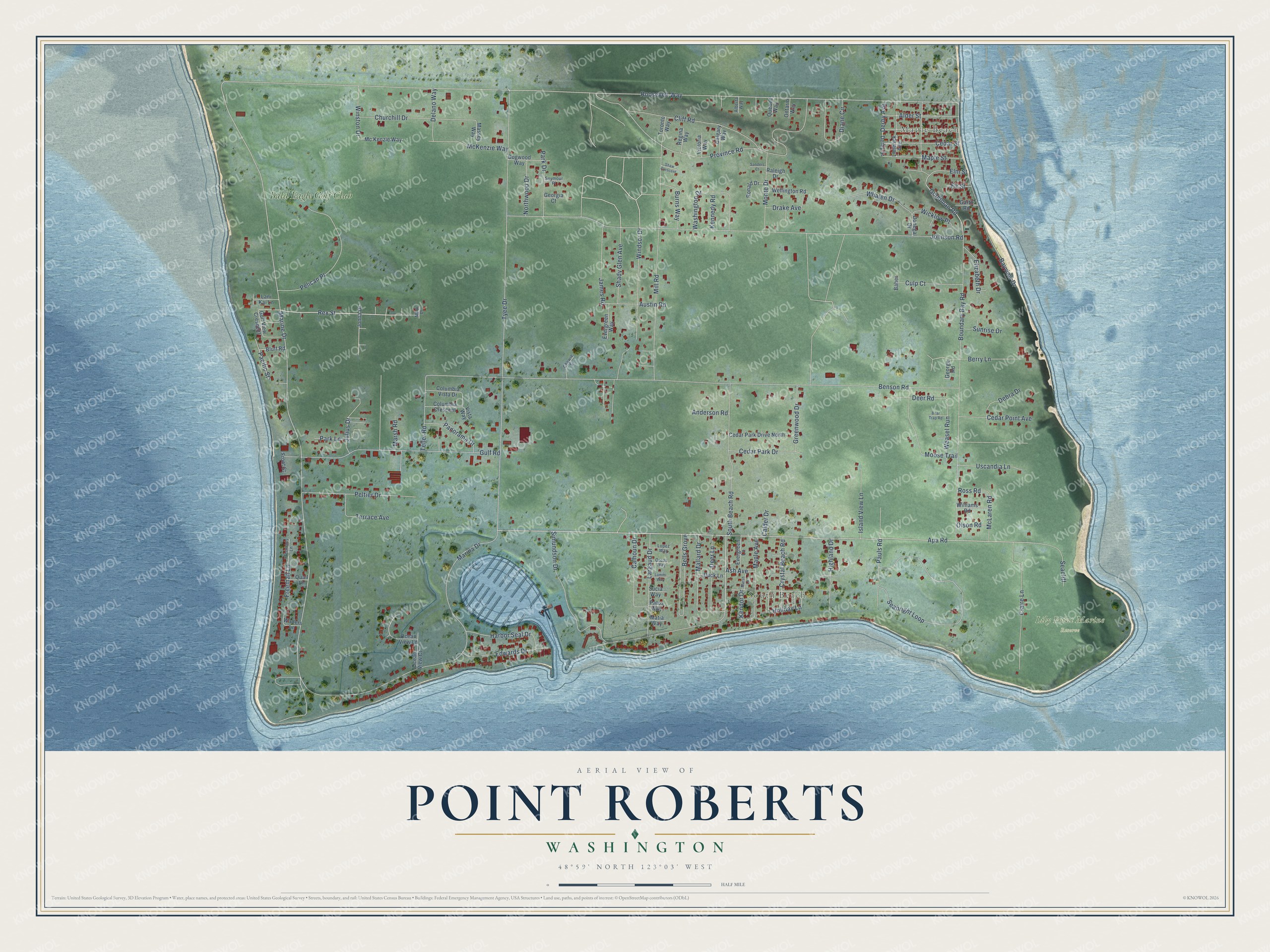
This beautifully detailed map of Point Roberts, Washington was created in 2026 using aerial imagery combined with modern topographical, census, street and landmark data. It's a modern aerial view of Point Roberts in Whatcom County, Washington, that combines modern data with a vintage aesthetic. The roads feature printed names, and if you look closely you can find your exact house accurately shown in its correct location.
Explore an aerial view of Point Roberts, Washington
On this map you'll find Maple Beach, South Beach, Lily Point Marine Reserve, Bald Eagle Golf Club, Rex Street, Apa Road, South Beach Road, Roosevelt Way, Marine Drive, Goodman Road, Benson Road, Johnson Road, and more. Each red shape is a building, so zoom in on the preview and look for yours.
Point Roberts is a community in Whatcom County. The Census Bureau counted 1,191 people here in 2020. Point Roberts sits about 14 miles west of Blaine, 15 miles west of Birch Bay and 20 miles west of Custer. The map prints the town name in its title panel, with the coordinates below it.
Take a closer look at the Point Roberts map
Names on this map
These names are printed on this map.
Places: Maple Beach, South Beach, Lily Point Marine Reserve and Bald Eagle Golf Club.
Streets and roads: Rex Street, Apa Road, South Beach Road, Roosevelt Way, Marine Drive, Goodman Road, Benson Road, Johnson Road, Tyee Drive, Edwards Drive, Boundary Bay Road, Province Road.
More street names, A to Z
Alberta Way, Alder Street, Anderson Road, Ash Avenue, Austin Road, Baher, Bayview Drive, Bear Trap Road, Bells Grove, Berry Lane, Bluff Road, Burns Way, Calder Drive, Calgary Way, Calhoun Drive, Cedar Park Drive, Cedar Park Drive North, Cedar Point Avenue, Cedar Street, Chewie Street, Churchill Drive, Claire Lane, Cliff Road, Columbia Crescent, Columbia Vista Drive, Crystal Beach Road, Culp Court, Debra Drive, Deer Lane, Deer Road, Delano Way, Derby Avenue, Derby Street, Diane Circle, Dogwood Way, Donegal Drive, Drake Avenue, Duck Lane, Elizabeth Drive, Elm Street, Evergreen Lane, Evergreen Way, Fir Street, Freeman Lane, Freemans Lane, Front Street, Garth Road, George Road, Georgia Court, Greenwood Drive, Gulf Road, Gulf View Crescent, Harbor Seal Drive, Highland Drive, Holiday Lane, Island View Lane, James Road, Jonna Drive, Julius Drive, Kendor Drive, Kennedy Road, Lani Kai Lane, Largaud Drive, Limerick Avenue, Lopez Way, Lummi Way, Mallard Drive, Maple Avenue, Maple Street, Marina Drive, Mark Drive, Marsh Lane, Marsh Road, Massey Way, Matia Way, McKenzie Way, Mc Kenzie Way, McLaren Road, Mill Road, Monte Drive, Moose Trail, Northwood Drive, Ocean View Court, Ocean View Lane, Olson Road, Ontario Way, Orcas Way, Pacific Street, Panorama Drive, Park Drive, Park Lane, Patos Way, Pauls Road, Pelican Place, Peltier Drive, Quail Lane, Quebec Way, Raleigh Drive, Regina Way, Ronald Drive, Ross Road, Sanders Court, Seabright Loop, Seacliff, Seymour Place, Shady Glen Avenue, Shaw Crescent, Simundson Drive, Sucia Way, Sunrise Drive, Teller Road, Terrace Avenue, Toronto Way, Uscandia Lane, Victoria Way, Vista Way, Walters Lane, Washington Drive, Weasel Run, Wellington Road, Whalen Drive, Wicklow Place, Williams Road, Windsor Drive, Winston Drive.
See it on a wall
The Point Roberts map as a framed print. Swipe for more.


Created by KNOWOL in 2026. The buildings are small red shapes, the roads carry their printed names, and shaded relief shows the shape of the land. The title panel reads "AERIAL VIEW OF POINT ROBERTS, WASHINGTON" with 48°59' NORTH 123°03' WEST.
It suits a den, a classroom or a front hall, and it makes a gift for anyone with Point Roberts roots. Open the preview and find the block you know. See sizes and frames for the Point Roberts map.