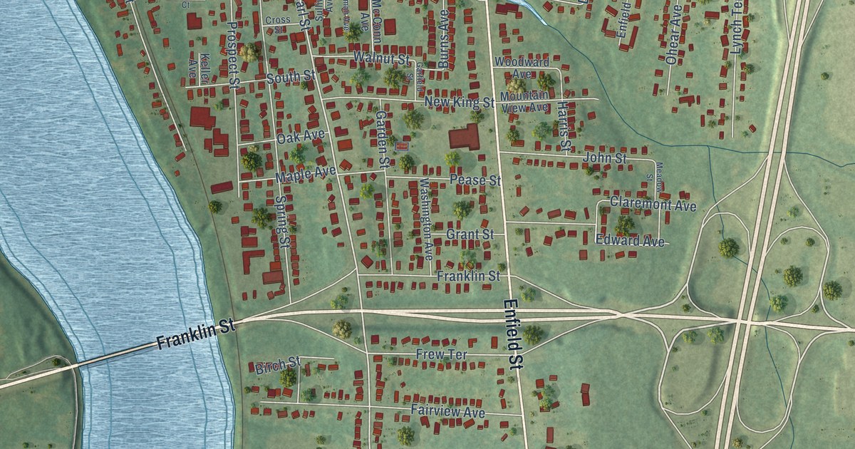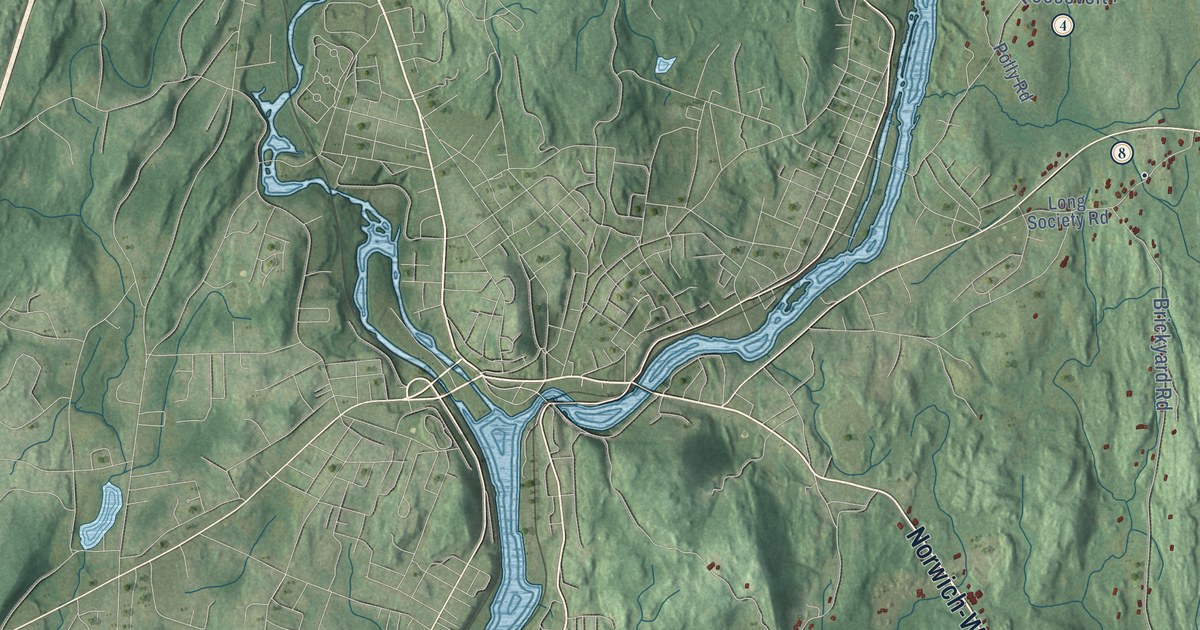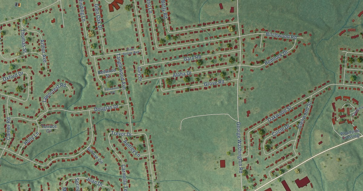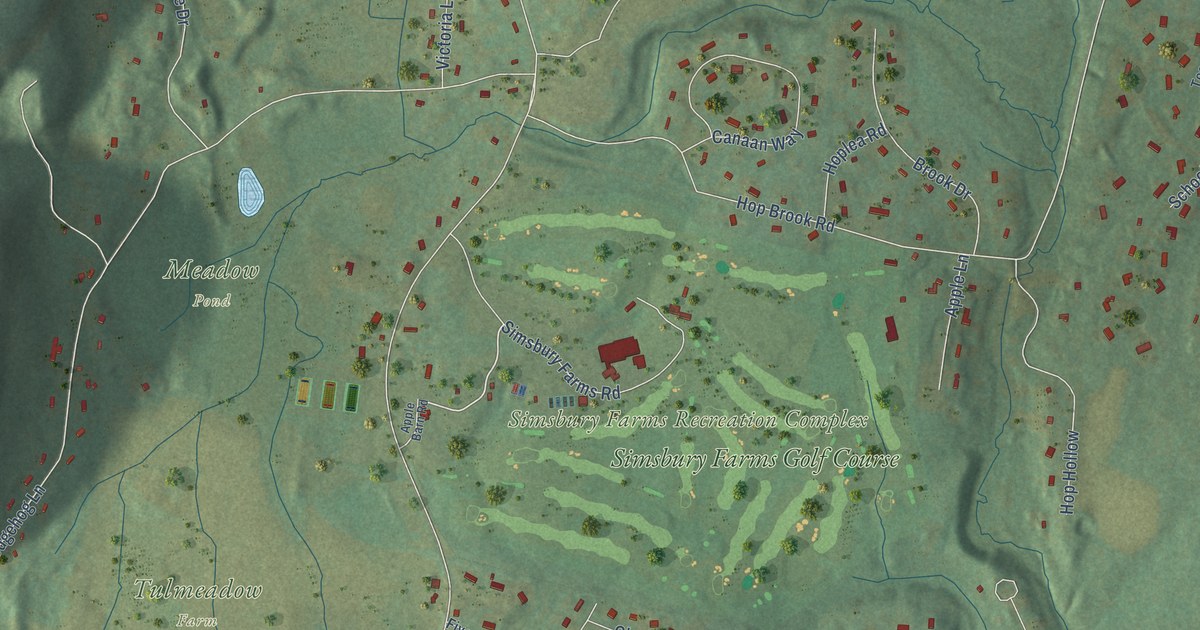
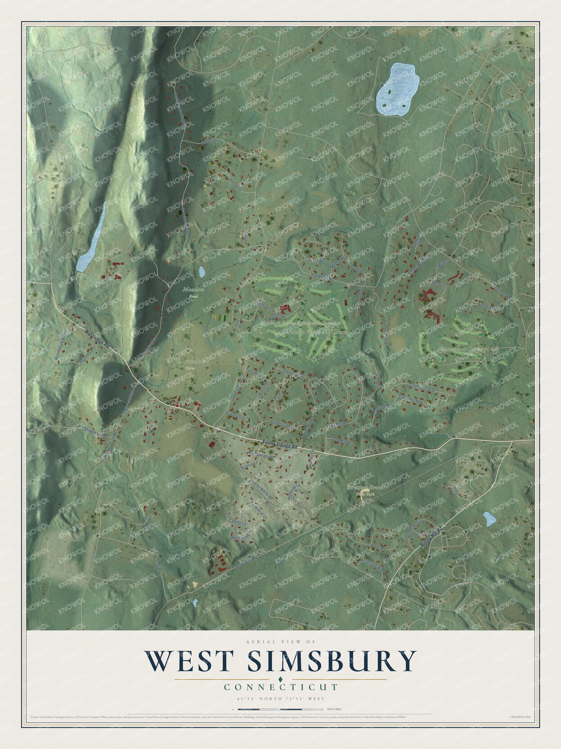
This beautifully detailed map of West Simsbury, Connecticut was created in 2026 using aerial imagery combined with modern topographical, census, street and landmark data. It’s a one-of-a-kind view of West Simsbury that combines accurate data with a vintage aesthetic. The map shows every building in its true location, many of the roads carry their names, and the shaded topographic relief shows the shape of the land.
Explore an aerial view of West Simsbury, Connecticut
On the map you’ll find Meadow Pond, Simsbury Farms Recreation Complex, Stratton Brook State Park, Tulmeadow Farm, Hopmeadow Country Club, and Simsbury Farms Golf Course, along with Farms Village Road, Westledge Road, Bushy Hill Road, Simsbury Farms Road, Town Forest Road, Old Farms Road, and more. West Simsbury sits about 2 miles west of Simsbury Center, 2 miles north of Weatogue and 4 miles northeast of Canton Valley. If you look closely you can even find your house accurately drawn in its correct location. Zoom in on the preview to look for yours.
Did You Know?
In 1908 the Eno family sold the state a tract of about 120 acres that became Massacoe State Forest, now part of Stratton Brook State Park. It was meant for experiments in stopping forest fires set by sparks from railroad trains, and Antoinette Eno Wood, a devoted naturalist, paid for them. The experiments proved that burned-out land could be successfully reforested. Civilian Conservation Corps workers later dammed Stratton Brook to make Massacoe Pond. The rustic picnic shelter they built beside it was judged the finest of its type in the state park system. That's from the Connecticut Historical Commission.
Take a closer look at the West Simsbury map
Names on this map
These names are printed on this map.
Places: Meadow Pond, Simsbury Farms Recreation Complex, Stratton Brook State Park, Tulmeadow Farm, Hopmeadow Country Club and Simsbury Farms Golf Course.
Streets and roads: Farms Village Road, Westledge Road, Bushy Hill Road, Simsbury Farms Road, Town Forest Road, Old Farms Road, Stratton Brook Road, Hop Brook Road, Hedgehog Lane, Fox Den Road, Great Pond Road, Saddle Ridge Drive.
More street names, A to Z
Apple Barn Road, Apple Lane, Bailey Drive, Banks Road, Brook Drive, Camille Lane, Canaan Way, Case Circle, Cedar Glen Road, Cedar Hill Road, Clearfield Road, Country Club Drive, Crescent Way, Farmstead Lane, Five Gates Lane, Forest Lane, Grant Estate Drive, Harvest Hill Road, Homestead Road, Hop Hollow, Hoplea Road, John Peel Road, Joshua Drive, Lenora Drive, Meadowlark Road, Nimrod Road, North Saddle Ridge Drive, Pasture Lane, Pondside Lane, Sarah Lane, Saw Mill Road, School House Lane, Shady Lane, Shingle Mill Road, Stratton Forest Way, Stratton Lane, Sugar Hollow Lane, Sugar Loaf Cut, Teachers Turn, Victoria Lane, Washburn Drive, Watson Drive, Welden Way, West Mountain Road, Whitney Lane, Wild Flower Lane, Woodchuck Hill Road, Woodside Circle.
See it on a wall
The West Simsbury map as a framed print. Swipe for more.


This beautifully detailed map of West Simsbury makes an attractive addition to your office, library, or den, and it can even be used to teach children the geography and history of the area. It also makes a great gift for anyone who grew up in West Simsbury or moved away. When you’re done exploring, click here to get your copy of the West Simsbury map.