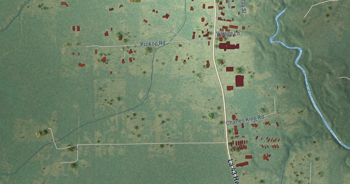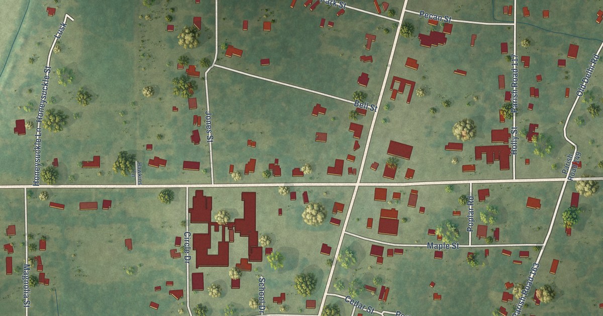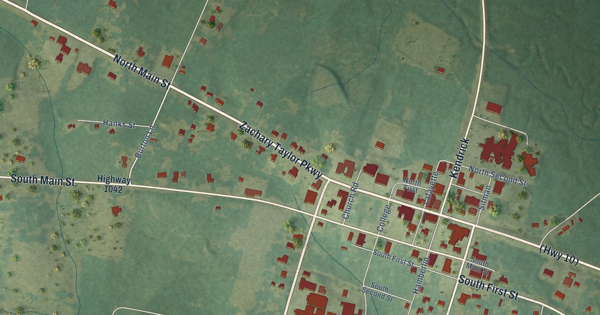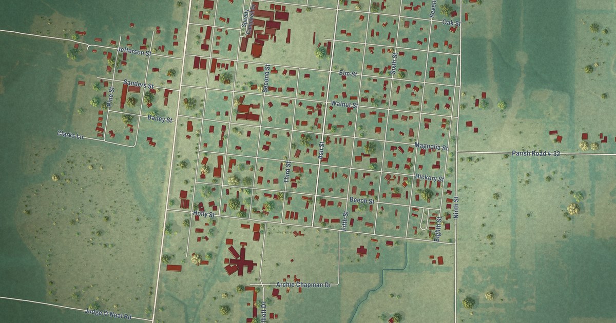
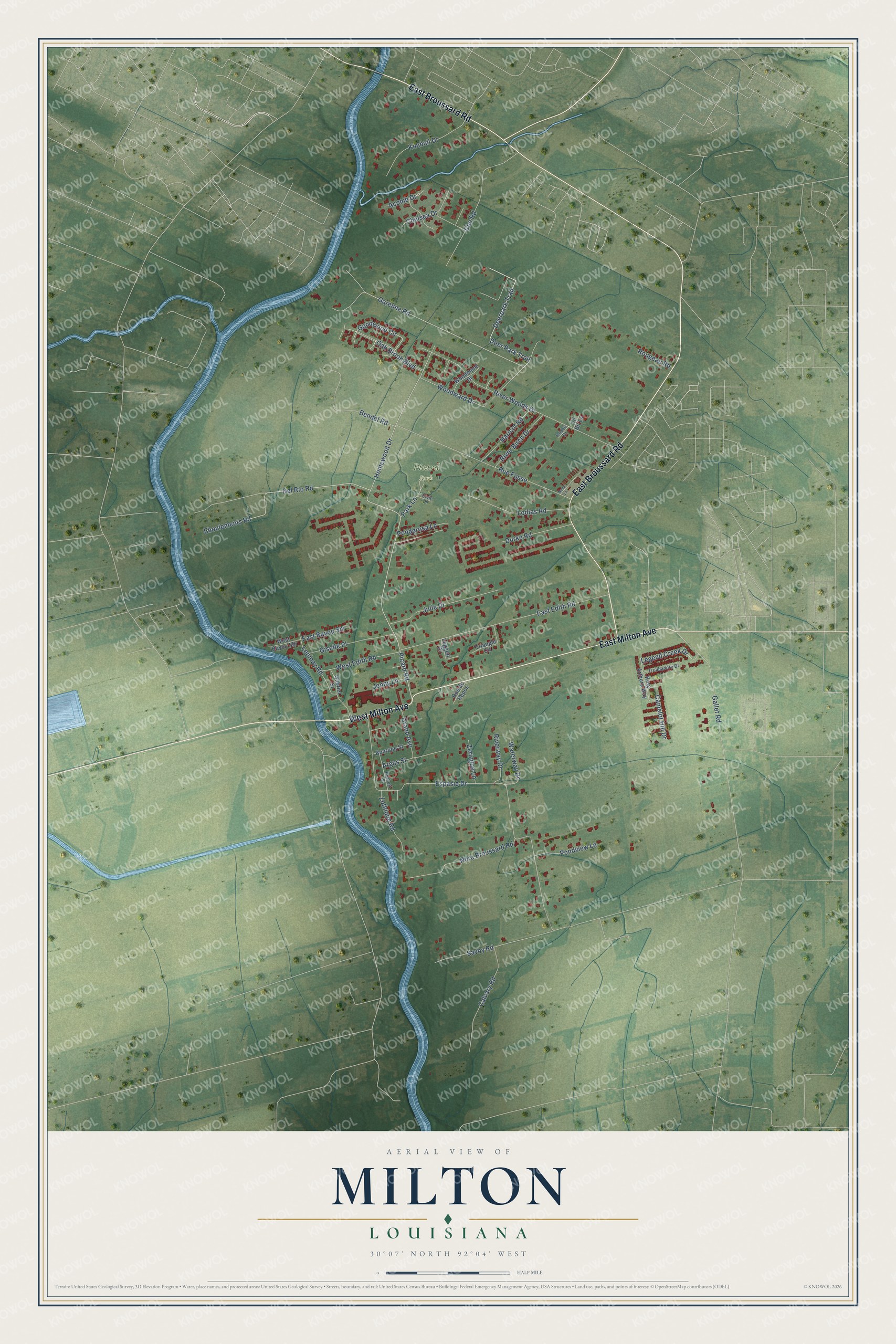
This beautifully detailed map of Milton, Louisiana was created in 2026 using aerial imagery combined with modern topographical, census, street and landmark data. It’s a one-of-a-kind view of Milton that combines accurate data with a vintage aesthetic. The map shows every building in its true location, many of the roads carry their names, and the shaded topographic relief shows the shape of the land.
Explore an aerial view of Milton, Louisiana
On the map you’ll find Picard Park, along with West Milton Avenue, East Broussard Road, East Milton Avenue, Picard Road, Deer Park Trail, Homewood Drive, Garenne Road, Oak Brook Boulevard, Acomb Drive, Espasie Drive, and more. Milton sits about 3 miles east of Maurice, 5 miles west of Youngsville and 7 miles south of Lafayette. If you look closely you can even find your house accurately drawn in its correct location. Zoom in on the preview to look for yours.
Did You Know?
Milton was named for Milton Cushman, son of John Cushman, who settled there about 1870 and became one of its leading citizens. Some settlers had arrived as early as 1823, the year Lafayette Parish was organized. The town was not laid out until 1910, when Dr. A. K. Burkett, who owned much of the land around the village, hired a surveyor to mark out regular blocks and streets. That's from the LSU Press.
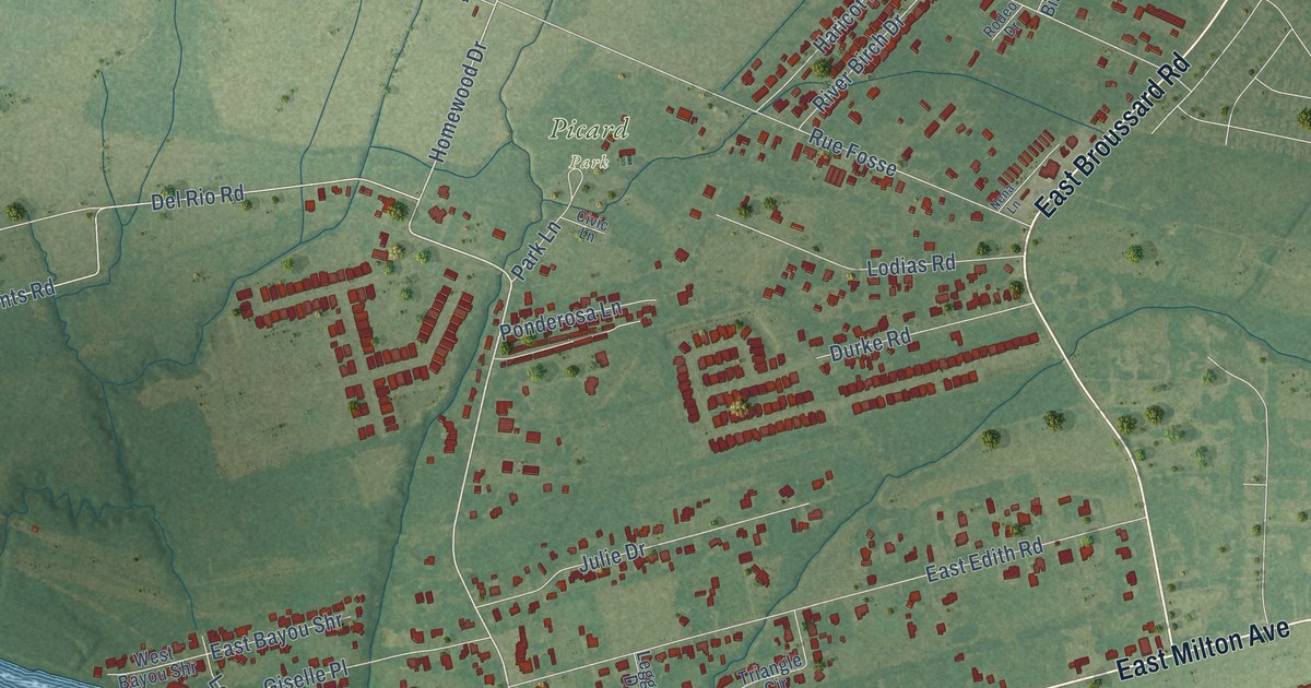
Take a closer look at the Milton map
Names on this map
These names are printed on this map.
Places: Picard Park.
Streets and roads: West Milton Avenue, East Broussard Road, East Milton Avenue, Picard Road, Deer Park Trail, Deerpark Trail, Homewood Drive, Garenne Road, Oak Brook Boulevard, Acomb Drive, Espasie Drive, Del Rio Road.
More street names, A to Z
Argus Street, Bendel Road, Bourque Street, Burkett Street, Calvary Road, Camelot Hill Drive, Chelsea Drive, Civic Lane, Cue Road, Durke Road, East Bayou Shr, East Edith Road, Eboulements Road, Gabriel Street, Gallet Road, Giselle Place, Goodwood Circle, Grand Avenue, Haricot Road, Jenny Lane, Julie Drive, Kimball Drive, King Arthurs Way, Legend Creek Drive, Leggett Drive, Lepinay Road, Lil Bit Lane, Lodias Road, Nena Lane, Nora Broussard Road, Park Lane, Ponderosa Lane, Pondview Lane, River Birch Drive, Riverway Drive, River Woods Drive, Rodeo Drive, Rougeau Road, Rue de Repos, Rue Fosse, Savoy Road, Triangle Circle, Troubadore Drive, Waterway Drive, West Bayou Shr, West Edith Road, Woodmont Drive, Woodward Drive, Zeringue Lane, Zothique Road.
See it on a wall
The Milton map as a framed print. Swipe for more.


This beautifully detailed map of Milton makes an attractive addition to your office, library, or den, and it can even be used to teach children the geography and history of the area. It also makes a great gift for someone who left Milton and still calls it home. When you’re done exploring, click here to get your copy of the Milton map.