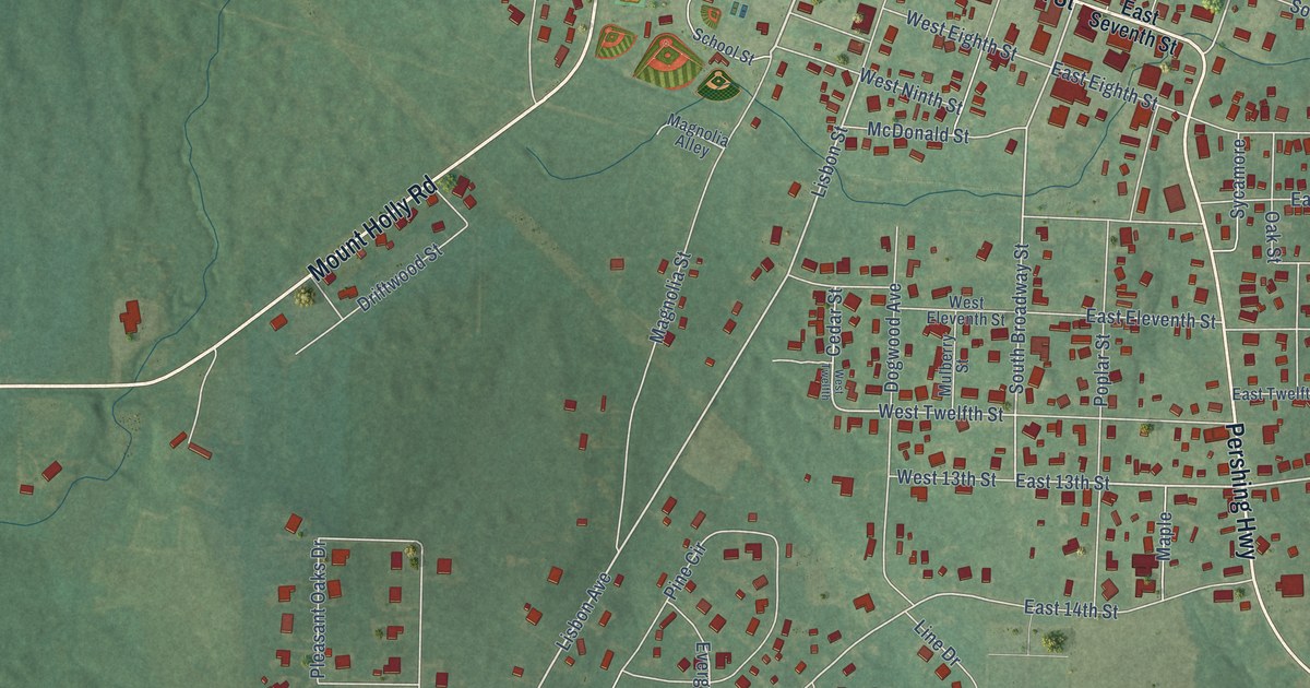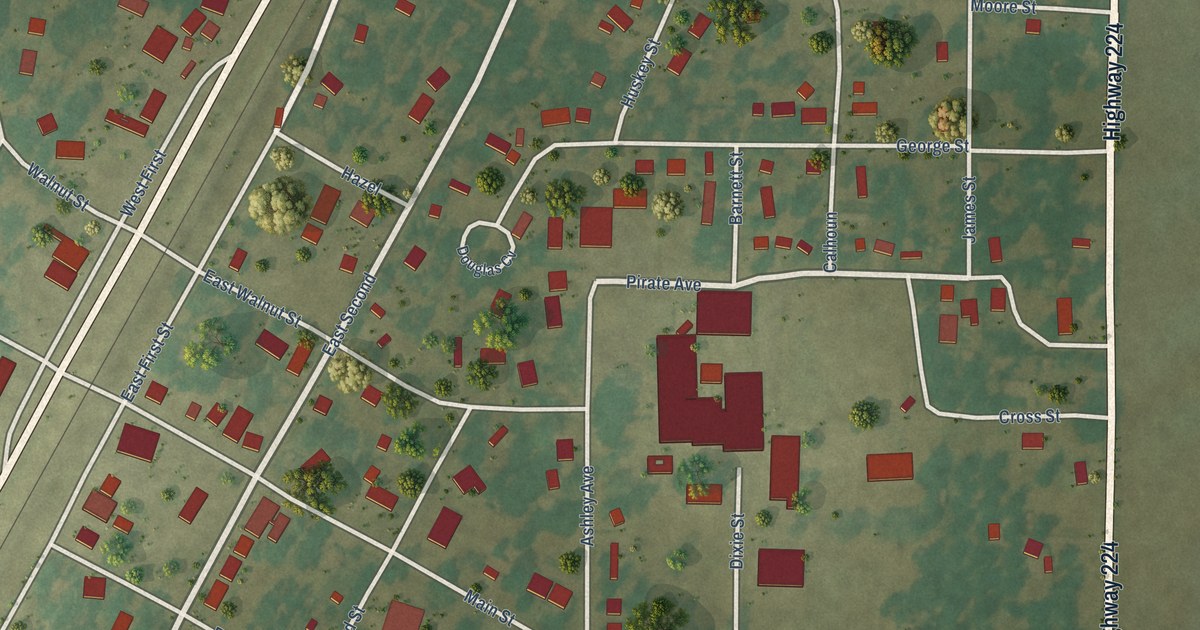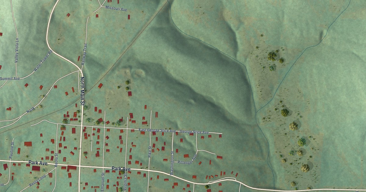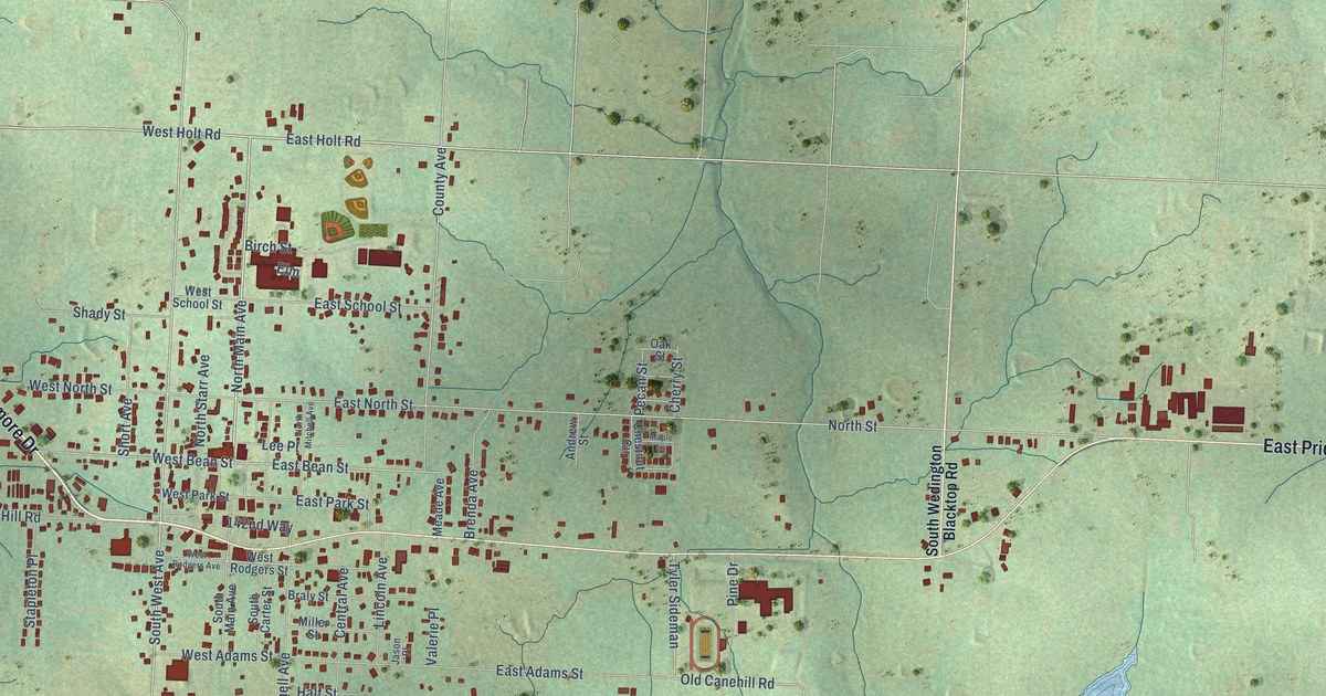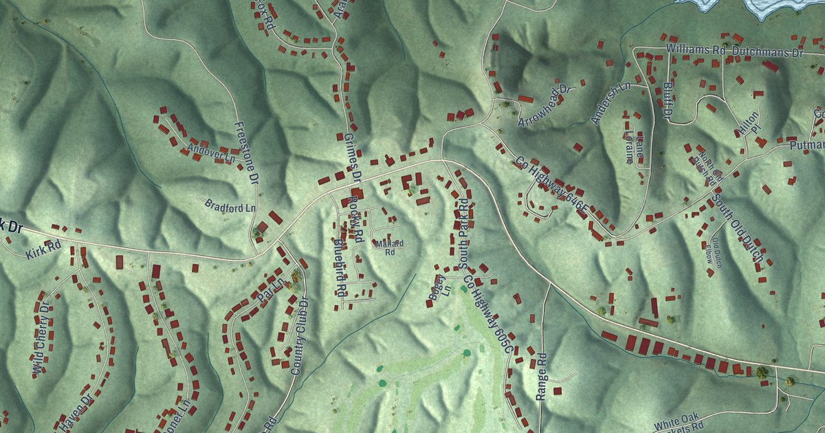
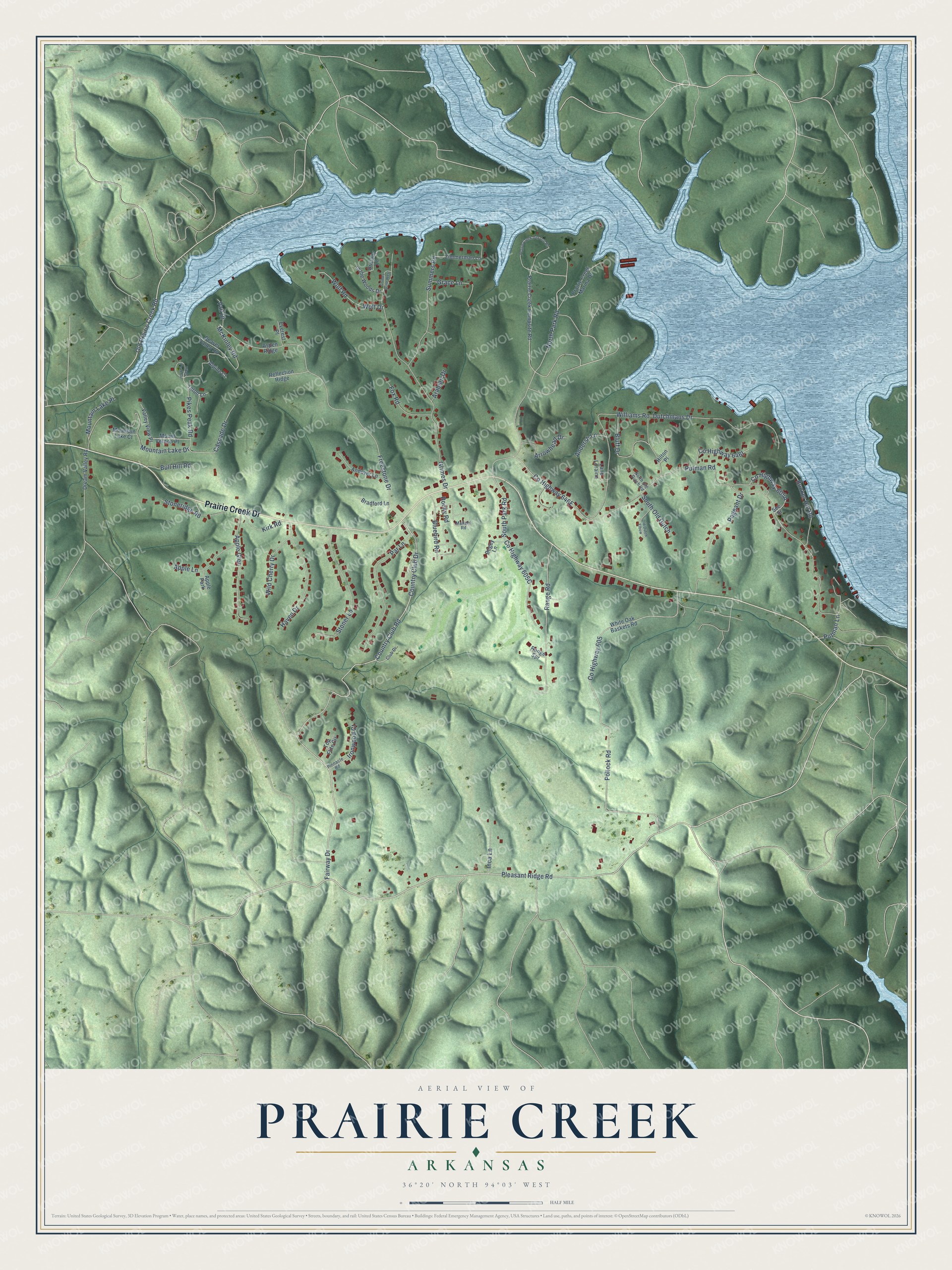
This beautifully detailed map of Prairie Creek, Arkansas was created in 2026 using aerial imagery combined with modern topographical, census, street and landmark data. It’s a one-of-a-kind view of Prairie Creek that combines accurate data with a vintage aesthetic. The map shows every building in its true location, many of the roads carry their names, and the shaded topographic relief shows the shape of the land.
Explore an aerial view of Prairie Creek, Arkansas
On the map you’ll find Prairie Creek Drive, Pleasant Ridge Road, Fairway Drive, Country Club Road, Country Club Drive, McKinley Road, Mountain Lake Drive, North Park Road, County Highway 646E, County Highway 605A, Dutchmans Drive, Pollock Road, and more. Prairie Creek sits about 5 miles south of Avoca, 5 miles east of Rogers and 6 miles southeast of Little Flock. If you look closely you can even find your house accurately drawn in its correct location. Zoom in on the preview to look for yours.
Take a closer look at the Prairie Creek map
Names on this map
These names are printed on this map.
Places: Apple Park.
Streets and roads: Prairie Creek Drive, Pleasant Ridge Road, Fairway Drive, Country Club Road, Country Club Drive, McKinley Road, Mountain Lake Drive, North Park Road, Dutchmans Drive, Pollock Road, Putman Road, Grimes Drive.
More street names, A to Z
Alpine Court, Andersh Lane, Andover Lane, Apple Glen, Apple Lane, Arabian Drive, Arrowhead Drive, Aspen Ridge, Beaver Valley Road, Bluebird Road, Bluff Drive, Bogey Lane, Bradford Lane, Brittany Lane, Bull Hill Road, Bunker Hill Road, Cascade Drive, Club Drive, County Highway 605, Dream Valley Road, Everest Place, Fox Road, Freestone Drive, Grace Lane, Grimes Drive West, Haven Drive, Hilton Place, Inca Lane, In the Woods Drive, Ironwood Court, Kirk Road, Lane Loraine, Mallard Road, Mountain Lake Court, Mountain Lake Place, Mount Vernon Place, North Old Dutch Road, Old Dutch Elbow, Old Prairie Creek Road, Pageant Drive, Par Lane, Pikes Peak Circle, Pikes Peak Road, Pinnacle Road, Prairie Creek Campsite Road, Prairie Creek Day Use Road, Prairie Creek Marina Drive, Putman Lane, Range Road, Range Spr, Reflection Ridge, Rocky Road, See Street, South Old Dutch, South Park Road, Stoneridge Road, Stoner Lane, Summers Road, Teton Lane, Top Flite Circle, Vail Drive, Valley View Place, White Oak Baskets Road, Wild Cherry Drive, Williams Road, Wolf Drive, Wolf Road, Zimmerman Lane.
See it on a wall
The Prairie Creek map as a framed print. Swipe for more.


This beautifully detailed map of Prairie Creek makes an attractive addition to your office, library, or den, and it can even be used to teach children the geography and history of the area. It also makes a great gift for someone who left Prairie Creek and still calls it home. When you’re done exploring, click here to get your copy of the Prairie Creek map.