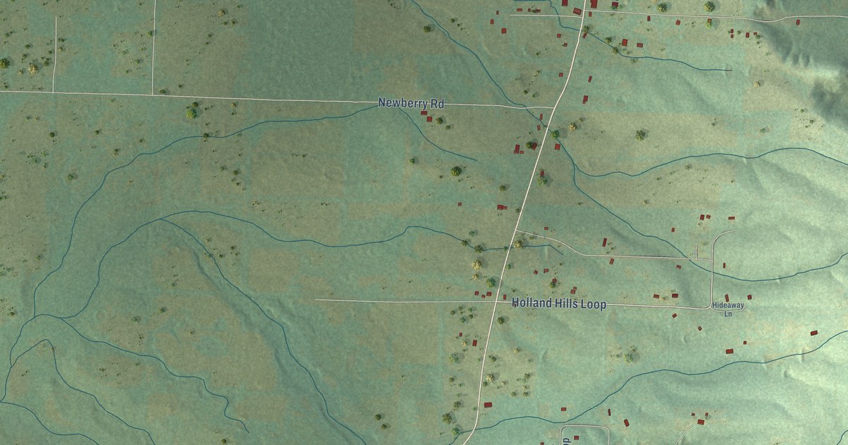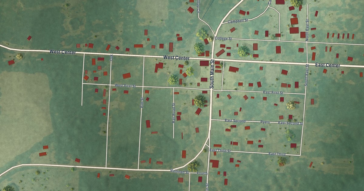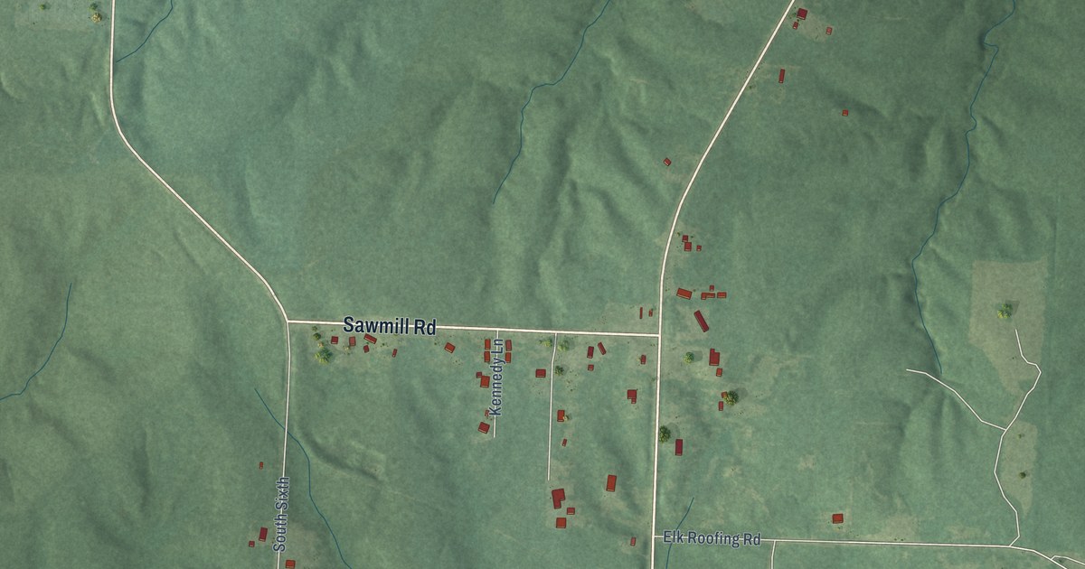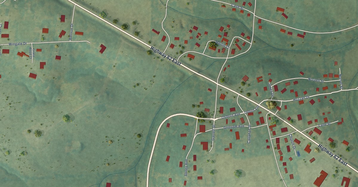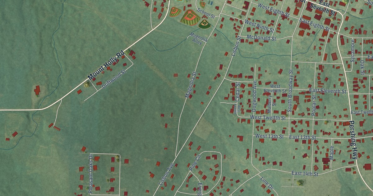
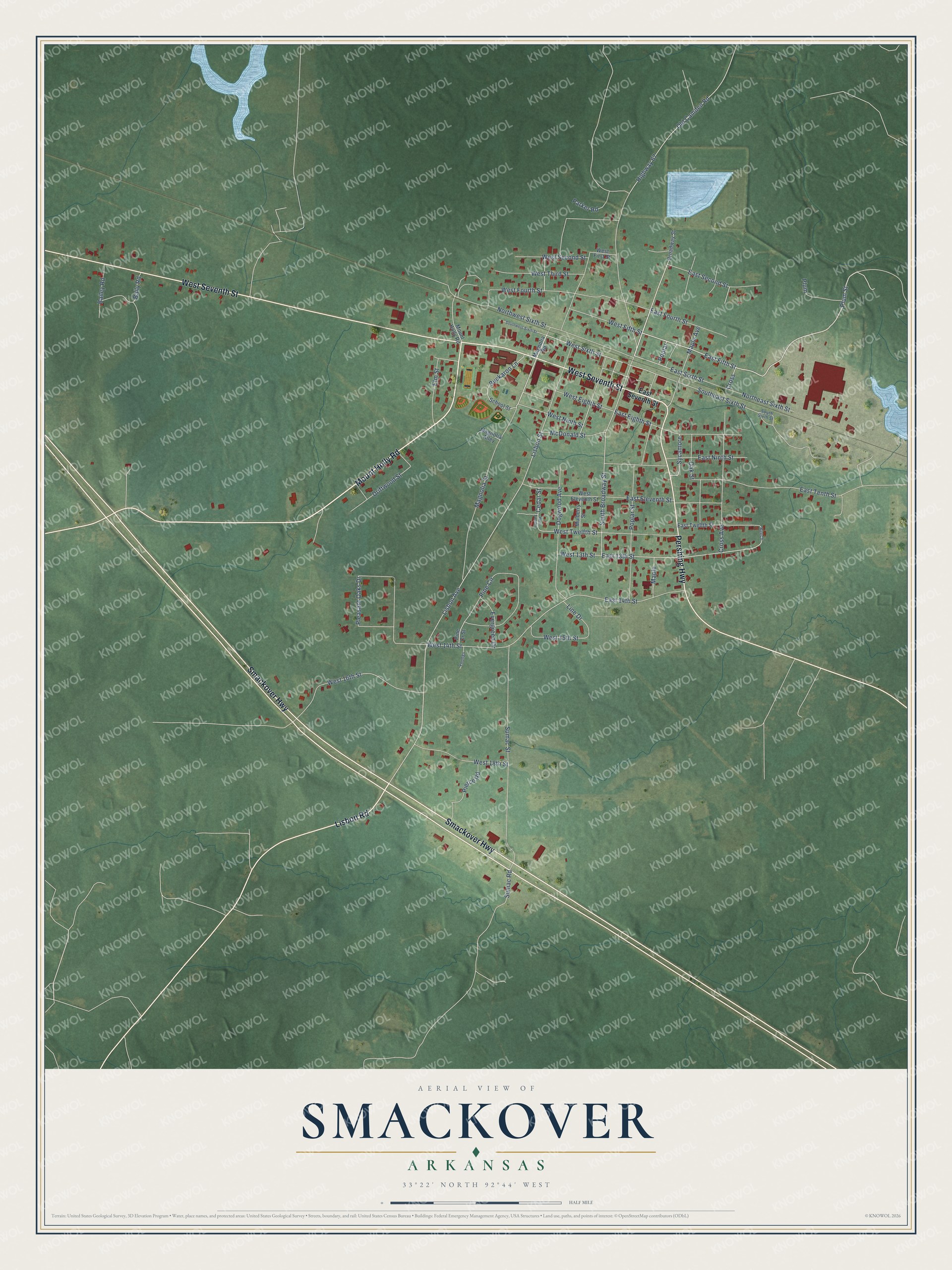
This beautifully detailed map of Smackover, Arkansas was created in 2026 using aerial imagery combined with modern topographical, census, street and landmark data. It's a modern aerial view of Smackover in Union County, Arkansas, that combines modern data with a vintage aesthetic. The roads feature printed names, and if you look closely you can find your exact house accurately shown in its correct location.
Explore an aerial view of Smackover, Arkansas
On this map you'll find Mount Holly Road, Smackover Highway, West Seventh Street, Pershing Highway, Lisbon Road, East Fifth Street, Plum Street, South Broadway Street, Magnolia Street, West Sixth Street, East Sixth Street, Lisbon Avenue, and more. Each red shape is a building, so zoom in on the preview and look for yours.
Here is a piece of Smackover history, in the words of the record. The Encyclopedia of Arkansas puts it this way: "Officials learned that Arkansas already had a Henderson post office designation, so the federal government decided to close and move the existing and rarely used Smackover post office located at Newport Landing in Ouachita County. Once the move was completed, the Smackover designation belonged to both a post office and a town."
Smackover is a city in Union County.
Take a closer look at the Smackover map
Names on this map
These names are printed on this map.
Streets and roads: Mount Holly Road, Smackover Highway, West Seventh Street, Pershing Highway, Lisbon Road, East Fifth Street, Plum Street, South Broadway Street, Magnolia Street, West Sixth Street, East Sixth Street, Lisbon Avenue.
More street names, A to Z
Bailey Road, Baily Road, Beech, Broadway Street, Buckaroo Lane, Cedar Street, Cross, Cross Avenue, Dogwood Avenue, Driftwood Street, East 13th Street, East 14th Street, East Eighth Street, East Eleventh Street, East Fourth Street, East Ninth Street, East Second Street, East Seventh Street, East Tenth Street, East Twelfth Street, Elm Street, Evergreen Drive, Highway 67, Line Drive, Lisbon Street, Magnolia Alley, Magnolia Road, Maple, Maple Avenue, McDonald Street, Mulberry Street, Northeast Sixth Street, Northwest Sixth Street, Oak Street, Old Camden Road, Parker Road, Pierce Road, Pine Circle, Pine Cr Street, Pleasant Oaks Drive, Plum, Poplar, Poplar Street, School Street, Southeast Sixth Street, South Sixth Street, Southwest Sixth Street, Sumac Road, Sumac Street, Sycamore, West 13th Street, West 14th Street, West 15th Street, West 16th Street, West 18th Street, West Eighth Street, West Eleventh Street, West Fifth Street, West First Street, West Fourth Street, West Ninth Street, West Second Street, West Third Street, West Twelfth, West Twelfth Street, Youngs.
Created by KNOWOL in 2026. The buildings are small red shapes, the roads carry their printed names, and shaded relief shows the shape of the land. The title panel reads "AERIAL VIEW OF SMACKOVER ARKANSAS" with 33°22' NORTH 92°44' WEST.
It suits a den, a classroom or a front hall, and it makes a gift for anyone with Smackover roots. Open the preview and find the block you know. See sizes and frames for the Smackover map.