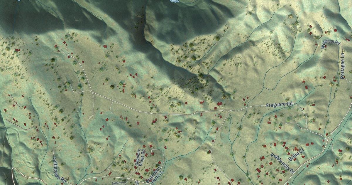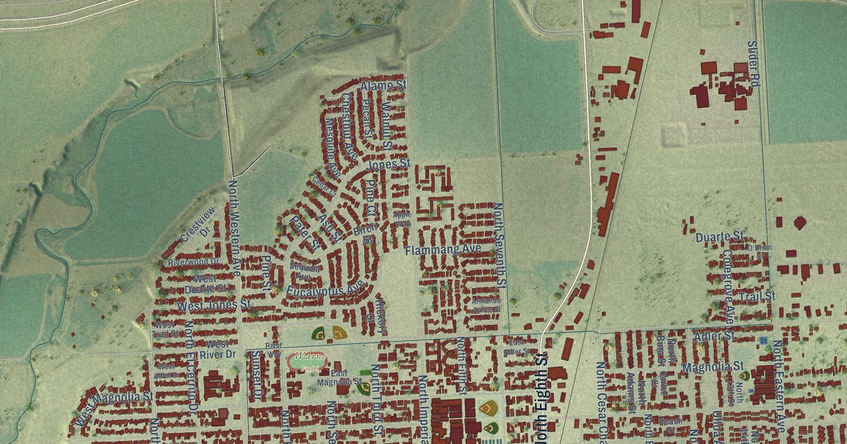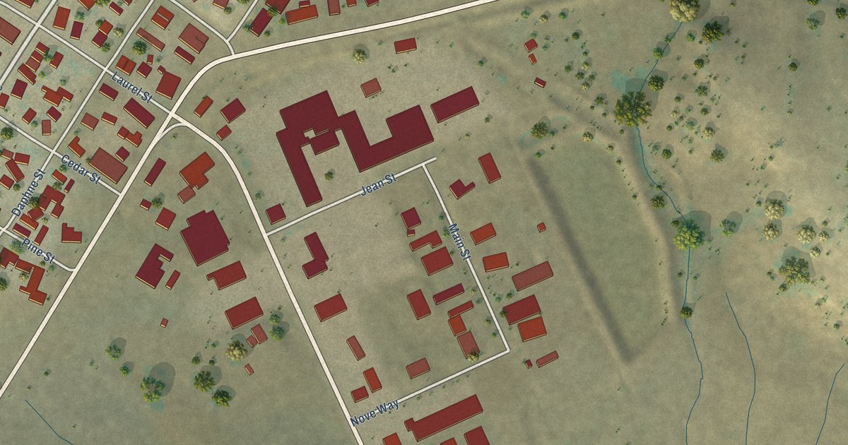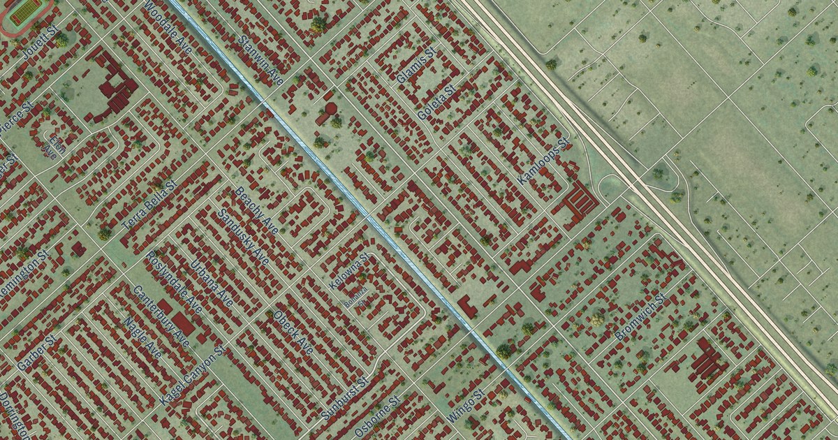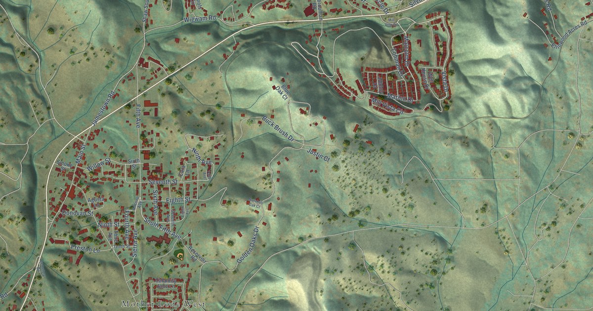
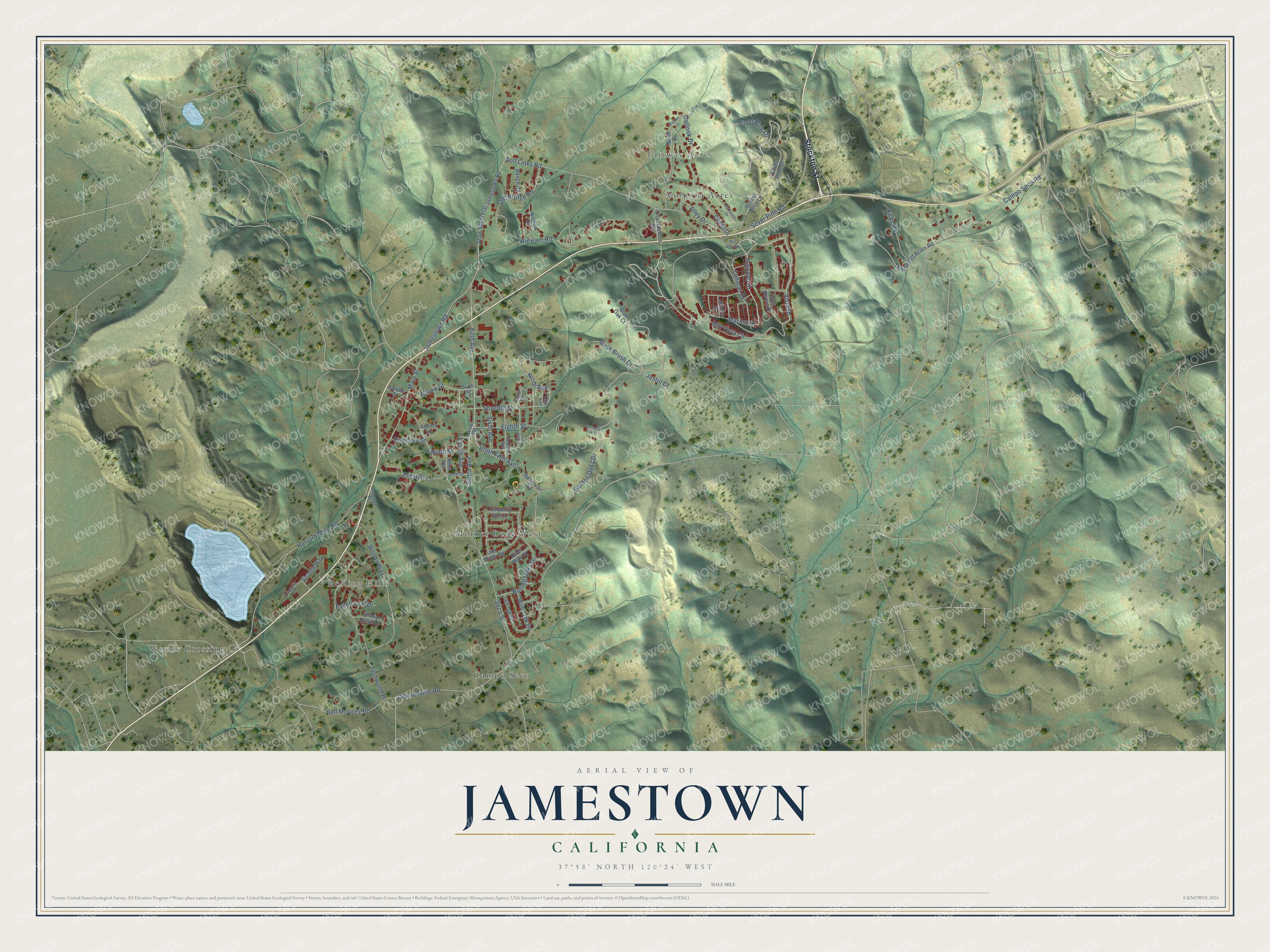
This beautifully detailed map of Jamestown, California was created in 2026 using aerial imagery combined with modern topographical, census, street and landmark data. It’s a one-of-a-kind view of Jamestown that combines accurate data with a vintage aesthetic. The map shows every building in its true location, many of the roads carry their names, and the shaded topographic relief shows the shape of the land.
Explore an aerial view of Jamestown, California
On the map you’ll find Rolling Hills, Fairway Acres, Woods Crossing, Mother Lode West, Campo Seco, and Volponi Acres, along with Stockton Street, Vista Drive, Malcolm Drive, South Fifth Avenue, Fourth Avenue, Ninth Street, and more. Jamestown sits about 2 miles southwest of Sonora, 4 miles west of East Sonora and 4 miles southeast of Tuttletown. If you look closely you can even find your house accurately drawn in its correct location. Zoom in on the preview to look for yours.
Take a closer look at the Jamestown map
Names on this map
These names are printed on this map.
Places: Rolling Hills, Fairway Acres, Woods Crossing, Mother Lode West, Campo Seco and Volponi Acres.
Streets and roads: Stockton Street, Vista Drive, Malcolm Drive, South Fifth Avenue, Fourth Avenue, Ninth Street, Golden Oaks Drive, Jamestown Road, Seco Street, Campo Seco Road, Harvard Mine Road, Golf Links Road.
More street names, A to Z
Agusta Lane, Alley Drive, Antone Avenue, Bell Mooney Road, Blue Oak Court, Buck Brush Drive, Calamity Jane Lane, Cara Lane, Cemetery Road, Chabroullian Road, Circle Drive, Donovan Street, Eighth Avenue, Eighth Street, Ellinwood Acres Road, Fallen Leaf Drive, Fernwood Drive, Fifth Avenue, Golden Dove Lane, Jacksonville Road, Jim Brady Road, Johnny Drive, Justin Court, Kirks Road, Lohman Drive, Main Street, Marion Drive, Martha Lane, McKibbon Drive, Mill Villa Road, Mill Vista Circle, Morehus Oak Court, Nichols Circle, Ninth Avenue, North Drive, Old Bridge Road, Outlook Drive, Preston Lane, Ranch Road, Reservoir Road, River Oak Court, Rolling Oaks Drive, Seventh Avenue, Seventh Street, Shady Dawn Lane, Shaw South Flat Jamestown Road, Sierra Avenue, Silver Pine Drive, Silver Pine Lane, Silver Pine Road, Sixth Avenue, Sixth Street, Smoke Street, Tenth Avenue, Tenth Street, Third Avenue, Twin Oak Drive, Victoria Place, Victoria Way, Well House Drive, Wigwam Road, Wild Oak Drive, Willow Street, Woods Way.
See it on a wall
The Jamestown map as a framed print. Swipe for more.


This beautifully detailed map of Jamestown makes an attractive addition to your office, library, or den, and it can even be used to teach children the geography and history of the area. It also makes a great gift for anyone with Jamestown roots. When you’re done exploring, click here to get your copy of the Jamestown map.