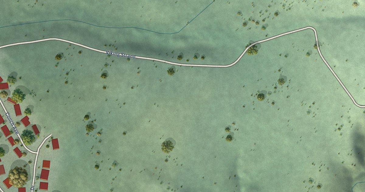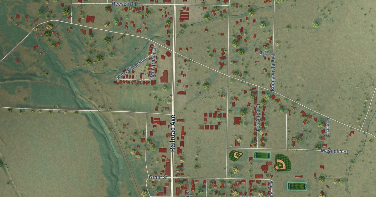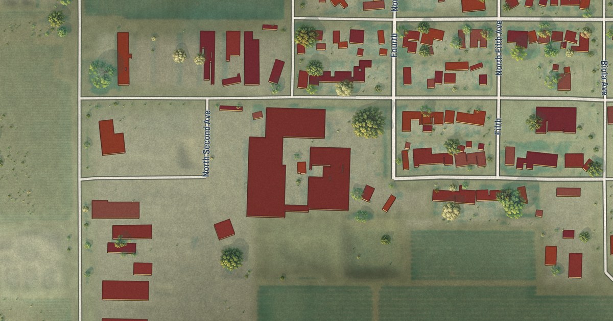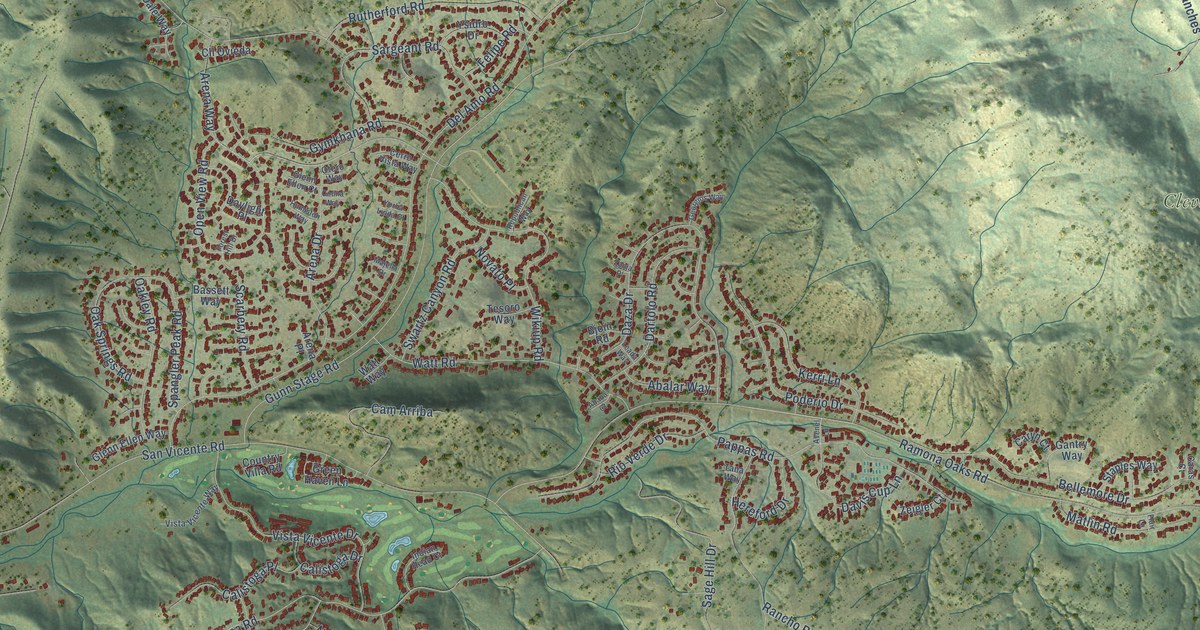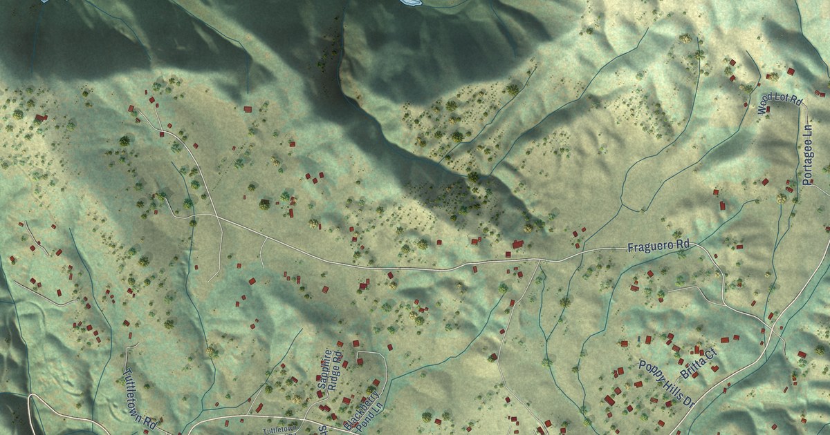
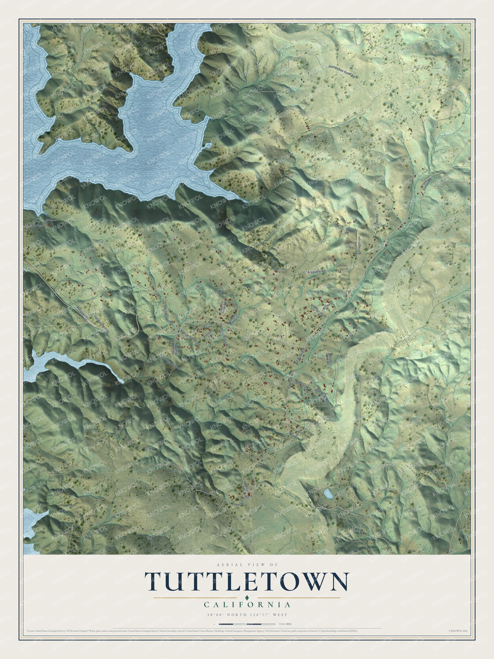
This beautifully detailed map of Tuttletown, California was created in 2026 using aerial imagery combined with modern topographical, census, street and landmark data. It's a modern aerial view of Tuttletown in Tuolumne County, California, that combines modern data with a vintage aesthetic. The roads feature printed names, and if you look closely you can find your exact house accurately shown in its correct location.
Explore an aerial view of Tuttletown, California
On this map you'll find Fraguero Road, Co Road E5, Horseshoe Bend Road, Rawhide Road, Wilcox Ranch Road, Jackass Hill Road, Tin Horn Mine Road, Flume Road, Rim Rock Road, Rimrock Road, Stud Horse Flat Road, Tuttletown Road, and more. Each red shape is a building, so zoom in on the preview and look for yours.
Tuttletown has a story worth telling. On Jackass Hill, young Mark Twain stayed with the Gillis brothers in 1864 and 1865 and gathered material for The Jumping Frog of Calaveras County, the story that first brought him fame, and for Roughing It. A replica of his cabin stands there, with the original chimney and fireplace. That's from the California Office of Historic Preservation.
Tuttletown is a community in Tuolumne County. The Census Bureau counted 787 people here in 2020.
Take a closer look at the Tuttletown map
Names on this map
These names are printed on this map.
Streets and roads: Fraguero Road, County Road E5, Horseshoe Bend Road, Rawhide Road, Wilcox Ranch Road, Jackass Hill Road, Tin Horn Mine Road, Flume Road, Rim Rock Road, Rimrock Road, Stud Horse Flat Road, Tuttletown Road.
More street names, A to Z
Azevedo Lane, Blackberry Pond Lane, Bostwick Road, Britta Court, French Flat Road, Hemming Road, Maryatt Mine Road, Melones Court, Mormon Creek Road, Poppy Hills Drive, Portagee Lane, Sapphire Ridge Road, Shepherd Ranch Road, Tuttletown School Road, Von Kleiben Road, Wood Lot Road.
See it on a wall
The Tuttletown map as a framed print. Swipe for more.


Created by KNOWOL in 2026. The buildings are small red shapes, the roads carry their printed names, and shaded relief shows the shape of the land. The title panel reads "AERIAL VIEW OF TUTTLETOWN, CALIFORNIA" with 38°00' NORTH 120°27' WEST.
It looks right in a kitchen, an office or a den, and it's a gift for anyone who grew up in Tuttletown or moved away. Open the preview and find your street. See sizes and frames for the Tuttletown map.