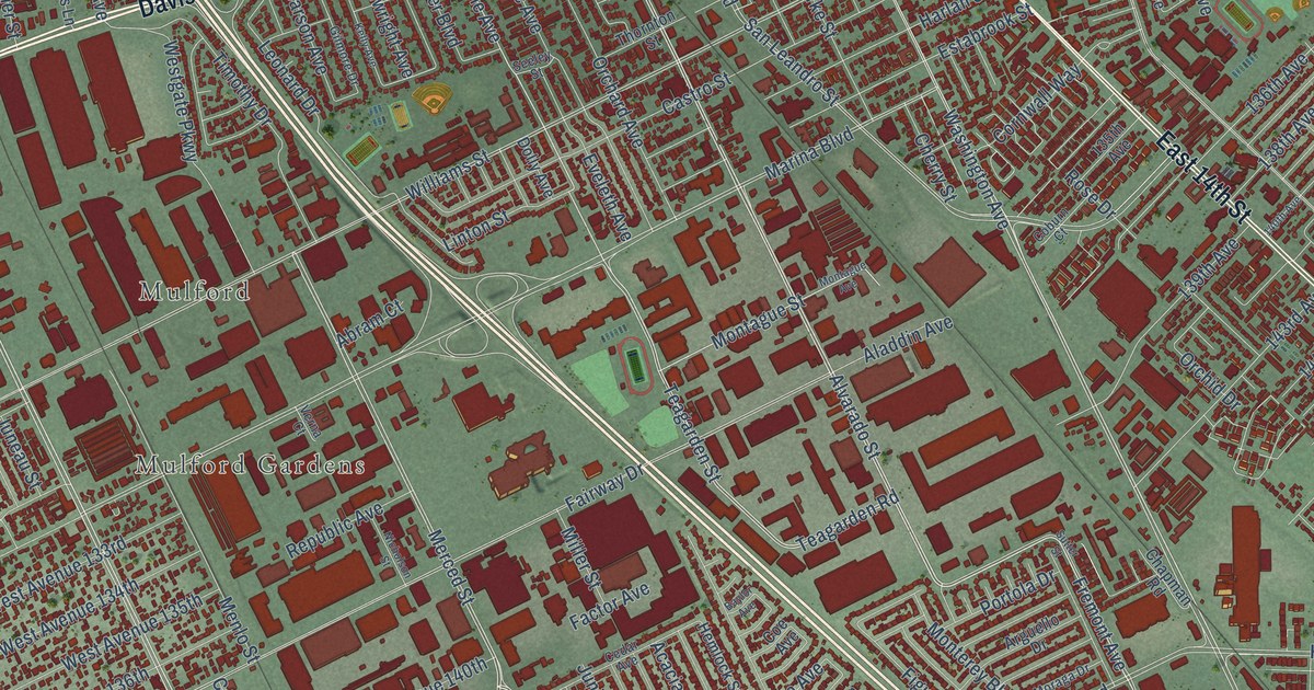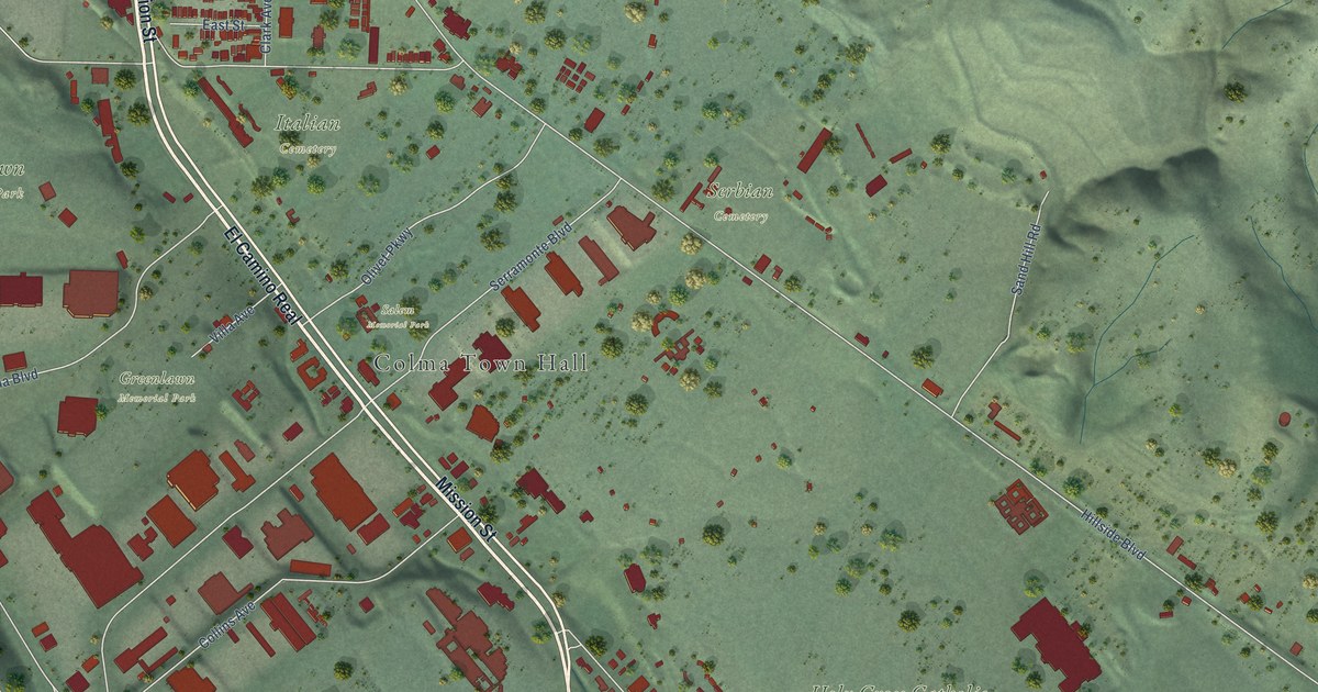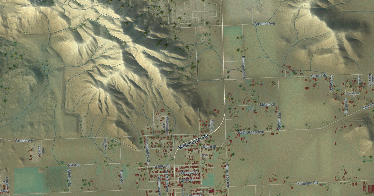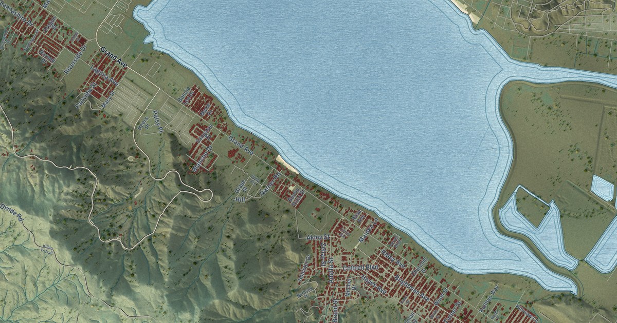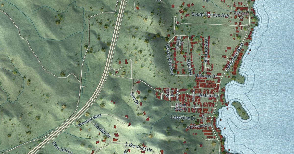
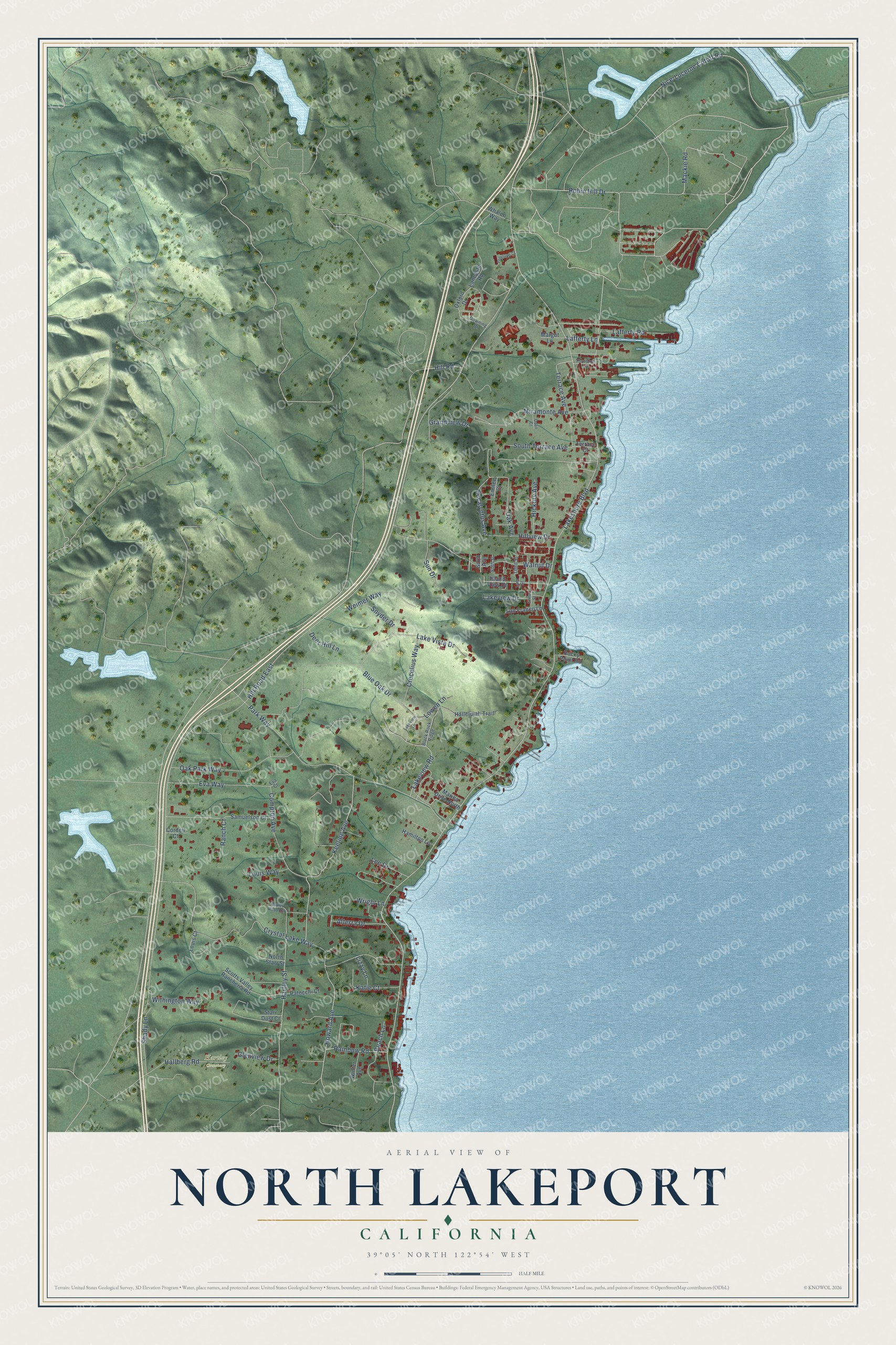
This beautifully detailed map of North Lakeport, California was created in 2026 using aerial imagery combined with modern topographical, census, street and landmark data. It's a modern aerial view of North Lakeport in Lake County, California, that combines modern data with a vintage aesthetic. The roads feature printed names, and if you look closely you can find your exact house accurately shown in its correct location.
Explore an aerial view of North Lakeport, California
On this map you'll find Hartley Cemetery, Mackie Road, Hill Road East, Eucalyptus Avenue, South Terrace Avenue, Grandview Drive, Lakeshore Boulevard, Nice-Lucerne Cutoff Road, Crystal Lake Way, Blue Oak Drive, Park Way, Robin Hill Drive, and more. Each red shape is a building, so zoom in on the preview and look for yours.
Every town has a first chapter, and North Lakeport is no exception. Lakeside Community Hospital opened in July 1945 on land between Lakeport and Upper Lake. A former patient of Dr. Robert Barr gave 25,000 dollars that became the seed money for the property, and Barr and Dr. Neal Woods raised about 250,000 dollars to build it. Patients no longer had to leave the area to be hospitalized. In 1966 Dr. Woods turned the hospital over to the community, and a local board ran it as a nonprofit. Residents raised more than half a million dollars for a new building behind the old one, dedicated in 1978. That's from the Sutter Lakeside Hospital history page.
North Lakeport is a community in Lake County. The Census Bureau counted 3,547 people here in 2020. North Lakeport sits about 4 miles southwest of Nice, 5 miles south of Upper Lake and 8 miles west of Lucerne. The map prints the town name in its title panel, with the coordinates below it.
Take a closer look at the North Lakeport map
Names on this map
These names are printed on this map.
Places: Hartley Cemetery.
Streets and roads: Mackie Road, Hill Road East, Eucalyptus Avenue, South Terrace Avenue, Grandview Drive, Lakeshore Boulevard, Nice-Lucerne Cutoff Road, Crystal Lake Way, Blue Oak Drive, Park Way, Robin Hill Drive, Keeling Avenue.
More street names, A to Z
Alterra Drive, Beach Lane, Black Rock Ridge, Compton Avenue, Cordell Court, Crecelius Way, Deer Hill Lane, Downing Drive, Emilee Court, Eva Court, Eva Way, Fifth Street, Glenview Drive, Griner Street, Hallberg Road, Hallelujah Trail, Hamilton Lane, Hartley Road Extension, Hartley Street, Hickory Avenue, Hill Road, Hillview Drive, Howard Avenue, Island View Drive, Katie Court, Lafferty Lane, Lafferty Road, Lakeview Drive, Lakeview Lane, Lakeview Road, Lake Vista Drive, Lana Street, Lancaster Road, Lan Franco Lane, Lee Drive, Lizzy Lane, Louis Court, Louis Way, Lowen Lane, Margot Lane, Marina Drive North, Miramonte Avenue, North Starr Street, Oak Avenue, Oak Park Way, Oxford Drive, Patocchi Court, Penelope Court, Quail Court, Rainbow Road, Ranch Court, Rocky Point Road, Samuelson Court, Scotts Valley Rancheria Road, Shady Lane, Sixth Avenue, Snyder Drive, Starr Dust Court, Sun Drive, Terrace Avenue, Terrace Court, Third Street, Thurston Lane, Walnut Drive, Weimer Way, Whalen Way, Winter Avenue, Withington Way, Wright Lane.
See it on a wall
The North Lakeport map as a framed print. Swipe for more.


Created by KNOWOL in 2026. The buildings are small red shapes, the roads carry their printed names, and shaded relief shows the shape of the land. The title panel reads "AERIAL VIEW OF NORTH LAKEPORT, CALIFORNIA" with 39°05' NORTH 122°54' WEST.
Hang it in the hallway, the office or the cabin, or give it to someone who left North Lakeport and still calls it home. Open the preview and look for a street you know. See sizes and frames for the North Lakeport map.