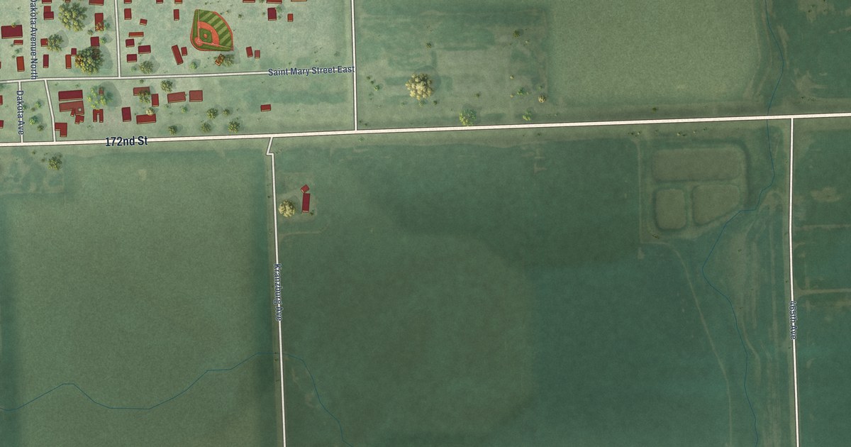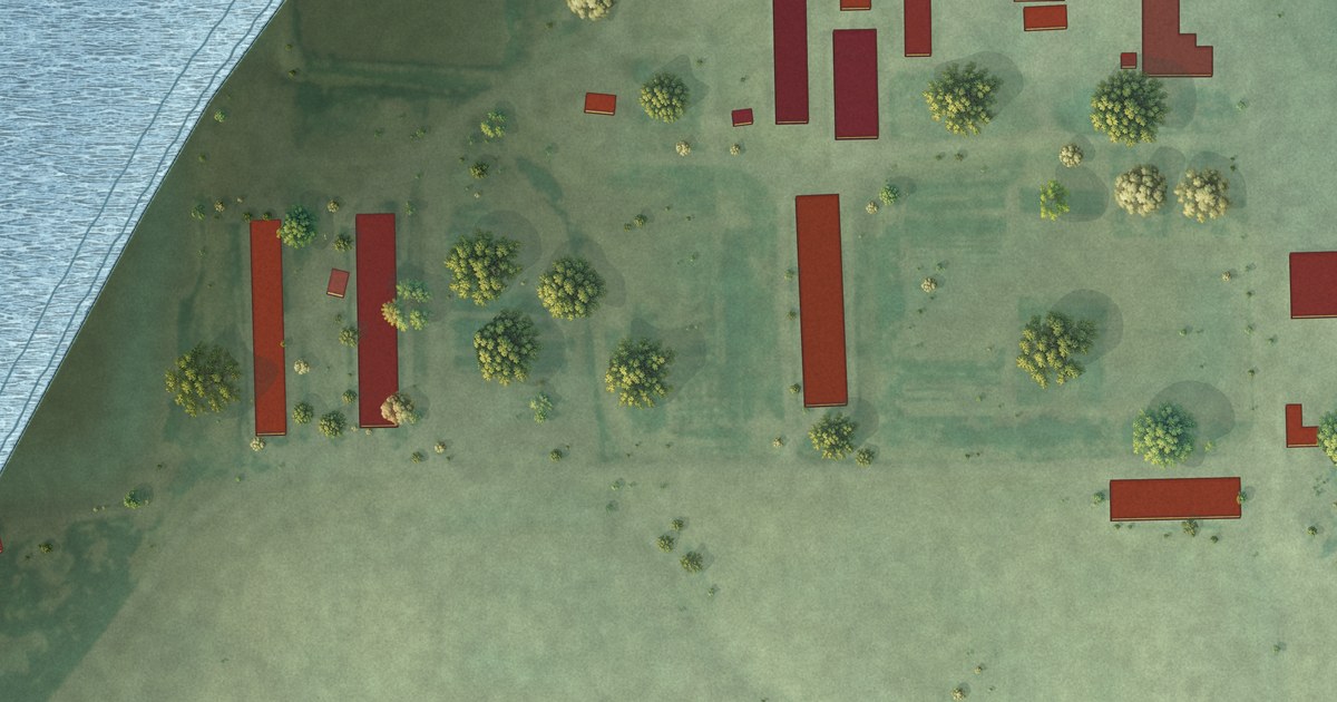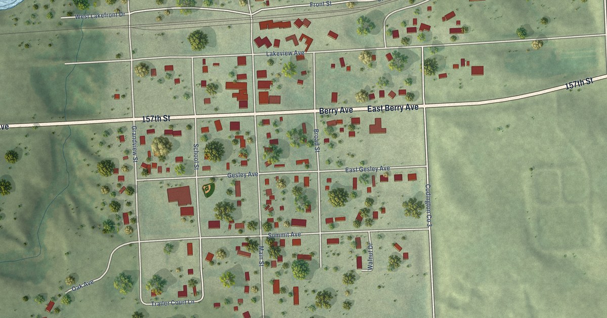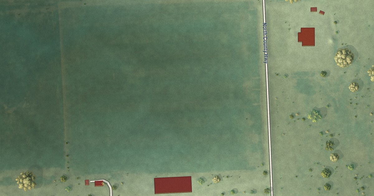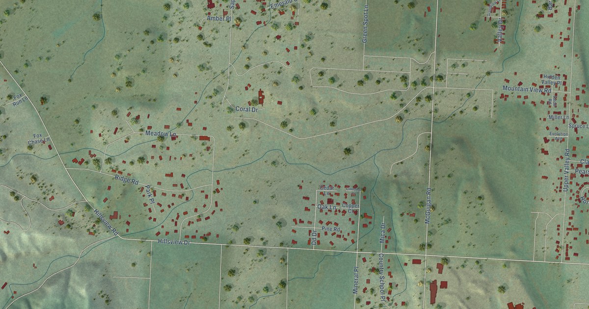
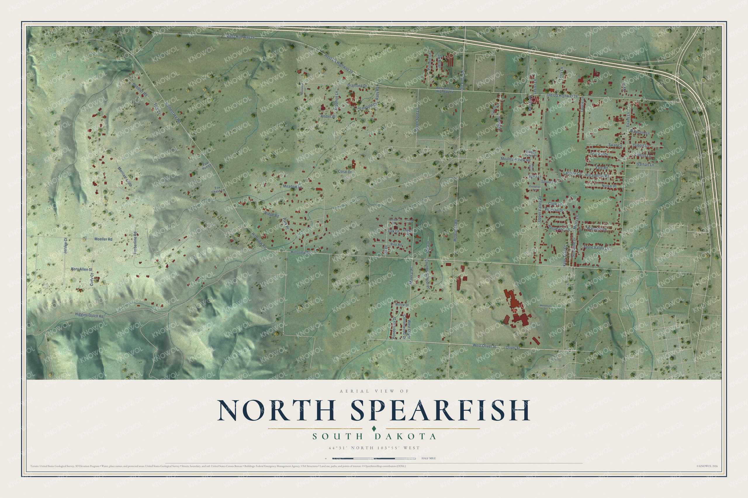
This beautifully detailed map of North Spearfish, South Dakota was created in 2026 using aerial imagery combined with modern topographical, census, street and landmark data. It’s a one-of-a-kind view of North Spearfish that combines accurate data with a vintage aesthetic. The map shows every building in its true location, many of the roads carry their names, and the shaded topographic relief shows the shape of the land.
Explore an aerial view of North Spearfish, South Dakota
On the map you’ll find Mineral Place, along with Homestake Road, Oliver Street, West Oliver Street, Harandona Road, Old Belle Road, Hillsview Drive, Kens Trail Court, McGuigan Road, Ponderosa Drive, West Highway 14, Old US Highway 14, and more. North Spearfish sits about 4 miles northwest of Mountain Plains, 11 miles south of Belle Fourche and 12 miles northwest of Central City. If you look closely you can even find your house accurately drawn in its correct location. Zoom in on the preview to look for yours.
Take a closer look at the North Spearfish map
Names on this map
These names are printed on this map.
Places: Walnut Park.
Streets and roads: Homestake Road, Oliver Street, West Oliver Street, Harandona Road, Old Belle Road, Hillsview Drive, Kens Trail Court, McGuigan Road, Ponderosa Drive, Mineral Place, West Highway 14, Old US Highway 14.
More street names, A to Z
Amber Place, Apple Valley Lane, Ashlee Court, Barrier Place, Cedar Lane, Cinnabar Court, Clark Lane, Cody Court, Copper Court, Coral Drive, Cottonwood Drive, Country School Place, Dd Drive, Diamond Drive, Dubois Lane, Emerald Court, Evans Lane, Evolution Avenue, Fox Chase Lane, Fox Run Lane, Garhart Lane, Gobbler Road, Grandview Drive, Green Spot Lane, Hidden Valley Place, Higgins Gulch Road, Hillsview Road, Horseshoe Lane, Ivy Place, Jerry Road, Knoll Road, Kory Allen Street, Lantern Circle, Lester Lane, Liberty Lane, Lourie Lane, Meadow Lane, Merriam Loop, Merry Lane, Mica Drive, Miller Lane, Moeller Road, Moonstone Lane, Mortensen Lane, Mountain View Road, Nickel Place, Oak Lane, Park Place, Pearson Drive, Pine Road, Pioneer Lane, Pleasant Lane, Rally Road, Ridge Road, Sapphire Lane, Spruce Lane, Sunshine Drive, Swan Lane, Terry Lane, Timberline Road, Tom Court, Tom Ral Drive, Upper Valley Road, Vale Road, Valley Drive, West Old US Highway 14, West Oliver, West US Highway 14, Willow Drive.
See it on a wall
The North Spearfish map as a framed print. Swipe for more.


This beautifully detailed map of North Spearfish makes an attractive addition to your office, library, or den, and it can even be used to teach children the geography and history of the area. It also makes a great gift for anyone who grew up in North Spearfish or moved away. When you’re done exploring, click here to get your copy of the North Spearfish map.