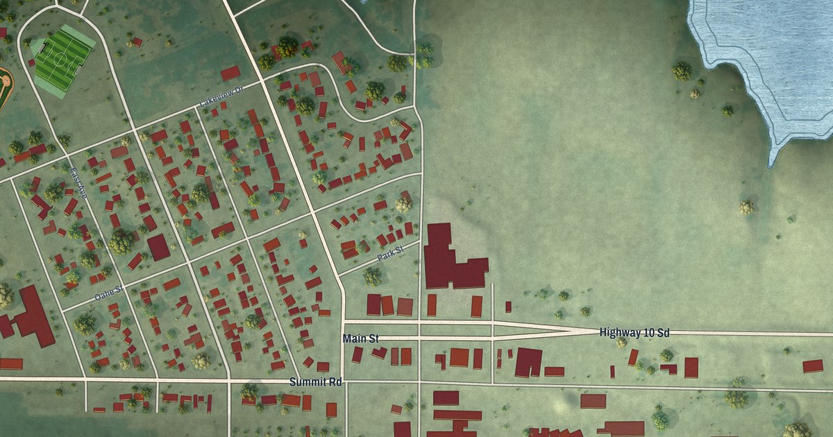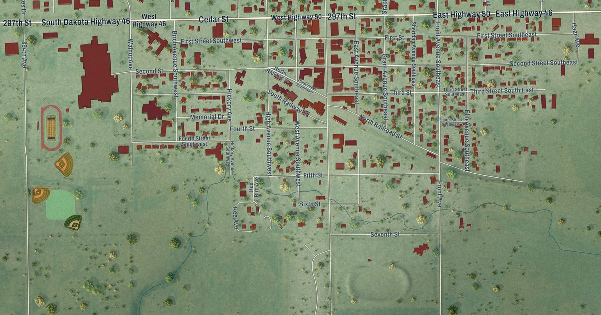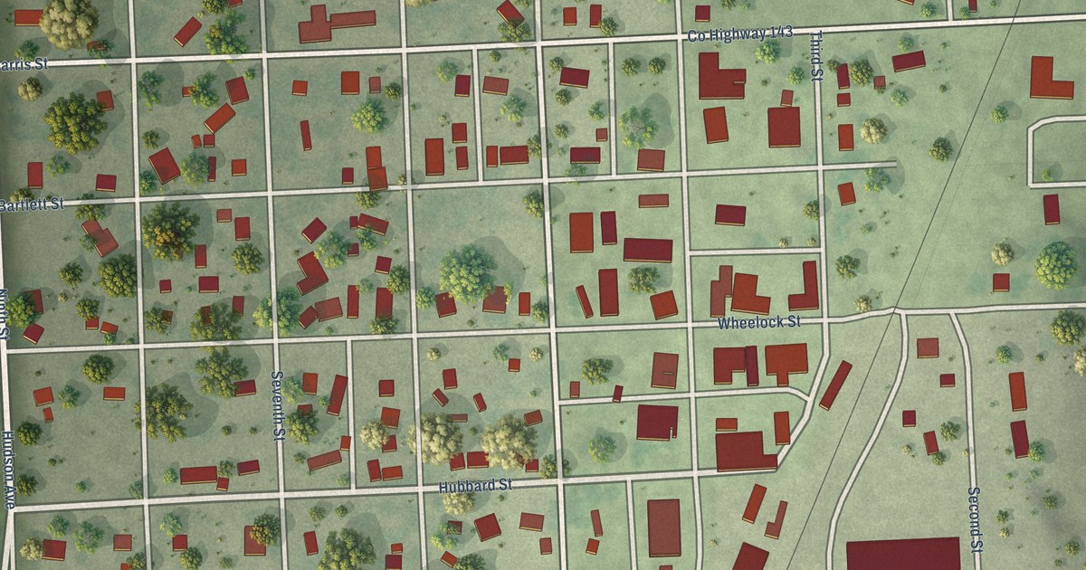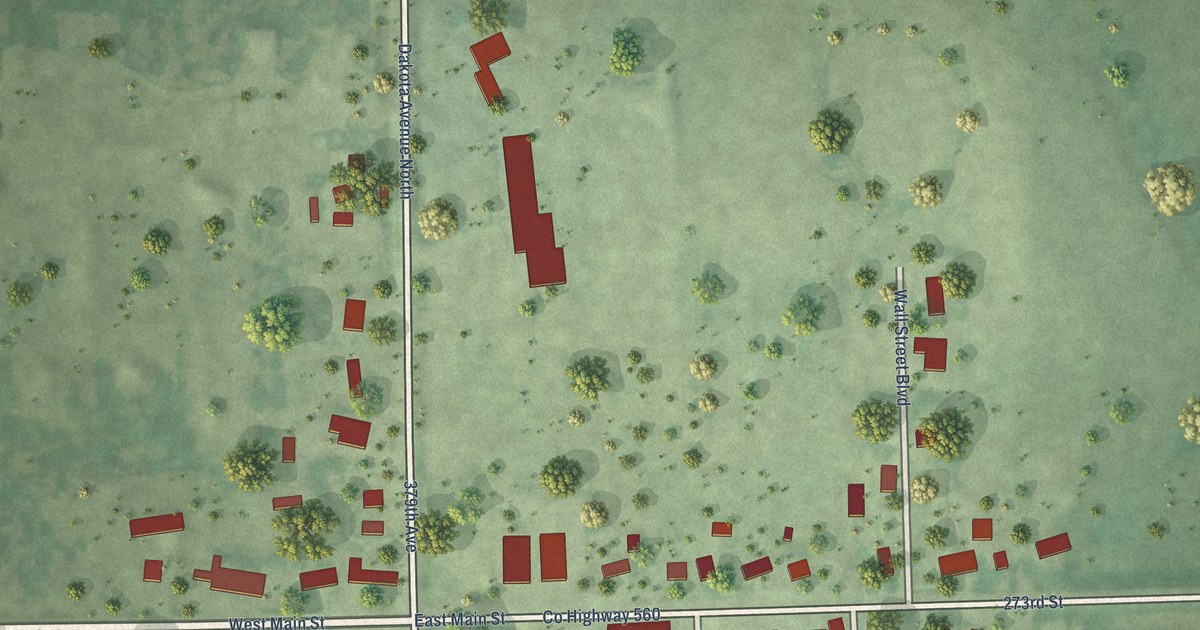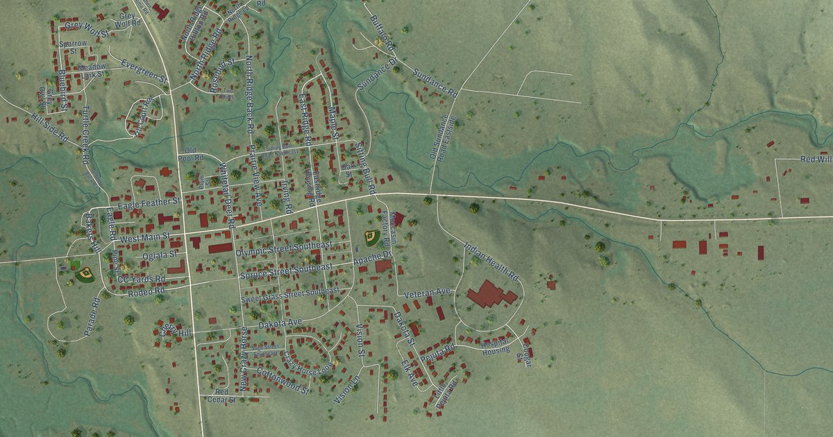
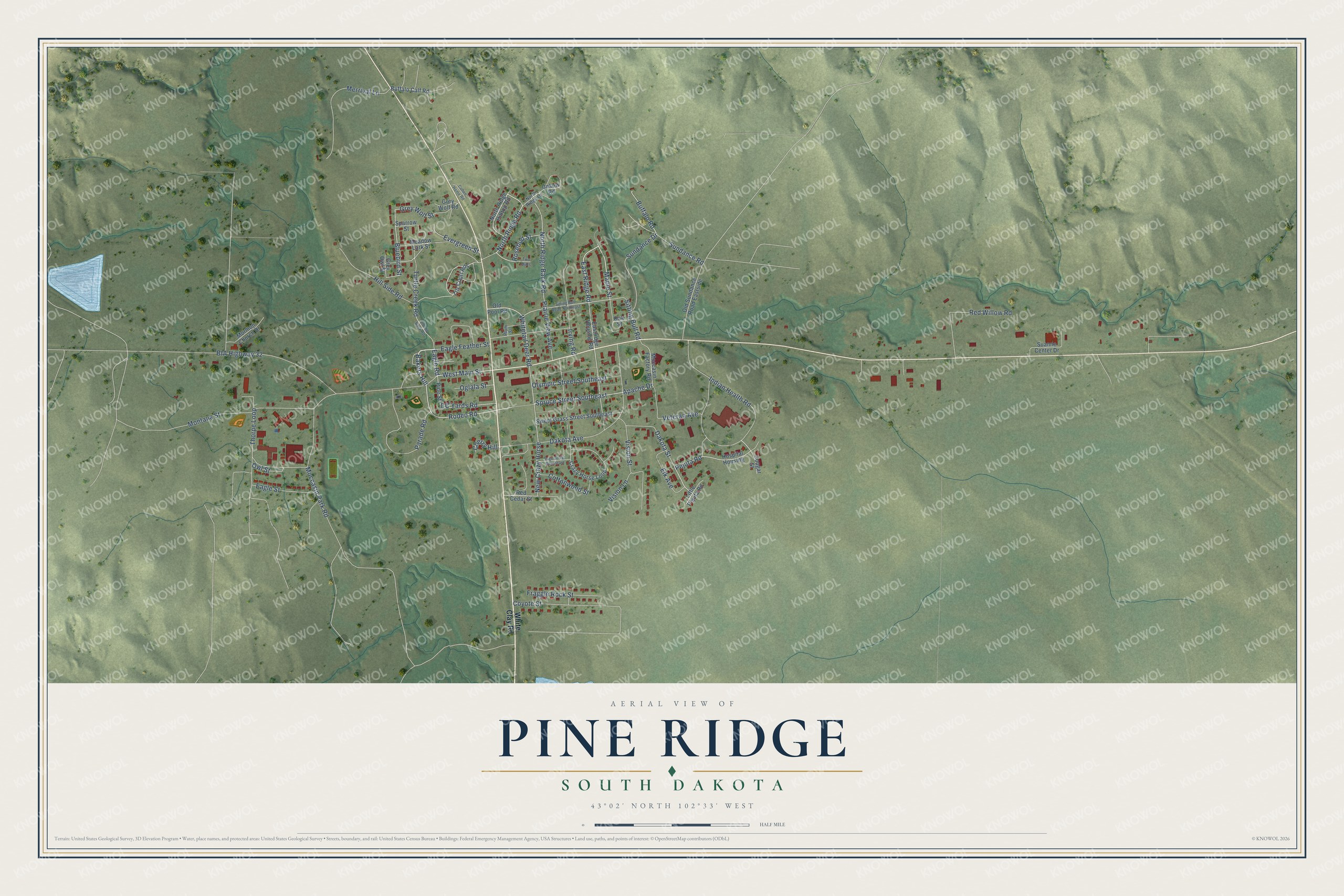
This beautifully detailed map of Pine Ridge, South Dakota was created in 2026 using aerial imagery combined with modern topographical, census, street and landmark data. It's a modern aerial view of Pine Ridge in Oglala Lakota County, South Dakota, that combines modern data with a vintage aesthetic. The roads feature printed names, and if you look closely you can find your exact house accurately shown in its correct location.
Explore an aerial view of Pine Ridge, South Dakota
On this map you'll find Bakers Hill, Eagle Road, Rodeo Road, Spruce Street Southeast, West Main Street, North Ridge Road, East Ridge Road, Whitetail Deer Road, New Crazy Horse, Pejuta Road, Buffalo Road, Moccasin Park Road, and more. Each red shape is a building, so zoom in on the preview and look for yours.
Pine Ridge is a community in Oglala Lakota County. The Census Bureau counted 3,138 people here in 2020. Pine Ridge sits about 12 miles southwest of Wounded Knee, 14 miles southeast of Oglala and 15 miles south of Manderson-White Horse Creek. The map prints the town name in its title panel, with the coordinates below it.
Take a closer look at the Pine Ridge map
Names on this map
These names are printed on this map.
Streets and roads: Bakers Hill, Eagle Road, Rodeo Road, Spruce Street Southeast, West Main Street, North Ridge Road, East Ridge Road, Whitetail Deer Road, New Crazy Horse, Pejuta Road, Buffalo Road, Moccasin Park Road.
More street names, A to Z
Apache Drive, BIA Highway 32, Bluebird Street, Buffalo Calf Road, CC Yards Road, Cherry Hill, Cohen Home Road, Cottonwood Street, Cougar Street, Coyote Street, Crazy Horse Loop, Dakota Avenue, Dakota Street, Eagle Feather Street, Eagle Street, Eastridge Housing Road, Elk Avenue, Evergreen Street, Fraggle Rock Street, Grey Owl Street, Grey Wolf Road, Grey Wolf Street, Hill Side Road, Hospital Housing, Indian Health Road, Irving Road, Little Pejuta Road, Maple Street, Meadow Lark Street, Merrival Lane, Moccasin Factory Road, Montana Street, Mormon Church Drive, North Ridge Back Road, North Ridge Hilltop Road, North Ridge Lp, Oak Street, Oglala Street, Old Ihs Back Road, Old Pool Road, Old Sundance Road Eastside, Olympic Street Southeast, Owl Street, Parade Road, Pine Street, Plum Street, Prairie View Avenue, Red Cedar Street, Red Willow Road, Rosebud Street, Sage Street Southeast, Sitting Bull Road, Sitting Bull Road Northeast, Sparrow Street, Suanne Center Drive, Sundance Drive, Sundance Road, Sweet Grass Street Southeast, Thorpe Loop, Trlr Court Rds, Turtle Creek Road, Two Bulls, Unknw Road, Veteran Avenue, Vision Lane, Vision Street, White Clay Road.
See it on a wall
The Pine Ridge map as a framed print. Swipe for more.


Created by KNOWOL in 2026. The buildings are small red shapes, the roads carry their printed names, and shaded relief shows the shape of the land. The title panel reads "AERIAL VIEW OF PINE RIDGE, SOUTH DAKOTA" with 43°02' NORTH 102°33' WEST.
Hang it in the hallway, the office or the cabin, or give it to someone who left Pine Ridge and still calls it home. Open the preview and look for a street you know. See sizes and frames for the Pine Ridge map.