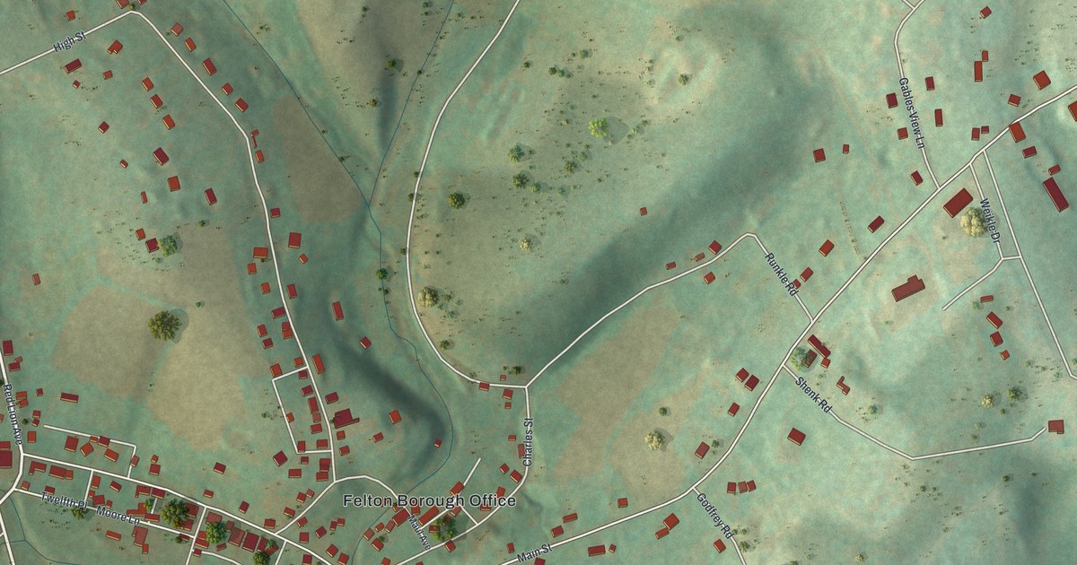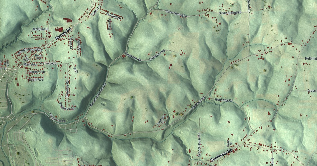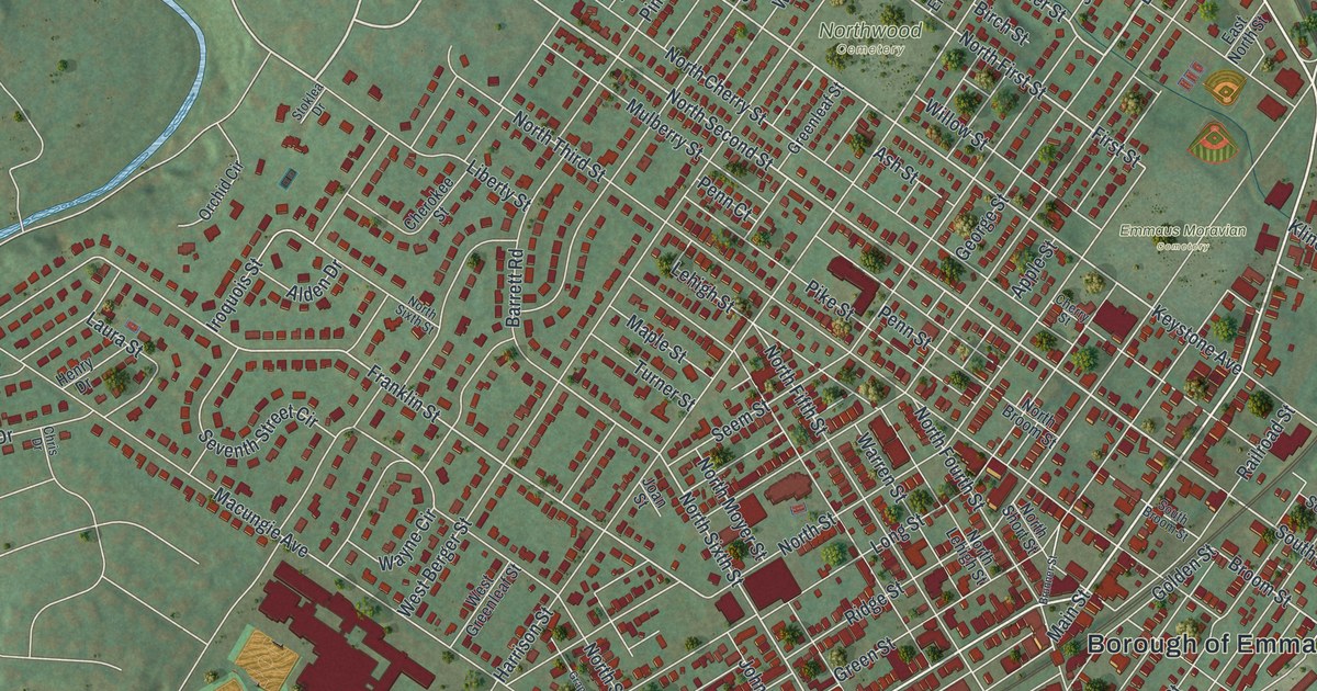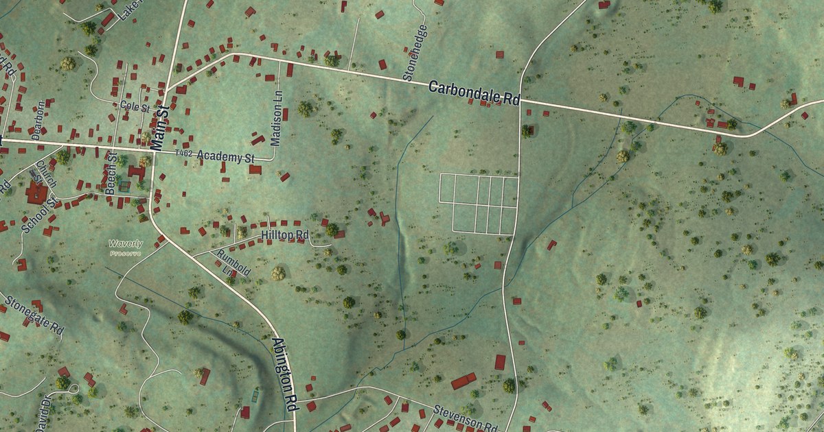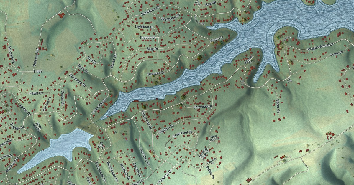
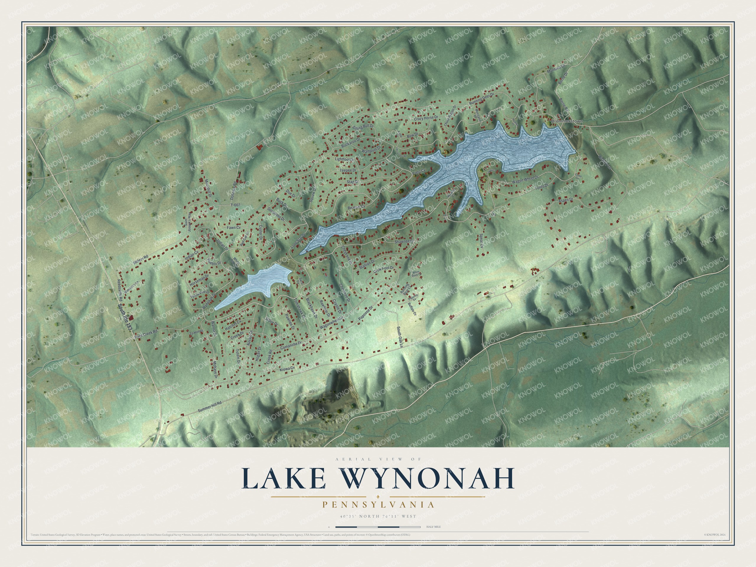
This beautifully detailed map of Lake Wynonah, Pennsylvania was created in 2026 using aerial imagery combined with modern topographical, census, street and landmark data. It's a modern aerial view of Lake Wynonah in Schuylkill County, Pennsylvania, that combines modern data with a vintage aesthetic. The roads feature printed names, and if you look closely you can find your exact house accurately shown in its correct location.
Explore an aerial view of Lake Wynonah, Pennsylvania
On this map you'll find Brommerstown, Wynonah Drive, Wagon Wheel Drive, Papoose Drive, Dohners Road, Fawn Cv, Berne Road, Summer Hill Road, Running Deer Drive, Navajo Drive, Indian Drive, Aspen Drive, and more. Each red shape is a building, so zoom in on the preview and look for yours.
Lake Wynonah has a story worth telling. Lake Wynonah began as a vacation home development. Its developer, American Realty Service Corporation of Memphis, Tennessee, built a 92-foot earth dam on Plum Creek to make a recreational lake, finishing the embankment in July 1971. A lake manager later reported that the new lake filled in a single storm in the summer of 1972. The developer handed the dam and lake over to the Lake Wynonah Property Owner's Association in the summer of 1975. That's from the U.S. Army Corps of Engineers.
Lake Wynonah is a community in Schuylkill County. The Census Bureau counted 2,858 people here in 2020. Lake Wynonah sits about 3 miles south of Schuylkill Haven, 3 miles northeast of Summit Station and 3 miles southeast of Cressona. The map prints the town name in its title panel, with the coordinates below it.
Take a closer look at the Lake Wynonah map
Names on this map
These names are printed on this map.
Places: Brommerstown.
Streets and roads: South Route 183, Wynonah Drive, Wagon Wheel Drive, Papoose Drive, Dohners Road, Fawn Cv, Berne Road, Summer Hill Road, Running Deer Drive, Navajo Drive, Indian Drive, Aspen Drive.
More street names, A to Z
Apache Cv, Arrow Cv, Bearcat Cv, Berne Drive, Blackhawk Drive, Bow Drive, Buckaroo Drive, Buck Drive, Buckskin Cv, Buffalo Cv, Cayuga Cv, Cherokee Drive, Cheyenne Drive, Chuck Wagon Drive, Comanche Drive, Coyote Drive, Crazy Horse Drive, Creek Drive, Creek Road, Crow Foot Drive, Custer Drive, Doe Drive, Eagle Cv, Fort Cv, Geronimo Drive, Hatchet Cv, Hickory Lane, Hogan Drive, Horseman Drive, Indian Cv, Kiowa Cv, Lake Access Road, Lightfoot Drive, Lone Star Drive, Millers Road, Minnich's Lane, Moccasin Drive, Mohave Drive, Montana Drive, Moonhill Drive, Papoose Cv, Pawnee Drive, Pinto Cv, Plum Creek Road, Pueblo Drive, Rawhide Drive, Red Oak Cv, Reedsville Road, Running Bear Cv, Saint Joseph's Way, Sarsi Cv, Shawnee Drive, Sioux Drive, Sitting Bull Drive, South Oak Lane, Spear Cv, Stag Drive, Stallion Drive, T-667, Teepee Drive, To Homes, Tomahawk Drive, Tonto Cv, Tonto Drive, Totem Drive, Wagonwheel Drive, Wampum Drive, Wanna Drive, White Dove Cv, White Oak Cv, Yellow Pine Drive.
See it on a wall
The Lake Wynonah map as a framed print. Swipe for more.


Created by KNOWOL in 2026. The buildings are small red shapes, the roads carry their printed names, and shaded relief shows the shape of the land. The title panel reads "AERIAL VIEW OF LAKE WYNONAH, PENNSYLVANIA" with 40°35' NORTH 76°11' WEST.
It looks right in a kitchen, an office or a den, and it's a gift for anyone who grew up in Lake Wynonah or moved away. Open the preview and find your street. See sizes and frames for the Lake Wynonah map.