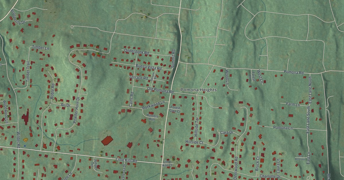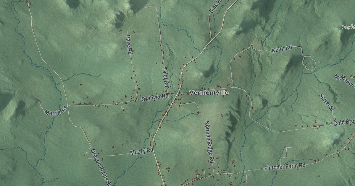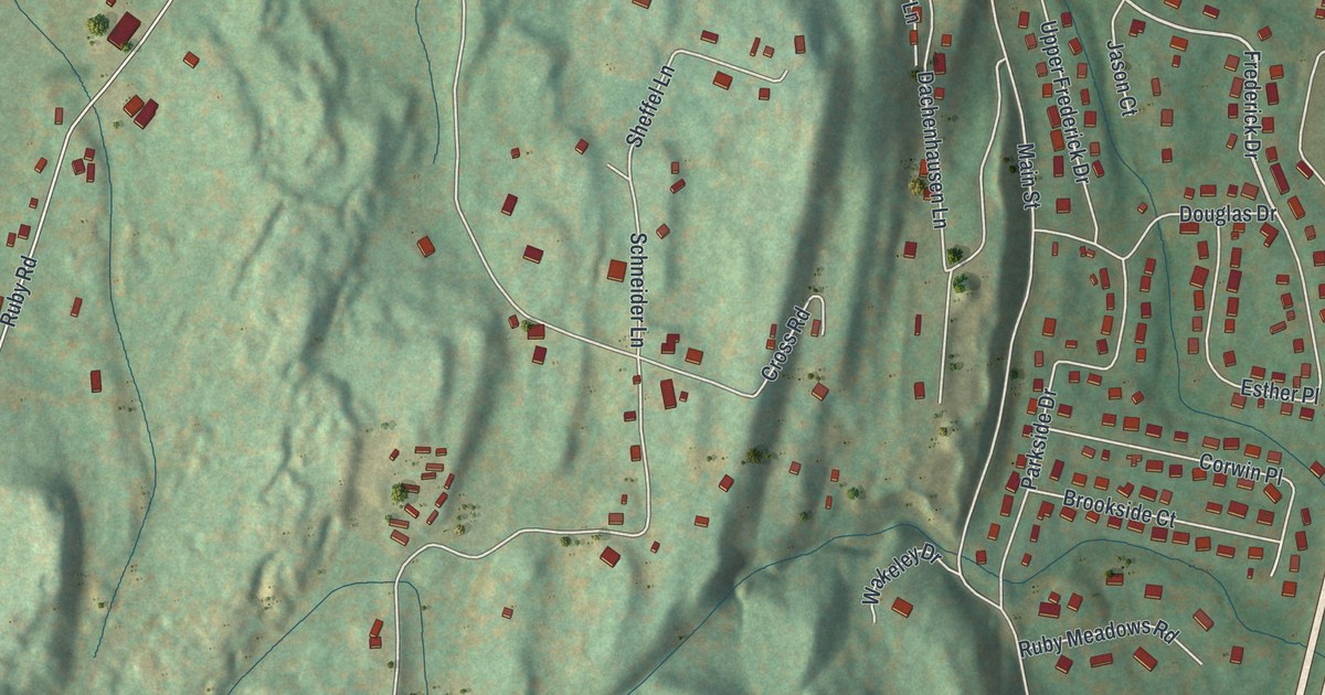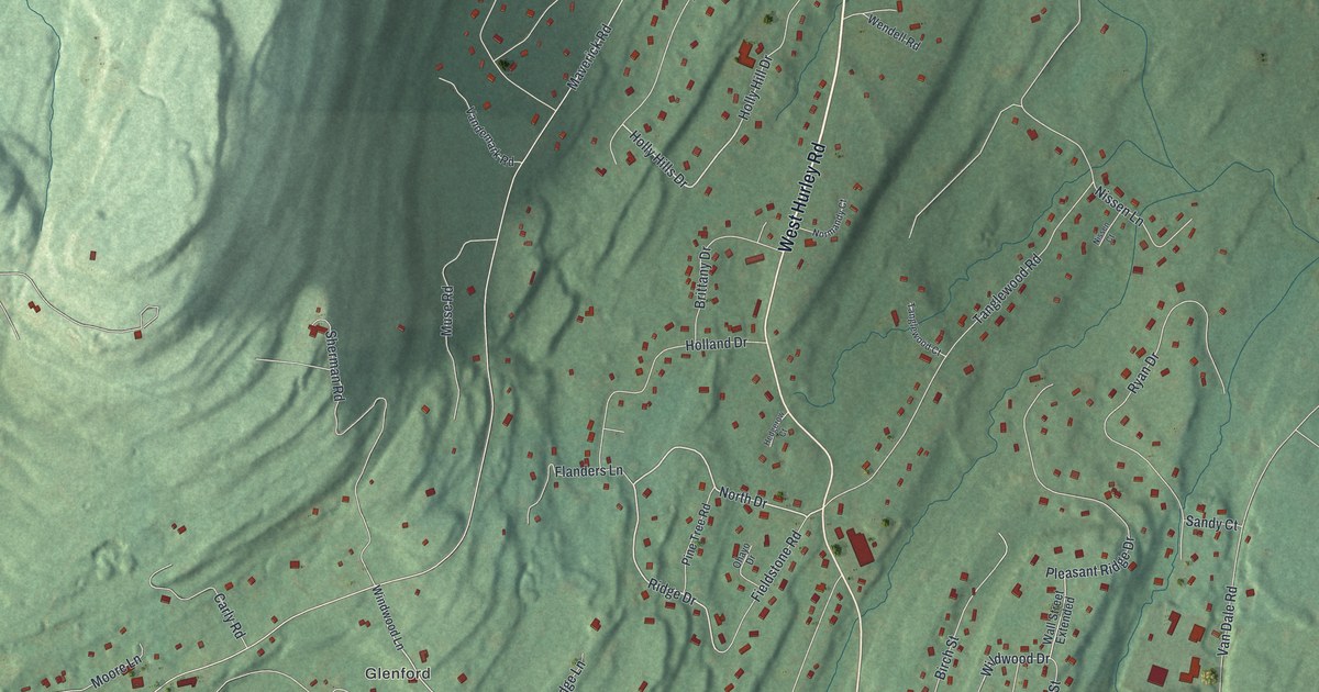
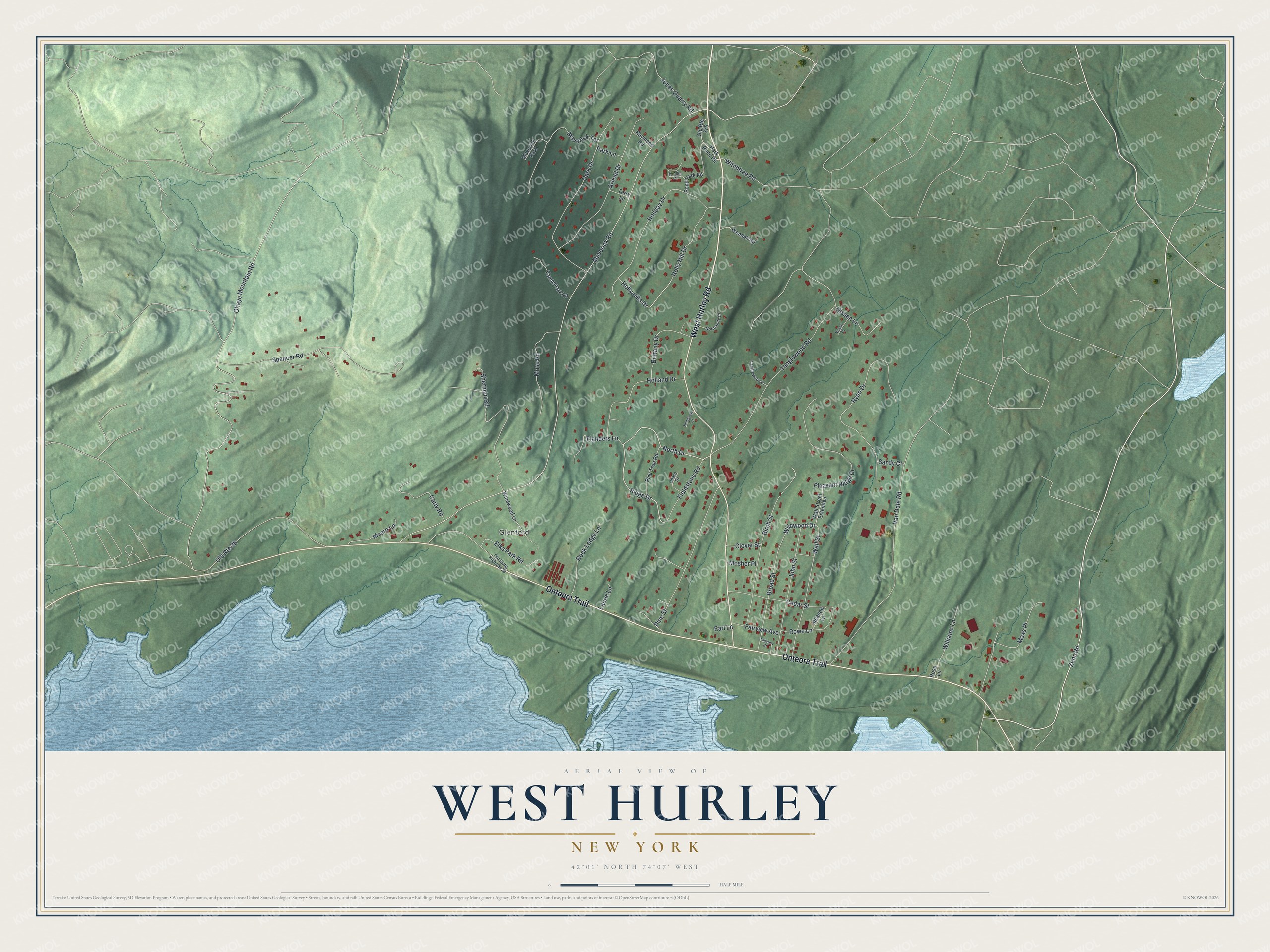
This beautifully detailed map of West Hurley, New York was created in 2026 using aerial imagery combined with modern topographical, census, street and landmark data. It's a modern aerial view of West Hurley in Ulster County, New York, that combines modern data with a vintage aesthetic. The roads feature printed names, and if you look closely you can find your exact house accurately shown in its correct location.
Explore an aerial view of West Hurley, New York
On this map you'll find Glenford, West Hurley Road, Onteora Trail, Zena Road, Ridge Drive, North Drive, Holiday Drive, Maverick Terrace, Holly Hills Drive, Wildwood Drive, Maverick Road, Ohayo Mountain Road, and more. Each red shape is a building, so zoom in on the preview and look for yours.
West Hurley is a community in Ulster County. The Census Bureau counted 1,917 people here in 2020. West Hurley sits about 2 miles southwest of Zena, 2 miles south of Woodstock and 5 miles west of Ruby. The map prints the town name in its title panel, with the coordinates below it.
Take a closer look at the West Hurley map
Names on this map
These names are printed on this map.
Places: Glenford and Maverick Park.
Streets and roads: West Hurley Road, Onteora Trail, Zena Road, Ridge Drive, North Drive, Holiday Drive, Maverick Terrace, Holly Hills Drive, Wildwood Drive, Maverick Road, Ohayo Mountain Road, Tanglewood Road.
More street names, A to Z
Arnold Drive, Birch Street, Brittany Drive, Broad Street, Carly Road, Cedar Street, Clover Street, Earl Lane, Elks Park Road, Fairview Avenue, Fairview Court, Fieldstone Road, Flanders Lane, Hedgerow Court, Holland Drive, Holly Hill Drive, John Street, Jones Quarry Road, Knolls Court, Laurel Lane, Maxs Place, Meadow Lane, Moore Lane, Mosher Place, Muse Road, Nissen Court, Nissen Lane, Normandy Court, Ohayo Drive, Old Route 28, Old Route 375, Old State Highway 28, Park Drive, Park Lane, Park Pond Road, Pine Street, Pine Tree Road, Pleasant Ridge Drive, Pond Park Road, Raymond Road, Rock Ledge Lane, Rose Lane, Rowe Lane, Ryan Drive, Sandy Court, Sherman Road, Spencer Road, Tanglewood Court, Terry Lane, Van Dale Road, Vandemark Road, Wall Street, Wall Street Extended, Wendell Road, Williams Lane, Windwood Lane, Witchtree Road.
See it on a wall
The West Hurley map as a framed print. Swipe for more.


Created by KNOWOL in 2026. The buildings are small red shapes, the roads carry their printed names, and shaded relief shows the shape of the land. The title panel reads "AERIAL VIEW OF WEST HURLEY, NEW YORK" with 42°01' NORTH 74°07' WEST.
It suits a den, a classroom or a front hall, and it makes a gift for anyone with West Hurley roots. Open the preview and find the block you know. See sizes and frames for the West Hurley map.