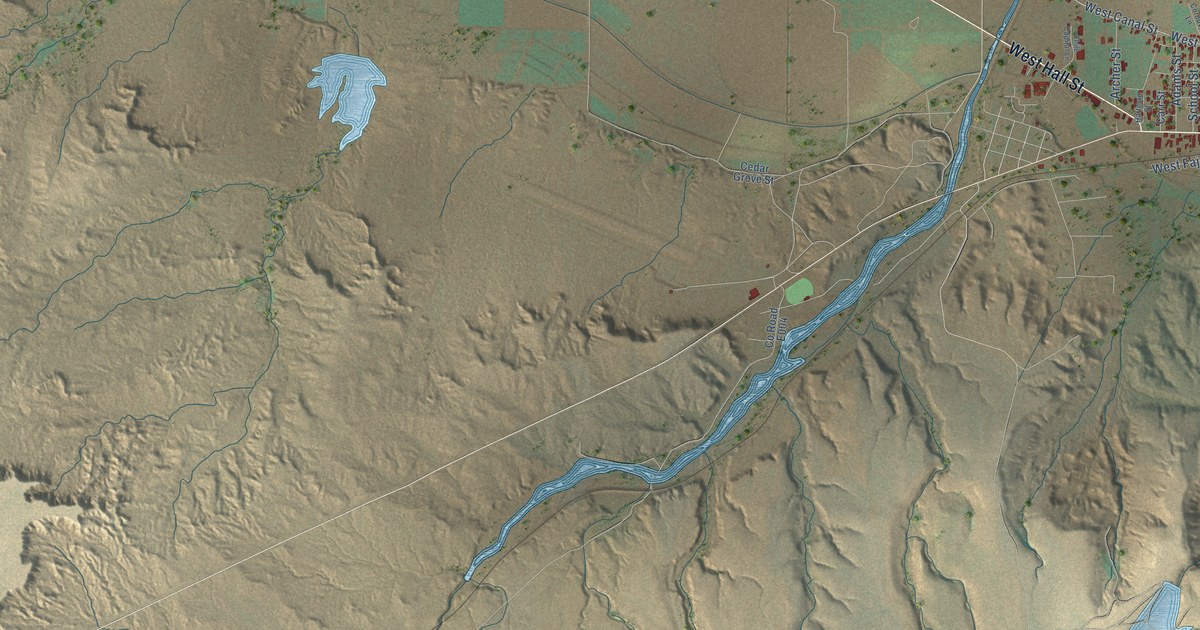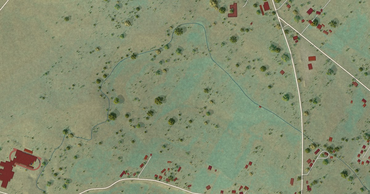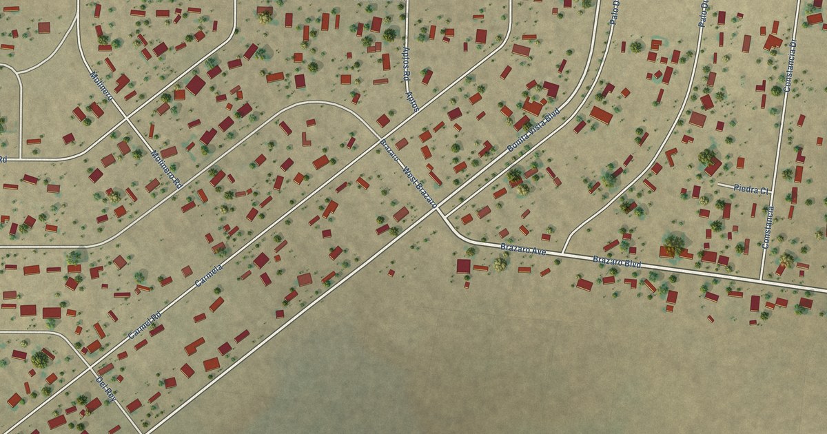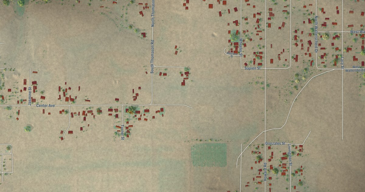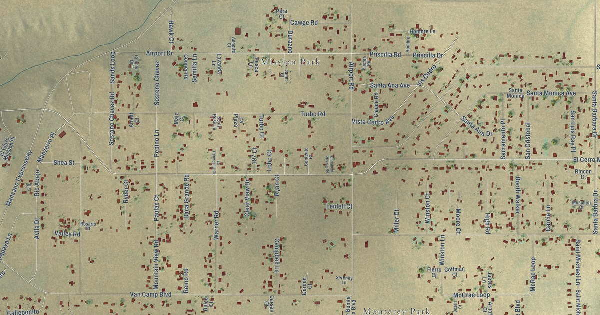
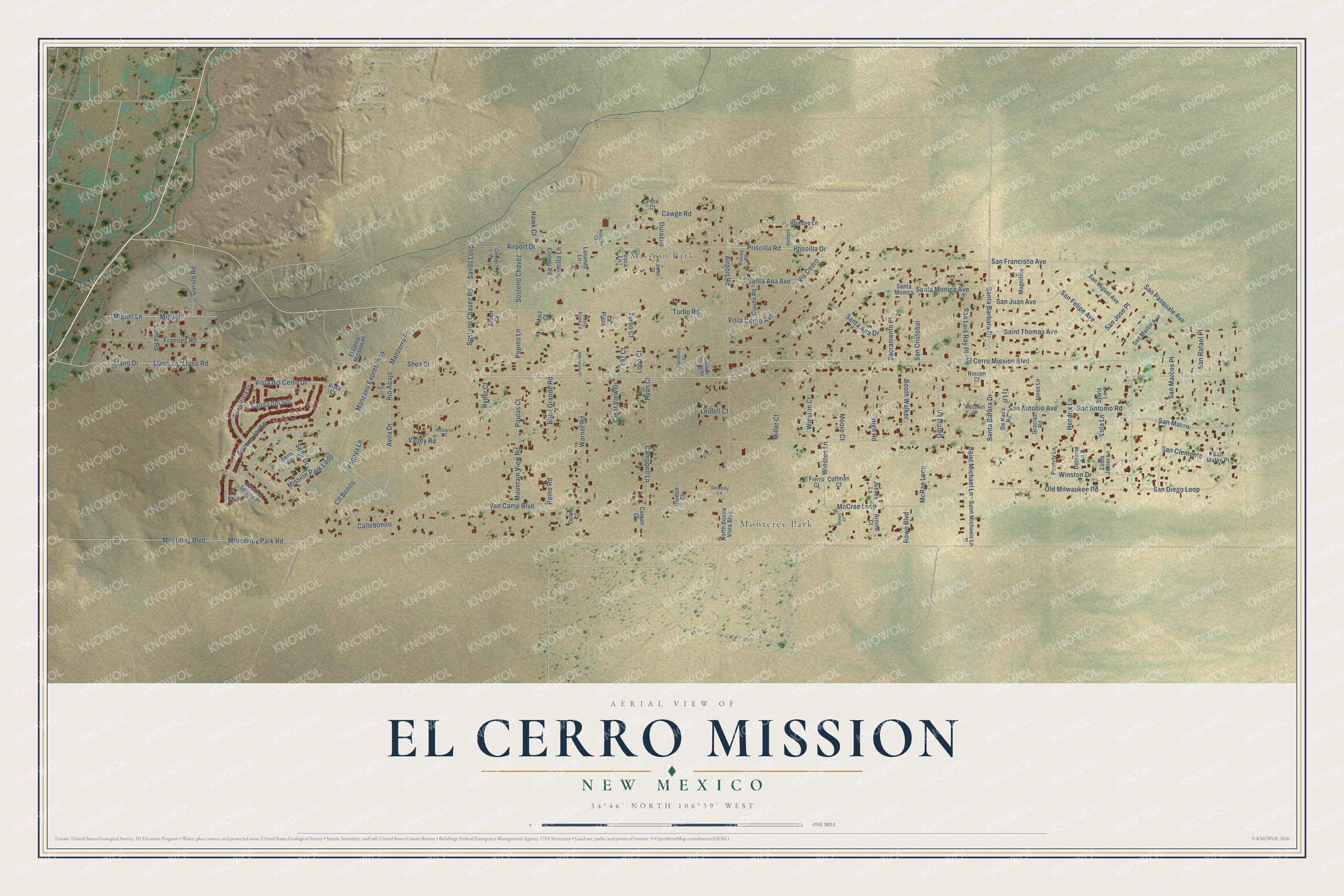
El Cerro Mission is a community of 4,566 in Valencia County, New Mexico. This beautifully detailed map of El Cerro Mission, New Mexico was created in 2026 using aerial imagery combined with modern topographical, census, street and landmark data. It's a modern aerial view of El Cerro Mission in Valencia County, New Mexico, that combines modern data with a vintage aesthetic. The roads feature printed names, and if you look closely you can find your exact house accurately shown in its correct location.
Explore an aerial view of El Cerro Mission, New Mexico
On this map you'll find Monterey Park, Mission Park, El Cerro Mission Boulevard, San Diego Loop, San Jose Place, San Pasquale Avenue, Airport Drive, San Antonio Road, Santa Monica Avenue, Priscilla Drive, Priscilla Road, San Mateo, and more. Each red shape is a building, so zoom in on the preview and look for yours.
El Cerro Mission is a community in Valencia County. The Census Bureau counted 4,566 people here in 2020. El Cerro Mission sits about 3 miles northeast of Las Maravillas, 3 miles southeast of Valencia and 5 miles southeast of Peralta. The map prints the town name in its title panel, with the coordinates below it.
Take a closer look at the El Cerro Mission map
Names on this map
These names are printed on this map.
Places: Monterey Park and Mission Park.
Streets and roads: El Cerro Mission Boulevard, San Diego Loop, San Jose Place, San Pasquale Avenue, Airport Drive, San Antonio Road, Santa Monica Avenue, Priscilla Drive, Priscilla Road, San Mateo, Vista Cedro Avenue, Paulas Court.
More street names, A to Z
197 Court, Airport Road, Annette Court, Arnett Court, Arnold Court, Avenida Sereno Place, Avenue Jardin, Avila Drive, Baca Grande Road, Bell Court, Booth Walker, Callebonito, Campbell Lane, Carsan Court, Cawge Road, Claude Road, Clear View Drive, Cll Bonito, Cll Corto, Coffman Court, Conner Drive, Conner Road, Contento Court, Delovine Lane, De Nada Road, Desert Court, Dulce Court, Durazno, Dusty Rose Lane, El Cerro Mission Place, Fierro Court, Frances Road, Fuente Road, Garcia Lane, Gordon Court, Gracias Road, Gurule Road, Hawk Court, Hendrix Lane, High Road, Hombre, Hombre Lane, Janet Court, Jones Lane, Jueves Lane, La Hermosilla Court, La Plaza, Lavanda Lane, Leidell Court, Llano Drive, Llano Lane, Llano Road, Lobo Court, Lola Lane, Loma Road, Louis Junior Lane, Magnifico, Maiz Court, Manzano Expressway, Manzerro Place, McCrae Loop, McRae Loop, Miguel, Miguel Lane, Miller Court, Mission Park Loop, Monterey Boulevard, Monterrey Park Road, Moore Court, Moscheti Court, Mountain View Road, North Bonita Vista Boulevard, Old Milwaukee Road, Papaya Lane, Pepino Lane, Pera Court, Pesca Lane, Poverty Lane, Reino Road, Rincon Court, Rio Abajo, Rosario Court, Rowe Boulevard, Ryan Court, Ryder Court, Sacramento Place, Saint Michael Lane, Saint Michaels Lane, Saint Thomas Avenue, Salida del Sol, San Antonio Avenue, San Clemente, San Cristobal, Sands Loop, San Felipe Avenue, San Francisco Avenue, San Juan Avenue, San Luis Ray Place, San Marcos Place, San Martin Avenue, San Mateo Place, San Miguel Avenue, San Rafael Place, Santa Ana Avenue, Santa Ana Drive, Santa Barbara Drive, Santa Barbra Drive, Santa Monica, Semilla Lane, Sena Court, Sena Drive, Serenity Lane, Shea Street, Sostano Chavez Road, Sosteno Chavez, Sylvia Lane, Tj Lane, Tome Vista Drive, Turbo Court, Turbo Road, Unnamed Private Road, Valley Road, Van Camp Boulevard, Vis Cedro, Vista Court, Vista del Cerro Drive, Warner Road, Winston Court, Winston Drive, Winston Lane.
See it on a wall
The El Cerro Mission map as a framed print. Swipe for more.


Created by KNOWOL in 2026. The buildings are small red shapes, the roads carry their printed names, and shaded relief shows the shape of the land. The title panel reads "AERIAL VIEW OF EL CERRO MISSION, NEW MEXICO" with 34°46' NORTH 106°39' WEST.
It suits a den, a classroom or a front hall, and it makes a gift for anyone with El Cerro Mission roots. Open the preview and find the block you know. See sizes and frames for the El Cerro Mission map.