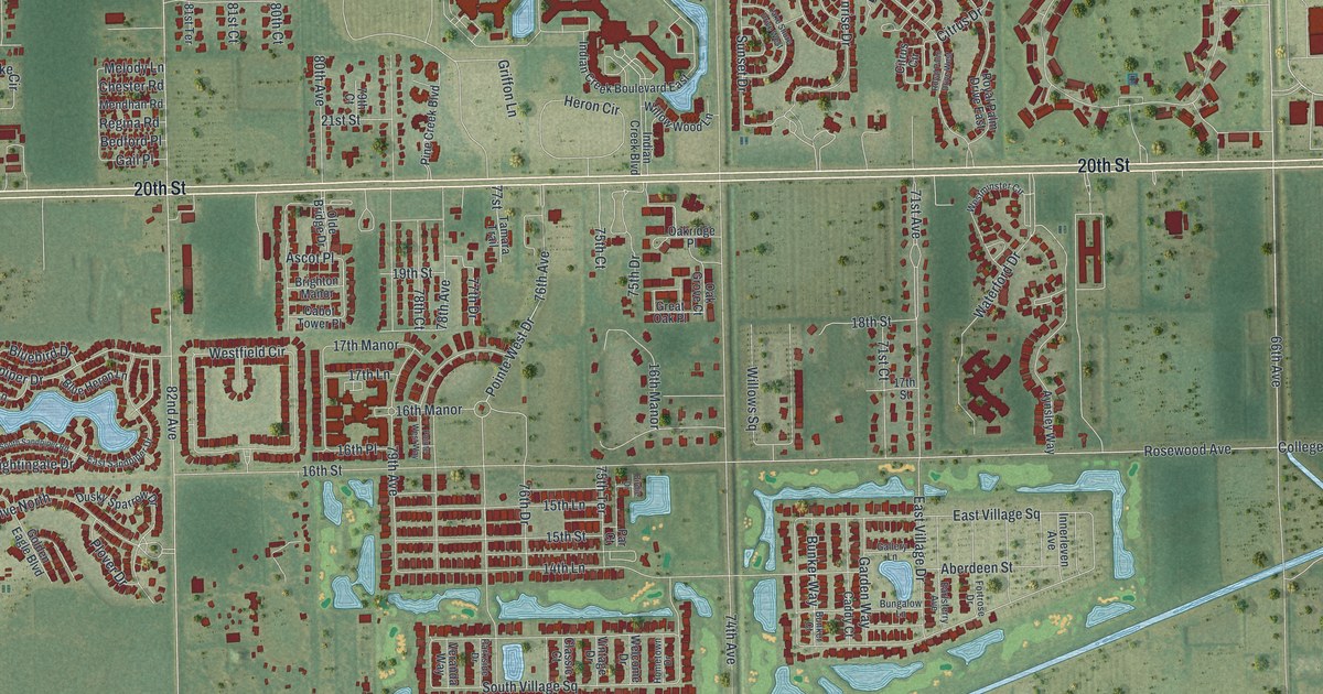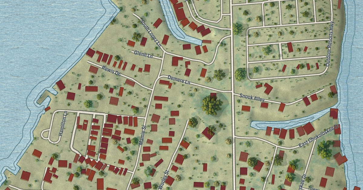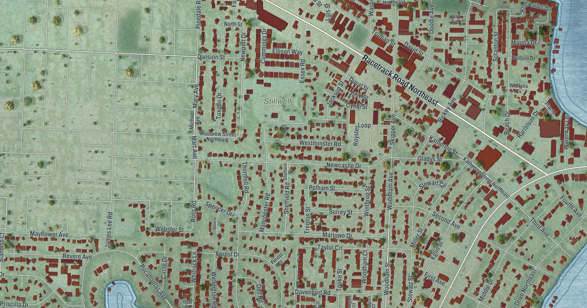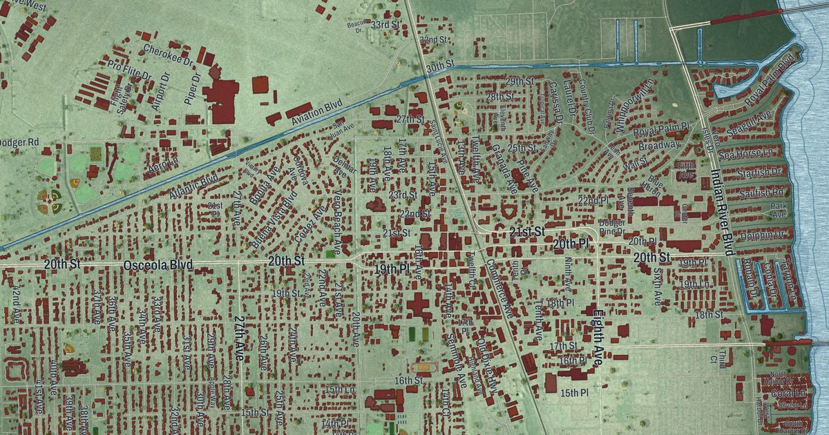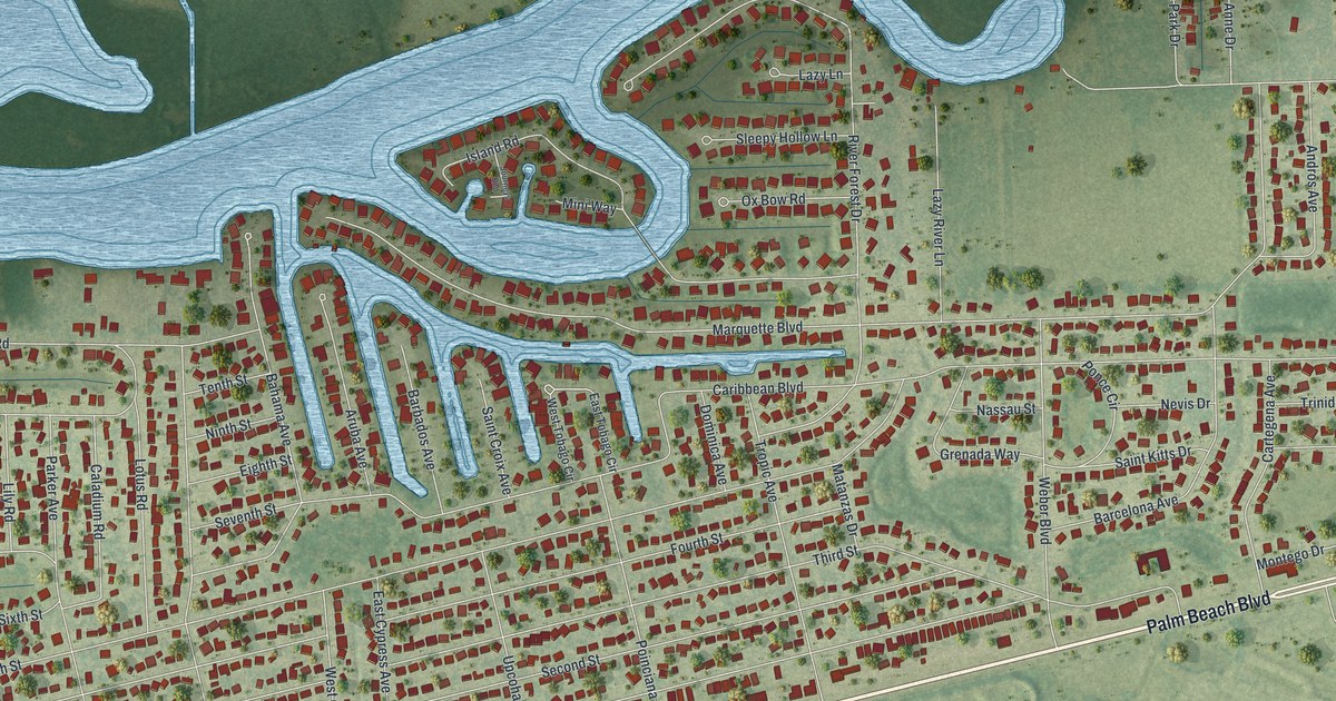
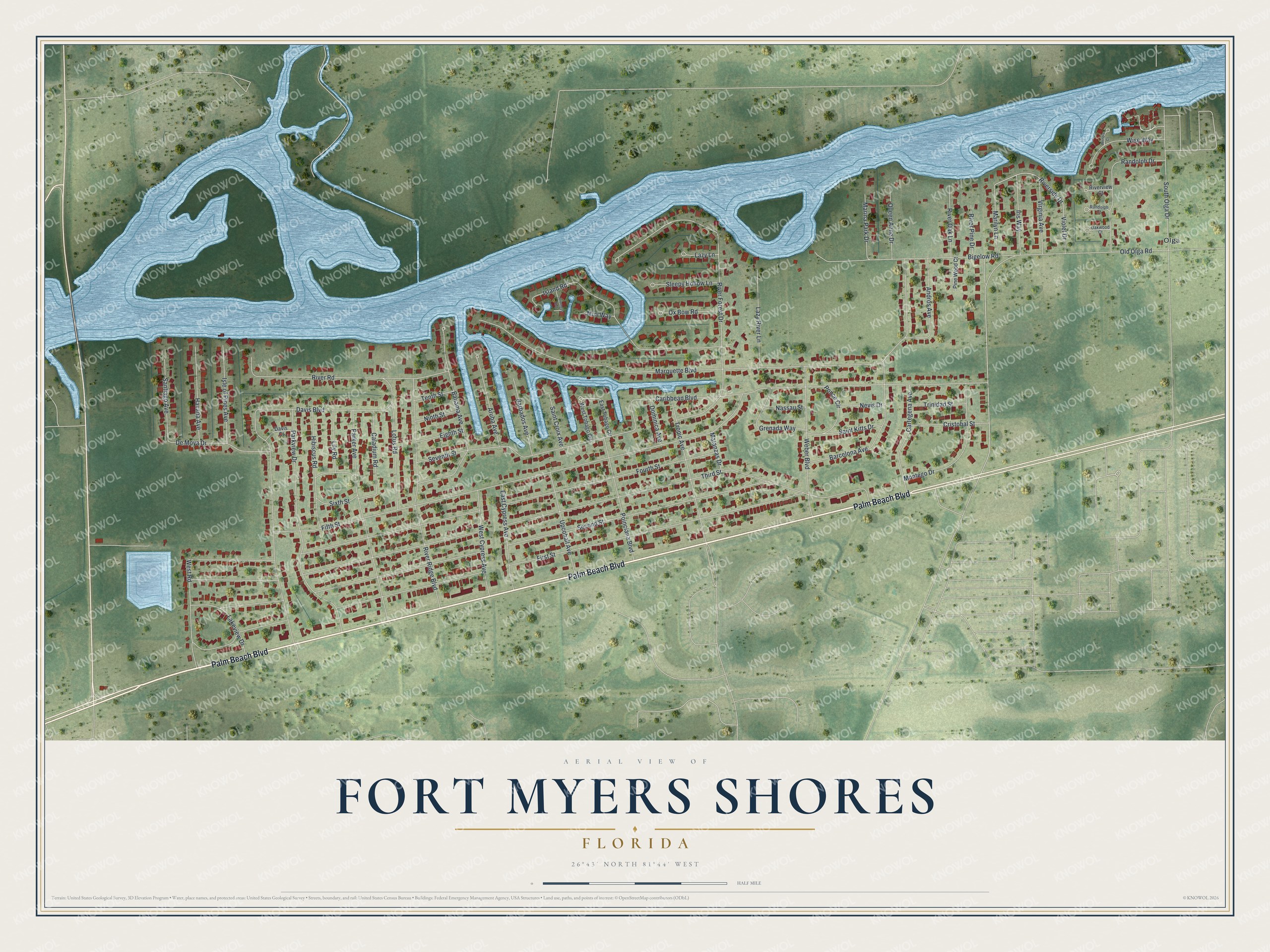
This beautifully detailed map of Fort Myers Shores, Florida was created in 2026 using aerial imagery combined with modern topographical, census, street and landmark data. It's a modern aerial view of Fort Myers Shores in Lee County, Florida, that combines modern data with a vintage aesthetic. The roads feature printed names, and if you look closely you can find your exact house accurately shown in its correct location.
Explore an aerial view of Fort Myers Shores, Florida
On this map you'll find Olga, Palm Beach Boulevard, Old Olga Road, Riverside Drive, Caribbean Boulevard, First Street, Second Street, Fifth Street, Third Street, Fourth Street, Marquette Boulevard, Davis Boulevard, and more. Each red shape is a building, so zoom in on the preview and look for yours.
Fort Myers Shores is a community in Lee County. The Census Bureau counted 5,774 people here in 2020. Fort Myers Shores sits about 3 miles west of Olga, 5 miles north of Buckingham and 5 miles northeast of Tice. The map prints the town name in its title panel, with the coordinates below it.
Take a closer look at the Fort Myers Shores map
Names on this map
These names are printed on this map.
Places: Olga.
Streets and roads: Palm Beach Boulevard, Old Olga Road, Riverside Drive, Caribbean Boulevard, First Street, Second Street, Fifth Street, Third Street, Fourth Street, Marquette Boulevard, Davis Boulevard, River Forest Drive.
More street names, A to Z
Andros Avenue, Aruba Avenue, Bahama Avenue, Barbados Avenue, Barcelona Avenue, Bigelow Road, Caladium Road, Cartegena Avenue, Cristobal Street, Davis Court, De Moya Drive, Dominica Avenue, East Cypress Avenue, East Tobago Circle, Eighth Street, Grenada Way, Havana Avenue, Hibiscus Road, Iris Way, Island Road, Isle of Pines Avenue, Journeys End, Lakeview Drive, Lazy Lane, Lazy River Lane, Lily Road, Lotus Road, Marilyn Lane, Marina Park Drive, Matanzas Drive, Mini Way, Montego Drive, Nassau Street, Nevis Drive, Ninth Street, Oakwood Court, Ox Bow Road, Parker Avenue, Parkview Drive, Pine Wood Court, Poinciana Boulevard, Ponce Circle, Queen Anne Drive, Randolph Court, Randolph Drive, River Oak Lane, River Pine Drive, River Ridge Boulevard, River Road, Riverview Court, Saint Croix Avenue, Saint Kitts Drive, Santiago Avenue, Seventh Street, Sixth Street, Sleepy Hollow Lane, South Olga Drive, Tenth Street, Trinidad Street, Tropic Avenue, Upcohall Avenue, Violet Drive, Virginia Avenue, Weber Boulevard, Wenola Court, West Cypress Avenue, West Road, West Tobago Circle, Wise Way.
See it on a wall
The Fort Myers Shores map as a framed print. Swipe for more.


Created by KNOWOL in 2026. The buildings are small red shapes, the roads carry their printed names, and shaded relief shows the shape of the land. The title panel reads "AERIAL VIEW OF FORT MYERS SHORES, FLORIDA" with 26°43' NORTH 81°44' WEST.
It looks right in a kitchen, an office or a den, and it's a gift for anyone who grew up in Fort Myers Shores or moved away. Open the preview and find your street. See sizes and frames for the Fort Myers Shores map.