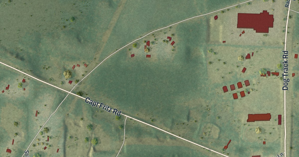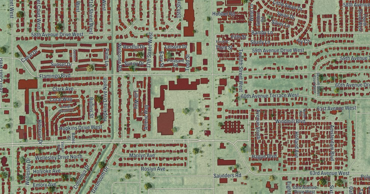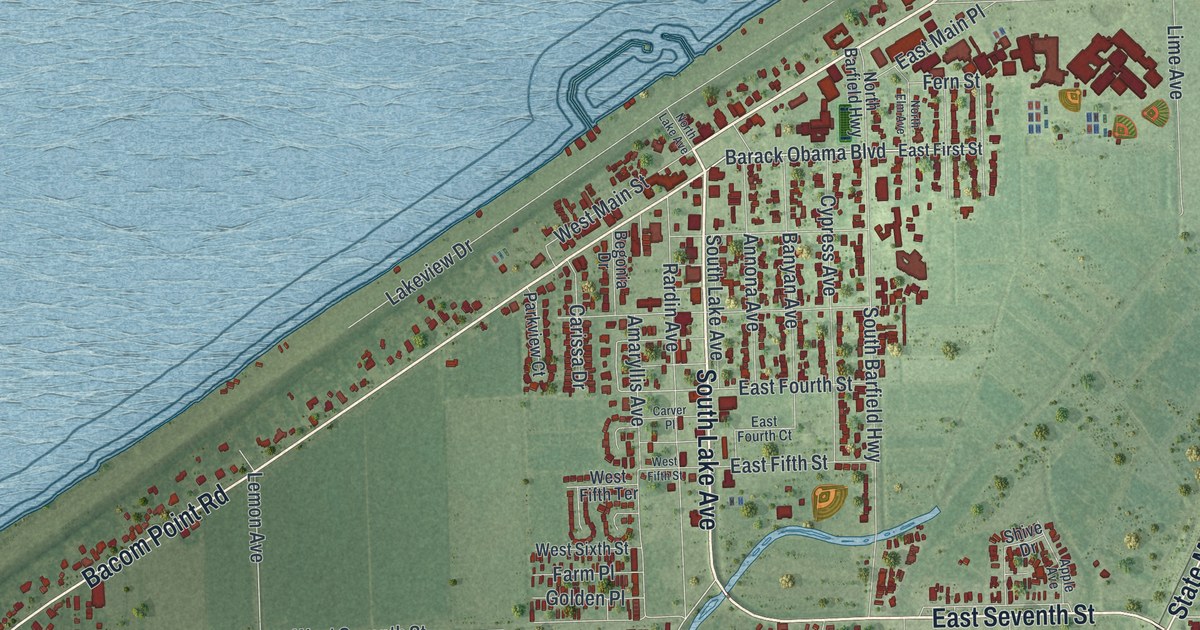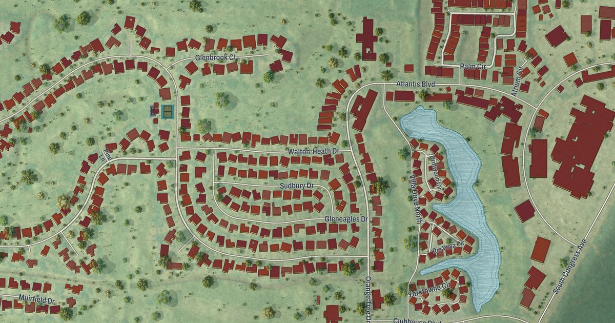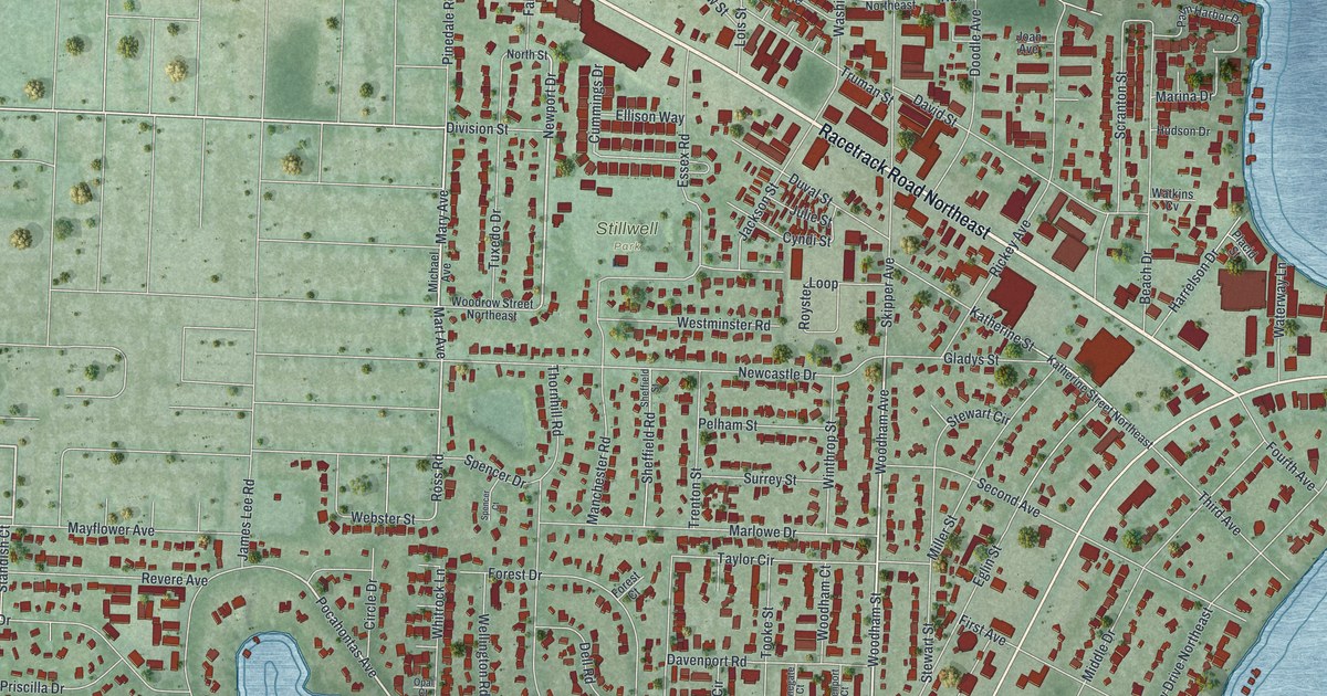
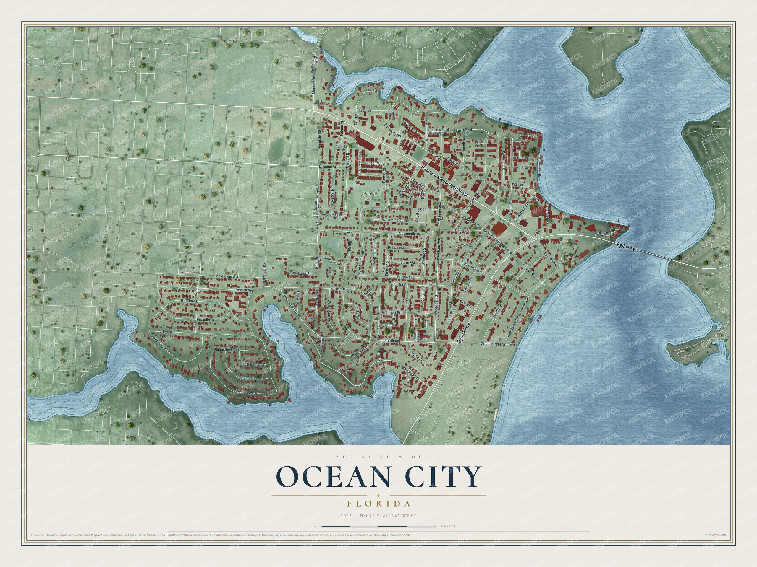
This beautifully detailed map of Ocean City, Florida was created in 2026 using aerial imagery combined with modern topographical, census, street and landmark data. It's a modern aerial view of Ocean City in Okaloosa County, Florida, that combines modern data with a vintage aesthetic. The roads feature printed names, and if you look closely you can find your exact house accurately shown in its correct location.
Explore an aerial view of Ocean City, Florida
On this map you'll find Stillwell Park, Racetrack Road Northeast, Eglin Parkway, Monahan Drive, South Avenue, Woodham Avenue, Woodham Street, Pocahontas Avenue, Newport Drive, Mary Avenue, Ross Road, Katherine Street, and more. Each red shape is a building, so zoom in on the preview and look for yours.
Ocean City is a community in Okaloosa County. The Census Bureau counted 6,314 people here in 2020. Ocean City sits about 2 miles east of Wright, 2 miles west of Lake Lorraine and 4 miles northeast of Mary Esther. The map prints the town name in its title panel, with the coordinates below it.
Take a closer look at the Ocean City map
Names on this map
These names are printed on this map.
Places: Stillwell Park.
Streets and roads: Racetrack Road Northeast, Eglin Parkway, Monahan Drive, South Avenue, Woodham Avenue, Woodham Street, Pocahontas Avenue, Newport Drive, Mary Avenue, Ross Road, Katherine Street, Pocahontas Drive.
More street names, A to Z
Alden Drive, Barrow Street, Bayou Drive, Beach Drive, Beachview Drive Northeast, Bella Vista Road, Bradford Drive, Circle Drive, Cove Drive, Cummings Drive, Cyndi Street, Davenport Court, Davenport Road, David Street, Dell Road, Division Street, Don Drive, Doodle Avenue, Duval Street, Eglin Street, Ellison Way, Essex Road, Falcon Place, First Avenue, Forest Breeze Court, Forest Court, Forest Drive, Fourth Avenue, Gladys Street, Harlan Avenue, Harrelson Drive, Harris Boulevard, Harris Road Northeast, Hawthorne Circle, Hudson Drive, Jackson Street, James Lee Road, Jamestown Avenue, Joan Avenue, Julie Street, Katherine Street Northeast, Lafitte Crescent, Lighthouse Road, Lois Street, Manchester Road, Marina Drive, Marlowe Drive, Mart Avenue, Mayfair Street, Mayflower Avenue, Merle Circle, Michael Avenue, Middle Drive, Miller Street, Monahan Court, Mooney Road, Mooney Road Northwest, Newcastle Drive, North Street, Opal Court, Palm Harbor Drive, Pelham Street, Pilgrim Avenue, Pinedale Road, Placid Street, Plymouth Avenue, Priscilla Drive, Revere Avenue, Rickey Avenue, Royster Loop, Scranton Street, Second Avenue, Sheffield Road, Sheffield Street, Skinner Circle, Skipper Avenue, South Street Northeast, Spencer Court, Spencer Drive, Standish Court, Standish Lane, Stewart Circle, Stewart Street, Stonegate Court, Surrey Street, Tac Court, Taylor Circle, Taylor Street, Third Avenue, Thornhill Road, Tiki Too Avenue, Tooke Street, Trenton Street, Truman Street, Tuxedo Drive, Washington Street, Waterway Lane, Watkins Cv, Webster Street, Wellington Road, Westminster Road, Whitrock Lane, Whits Manor Road, Winthrop Street, Woodham Court, Woodrow Street Northeast, Zachary Lane.
See it on a wall
The Ocean City map as a framed print. Swipe for more.


Created by KNOWOL in 2026. The buildings are small red shapes, the roads carry their printed names, and shaded relief shows the shape of the land. The title panel reads "AERIAL VIEW OF OCEAN CITY, FLORIDA" with 30°26' NORTH 86°36' WEST.
Hang it in the hallway, the office or the cabin, or give it to someone who left Ocean City and still calls it home. Open the preview and look for a street you know. See sizes and frames for the Ocean City map.