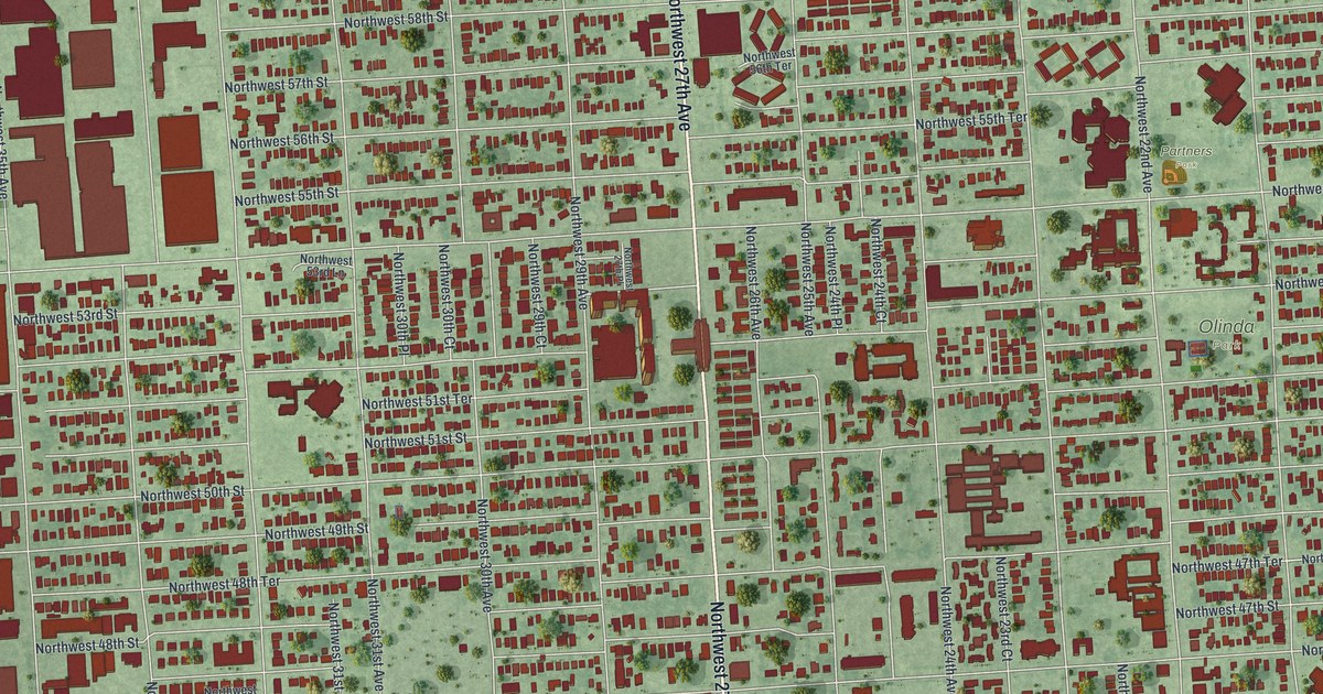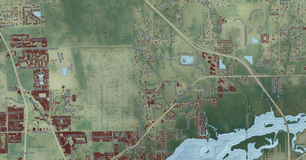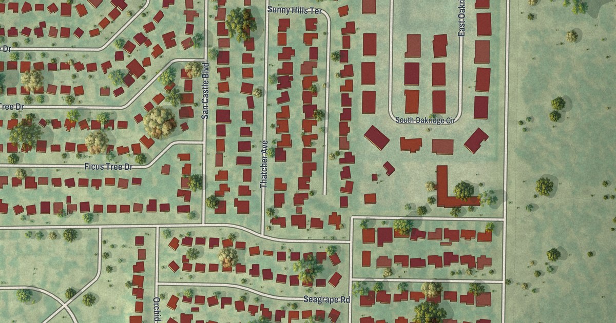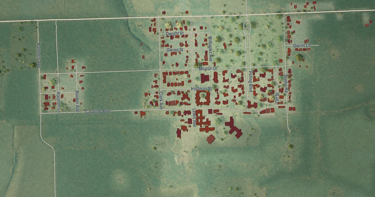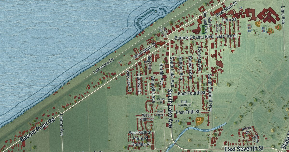
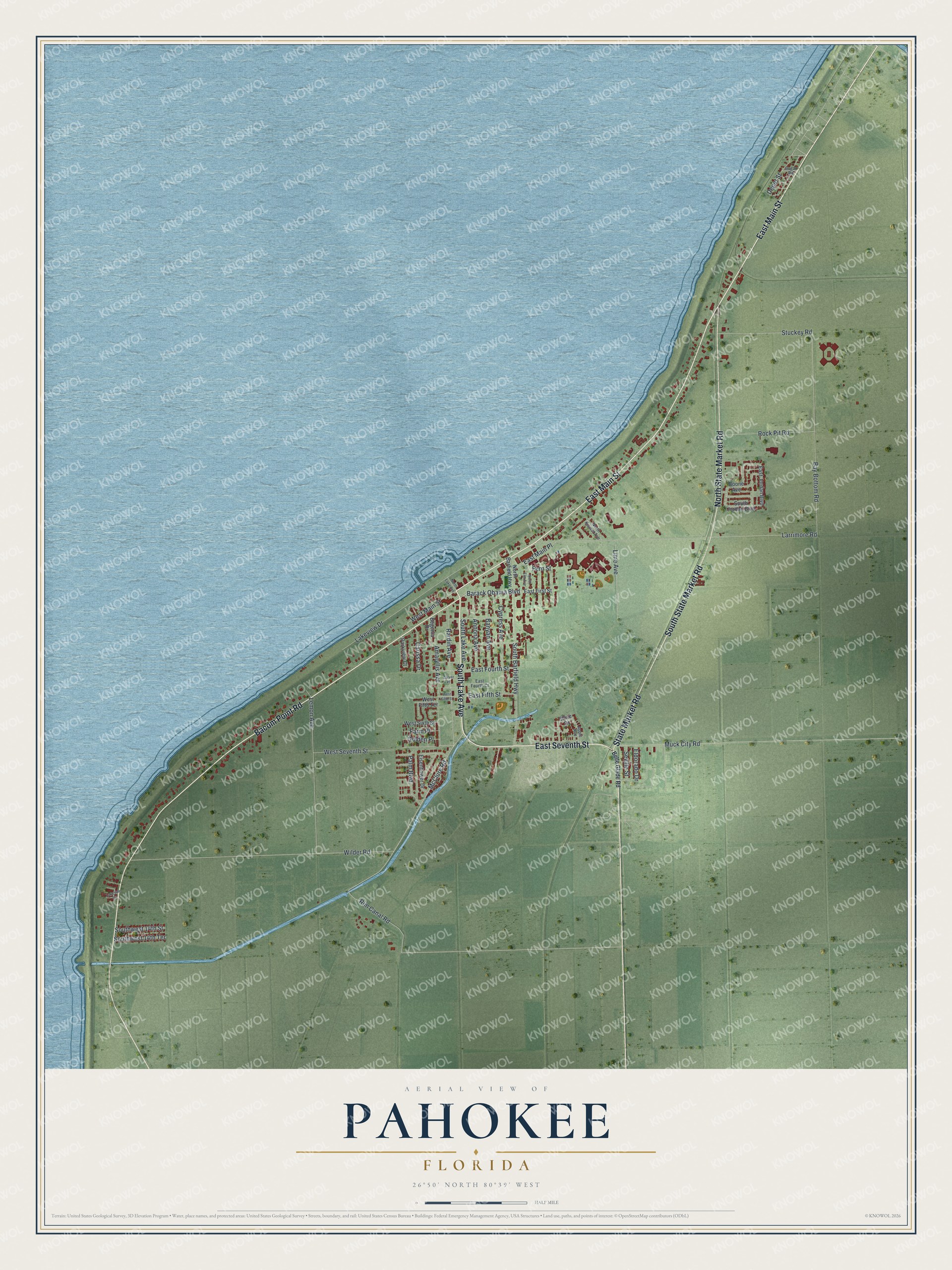
This beautifully detailed map of Pahokee, Florida was created in 2026 using aerial imagery combined with modern topographical, census, street and landmark data. It’s a one-of-a-kind view of Pahokee that combines accurate data with a vintage aesthetic. The map shows every building in its true location, many of the roads carry their names, and the shaded topographic relief shows the shape of the land.
Explore an aerial view of Pahokee, Florida
On the map you’ll find East Main Street, South Lake Avenue, Bacom Point Road, East Seventh Street, State Market Road, South State Market Road, North State Market Road, Barack Obama Boulevard, McClure Road, Rim Canal Road, Bay Bottom Road, Larrimore Road, and more. If you look closely you can even find your house accurately drawn in its correct location. Zoom in on the preview to look for yours.
Did You Know?
Pahokee takes its name from a Creek word meaning grassy waters. The city was incorporated in 1922. It grew on crops raised in the rich muck left after part of the Everglades was drained. In the 1930s it was called the Winter Vegetable Capital of the World.
Take a closer look at the Pahokee map
Names on this map
These names are printed on this map.
Streets and roads: East Main Street, South Lake Avenue, Bacom Point Road, East Seventh Street, State Market Road, South State Market Road, North State Market Road, Barack Obama Boulevard, McClure Road, Rim Canal Road, Bay Bottom Road, Larrimore Road.
More street names, A to Z
Amaryllis Avenue, Annona Avenue, Apple Avenue, Banyan Avenue, Begonia Drive, Belle Glade Road, Boone Avenue, Carissa Drive, Carver Place, Cypress Avenue, Depot Street, East Fifth Street, East First Street, East Fourth Court, East Fourth Street, East Jordan Boulevard, East Main Place, Eisenhower Drive, Eldorado Drive, Farm Place, Fern Street, Golden Place, Lakeside Circle, Lakeview Drive, Lemon Avenue, Lime Avenue, Muck City Road, North Barfield Highway, North Elm Avenue, North Kismet Avenue, North Lake Avenue, Palm Boulevard, Parkview Court, Rardin Avenue, Rock Pit Road, Seville Street, Shive Drive, South Barfield Highway, South Jordan Boulevard, Southwest 14th Street, Southwest 14th Terrace, Stuckey Road, Sugar Road, West Fifth Street, West Fifth Terrace, West Main Street, West Seventh Street, West Sixth Street, Wilder Road.
See it on a wall
The Pahokee map as a framed print. Swipe for more.


This beautifully detailed map of Pahokee makes an attractive addition to your office, library, or den, and it can even be used to teach children the geography and history of the area. It also makes a great gift for anyone who grew up in Pahokee or moved away. When you’re done exploring, click here to get your copy of the Pahokee map.