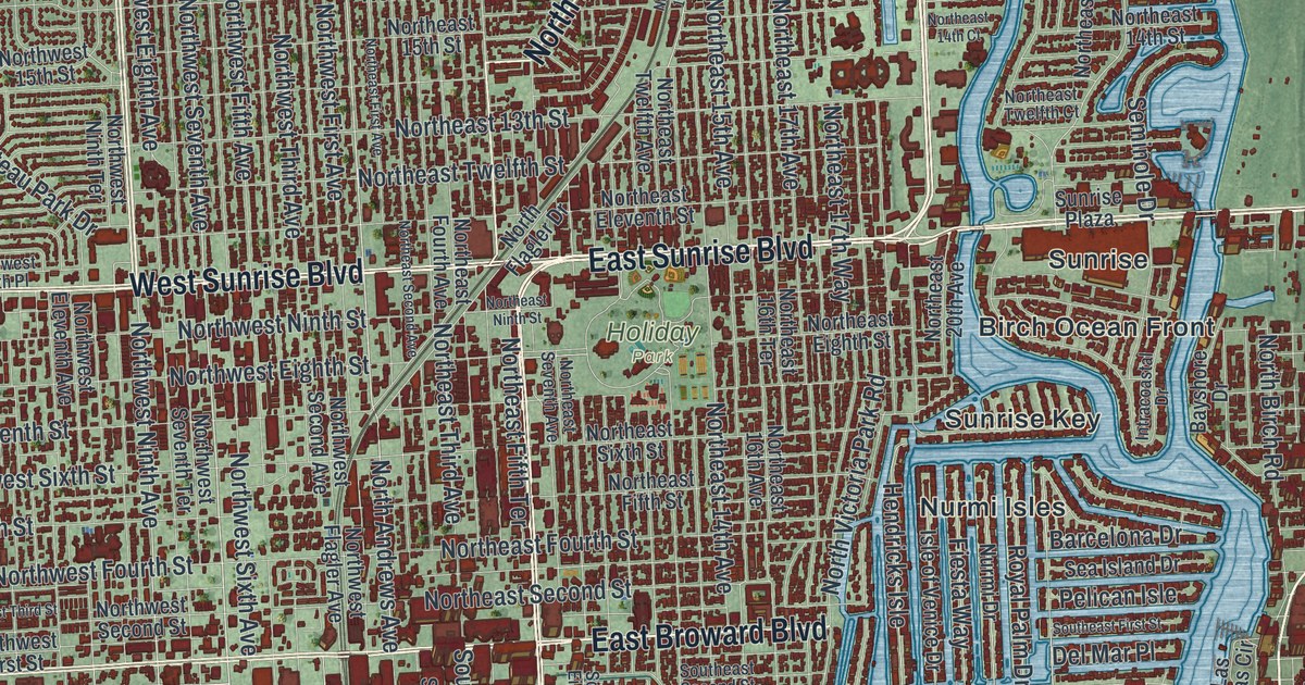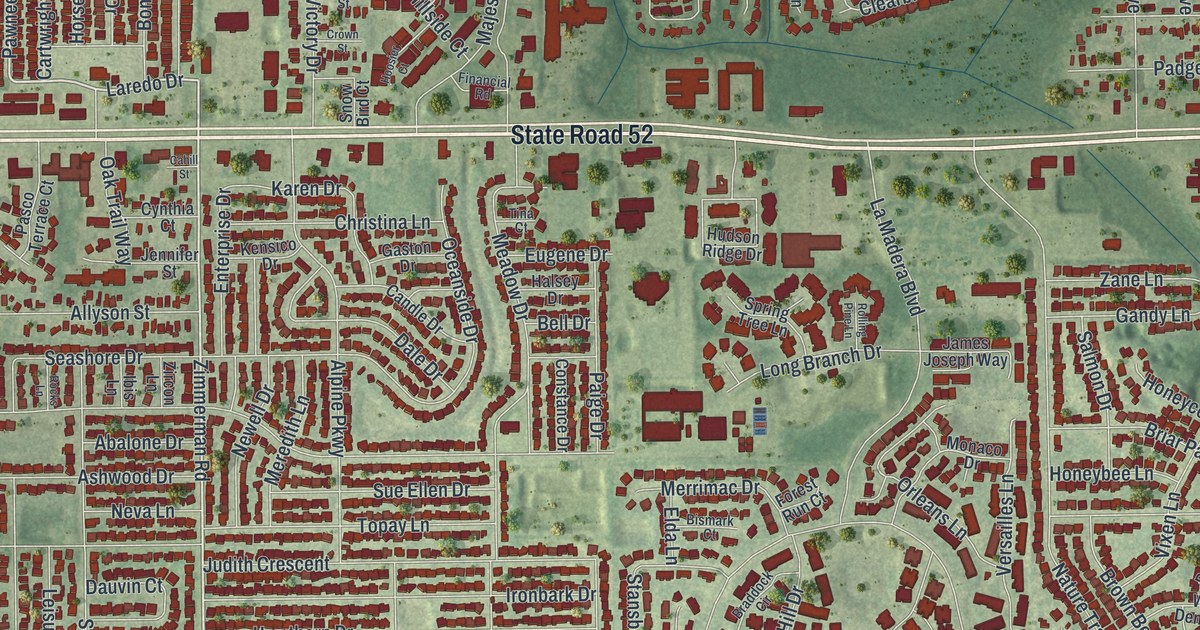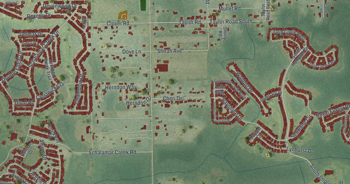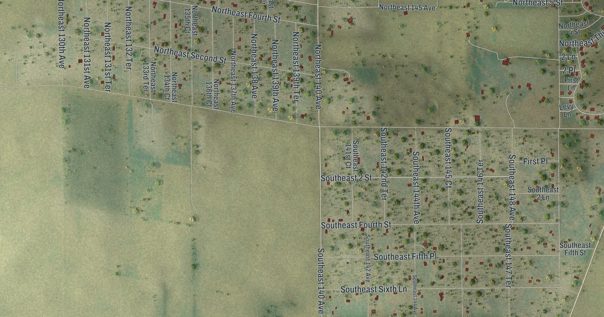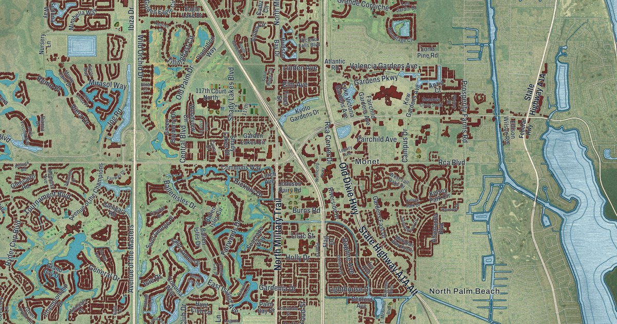
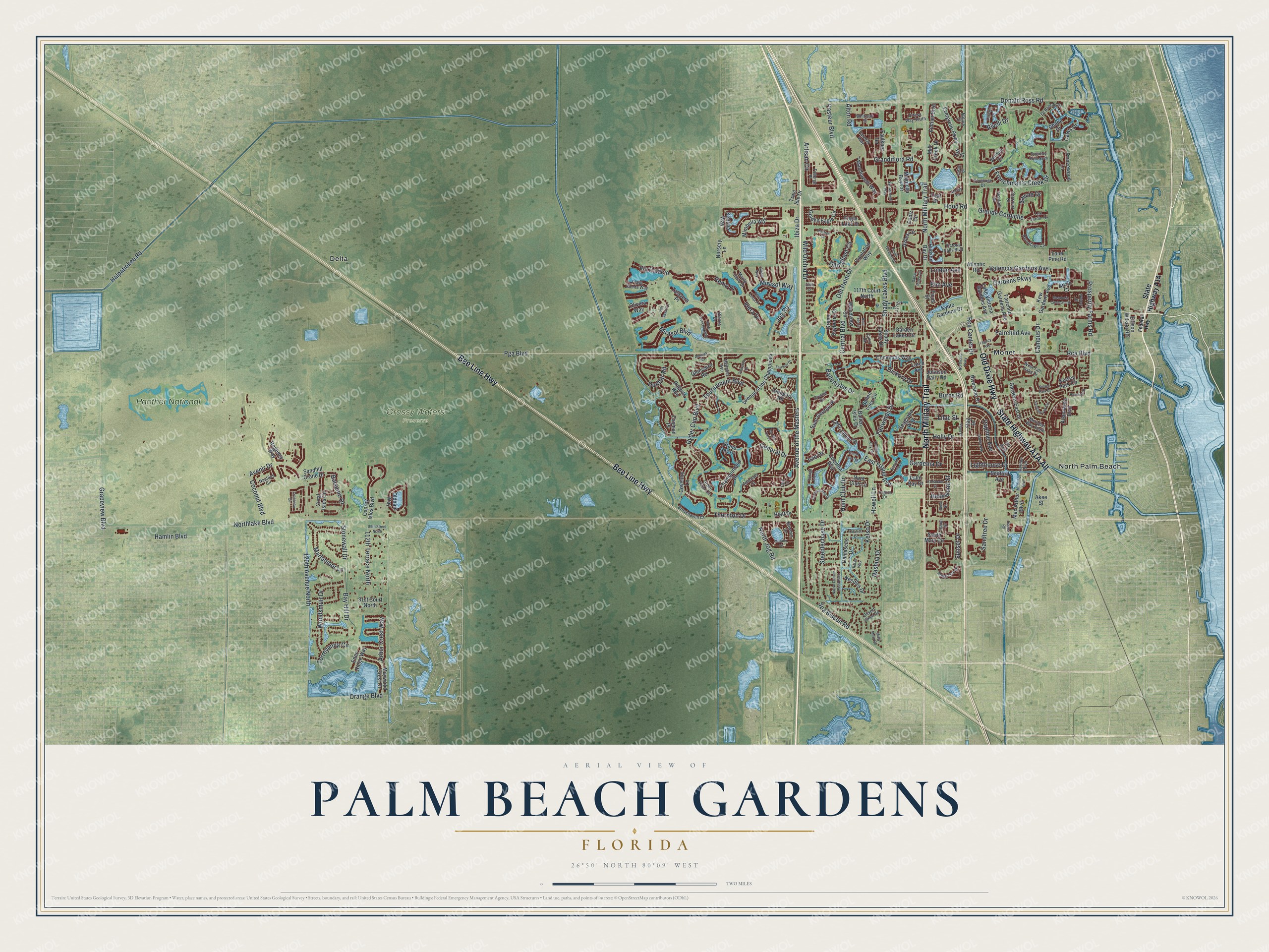
This beautifully detailed map of Palm Beach Gardens, Florida was created in 2026 using aerial imagery combined with modern topographical, census, street and landmark data. It’s a one-of-a-kind view of Palm Beach Gardens that combines accurate data with a vintage aesthetic. The map shows every building in its true location, many of the roads carry their names, and the shaded topographic relief shows the shape of the land.
Explore an aerial view of Palm Beach Gardens, Florida
On the map you’ll find Grassy Waters Preserve, Delta, Monet, North Palm Beach, and Panther National, along with Old Dixie Highway, State Highway A1A Alt, Bee Line Highway, North Military Trail, Pga Boulevard, Jog Road, Donald Ross Road, and more. If you look closely you can even find your house accurately drawn in its correct location. Zoom in on the preview to look for yours.
Did You Know?
Insurance magnate John D. MacArthur founded the city in 1959. He first wanted to call it Palm Beach City. The Florida Legislature refused because the name was too close to nearby Palm Beach. MacArthur dreamed of a garden city, so he chose Palm Beach Gardens instead.
Take a closer look at the Palm Beach Gardens map
Names on this map
These names are printed on this map.
Places: Grassy Waters Preserve, Delta, Monet, North Palm Beach and Panther National.
Streets and roads: Old Dixie Highway, Bee Line Highway, North Military Trail, Pga Boulevard, Jog Road, Donald Ross Road, North Jog Road, Northlake Boulevard, Hood Road, Central Boulevard, Mirasol Way, Ryder Cup Boulevard.
More street names, A to Z
81st Court North, 89th Street North, 112th Terrace North, 117th, 117th Court North, 120th Avenue North, Admirals Court, Akee Street, Allamanda Boulevard, Alnwick Road, Alton Road, Anzio Court, Arbor Crest Way, Artesa Way South, Artisan Circle, Atlantic Road, Avenir Drive, Avenue of the Champions, Avenue of the Masters, Aviles Circle, Ballen Isles Circle, Ballenisles Drive, Ballen Isles Drive, Balsamo Drive, Banyan Isle Drive, Bay Hill Drive, Bedford Avenue, Bellewood Street, Bent Tree Drive, Bianca Drive, Bowden Drive, Brookhaven Court, Burgundy Drive North, Burma Road, Burns Road, Cadiz Circle, Calais Drive, Campus Drive, Castle Drive, Cayman Place, Championship Drive, Charroux Drive, Citation Drive, Coconut Boulevard, Coconut Key Drive, Commons Way, Coquina Way, Coral Isles Circle, Coventry Lane, Crestdale Street, Crestview Circle, Crystal Drive, Curry Drive, Dahlia Avenue, Damascus Drive, Dania Drive, Daphne Avenue, Desert Vixen Road, Dunbar Road, Eagle Lake Drive, East Island Avenue, Eden Ridge Way, Elgin Lane, Elina Court, Ellison Wilson Road, Elm Avenue, Evergrene Parkway, Faberge Place, Fairchild Avenue, Fairchild Gardens Avenue, Fairway Drive, Fairwinds Drive, Faraday Way, Faulkner Terrace, Federal Highway, Ficus Street, Flag Drive, Frenchman's Creek Drive, Garden Boulevard, Gardenia Drive, Garden Lakes Circle, Gardens East Drive, Gardens Parkway, General Drive, Glencairn Road, Glengary Road, Golden Eagle Circle, Grand Cay Drive, Grande Corniche, Grandiflora Road, Grand Isle Terrace, Grapeview Boulevard, Green Bayberry Drive, Green Point Circle, Halpatiokee Road, Hamlin Boulevard, Hautree Court, Hermitage Circle, Hiatt Drive, Hickory Drive, Holly Drive, Howell Lane, Hudson Bay Drive, Hunt Club Drive, Hunt Club Lane, Ibiza Drive, Isle Drive, Ivy Avenue, Johnson Dairy Road, Kelsey Park Circle, Kelsey Park Drive, Kelso Drive, Kew Gardens Avenue, Kyoto Gardens Drive, Laguna Drive, Lake Victoria Gardens Avenue, Larch Avenue, Leaf Drive, Le Bateau Drive, Legacy Avenue, Lehavre Drive, Les Jardin Drive, Lighthouse Drive, Lilac Street, Linden Avenue, Lone Pine Road, Mac Arthur Boulevard, Machiavelli Way, Magnolia Bay Circle, Marlamoor Lane, Maywood Crest Drive, McArthur Boulevard, Meadows Circle South, Medalist Avenue, Meridian Way South, Mill Creek Drive, Mirabella Way, Mirasol Boulevard, Misty Morn Road, Montant Drive, Monte Carlo Drive, Murano Circle, Nashua Drive, Native Dancer Road East, Nature Court, Nautilus Circle, Needles Drive, Northcorp Parkway, Nursery Lane, Oldham Way, Old Palm Drive, Olivera Way, Orange Boulevard, Orchid Cay Drive, Osprey Isles Boulevard, Palm Bay Drive, Pasteur Boulevard, Plantation Way, Plant Drive, Playa Rienta Way, Porto Vecchio Way, Princewood Lane, Prosperity Farms Road, Rabbits Run, Raintree Drive, Rca Boulevard, Rca Center Drive, Reed Drive, Regency Way, Remo Place, Rhone Drive, Ridan Way, Riverside Drive, Rivoli Drive, Royal Oak Drive, Sabal Ridge Circle, Saint George Place, Saint James Drive, Sandalwood Circle, Sandhill Crane Drive, Sandtree Drive, San Michele Way, Savoie Drive, Sea Biscuit Road, Seagrape Way, Sedona Way, Shady Lakes Boulevard, Shady Lakes Drive, Siesta Way, South Gardens Drive, South Mary Circle, Steeplechase Drive, Stonewall Drive, Stoney Drive, Sunset Drive, Taft Court, Talavera Place, Terra Linda Place, Thornton Drive, Thurston Drive, Tillinghast Circle, Torreyanna Circle, Toulouse Drive, Tournament Boulevard, Trevi Isle Drive, Valencia Gardens Avenue, Verdun Drive, Via del Corso, Via Palacio, Victoria Falls Boulevard, Viera Drive, Villa Vasari Drive, Vintage Isle Lane, Vintner Boulevard, Walnut Street, West Tall Oaks Drive, Whitman Street, Wild Orchid Drive, Woodsmuir Drive, Woodview Circle.
See it on a wall
The Palm Beach Gardens map as a framed print. Swipe for more.


This beautifully detailed map of Palm Beach Gardens makes an attractive addition to your office, library, or den, and it can even be used to teach children the geography and history of the area. It also makes a great gift for someone who left Palm Beach Gardens and still calls it home. When you’re done exploring, click here to get your copy of the Palm Beach Gardens map.