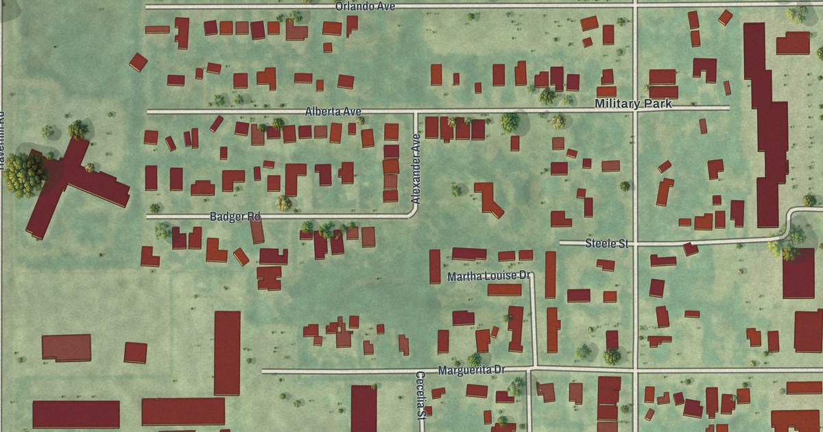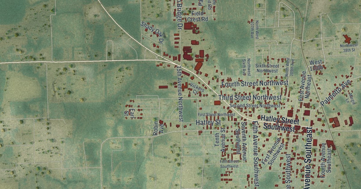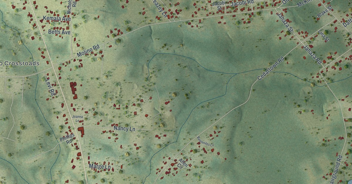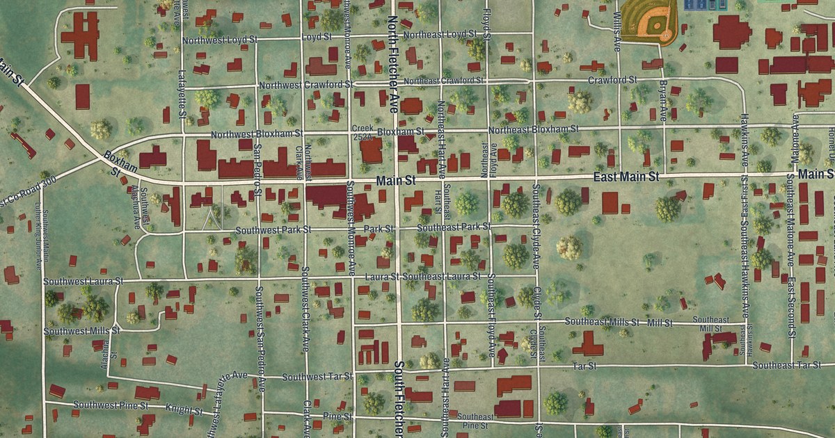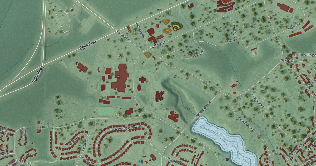
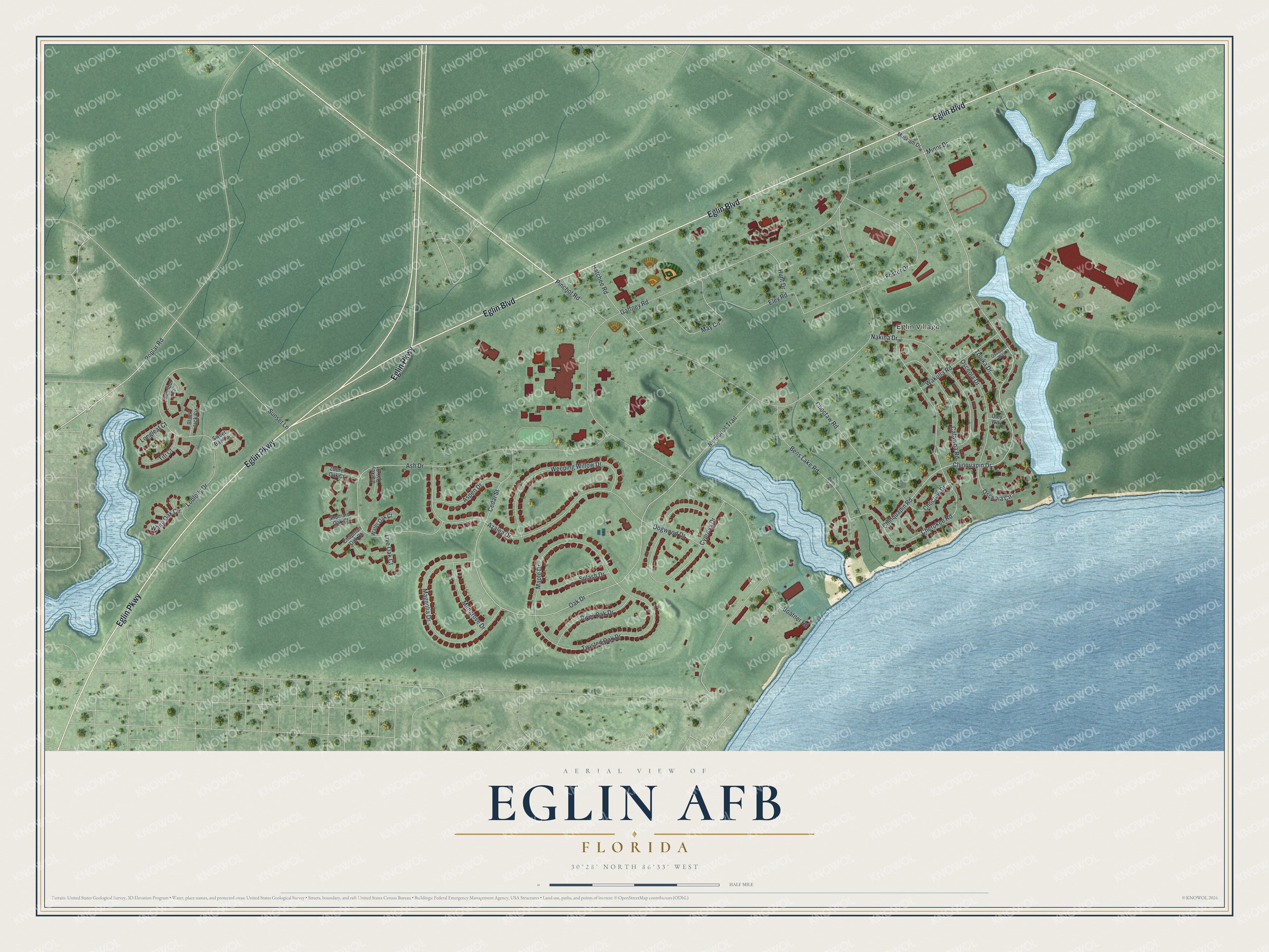
This beautifully detailed map of Eglin AFB, Florida was created in 2026 using aerial imagery combined with modern topographical, census, street and landmark data. It's a modern aerial view of Eglin AFB in Okaloosa County, Florida, that combines modern data with a vintage aesthetic. The roads feature printed names, and if you look closely you can find your exact house accurately shown in its correct location.
Explore an aerial view of Eglin AFB, Florida
On this map you'll find Eglin Village, Eglin Boulevard, Eglin Parkway, Poplar Road, Oak Drive, Chinquapin Drive, Chinquapin Road, Hatchee Road, Boatner Road, Ash Drive, Cherokee Road, Gaffney Road, and more. Each red shape is a building, so zoom in on the preview and look for yours.
Eglin AFB has a story worth telling. Eglin owes its start to James E. Plew, a local businessman and airplane enthusiast. At the height of the Depression he offered to donate 1,460 acres to the government for a bombing and gunnery range. The Army Air Corps later renamed the Valparaiso Bombing and Gunnery Base Eglin Field, for Lieutenant Colonel Frederick Irving Eglin. After the U.S. Air Force was created, Eglin Field took the name Eglin Air Force Base. That's from the Congressional Record.
Eglin AFB is a community in Okaloosa County. The Census Bureau counted 3,006 people here in 2020. Eglin AFB sits about 2 miles northeast of Lake Lorraine, 2 miles northeast of Shalimar and 3 miles southwest of Valparaiso. The map prints the town name in its title panel, with the coordinates below it.
Take a closer look at the Eglin AFB map
Names on this map
These names are printed on this map.
Places: Eglin Village.
Streets and roads: Eglin Boulevard, Eglin Parkway, Poplar Road, Oak Drive, Chinquapin Drive, Chinquapin Road, Hatchee Road, Boatner Road, Ash Drive, Cherokee Road, Gaffney Road, Azalea Drive.
More street names, A to Z
Aspen Drive, Bens Lake Road, Bens Lane, Black Jack Circle, Catawba Road, Cedar Street, Chapman Oak Court, Choctaw Drive, Choctaw Road, Cypress Drive, Dogwood Drive, Eley Road, Foster Drive, Hunt Drive, Laurel Oak Court, Live Oak Court, Loblolly Drive, Longleaf Court, Magnolia Drive, Mangrove Drive, Maple Drive, May Circle, Memorial Trail, Minor Drive, Museum Drive, Nakina Drive, Oley Way, Osceola Circle, Osceola Drive, Ossippee Way, Pinchot Road, River Oak Drive, Sandbur Court, Shumard Oak Court, Splash Drive, Sunset Lane, Sweet Bay Circle, Titi Court, Toluka Drive, Turkey Oak Court, Twisted Oak Drive, Wakulla Road, Water Oak Court, Weeping Willow Drive, White Oak Circle.
See it on a wall
The Eglin AFB map as a framed print. Swipe for more.


Created by KNOWOL in 2026. The buildings are small red shapes, the roads carry their printed names, and shaded relief shows the shape of the land. The title panel reads "AERIAL VIEW OF EGLIN AFB, FLORIDA" with 30°28' NORTH 86°33' WEST.
It looks right in a kitchen, an office or a den, and it's a gift for anyone who grew up in Eglin AFB or moved away. Open the preview and find your street. See sizes and frames for the Eglin AFB map.