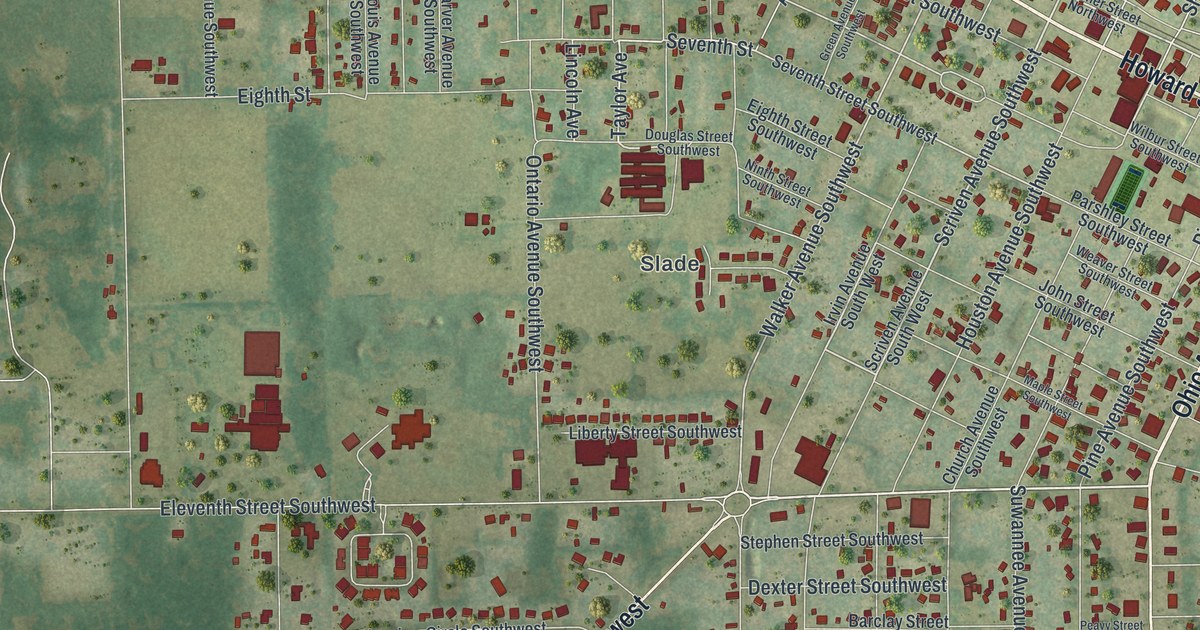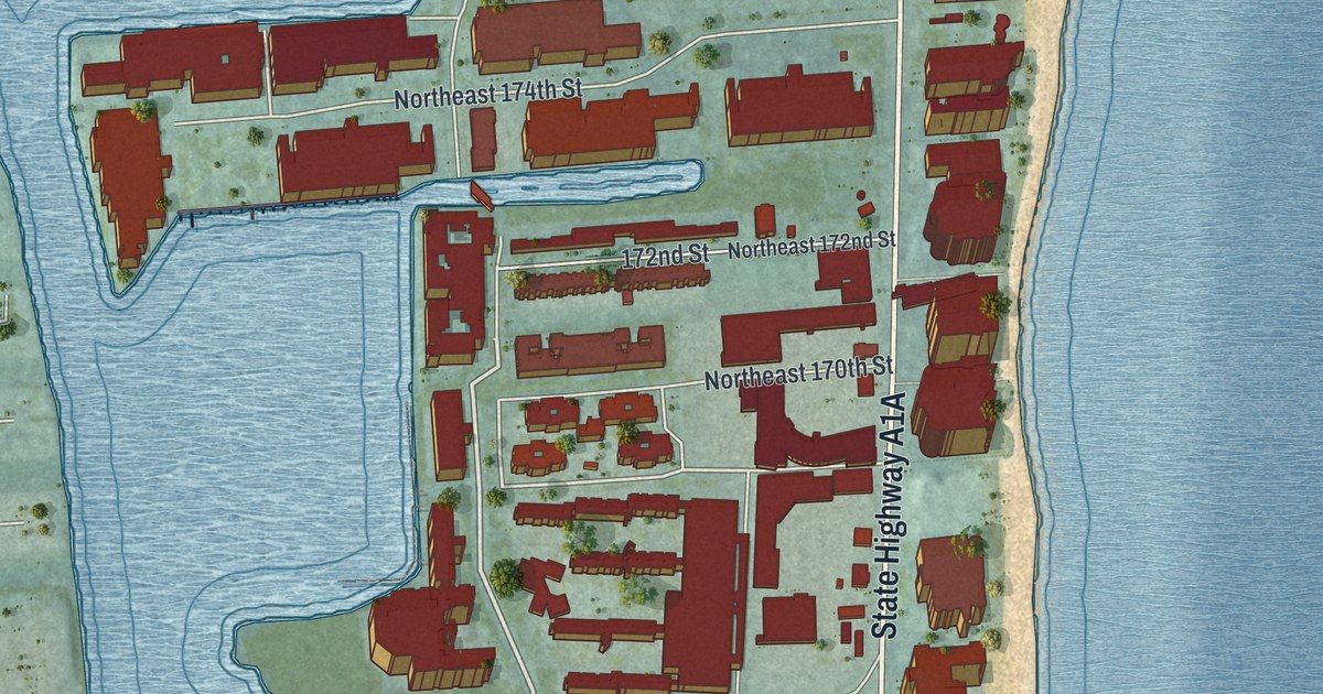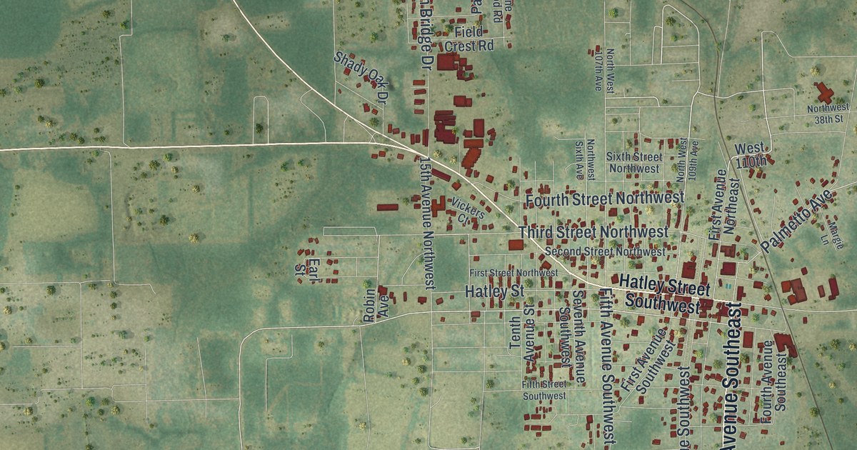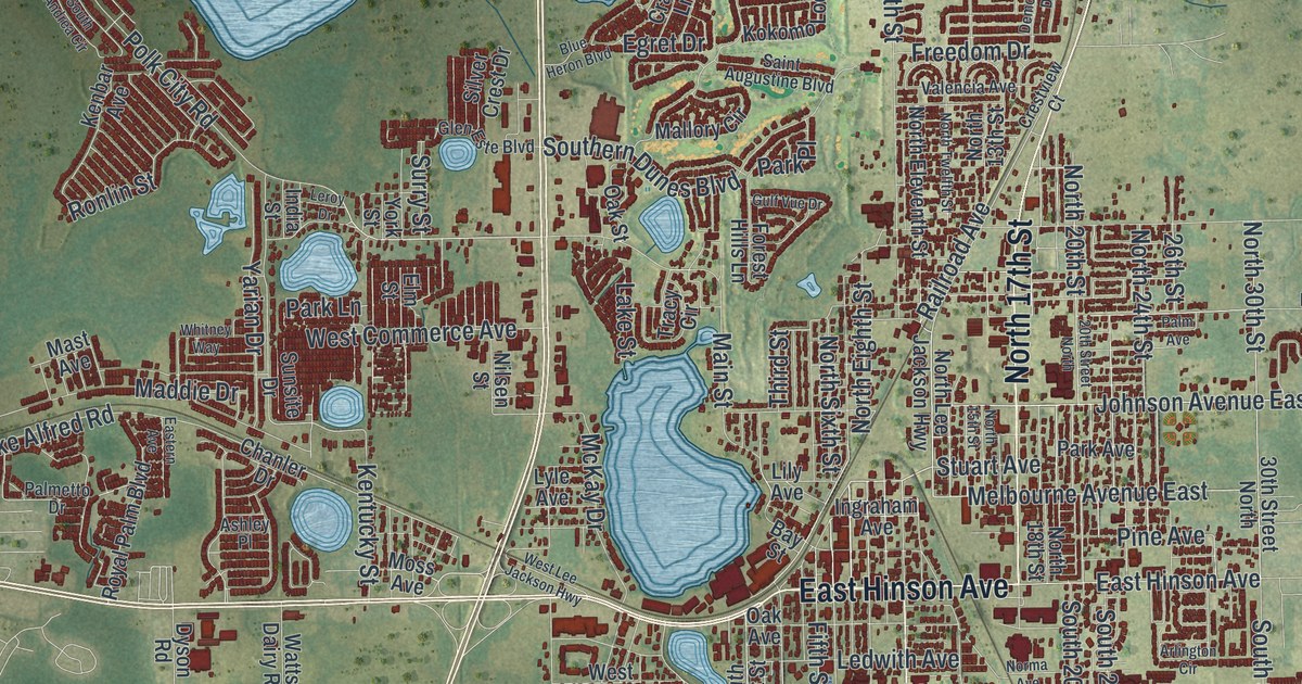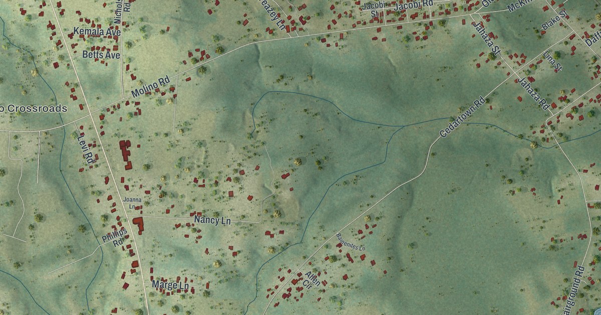
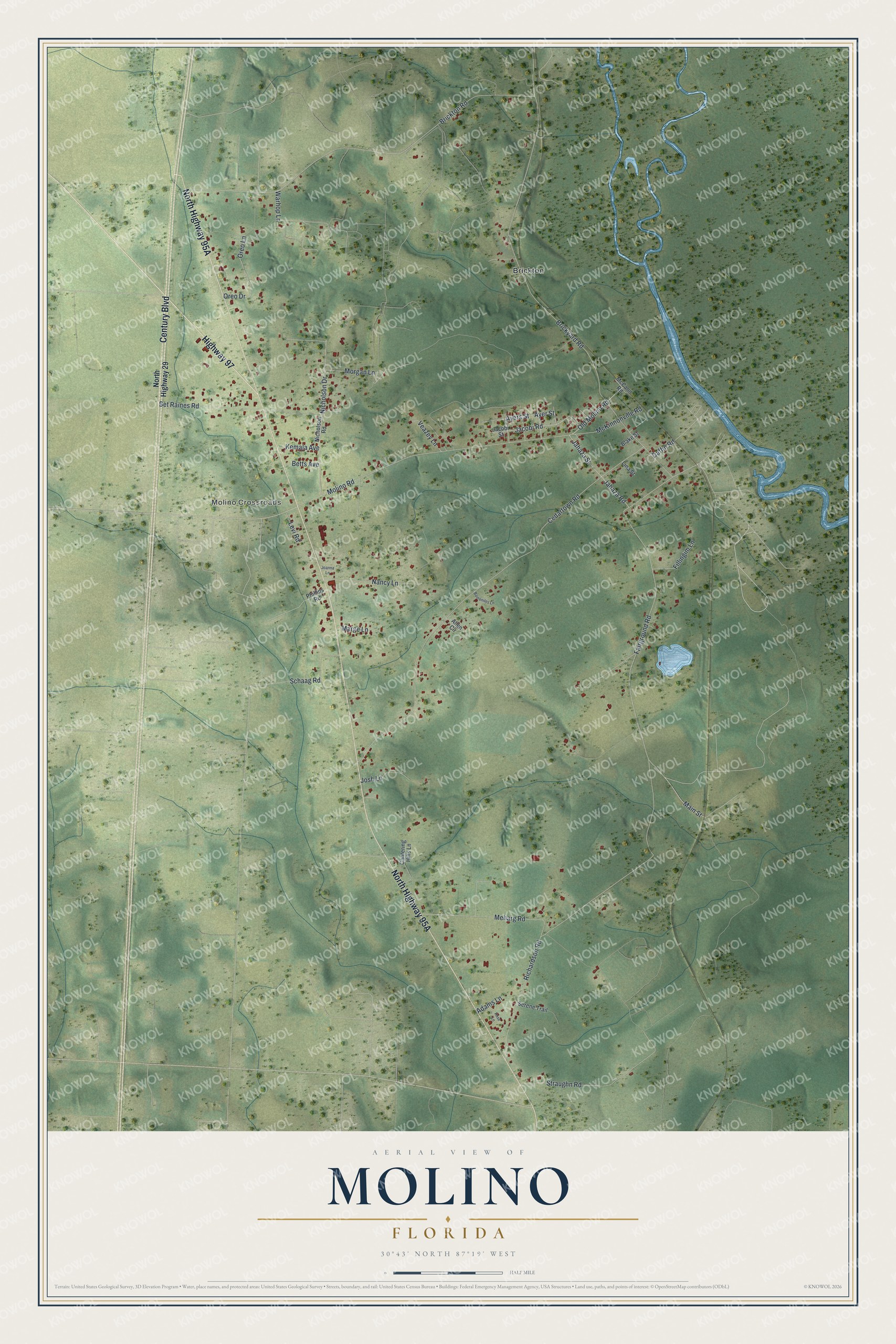
This beautifully detailed map of Molino, Florida was created in 2026 using aerial imagery combined with modern topographical, census, street and landmark data. It's a modern aerial view of Molino in Escambia County, Florida, that combines modern data with a vintage aesthetic. The roads feature printed names, and if you look closely you can find your exact house accurately shown in its correct location.
Explore an aerial view of Molino, Florida
On this map you'll find Molino Crossroads, Brickton, North Highway 95A, Century Boulevard, Highway 97, Nicholson Drive, Fairground Road, Warhop Lane, Ayers Street, Old Molino Road, Jacobi Road, Cedartown Road, and more. Each red shape is a building, so zoom in on the preview and look for yours.
Here is a piece of Molino history. Molino takes its name from the Spanish word for mill. The village was settled about 1820 and was probably named for the sawmills that worked in the area as early as 1812. It later had several brick plants that used the local clay, and it was a shipping point for farmers who grew large crops of corn and potatoes. That's from the Federal Writers Project.
Molino is a community in Escambia County. The Census Bureau counted 1,296 people here in 2020.
Take a closer look at the Molino map
Names on this map
These names are printed on this map.
Places: Molino Crossroads and Brickton.
Streets and roads: Century Boulevard, Highway 97, Nicholson Drive, Fairground Road, Warhop Lane, Ayers Street, Old Molino Road, Jacobi Road, Cedartown Road, Brickyard Road, Brickton Road, Molino Road.
More street names, A to Z
Adams Lane, Allen Circle, Ayer Street, Bainenites Lane, Bet Raines Road, Betts Avenue, Blake Street, Cantering Hills Lane, Daffin Road, Fillingim Lane, Jacobi Street, Jahaza Road, Jahaza Street, Joanna Lane, Josh Lane, Kemala Avenue, Levi Road, Lina Street, Main Street, Marge Lane, McCann Road, McKinnonville Road, Meharg Road, Morgan Lane, Nancy Lane, Nicholson Road, North Highway 29, Oreo Drive, Oreo Lane, Phillips Road, Richardson Road, Rose Lane, Schaag Road, Serene Trail, Straughn Road, Veazey Lane.
See it on a wall
The Molino map as a framed print. Swipe for more.


Created by KNOWOL in 2026. The buildings are small red shapes, the roads carry their printed names, and shaded relief shows the shape of the land. The title panel reads "AERIAL VIEW OF MOLINO, FLORIDA" with 30°43' NORTH 87°19' WEST.
It suits a den, a classroom or a front hall, and it makes a gift for anyone with Molino roots. Open the preview and find the block you know. See sizes and frames for the Molino map.