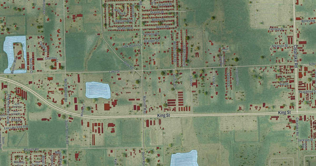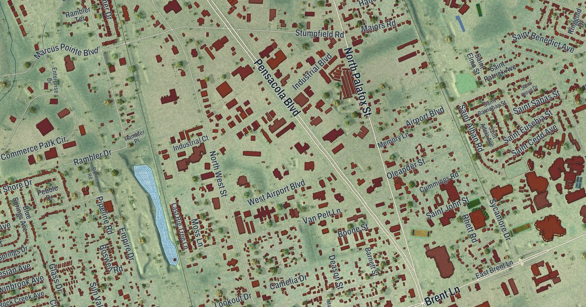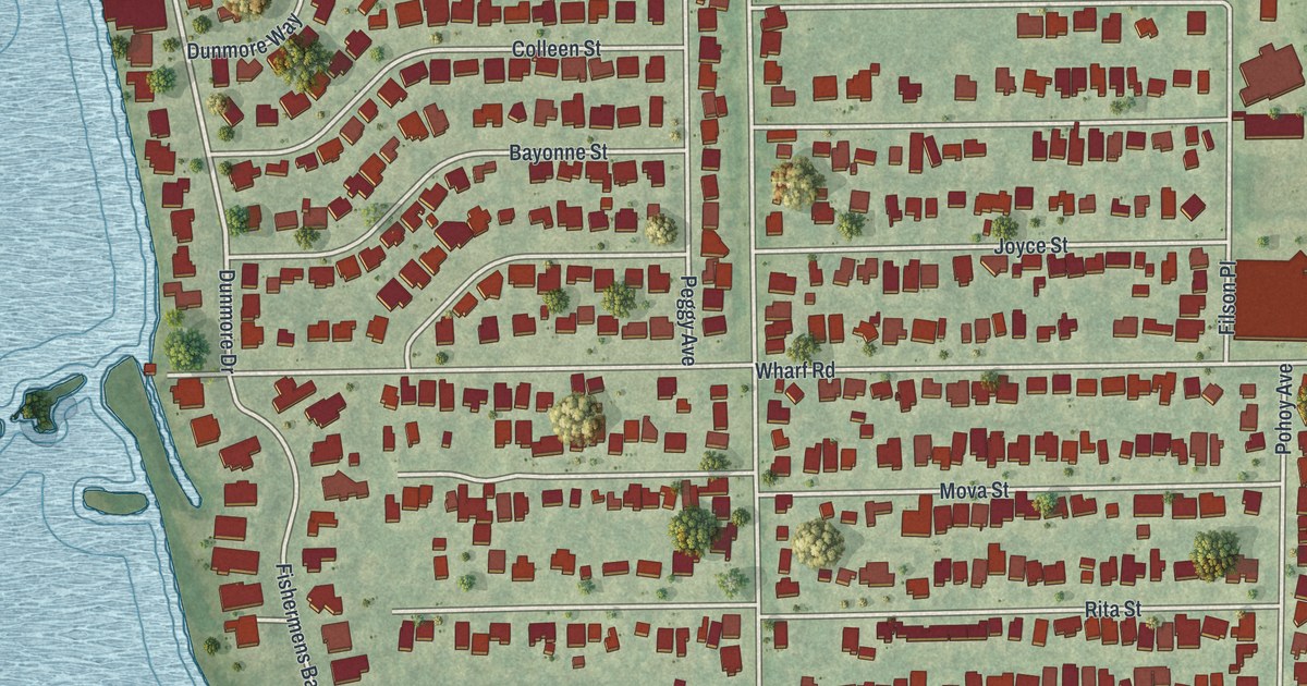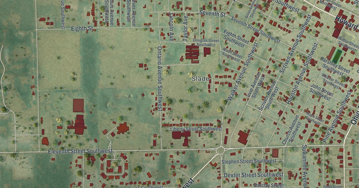
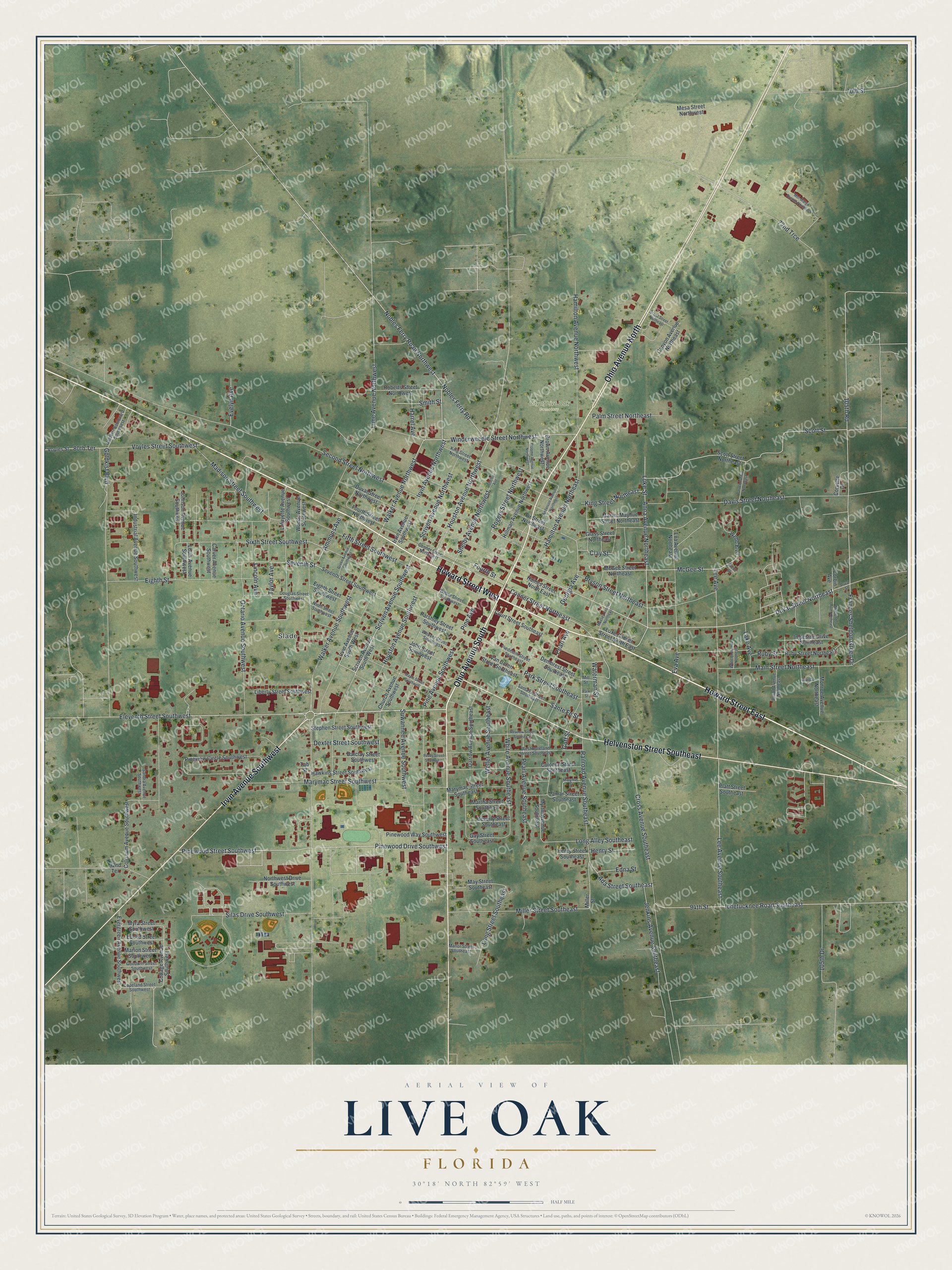
This beautifully detailed map of Live Oak, Florida was created in 2026 using aerial imagery combined with modern topographical, census, street and landmark data. It’s a one-of-a-kind view of Live Oak that combines accurate data with a vintage aesthetic. The map shows every building in its true location, many of the roads carry their names, and the shaded topographic relief shows the shape of the land.
Explore an aerial view of Live Oak, Florida
On the map you’ll find Slade and City of Live Oak Cemetery, along with Howard Street East, Howard Street West, Ohio Avenue North, Helvenston Street Southeast, Ohio Avenue South, Irvin Avenue Southwest, Eleventh Street Southwest, Winderweedle Street Northwest, Pinewood Drive Southwest, Pinewood Street Southwest, and more. If you look closely you can even find your house accurately drawn in its correct location. Zoom in on the preview to look for yours.
Did You Know?
The city took its name from a southern live oak tree. Workers building the Pensacola and Georgia Railroad rested and ate lunch beneath it. A depot rose nearby, and the settlement around it appears as Live Oak Station in records from 1861.
Take a closer look at the Live Oak map
Names on this map
These names are printed on this map.
Places: Slade and City of Live Oak Cemetery.
Streets and roads: Howard Street East, Howard Street West, Ohio Avenue North, Helvenston Street Southeast, Ohio Avenue South, Irvin Avenue Southwest, Eleventh Street Southwest, Winderweedle Street Northwest, Pinewood Drive Southwest, Pinewood Street Southwest, Scriven Avenue Southwest, Walker Avenue Northwest.
More street names, A to Z
70th Street, 72nd Trce, 80th Terrace, 92nd Terrace, 94th Street, 105th Drive, 105th Road, Ada Street Southeast, Ammons Avenue, Anderson Avenue Northeast, Anna Avenue Northeast, Barclay Street Southwest, Beverly Street Southeast, Broad Avenue Northeast, Broome Avenue Northwest, Brown Avenue Northwest, Bryson Street Northeast, Canyon Avenue Northeast, Carver Avenue Southwest, Church Avenue Southwest, Clay Street, Coliseum Avenue Southwest, Colonial Street Southeast, Conner Street Northeast, Conner Street Northwest, Copeland Street Southwest, Corbin Avenue, Corvette Drive, Cottage Avenue Southwest, Court Street Southeast, Cross Avenue Southeast, Cypress Street, Darrow Avenue Southeast, Davis Street Northeast, Demorest Street Southeast, Dexter Street Southwest, Douglas Street Southwest, Duval Street, Duval Street Northeast, Duval Street Northwest, Edna Street, Eighth Street, Eighth Street Southwest, Euclid Street Southwest, Eva Avenue, Eva Avenue Northeast, Evelyn Avenue, Evergreen Avenue Southwest, Fifth Street Southwest, Fir Street Northeast, Fourth Street, Fourth Street Northwest, Frances Sheldon Green Drive, Gay Street Southeast, Georgia Avenue, Glass Street Northeast, Goff Street, Goldkist Boulevard, Goldkist Boulevard Southwest, Goodwin Street Southwest, Grand Street Northeast, Green Avenue Southwest, Haines Street North East, Hamilton Avenue Northeast, Hamilton Avenue Northwest, Harrel Avenue, Hawkins Street Southwest, Henry Street, Henry Street Southeast, Hillman Avenue Northwest, Houston Avenue Northwest, Houston Avenue Southwest, Ichetucknee Road Southeast, Industrial Avenue Southwest, Ingleside Drive Northeast, Irvin Avenue Northwest, Irvin Avenue South West, Jenkins Avenue Southeast, Johnson Avenue Southwest, John Street Southwest, King Street Northeast, King Street Northwest, Lafayette Avenue Southwest, Lake Avenue, Lamar Street Southeast, Lee Avenue, Lee Avenue Southeast, Liberty Street Southwest, Lime Avenue Northwest, Lincoln Avenue, Long Alley Southeast, Long Street Southeast, Louis Avenue Southwest, Luke Street, Luxe Conner Street North East, Madison Street Southwest, Main Street Northeast, Manor Street Southeast, Maple Street Southwest, Marion Street Southwest, Martha Street Southeast, Martin-Mayhue Street Northeast, Marymac Street, Marymac Street Southeast, Marymac Street Southwest, May Street Southeast, McClendon Drive Northeast, McGee Street, McGee Street Northeast, Meadow Street Southeast, Mel-Margo Avenue Northeast, Mesa Street Northwest, Miller Street, Miller Street Southeast, Mill Street, Monroe Avenue Northeast, Mussey Avenue Northeast, Myra Street Southwest, Myrtle Avenue Southeast, Ninth Street Southwest, Nobles Ferry Road, Nobles Ferry Road Northwest, Northwest Drive Southwest, Ontario Avenue Southwest, Palm Street Northeast, Park Street, Park Street Southeast, Parshley Street Southwest, Pearl Avenue, Pearl Avenue Southeast, Peavy Street Southwest, Piedmont Street Southeast, Pine Avenue, Pine Avenue Southwest, Pineview Circle Southwest, Pinewood Way Southwest, Platt Street Southeast, Railroad Avenue Southeast, Roberts Street Northwest, Rogers Street Northwest, Ruby Street, Ruby Street Northeast, Sandra Avenue Southwest, Santa Fe Street Southeast, Sante Fe Street, Scott Street, Scott Street Northeast, Scriven Avenue Northwest, Scriven Avenue South West, Second Street Northwest, Seventh Street, Seventh Street Southwest, Shelby Avenue, Shelby Avenue Northwest, Silas Drive Southwest, Sixth Street Southwest, Smith Street, Stephen Street Southwest, Suwannee Avenue Southwest, Tab Street, Tarver Avenue Northeast, Taylor Avenue, Van Buren Street Southeast, Voyles Street, Voyles Street Southwest, Walker Avenue Southwest, Waterman Street, Weaver Street Southwest, Webb Boulevard, Webb Drive, Weller Avenue Southeast, Westmoreland Street Southeast, Wheeler Avenue Northeast, White Avenue Southeast, Wilbur Street Southwest, Woods Avenue Southwest.
See it on a wall
The Live Oak map as a framed print. Swipe for more.


This beautifully detailed map of Live Oak makes an attractive addition to your office, library, or den, and it can even be used to teach children the geography and history of the area. It also makes a great gift for anyone who grew up in Live Oak or moved away. When you’re done exploring, click here to get your copy of the Live Oak map.