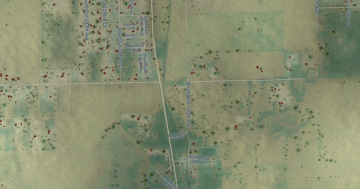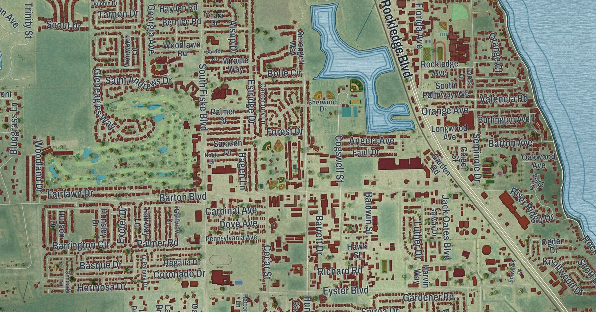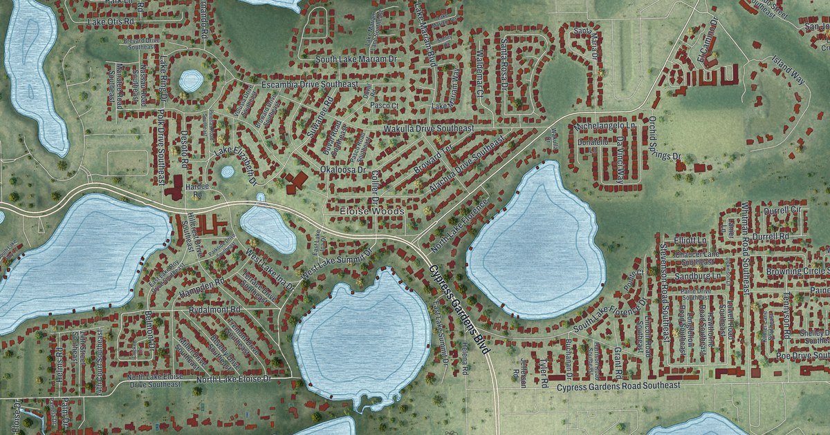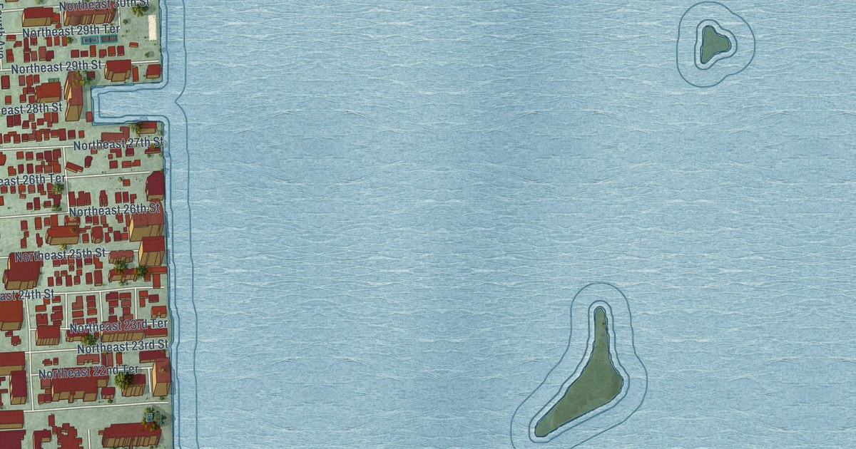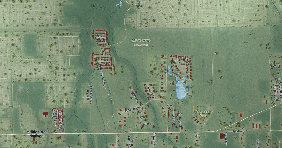
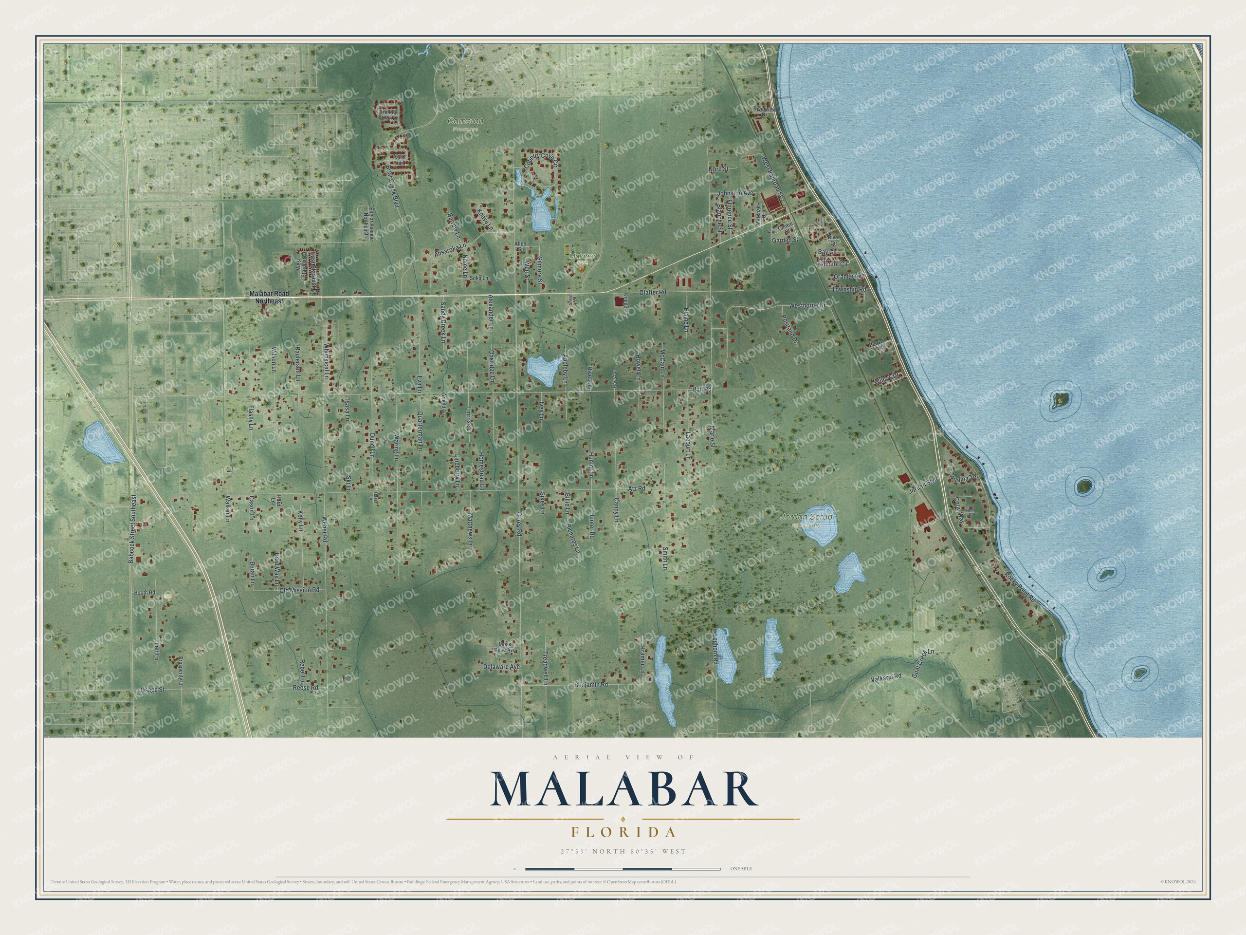
This beautifully detailed map of Malabar, Florida was created in 2026 using aerial imagery combined with modern topographical, census, street and landmark data. It’s a one-of-a-kind view of Malabar that combines accurate data with a vintage aesthetic. The map shows every building in its true location, many of the roads carry their names, and the shaded topographic relief shows the shape of the land.
Explore an aerial view of Malabar, Florida
On the map you’ll find Cameron Preserve, Jordan Scrub Sanctuary, and Malabar Park, along with Camelot Circle, Garden Street, Gilmore Street, Corey Road, Atz Road, Hall Road, Weber Road, Marie Street, Rocky Point Road, and more. If you look closely you can even find your house accurately drawn in its correct location. Zoom in on the preview to look for yours.
Take a closer look at the Malabar map
Names on this map
These names are printed on this map.
Places: Cameron Preserve, Jordan Scrub Sanctuary and Malabar Park.
Streets and roads: Camelot Circle, Garden Street, Gilmore Street, Corey Road, Atz Road, Hall Road, Weber Road, Marie Street, Rocky Point Road, Briar Creek Boulevard, Westhorpe Drive, Babcock Street Southeast.
More street names, A to Z
Absaroka Lane, Alexander Lane, Allen Street, Appleby Lane, Arnold Lane, Barrow Lane, Bay Circle, Benjamin Road, Beran Lane, Billie Lane, Blanche Street, Booth Road, Candy Lane, Cason Lane, Centre Street, Coquina Terrace, Coral Way, Country Cove Circle, Delaware Avenue, Duncil Lane, East Stardust Drive, Elaine Lane, Englar Avenue Northeast, Eva Lane, Falls Trail, Flashy Lane, Florence Street, Glatter Road, Goat Creek Lane, Hard Lane, Hard Way Lane, Hazel Lane, Hollow Brook Lane, Homestead Lane, Howell Lane, Hunter Lane, Hunter Road, Isasa Lane, Ivey Lane, Johnston Avenue, Jordan Boulevard, Kelly Lane, Knave Lane, Kramer Lane, Krieger Lane, Lacourt Lane, Leghorn Road, Lett Lane, Lineberry Lane, Linrose Lane, Malabar Road Northeast, Marshall Drive, Matthews Lane, McCain Lane, Moss Rose Avenue, Nome Lane, Nord Street, Oakridge Lane, Old Mission Road, Orange Avenue, Osage Street, Passaic Avenue, Pine Street, Positano Drive, Prosperity Lane, Quarterman Lane, Raulerson Lane, Rays Lane, Rebel Lane, Reef Place, Reese Road, Richards Lane, River Circle, Riverview Drive, Rivet Lane, Sandy Creek Lane, Shiflett Lane, Sikes Lane, Sitka Lane, Ski Lane, Smith Lane, Township Road, Treadwell Lane, Valkaria Road, Walker Lane, Waring Lane, Weir Street, West Railroad Street, West Stardust Drive, Whimsical Lane, Willow Drive, Wilson Lane.
See it on a wall
The Malabar map as a framed print. Swipe for more.


This beautifully detailed map of Malabar makes an attractive addition to your office, library, or den, and it can even be used to teach children the geography and history of the area. It also makes a great gift for someone who left Malabar and still calls it home. When you’re done exploring, click here to get your copy of the Malabar map.