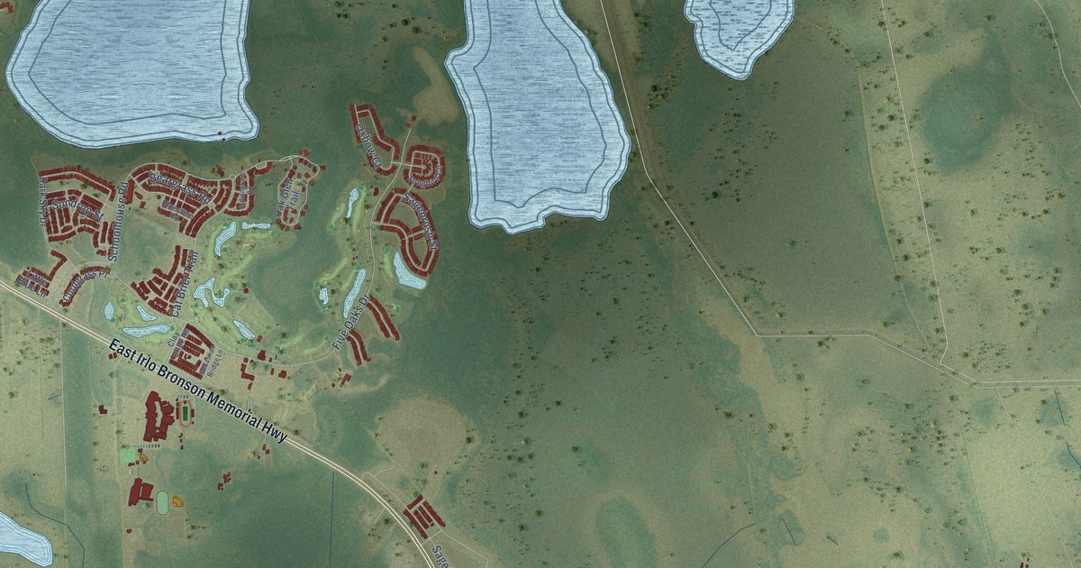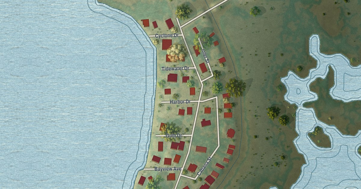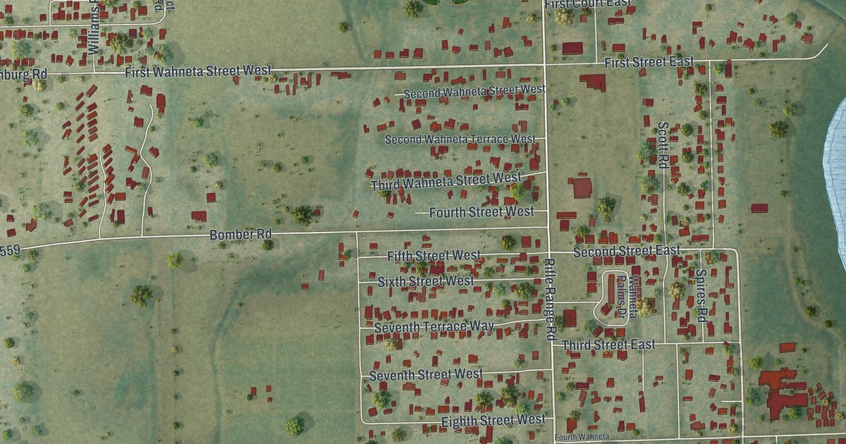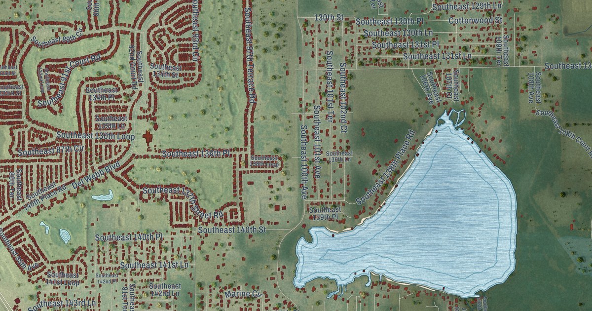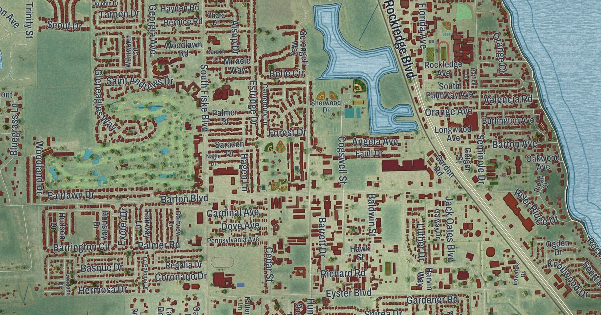
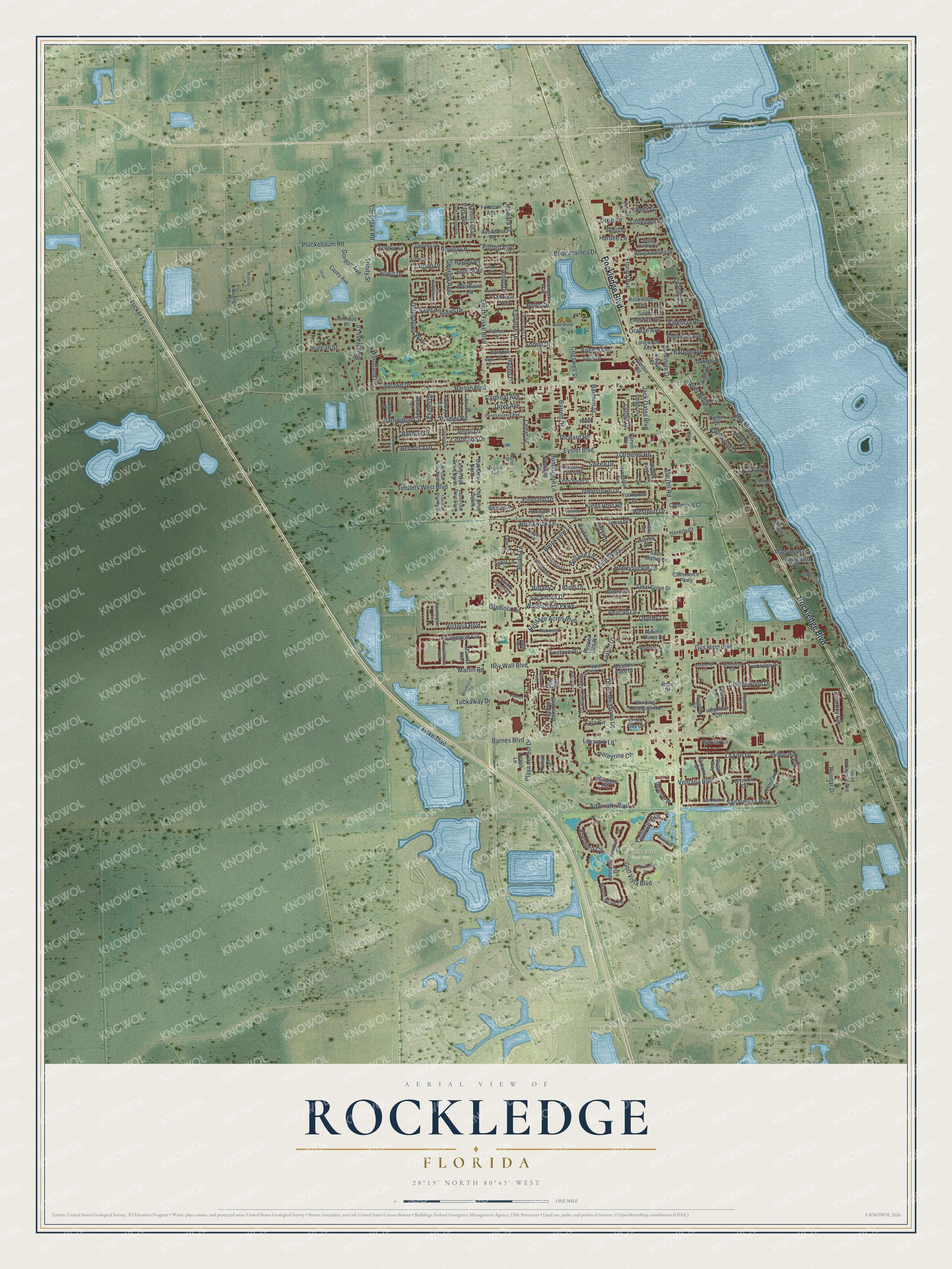
This beautifully detailed map of Rockledge, Florida was created in 2026 using aerial imagery combined with modern topographical, census, street and landmark data. It’s a one-of-a-kind view of Rockledge that combines accurate data with a vintage aesthetic. The map shows every building in its true location, many of the roads carry their names, and the shaded topographic relief shows the shape of the land.
Explore an aerial view of Rockledge, Florida
On the map you’ll find Viera East Golf Club, along with Rockledge Boulevard, Rockledge Drive, Barnes Boulevard, Huntington Lane, Cogswell Street, Jamestown Drive, South Fiske Boulevard, Murrell Road, Barton Boulevard, Pluckebaum Road, Eyster Boulevard, and more. If you look closely you can even find your house accurately drawn in its correct location. Zoom in on the preview to look for yours.
Did You Know?
Rockledge incorporated on August 7, 1887, and is the oldest city in Brevard County. In the early 1900s it was a winter resort. Big hotels such as the Hotel Indian River served Northern tourists fleeing the cold. Each winter the population rose from about 200 to nearly 2,000.
Take a closer look at the Rockledge map
Names on this map
These names are printed on this map.
Places: Viera East Golf Club.
Streets and roads: Rockledge Boulevard, Rockledge Drive, Barnes Boulevard, Huntington Lane, Cogswell Street, Jamestown Drive, South Fiske Boulevard, Murrell Road, Barton Boulevard, Pluckebaum Road, Eyster Boulevard, Levitt Parkway.
More street names, A to Z
Aberdeen Circle, Adelaide Drive, Admiralty Boulevard, Alsup Drive, Angela Avenue, Apple Creek Lane, Autumn Pines Drive, Avalon Drive, Avondale Road, Baldwin Street, Barrett Drive, Barrington Circle, Bartel Lane, Barton Avenue, Basque Drive, Bayberry Lane, Bayshore Court, Bayward Lane, Beacon Road, Beaverdale Lane, Beechfern Lane, Bellaire Lane, Belmont Place, Bernice Road, Beryl Drive, Bluegrass Lane, Bolle Circle, Bolton Lane, Botany Lane, Bougainvillea Drive, Bouganvillea Drive, Brantley Circle, Brevard Avenue, Bridgeport Circle, Bridle Lane, Brookcrest Circle, Brookview Lane, Brunswick Lane, Burlington Avenue, Canterbury Lane, Cardinal Avenue, Cardon Drive, Cascade Circle, Casey Avenue, Cavendish Court, Cedar Street, Clearlake Road, Cobblewood Drive, Collingtree Drive, Commerce Court, Commerce Parkway, Condado Drive, Coronado Drive, Creek Side Circle, Deer Trail, Dixie Lane, Dolphin Drive, Dove Avenue, Edward's Drive, Enclave Drive, Estridge Drive, Exeter Drive, Fairlawn Drive, Fairway Lane, Faull Drive, Ferndale Avenue, Fiske Trail, Florida Avenue, Floridelphia Avenue, Forest Drive, Galway Drive, Gardener Road, Garden Road, Geiger Street, Gem Circle, Georgia Avenue, Gladiola Circle, Glenbrook Circle, Gleneagles Way, Golfview Drive, Golf Vista Boulevard, Gordon Avenue, Groves Drive, Gus Hipp Boulevard, Hagen Lane, Hamilton Avenue, Hardee Lane, Harvest Circle, Harvin Way, Haverty Court, Hawk Street, Hawthorne Avenue, Hayden Road, Heathrow Circle, Hensley Drive, Heritage Acres Boulevard, Hermosa Drive, Hialeah Street, Honeysuckle Drive, Howard Street, Hudson Drive, Indian Oaks Boulevard, Jacaranda Circle, Jack Oates Boulevard, Jefferson Road, Kara Circle, Kentucky Avenue, Kings Post Road, Knollwood Drive, La Flor Drive, La Paloma Drive, Lara Circle, Laurel Drive, Laurel Oak Drive North, Laurel Oak Drive South, Lenore Court, Lexington Road, Lexmark Lane, Littlejohn Lane, Live Oak Drive North, Live Oak Drive South, Longwood Avenue, Lorenza Place, Luther Drive, Magruder Avenue, Martin Road, Meadow Lake Drive, Meander Place, Merrick Avenue, Miracle Way, Mustang Lane, Nagle Drive, Nimitz Court, Oak Drive North, Oak Drive South, Oakwood Avenue, Ocaso Lane, Ogden Drive, Ohara Drive, Orange Avenue, Orange Court, Orion Way, Osprey Lane, Outrigger Circle, Palmer Road, Palmer Street, Park Avenue, Parkstone Drive, Patrick Lane, Patton Lane, Pebble Hill Way, Pelican Lane, Pennsylvania Avenue, Pepper Tree Place, Peregrine Circle, Pine Baugh Street, Pineland Drive, Pines Industrial Avenue, Pinson Boulevard, Playa del Sol Drive, Regalia Drive, Renee Court, Revilla Lane, Richard Road, Richwood Circle, Ridge Court, Riomar Drive, River Ridge Drive, Rockledge Avenue, Rose Drive, Roy Wall Boulevard, Sabal Grove Drive, Sable Lane, Saint Andrews Drive, Saint Michel Drive, San Beluga Way, Sangria Circle, San Ysidro Way, Sarazen Drive, Scott Lane, Scout Drive, Seminole Drive, Serengeti Way, Sherwood Drive, Skelly Drive, Sleepy Hollow Lane, Sloan Court, South Carolina Avenue, South Hardee Circle, South Palmway Avenue, Spirea Drive, Stonehenge Circle, Summer Place, Sweet Street, Swiss Pointe Lane, Sycamore Drive, Tarpon Drive, Three Meadows Drive, Timbers West Boulevard, Topaz Drive, Trinity Street, Tuckaway Drive, Tucker Lane, Tunbridge Drive, Upmann Drive, Valencia Road, Varr Avenue, Ventana Boulevard, Victoria Boulevard, Virginia Avenue, Wandering Pine Trail, Waterford Drive, Water Lily Lane, Wellington Circle, Wenthrop Circle, Wentworth Circle, Westport Drive, Whetstone Place, Whimsical Circle, White Pine Avenue, Wildwood Way, Winding Meadows Road, Woodhall Circle, Woodland Drive, Woodlawn Road, Woodsmere Parkway, Worthington Circle, Wrangler Lane, Wynfield Circle, Yorktowne Drive.
See it on a wall
The Rockledge map as a framed print. Swipe for more.


This beautifully detailed map of Rockledge makes an attractive addition to your office, library, or den, and it can even be used to teach children the geography and history of the area. It also makes a great gift for anyone with Rockledge roots. When you’re done exploring, click here to get your copy of the Rockledge map.